Loading video…


 11 Concepts
 224K views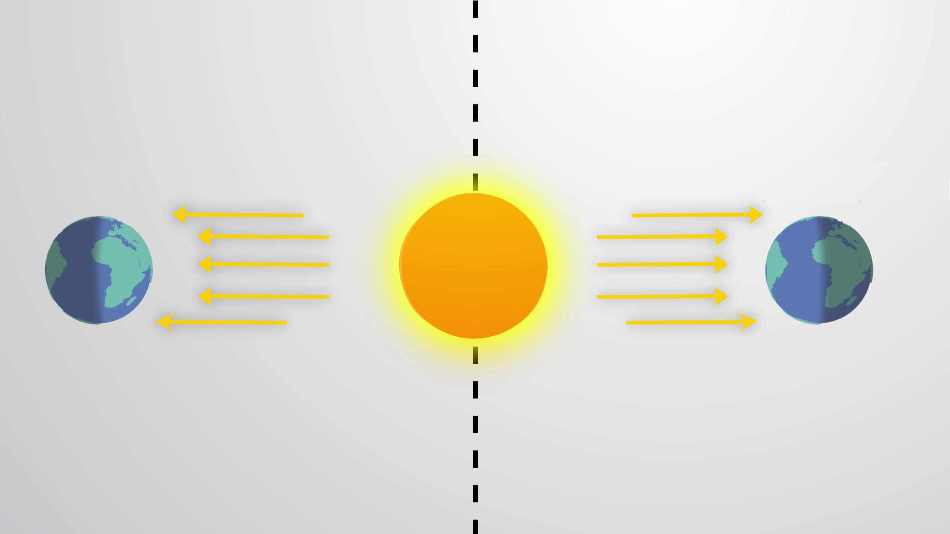

Video Summary: Climate Definition
Did you know that the climate in Alaska's northern regions can be over 100°F colder than southern Florida, even though they're part of the same country? Climate represents the long-term atmospheric patterns that define a region's weather over decades or centuries, shaped by factors like latitude, terrain, and proximity to water bodies. The climate definition encompasses everything from why the Pacific Northwest receives abundant rainfall to why Arizona remains predominantly arid. Understanding climate helps explain why California's Central Valley produces most of America's fruits and vegetables while the Great Plains excel in grain production. Watch the full video on JoVE Coach to master this concept with expert-led visuals and step-by-step explanations.
Climate definition encompasses the average atmospheric conditions-including temperature, precipitation, humidity, and wind patterns-that characterize a region over extended periods, typically 30 years or longer. Unlike weather, which describes short-term atmospheric conditions, climate represents the long-term statistical summary of weather patterns that define what to expect in a given location throughout different seasons and years.
The climate concept explained involves understanding how various factors interact to create distinct regional patterns. Students preparing for AP Environmental Science or college-level geography courses must grasp that climate operates on multiple timescales, from seasonal variations to century-long trends that shape ecosystems, agriculture, and human settlement patterns.
The primary driver of global climate patterns is the uneven distribution of solar energy across Earth's surface. At the equator, solar radiation strikes Earth nearly perpendicular, concentrating energy over a smaller area and creating consistently warm temperatures year-round. This explains why states like Hawaii maintain tropical climates with average temperatures rarely dropping below 60°F.
Conversely, higher latitudes receive solar radiation at increasingly oblique angles, spreading the same amount of energy over larger surface areas. Alaska's interior regions exemplify this principle, experiencing extreme temperature variations with summer highs reaching 80°F and winter lows plummeting to -60°F. This latitude effect appears frequently on SAT Subject Tests and AP exams, requiring students to explain temperature gradients from equator to poles.
Terrain significantly influences local climate patterns through mechanisms like orographic precipitation and rain shadow effects. The Rocky Mountains demonstrate this principle across multiple US states, forcing moisture-laden air masses to rise and cool, depositing precipitation on windward slopes while creating arid conditions on leeward sides.
California's climate diversity illustrates these concepts perfectly. The Sierra Nevada mountains create distinct climate zones: the western slopes receive abundant precipitation supporting forests, while the eastern slopes remain relatively dry. This geographic influence on climate appears in college-level physical geography courses and helps explain agricultural patterns students might encounter in economics or environmental science classes.
Earth's axial tilt of 23.5 degrees creates seasonal climate variations as different latitudes receive varying amounts of solar radiation throughout the year. During summer in the Northern Hemisphere, regions like Minnesota experience long daylight hours and warm temperatures, while the same areas endure short days and frigid conditions during winter months.
Understanding these temporal patterns proves essential for students preparing for standardized tests like the MCAT, which may include questions about human physiology's adaptation to seasonal changes, or AP Biology exams covering ecological succession patterns influenced by seasonal climate variations.
Related Micro-courses