Loading subject page…

- Civil Engineering
- Horizontal and Vertical Curves
- Design Example: Setting a Curve Using Design Data
Micro-course: Horizontal and Vertical Curves
2,165 views
Learn key concepts and earn your certificate.

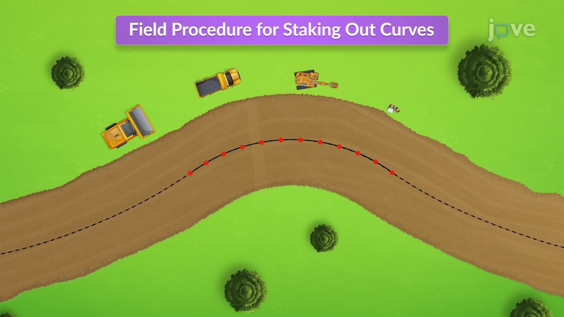

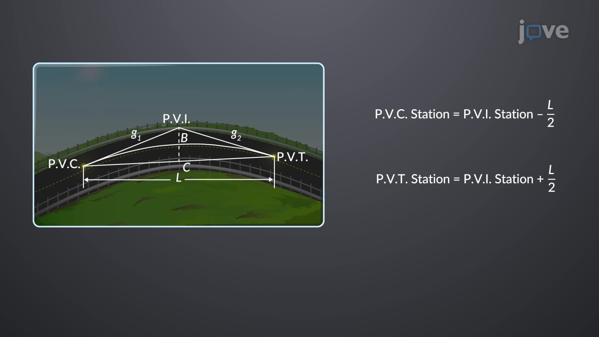
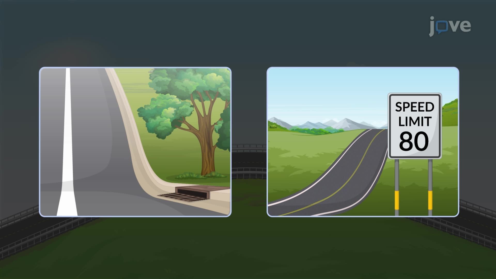

Design Example: Setting a Curve Using Design Data

00:00
01:09
Video Summary: Design Example Setting a Curve Explained
Ever wonder how engineers create perfectly smooth highway curves that feel natural when driving at 65 mph? The global positioning system revolutionized how civil engineers execute precise curve plotting in the field, but the fundamental mathematical principles remain unchanged. This Design Example Setting A Curve Explained demonstrates the traditional perpendicular offset method used on projects like the Interstate 75 reconstruction in Georgia, where engineers must balance precision with practical field constraints. Watch the full video on JoVE Coach to master this concept with expert-led visuals and step-by-step explanations.
- Understand the Design Example Setting A Curve Explained methodology for plotting horizontal curves using perpendicular offsets from long chords
- Identify the critical parameters needed for curve design: radius, intersection angle, and chord length calculations
- Apply the mathematical relationship between curve geometry and offset distances at specified intervals
- Analyze how modern global positioning system technology enhances traditional surveying accuracy in curve layout
- Evaluate the practical considerations when marking curves in field conditions versus theoretical calculations
- Compare different curve-setting methods and their applications in various civil engineering projects
- Recognize the importance of verification procedures, including middle ordinate checks for accuracy
- Explore how curve design principles apply to highway engineering, railroad construction, and urban planning projects
Understanding Design Example Setting A Curve Explained Fundamentals
Civil engineering curve design represents a critical intersection where theoretical mathematics meets practical construction challenges. When engineers design horizontal curves for highways, railroads, or urban developments, they must balance geometric precision with real-world constraints like terrain, safety standards, and construction feasibility. The perpendicular offset method demonstrated in this example provides a reliable field technique that predates modern global positioning system technology yet remains relevant today.
Mathematical Foundations of Curve Geometry
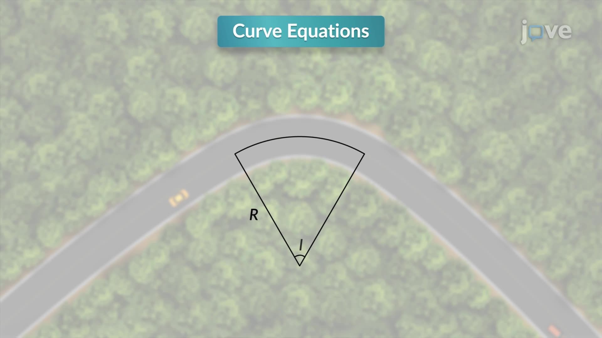
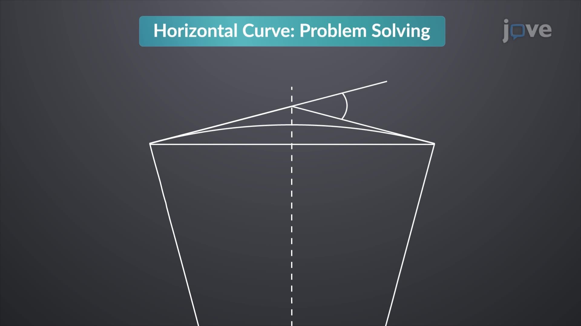
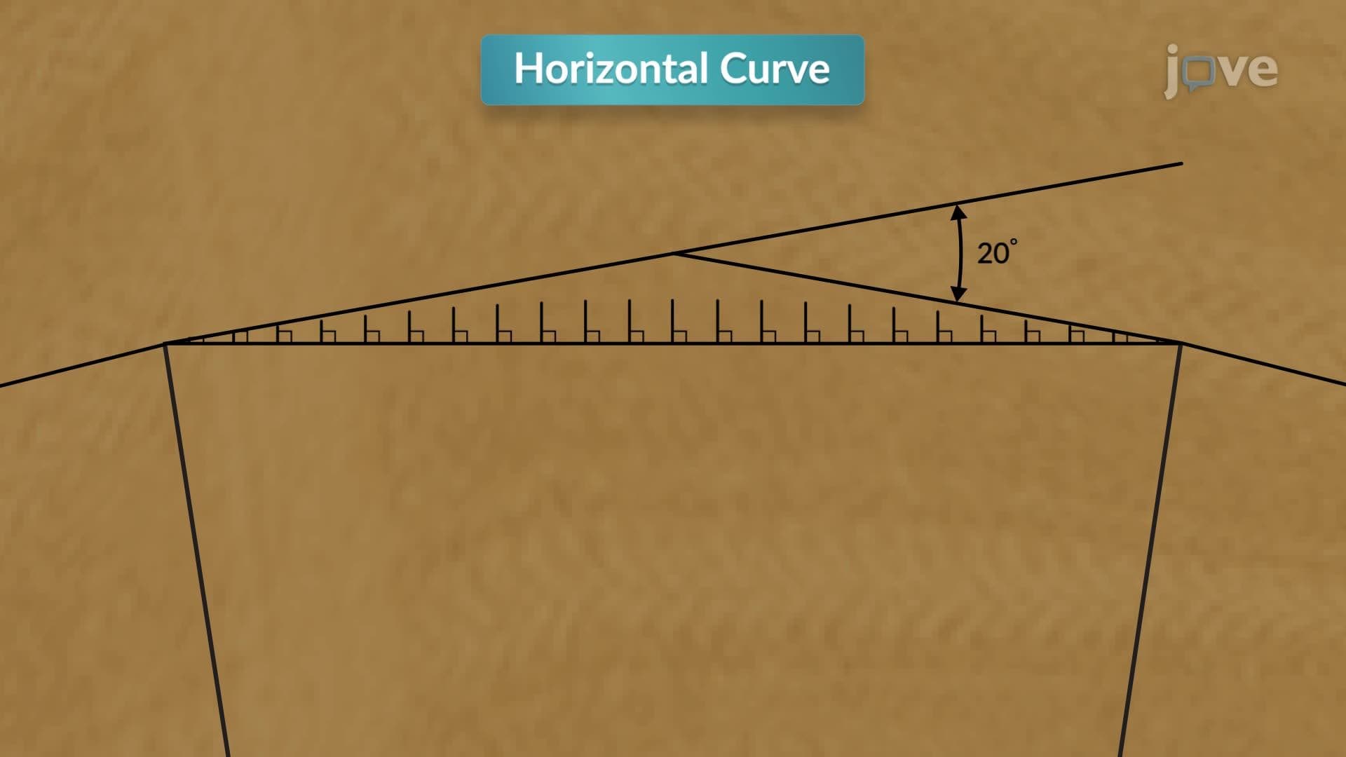
The relationship between curve radius, intersection angle, and chord length follows fundamental geometric principles. In this example, a 200-meter radius curve with a 20-degree intersection angle produces a long chord of 69.46 meters. This calculation uses the formula: Long Chord = 2R × sin(Δ/2), where R represents radius and Δ represents the intersection angle. Students preparing for the AP Calculus or Civil Engineering FE exam should recognize this as an application of trigonometric relationships in practical problem-solving.
Understanding global positioning system principles enhances this traditional approach by providing centimeter-level accuracy for curve layout. Modern GPS receivers can establish precise control points, reducing human error in measuring and marking procedures. However, the underlying geometric relationships remain unchanged, making traditional methods valuable for understanding fundamental concepts.
Field Application and Verification Procedures
The perpendicular offset method involves systematic measurement at regular intervals-in this case, every 3 meters along the long chord. Engineers calculate offset distances using the expression for perpendicular distance from chord to curve, then physically mark these points in the field. This hands-on approach helps students visualize abstract geometric concepts while learning practical surveying techniques.
Verification through middle ordinate calculations ensures accuracy before construction begins. The middle ordinate represents the maximum distance between the chord and curve, calculated as: Middle Ordinate = R × (1 - cos(Δ/2)). This verification step exemplifies engineering best practices: always check calculations through independent methods before implementation.
Modern Applications and Career Relevance
Today's civil engineers integrate traditional curve-setting knowledge with advanced technologies including global positioning system networks, total stations, and CAD software. Major infrastructure projects like California's high-speed rail system or the I-495 Express Lanes in Virginia require precise curve layout at unprecedented scales. Understanding both traditional methods and modern global positioning system applications positions students for success in civil engineering careers, whether in highway design, railway construction, or urban planning.
Students encountering this material in college-level surveying or highway engineering courses should connect these principles to broader transportation engineering concepts, including superelevation design, sight distance calculations, and vehicle dynamics-topics frequently tested on professional engineering licensing examinations.
Frequently Asked Questions
Design Example Setting A Curve Explained refers to the systematic process of physically laying out horizontal curves in the field using perpendicular offsets from a long chord. Civil engineers use this method because it provides reliable accuracy without requiring expensive equipment, making it ideal for smaller projects or areas where GPS signals may be unreliable. The technique transforms complex curve geometry into manageable straight-line measurements that field crews can execute with basic surveying tools.
Curve design problems frequently appear on AP Calculus BC exams as applications of trigonometric functions and parametric equations. College engineering students encounter these concepts in surveying, highway design, and engineering mathematics courses. The FE exam often includes problems requiring calculation of curve elements like chord length, middle ordinate, and tangent length. Understanding the practical applications helps students remember formulas and solve complex multi-step problems more effectively.
The global positioning system revolutionizes curve layout by providing centimeter-level positioning accuracy and eliminating cumulative measurement errors inherent in traditional chain surveying. Modern GPS receivers can establish precise control points and guide automated machine control systems during construction. However, engineers still need to understand traditional methods for areas with poor GPS reception, small-scale projects, or when verifying GPS-based layouts through independent calculations.
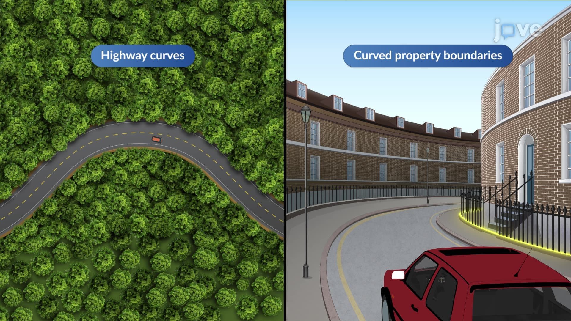
Engineers apply horizontal curve design extensively in highway construction, railroad projects, airport runway design, and residential subdivision layout. For example, the recent Interstate 11 construction between Las Vegas and Phoenix required hundreds of horizontal curves designed to accommodate desert terrain while maintaining safe speeds. Urban planners use similar principles for designing curved streets in residential neighborhoods, while airport engineers apply curve design for taxiway and runway connections.
The mathematical concepts are absolutely accessible to high school students with solid geometry and trigonometry foundations. The calculations primarily involve sine, cosine, and basic algebraic manipulation-topics covered in Algebra II and Precalculus. Students who can work with right triangles and understand radian measure will find curve design straightforward. The key is connecting abstract formulas to visual, real-world applications that make the mathematics meaningful and memorable.
Start by memorizing the fundamental relationships between radius, intersection angle, chord length, and middle ordinate. Practice working through complete problems from start to finish, including verification calculations. Create a formula sheet linking geometric terms to their practical meanings in field applications. For standardized exams, focus on unit conversions and significant figures, as these frequently cause avoidable errors. Work practice problems from multiple textbooks to see different approaches to similar concepts.
Curve design integrates with superelevation (banking) calculations, sight distance requirements, vehicle dynamics, and pavement design. Understanding horizontal curves leads naturally to studying vertical curves, spiral transitions, and intersection design. Transportation engineers must coordinate curve geometry with traffic signal timing, pedestrian crossings, and environmental impact considerations. These connections become important in upper-level courses like highway capacity analysis and transportation systems engineering.
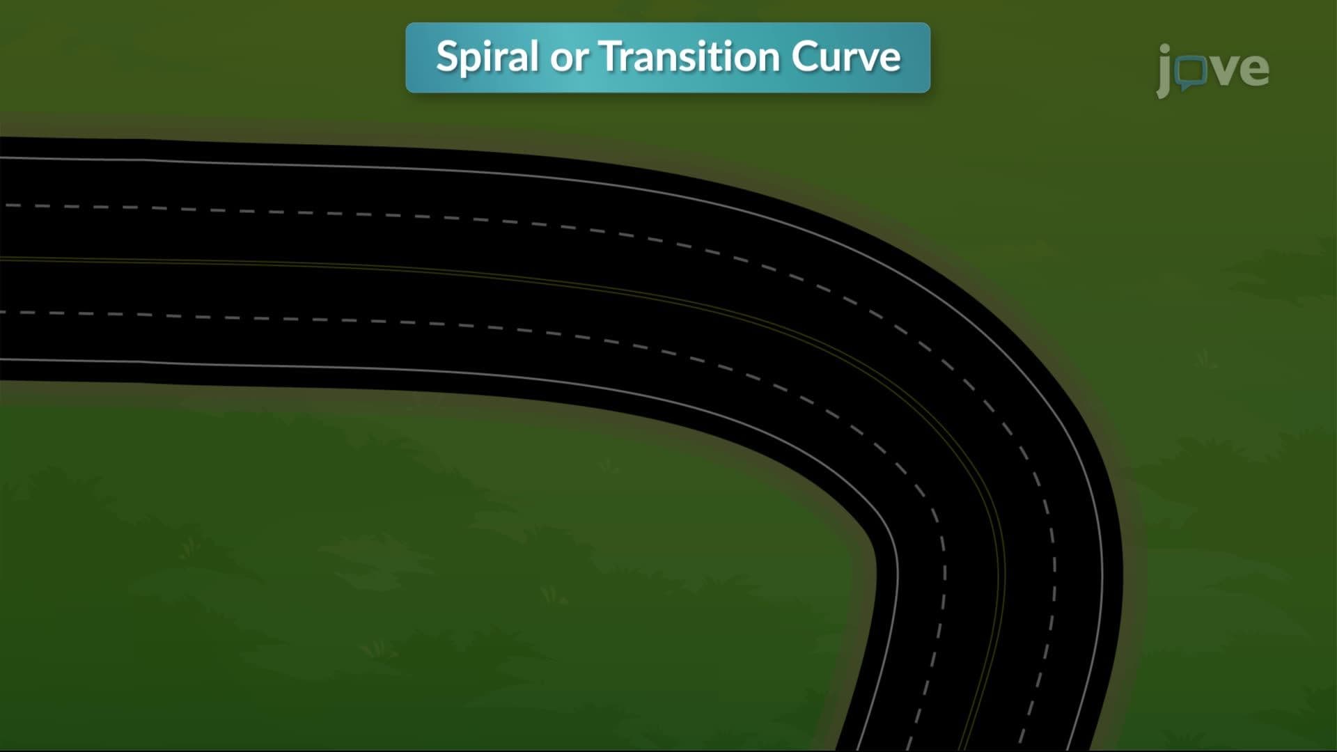
Advanced students should investigate spiral transition curves, which provide gradual curvature changes for high-speed highways. Vertical curve design presents similar mathematical principles applied to elevation changes rather than horizontal direction changes. Computer-aided design software like AutoCAD Civil 3D and MicroStation automate many calculations while requiring solid understanding of underlying principles. Geographic Information Systems (GIS) and advanced GPS applications represent cutting-edge developments in surveying and mapping technology.
Related Micro-courses

6 Concepts
9 Concepts

21 Concepts