Loading concepts…


21 Concepts
14 Concepts
11 Concepts
11 Concepts
16 Concepts
8 Concepts
18 Concepts
12 Concepts
6 Concepts
12 Concepts
6 Concepts
5 Concepts
6 Concepts
9 Concepts
8 Concepts
8 Concepts
7 Concepts
9 Concepts
10 Concepts
8 Concepts
13 Concepts
5 Concepts
11 Concepts
10 Concepts
7 Concepts
6 Concepts
9 Concepts
10 Concepts
6 Concepts
9 Concepts
 6 Concepts
 1.2K Views
 Popular topics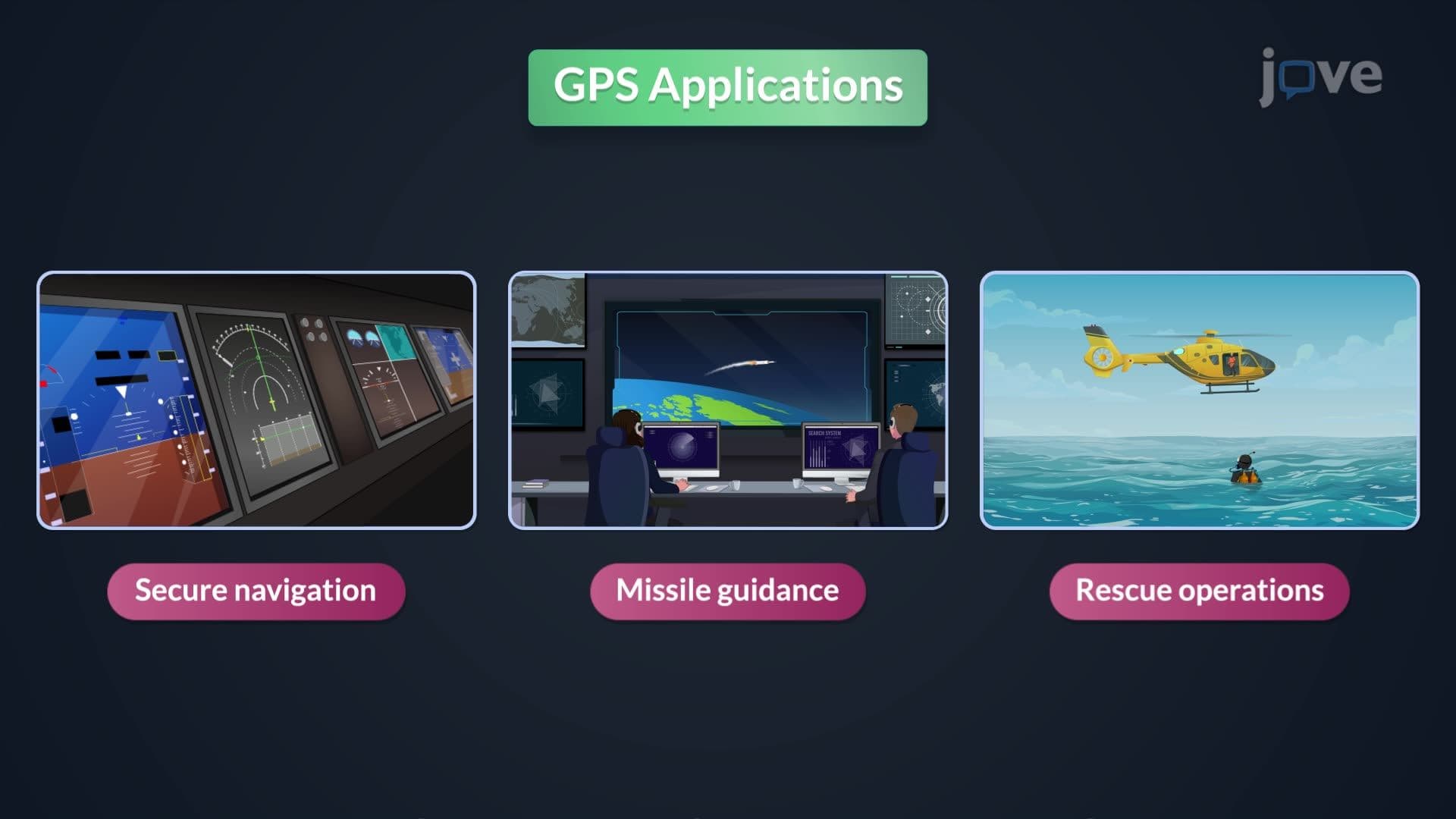

The Global Positioning System (GPS) represents one of the most significant technological advances in navigation and surveying, fundamentally transforming how we determine precise locations across the United States and globally. This comprehensive course explores GPS technology from its satellite constellation and signal processing to practical applications in surveying, construction, and emergency response. Students will master GPS principles, error correction methods, coordinate systems, and real-world implementation through the JoVE Coach platform, preparing them for careers in engineering, surveying, and geospatial sciences.
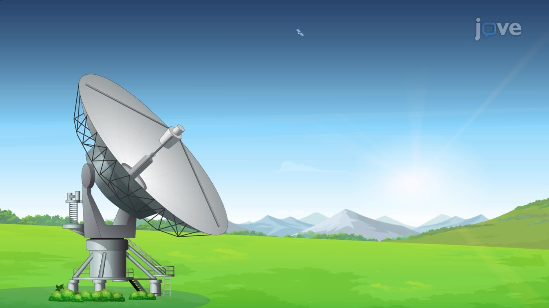
1. GPS System Architecture and Satellite Constellation The Global Positioning System operates through three interconnected segments working together to provide precise positioning. The space segment consists of 24 operational satellites plus backups orbiting at 20,200 kilometers altitude, maintained by the U.S. Space Force. The control segment includes six monitoring stations across the United States that track satellite positions and upload corrections for orbital drift caused by gravitational and solar forces. The user segment encompasses all GPS receivers, from smartphones to professional surveying equipment, which process signals from multiple satellites to calculate three-dimensional positions anywhere on Earth.
2. GPS Signal Processing and Triangulation Principles GPS positioning relies on measuring travel time of radio signals from satellites to receivers, converting this data into distance measurements. Receivers must acquire signals from at least four satellites to determine latitude, longitude, elevation, and precise time. The process involves complex calculations using the speed of light and atomic clock precision to achieve meter-level accuracy. Modern GPS receivers integrate signals from multiple satellite systems including GLONASS (Russia), Galileo (Europe), and BeiDou (China) to improve reliability and accuracy, especially in challenging environments like urban canyons or dense forests common in American cities.
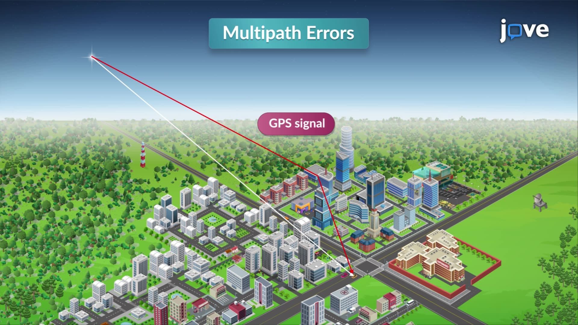
3. GPS Error Sources and Correction Methods GPS accuracy faces challenges from atmospheric interference, satellite clock errors, and signal reflection problems. Ionospheric and tropospheric delays occur as signals pass through charged particles and water vapor in Earth's atmosphere. Multipath errors result when GPS signals bounce off buildings, water surfaces, or terrain before reaching receivers. Professional surveying applications use differential correction techniques, where a base station at a known location calculates error corrections and transmits them to field receivers. This method, widely used by the U.S. Coast Guard and Department of Transportation, can improve accuracy from several meters to centimeters.
4. Earth Shape Models: Ellipsoid vs. Geoid Understanding GPS elevation measurements requires knowledge of Earth's complex shape representation. The ellipsoid model treats Earth as a smooth, mathematically-defined surface that approximates the planet's overall shape, with the World Geodetic System 1984 (WGS84) serving as GPS's reference. However, the geoid represents Earth's actual gravitational shape, closely matching mean sea level and varying by up to 100 meters globally due to mass distribution differences. U.S. surveyors must convert GPS ellipsoid heights to orthometric heights (elevation above mean sea level) using NOAA's geoid models, ensuring compatibility with traditional American surveying practices and flood zone mapping.
5. GPS Surveying Methods and Applications Professional GPS surveying employs three primary methods suited for different accuracy requirements and field conditions. Static GPS surveying places receivers at fixed points for extended periods, achieving centimeter-level accuracy essential for establishing survey control networks used in major U.S. infrastructure projects. Kinematic GPS collects position data while moving, supporting applications like mapping coastal erosion along American shorelines or tracking construction equipment. Real-time kinematic (RTK) GPS provides instant centimeter-level positioning through radio or cellular corrections, revolutionizing construction layout and precision agriculture across the United States. Each method requires careful planning considering satellite geometry, atmospheric conditions, and Position Dilution of Precision (PDOP) values.