Loading concepts…


21 Concepts
14 Concepts
11 Concepts
11 Concepts
16 Concepts
8 Concepts
18 Concepts
12 Concepts
6 Concepts
12 Concepts
6 Concepts
5 Concepts
6 Concepts
9 Concepts
8 Concepts
8 Concepts
7 Concepts
9 Concepts
10 Concepts
8 Concepts
13 Concepts
5 Concepts
11 Concepts
10 Concepts
7 Concepts
6 Concepts
9 Concepts
10 Concepts
6 Concepts
9 Concepts
 6 Concepts
 2.8K Views
 Popular topics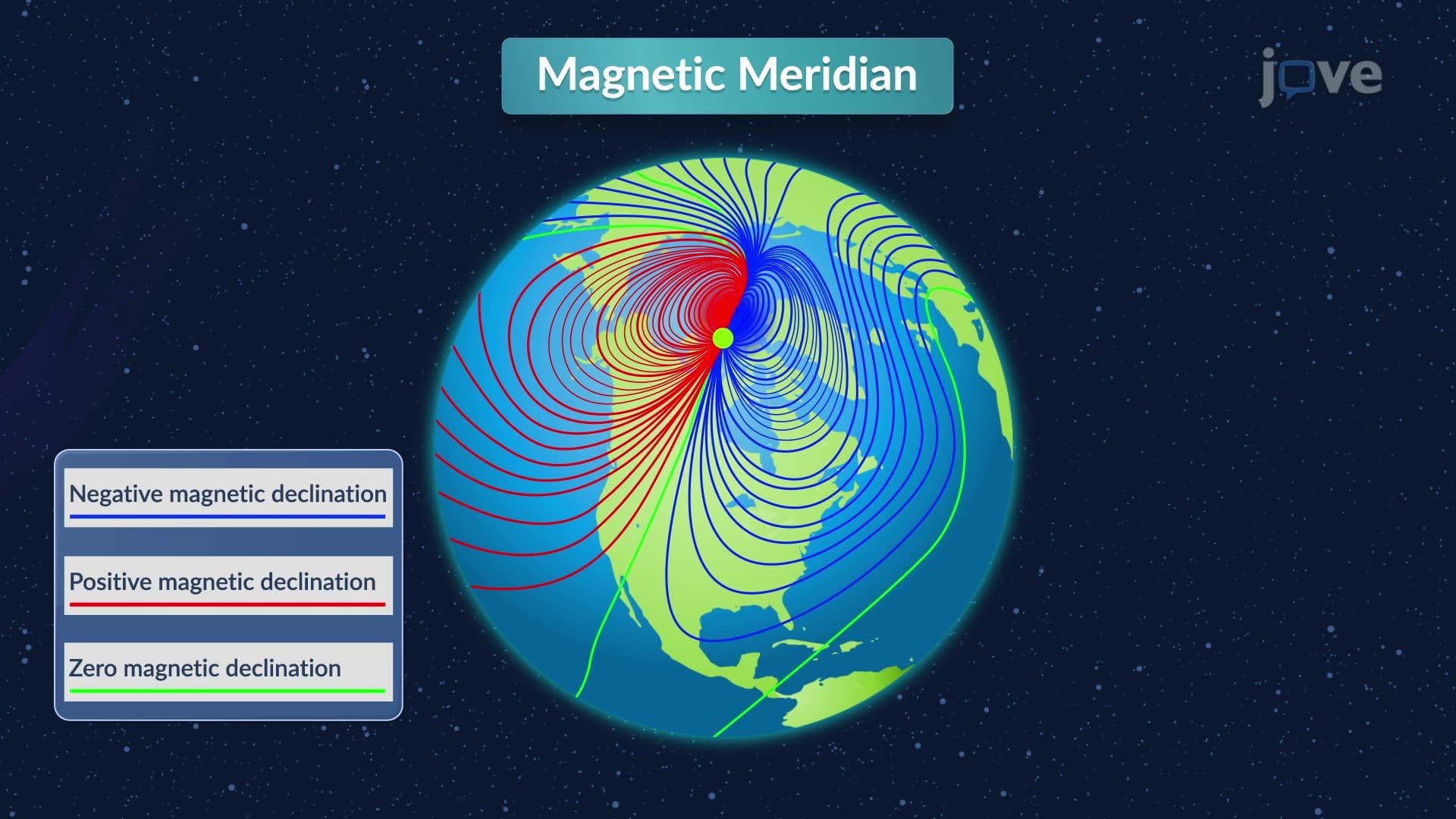

Understanding angles and directions is fundamental to surveying and navigation across the United States. This comprehensive course covers meridian systems, bearing azimuth surveying concepts, compass operations, and angular measurement in surveying applications. Students explore how surveyors establish reference lines, calculate directional measurements, and account for magnetic variations that affect precision in land surveying projects from California's Central Valley to Florida's Everglades, with JoVE Coach guidance throughout.
1. Meridian Reference Systems Meridians serve as essential reference lines for directional measurements in US surveying projects. Astronomic meridians align with Earth's rotational axis, providing consistent reference points for large-scale surveys like the Public Land Survey System used across western states. Magnetic meridians follow compass needle orientation but vary with location and time. Assumed meridians use arbitrary directions for local projects, while grid meridians create parallel reference systems for regional mapping. Understanding these systems helps surveyors choose appropriate references for projects ranging from small residential lots in suburban Denver to extensive ranch surveys across Montana's plains.
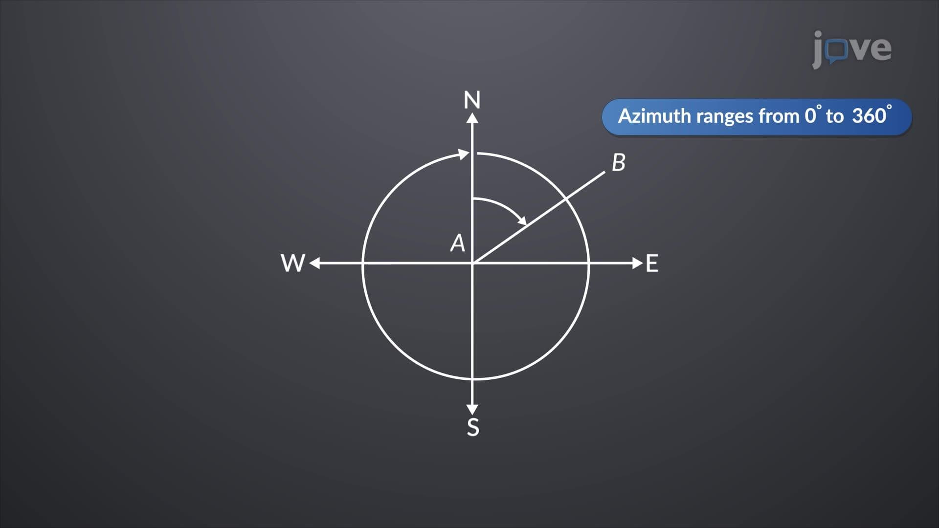
2. Azimuth and Bearing Calculations Azimuth measurements represent clockwise angles from north, ranging from 0° to 360°, commonly used in modern surveying equipment and GPS systems. Bearings express direction using quadrant notation with angles never exceeding 90°, traditional in property deed descriptions throughout rural America. Converting between systems requires understanding directional relationships: a line with azimuth 055° equals bearing N55°E. Back azimuths differ by exactly 180° from forward measurements, critical for verifying survey accuracy. These concepts apply directly to property boundary surveys, highway construction projects, and municipal infrastructure development across US communities.
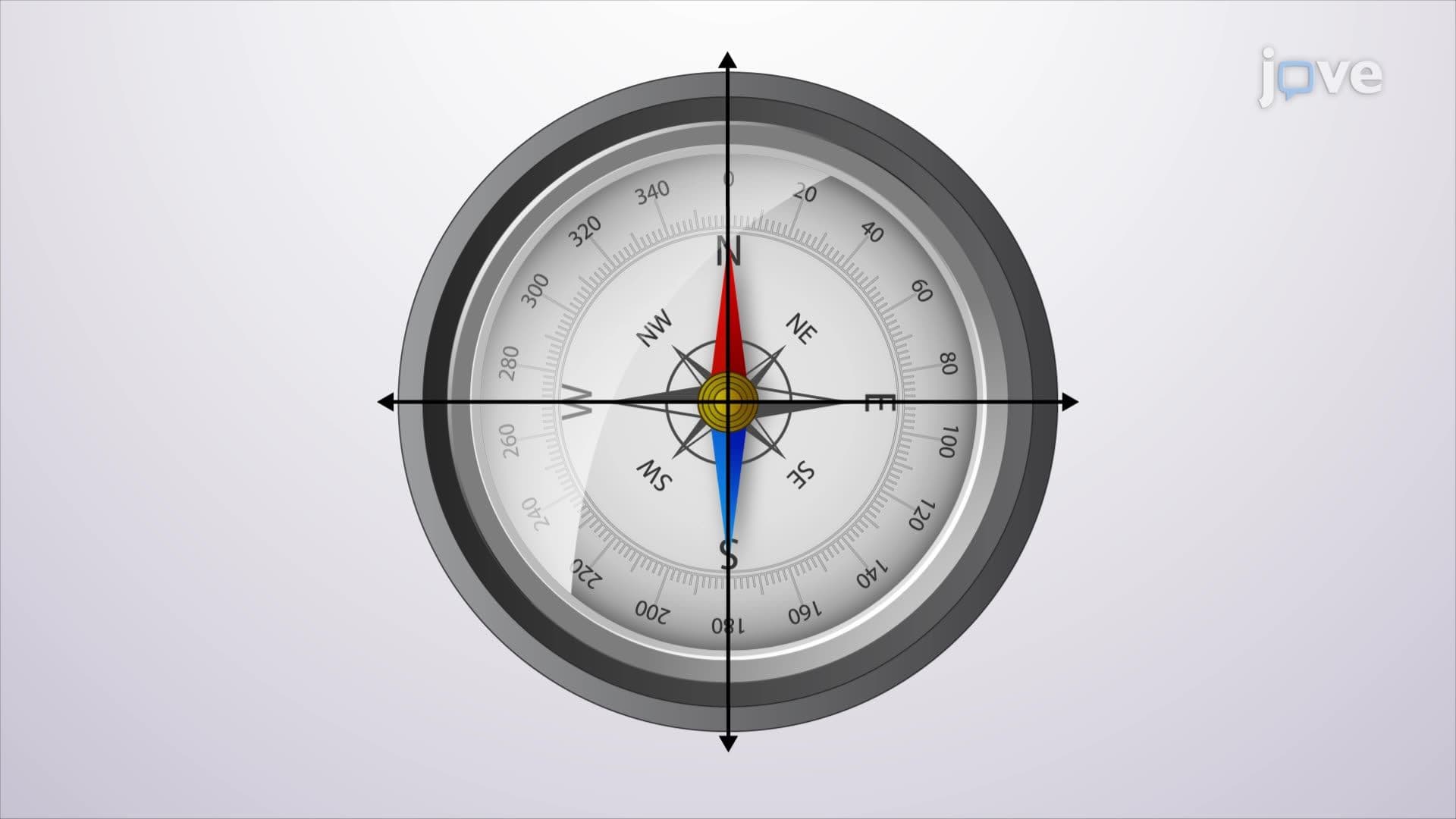
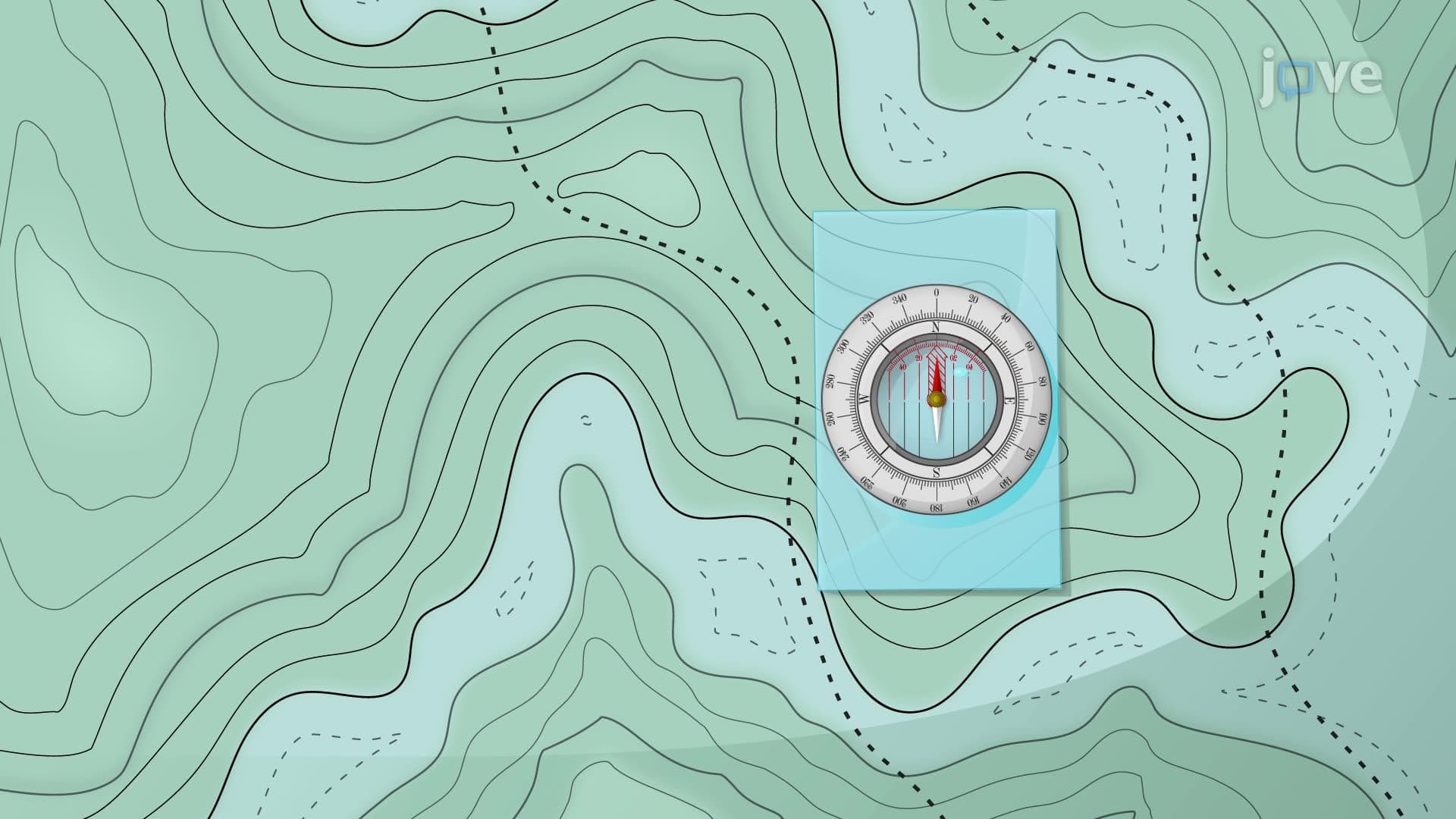
3. Compass Operations and Magnetic Navigation The surveyor's compass historically guided American westward expansion and remains relevant for understanding magnetic navigation principles. Earth's magnetic field, generated by liquid outer core currents, creates magnetic north distinct from true north. Compass needles require careful balancing and protection from interference to maintain accuracy. Modern applications include backup navigation systems, preliminary survey reconnaissance, and educational demonstrations of magnetic principles. Understanding compass limitations helps students appreciate GPS technology advantages while recognizing magnetic navigation's continued importance in emergency situations and remote area exploration throughout American wilderness regions.
4. Magnetic Declination Variations Magnetic declination represents angular difference between true north and magnetic north, varying significantly across the United States. Western regions like Washington State experience eastern declination up to 20°, while eastern areas like Maine show western declination. This variation affects compass accuracy and requires correction calculations for precise surveying work. Secular variation causes declination changes over 150-year cycles, necessitating updated declination values for legal survey work. Annual and daily variations exist but typically remain negligible for most applications. Online declination calculators provide current values essential for updating historical survey records and conducting accurate fieldwork.
5. Local Attraction Detection and Correction Local attraction occurs when nearby magnetic objects distort compass readings, creating measurement errors in surveying projects. Common sources include steel construction materials in urban environments, underground utilities, vehicles, and natural iron ore deposits found throughout regions like Minnesota's Iron Range. Detection involves comparing forward and back bearings of survey lines-differences exceeding normal 180° variance indicate magnetic interference. Correction requires identifying contaminated observation points and relocating measurements to magnetically clean areas. This principle ensures reliable compass surveys essential for property boundary determination, construction layout, and navigation applications throughout diverse American landscapes.