Loading concepts…


21 Concepts
14 Concepts
11 Concepts
11 Concepts
16 Concepts
8 Concepts
18 Concepts
12 Concepts
6 Concepts
12 Concepts
6 Concepts
5 Concepts
6 Concepts
9 Concepts
8 Concepts
8 Concepts
7 Concepts
9 Concepts
10 Concepts
8 Concepts
13 Concepts
5 Concepts
11 Concepts
10 Concepts
7 Concepts
6 Concepts
9 Concepts
10 Concepts
6 Concepts
9 Concepts
 7 Concepts
 2.8K Views
 Popular topics

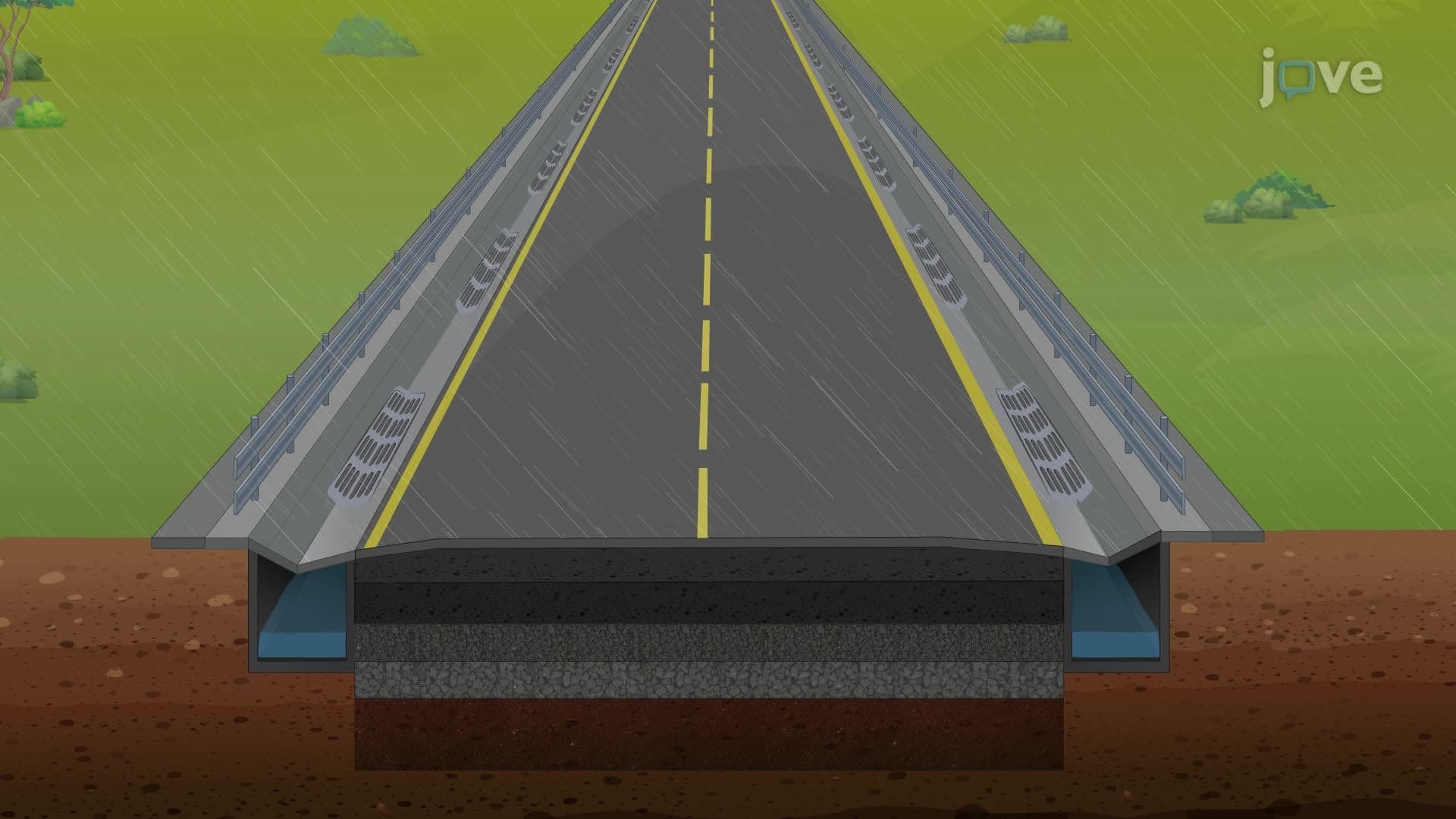
Leveling is a fundamental surveying technique used to determine elevation differences between points on Earth's surface relative to mean sea level. This comprehensive course covers differential leveling elevation measurements, benchmark establishment, and the principles and methods of surveying leveling. Students will master spirit level operations, profile leveling, and real-world applications essential for civil engineering projects across the United States, with JoVE Coach providing expert guidance throughout.
1. Fundamental Leveling Methods and Applications Leveling determines elevation differences using three primary approaches. Trigonometric leveling calculates elevations using horizontal distances and vertical angles, commonly applied in mountainous terrain across states like Colorado and Montana. Barometric leveling utilizes air pressure differences measured by multiple altimeters, useful for preliminary surveys in remote areas. Spirit leveling, the most precise method, uses horizontal sight lines and vertical measurements. These techniques are essential for infrastructure projects including the Interstate Highway System, where precise elevation control ensures proper drainage and structural integrity across diverse American landscapes.
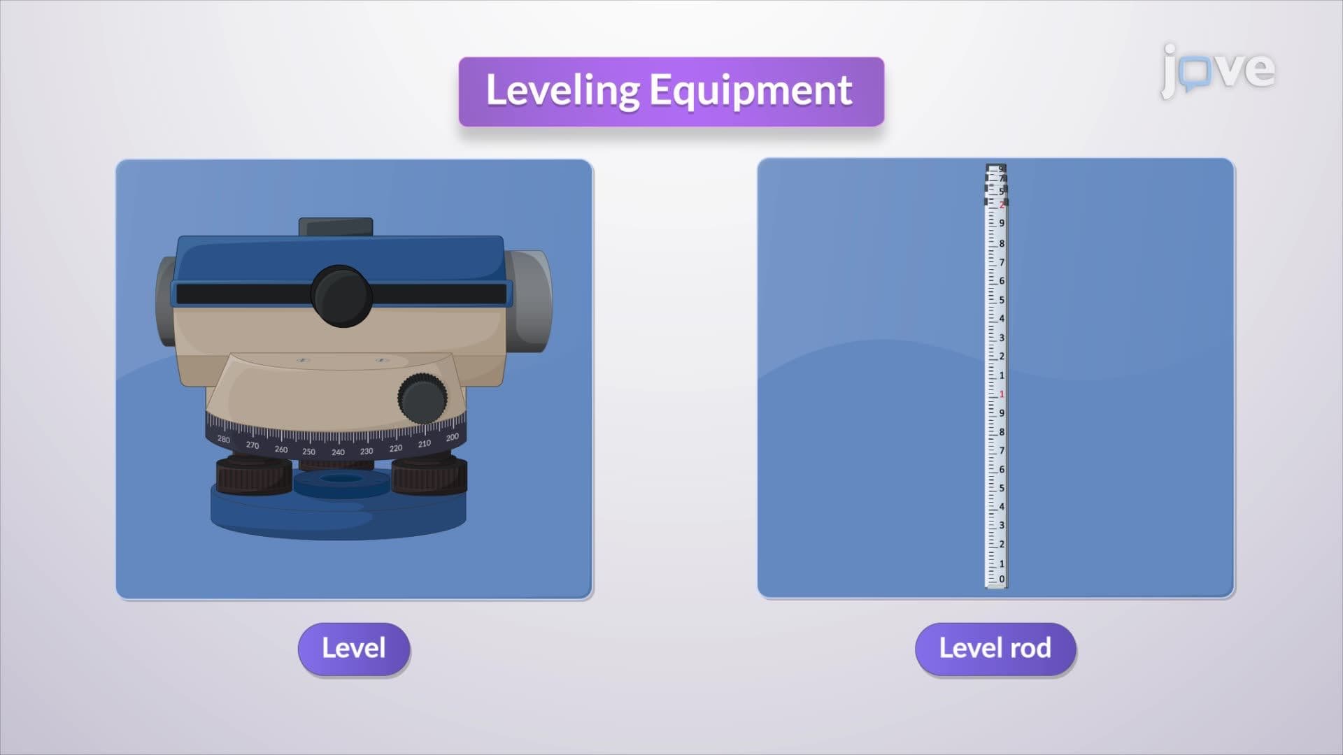
2. Professional Leveling Equipment and Technology Modern leveling relies on sophisticated instruments including automatic levels and electronic digital levels. Automatic levels use suspended compensators for precise horizontal positioning, eliminating manual adjustment errors common in traditional spirit levels. Electronic digital levels read bar-coded level rods automatically, reducing human error and increasing efficiency. Level rods, constructed from fiberglass or aluminum, feature graduated markings in feet and decimal subdivisions standard in U.S. surveying practice. These tools are crucial for projects like the California High-Speed Rail, where millimeter-level accuracy ensures safe operation at high speeds.
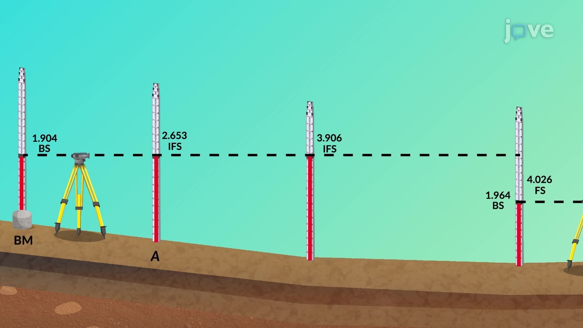
3. Differential Leveling Procedures and Benchmark Systems Differential leveling establishes elevation differences through systematic backsight and foresight measurements. Surveyors begin at established benchmarks-permanent reference points with known elevations maintained by the National Geodetic Survey. The process involves calculating instrument height from backsight readings, then determining point elevations through foresight measurements. This method creates elevation networks supporting major construction projects like the New York City subway system, where precise vertical control ensures proper tunnel gradients and station accessibility compliance with Americans with Disabilities Act requirements.
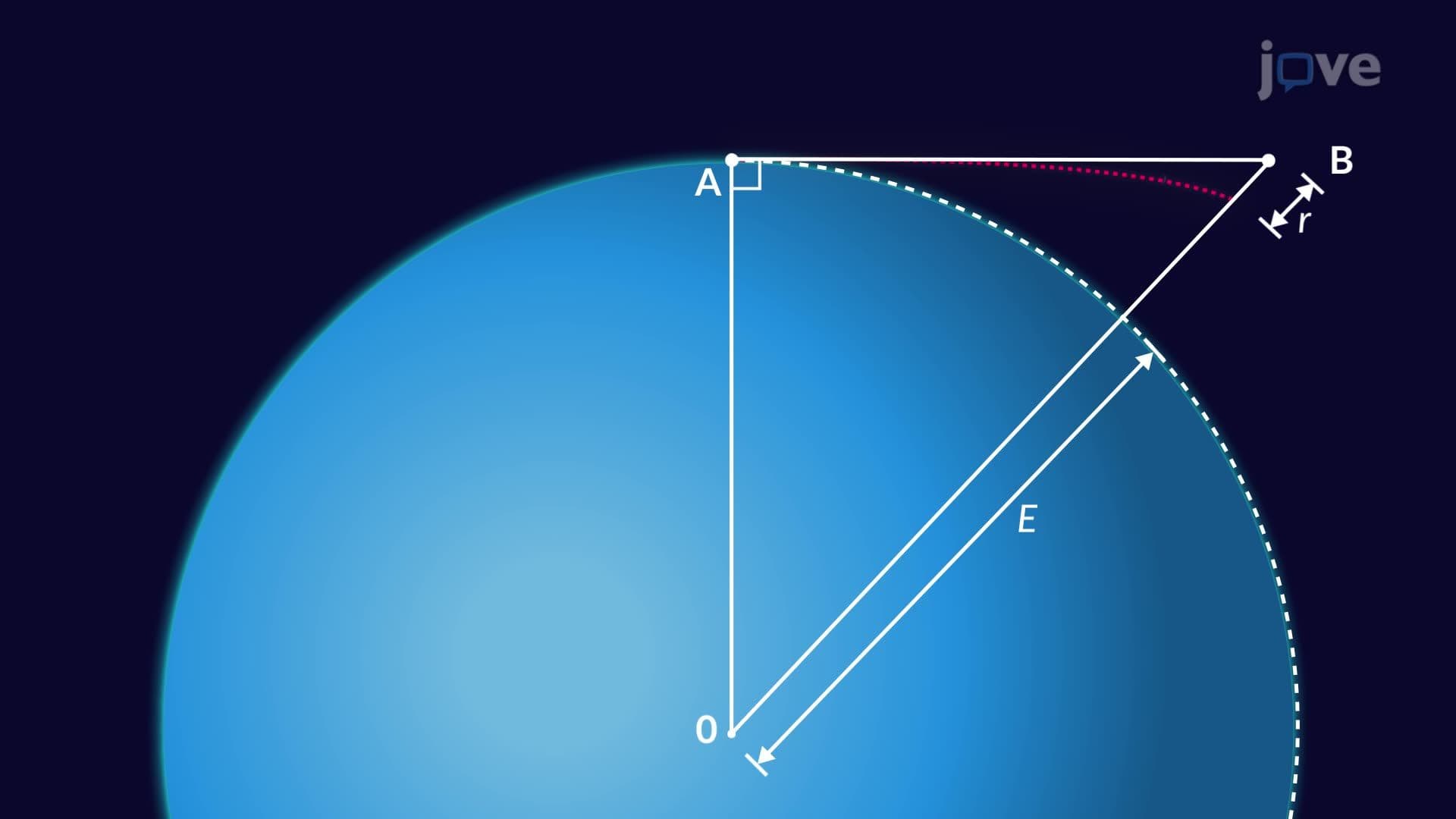
4. Earth Curvature and Atmospheric Effects Earth's spherical shape introduces systematic errors in leveling measurements, with curvature causing 0.0785-meter deviation per kilometer of sight distance. Atmospheric refraction compounds this effect by bending sight lines downward approximately 0.011 meters per kilometer. Combined effects total roughly 0.0675 meters per kilometer, varying with distance squared. These corrections are critical for long-distance surveys like those supporting the Trans-Alaska Pipeline, where elevation accuracy affects flow rates and pump station placement across 800 miles of challenging terrain.
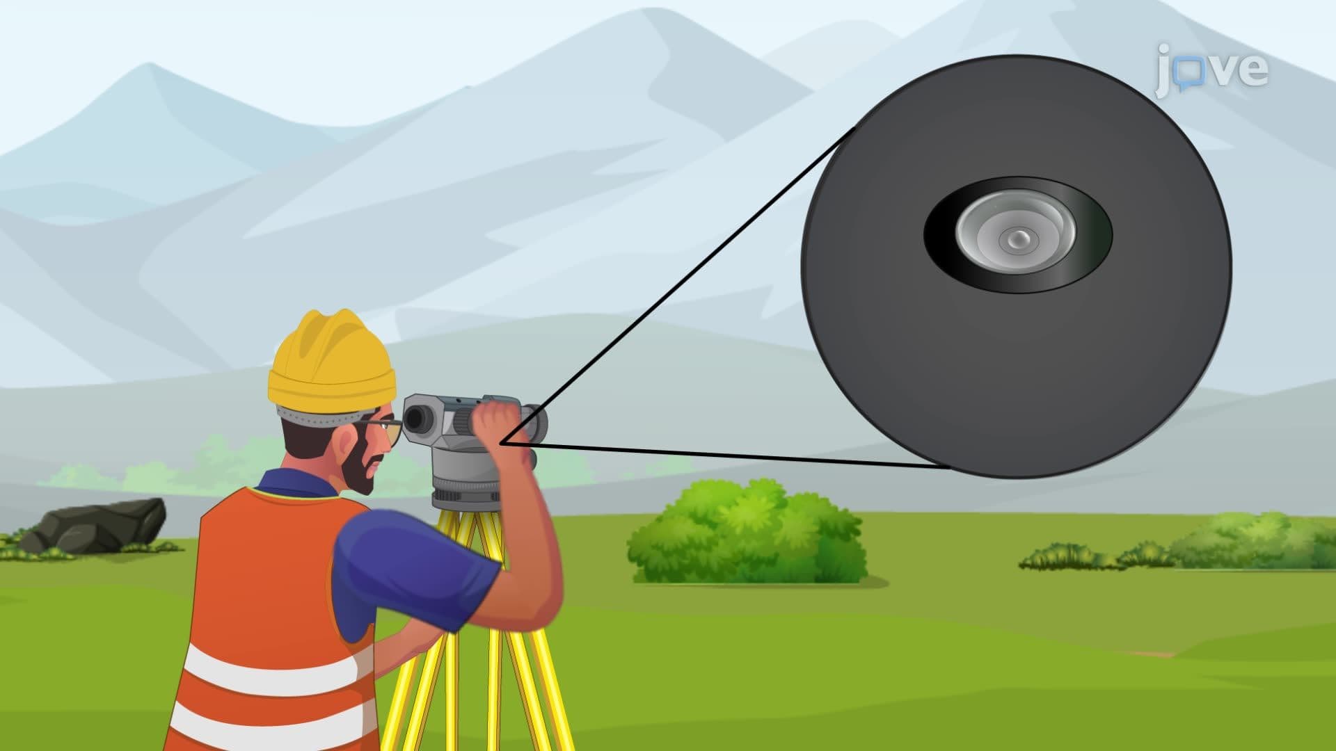
5. Error Prevention and Quality Control Leveling accuracy depends on proper instrument setup, rod handling, and measurement procedures. Common mistakes include obstructed sight lines, incorrect turning point identification, and rod reading errors. Prevention strategies include equal backsight and foresight distances, vertical rod positioning using circular bubble levels, and systematic field note verification. Quality control measures ensure projects like the Hoover Dam construction maintain structural integrity through precise elevation control. Modern GPS integration provides additional checks, though traditional leveling remains the standard for high-precision vertical measurements in American construction practice.
6. Profile Leveling and Cross-Section Analysis Profile leveling maps elevation changes along predetermined routes, essential for highway and railroad design meeting Federal Highway Administration standards. Surveyors establish continuous elevation profiles by taking intermediate foresights at regular stations, capturing critical terrain features like drainage patterns and slope changes. Cross-sectioning perpendicular to centerlines reveals ground conditions affecting earthwork quantities and construction costs. These techniques guided the Interstate Highway System development, ensuring optimal grades for vehicle safety while minimizing environmental impact across varied American topography from Florida swamplands to Rocky Mountain passes.