21 Concepts
14 Concepts
11 Concepts
11 Concepts
16 Concepts
8 Concepts
18 Concepts
12 Concepts
6 Concepts
12 Concepts
6 Concepts
5 Concepts
6 Concepts
9 Concepts
8 Concepts
8 Concepts
7 Concepts
9 Concepts
10 Concepts
8 Concepts
13 Concepts
5 Concepts
11 Concepts
10 Concepts
7 Concepts
6 Concepts
9 Concepts
10 Concepts
6 Concepts
9 Concepts
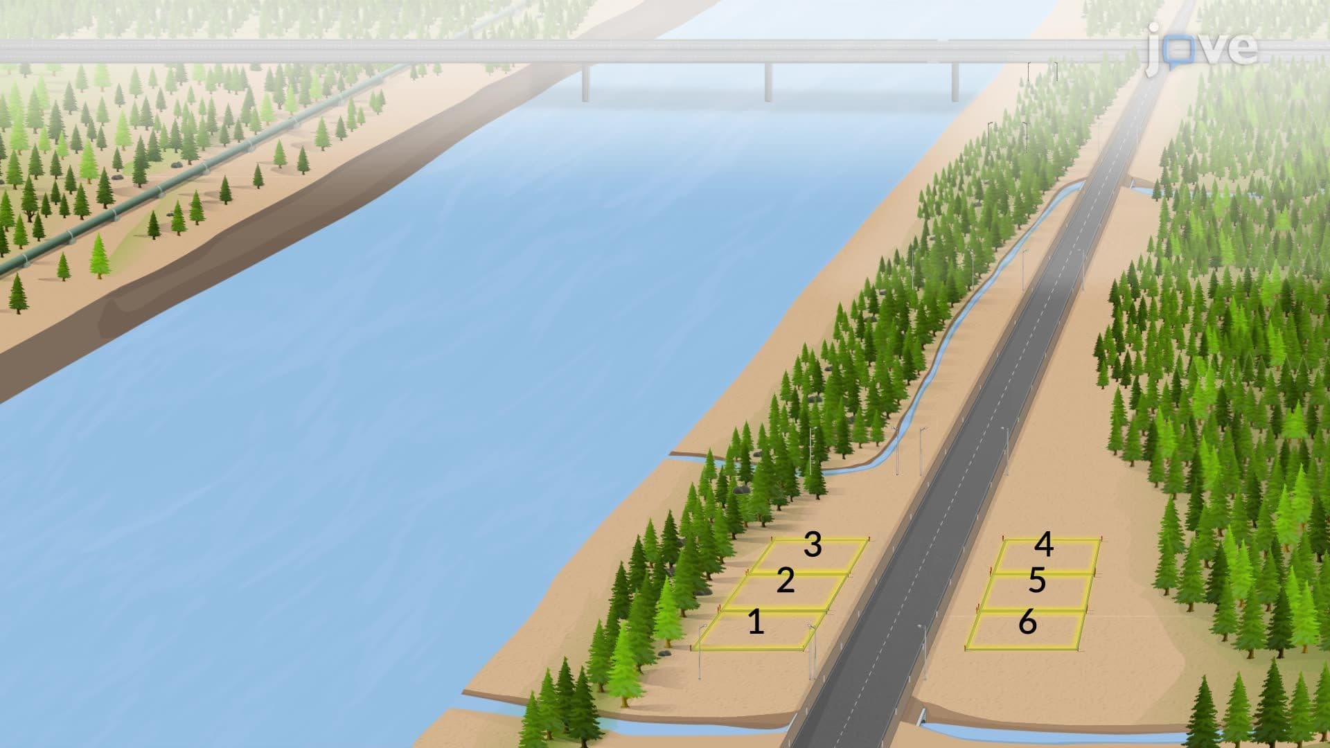
This introduction to surveying covers essential land survey basics and distance measurement techniques used across the United States. Students explore both plane and geodetic surveying methods, from measuring property boundaries in residential developments to large-scale projects like interstate highway construction. The course examines traditional chain tape survey methods alongside modern electronic instruments, providing comprehensive surveying fundamentals through practical applications. JoVE Coach enhances learning with interactive demonstrations of real-world surveying scenarios.
1. Plane vs. Geodetic Surveying Methods - Plane surveys treat the Earth as flat and work well for small areas like residential subdivisions, shopping centers, and local road projects across American communities. These surveys assume north-south lines remain parallel, making calculations simpler for construction projects under 10 square miles. Geodetic surveys account for Earth's curvature and are essential for large-scale projects like establishing state boundaries, mapping national parks such as Yellowstone, or surveying interstate highway systems that span multiple states.
2. Survey Classification and Applications - Land surveys establish property boundaries for real estate transactions throughout American suburbs and rural areas. Route surveys plan transportation corridors for projects like California's high-speed rail or pipeline installations across Texas. Topographic surveys create detailed maps showing elevation changes for developments in hilly regions like San Francisco or Denver. Construction surveys provide precise positioning for major projects like building bridges over the Mississippi River or constructing skyscrapers in downtown Chicago.
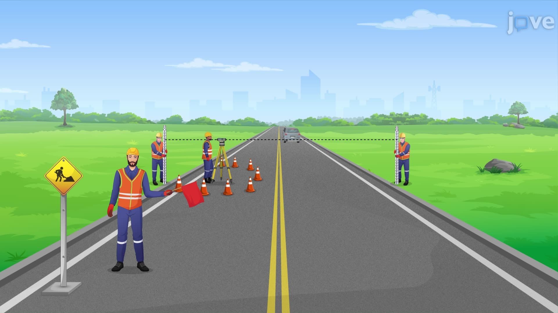
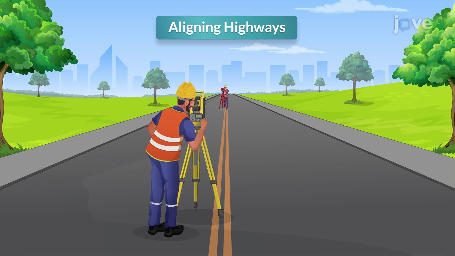
3. Essential Safety Protocols and Equipment - Highway surveying requires orange reflective vests, hard hats, and safety protocols when working near interstate traffic or busy state routes. Surveyors must use warning signs and flaggers when measuring along roads like Interstate 95 or Route 66. Personal protective equipment includes steel-toed boots for construction zones, snake-proof leggings in southern states like Florida and Louisiana, and insect repellent in tick-prone areas of the Northeast. Emergency kits contain antidotes for bee stings and first-aid supplies for remote locations.
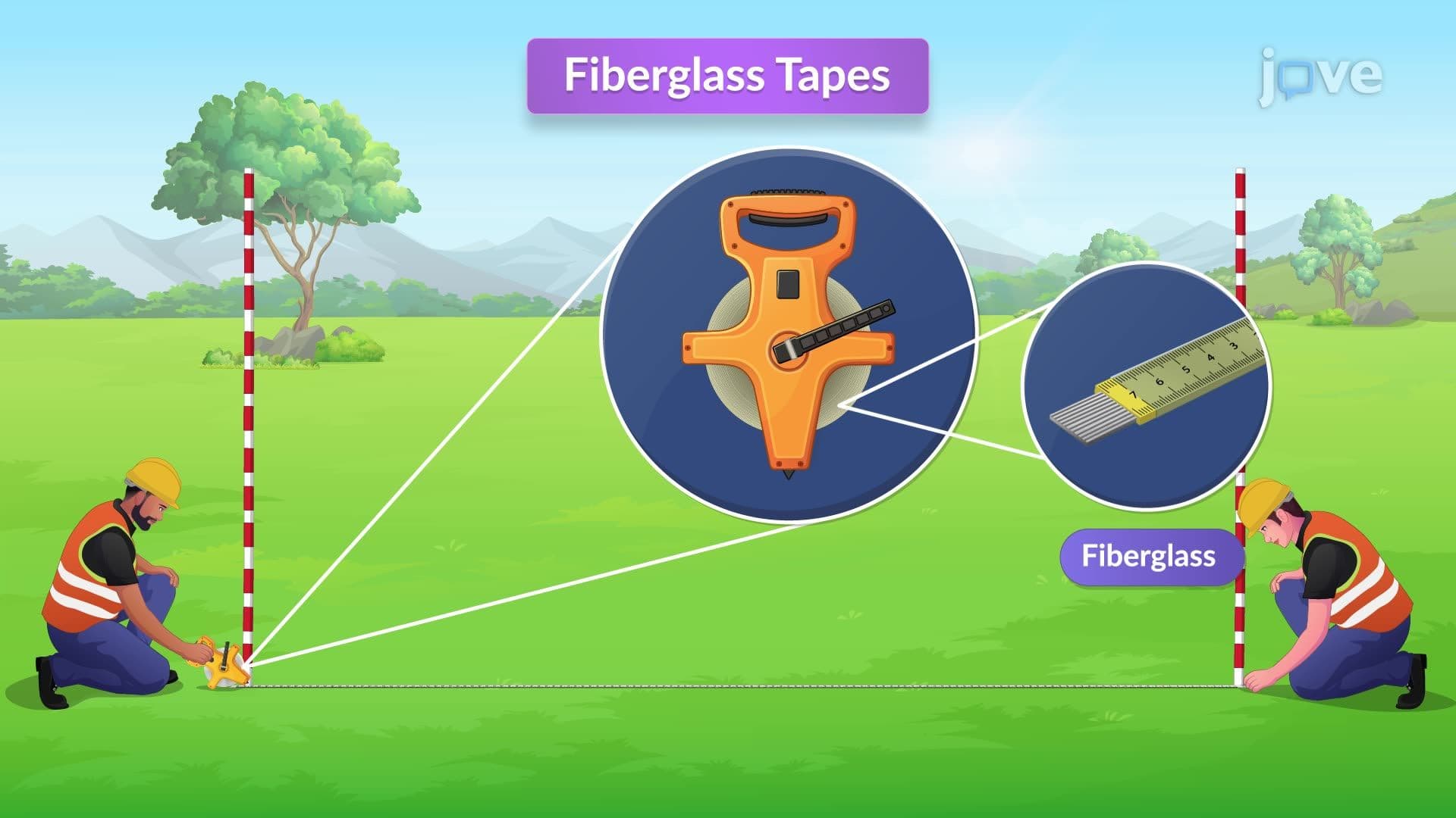
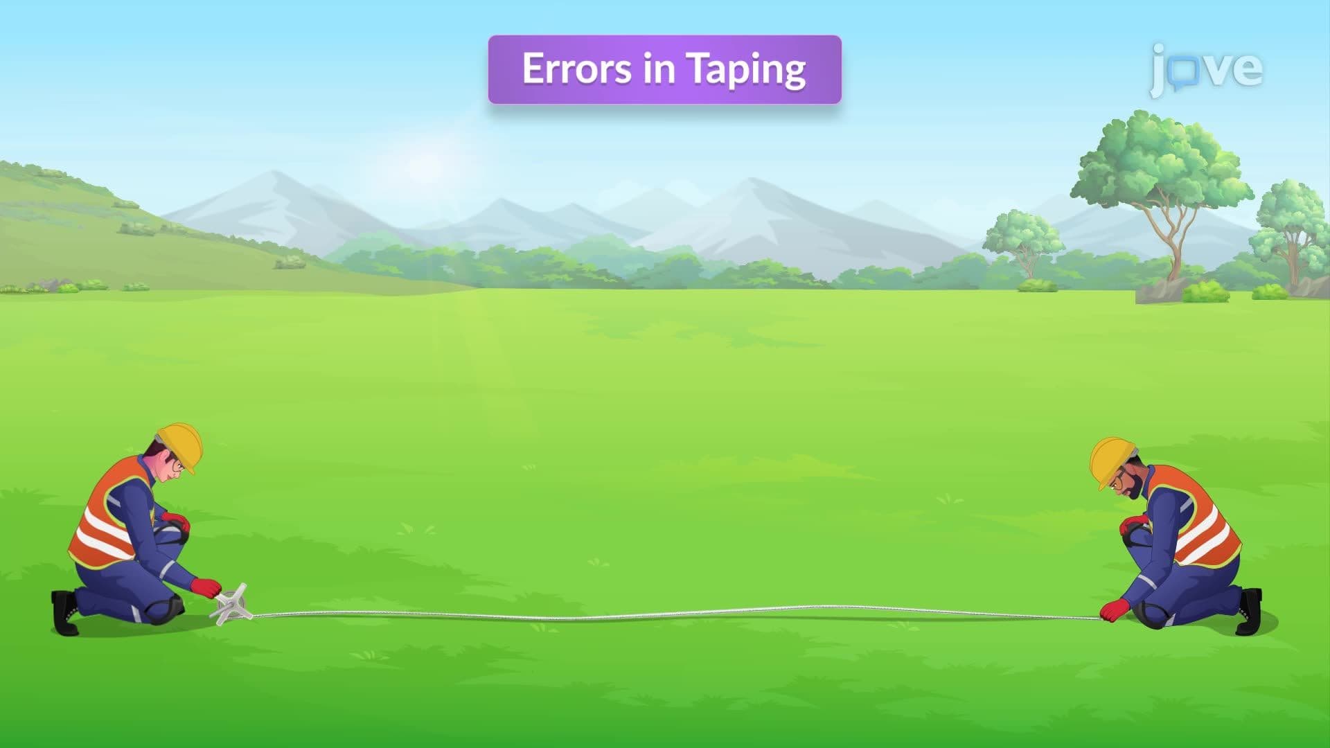
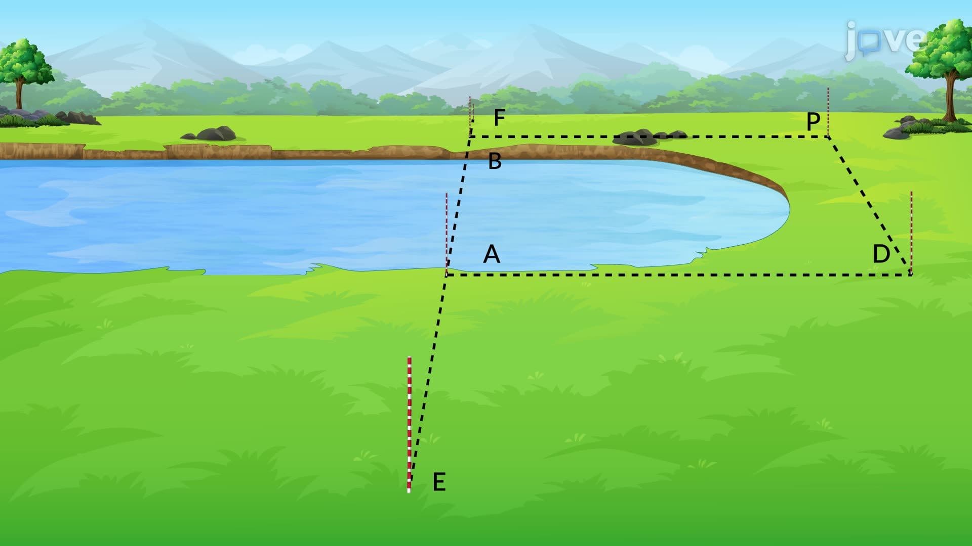
4. Distance Measurement Using Steel Tapes - Steel tape measurements involve teams of two people working systematically across various terrains found in American landscapes, from flat Midwest farmland to Rocky Mountain slopes. The 30-meter standard length provides metric precision while accommodating typical property dimensions in suburban developments. Taping procedures include breaking tape methods for downhill slopes, maintaining horizontal positioning with plumb bobs, and using range poles for alignment across long distances like measuring agricultural fields in Iowa or Kansas.
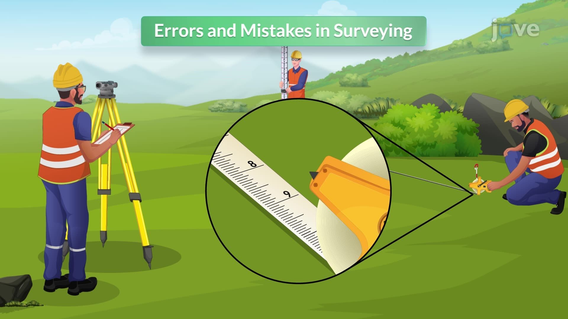
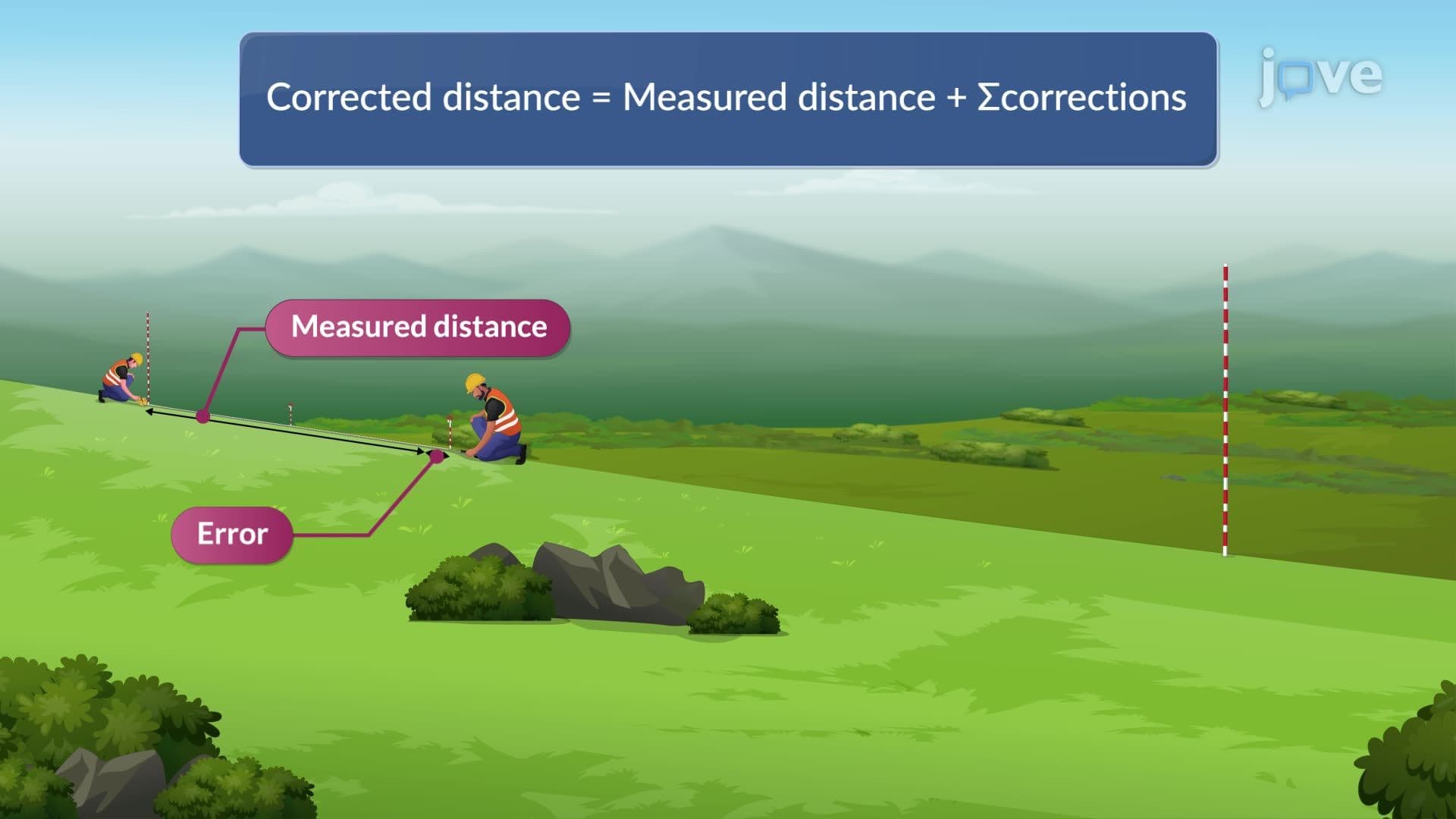
5. Corrections and Error Analysis - Temperature corrections account for steel tape expansion during hot summer days in Arizona or contraction during Minnesota winters, using thermal expansion coefficients. Slope corrections convert measured distances along hillsides to true horizontal distances needed for property deeds and construction plans. Standardization corrections compensate for equipment wear or damage by comparing tape readings against known standards maintained by the National Institute of Standards and Technology. Human errors include misreading numbers or improper pin placement.
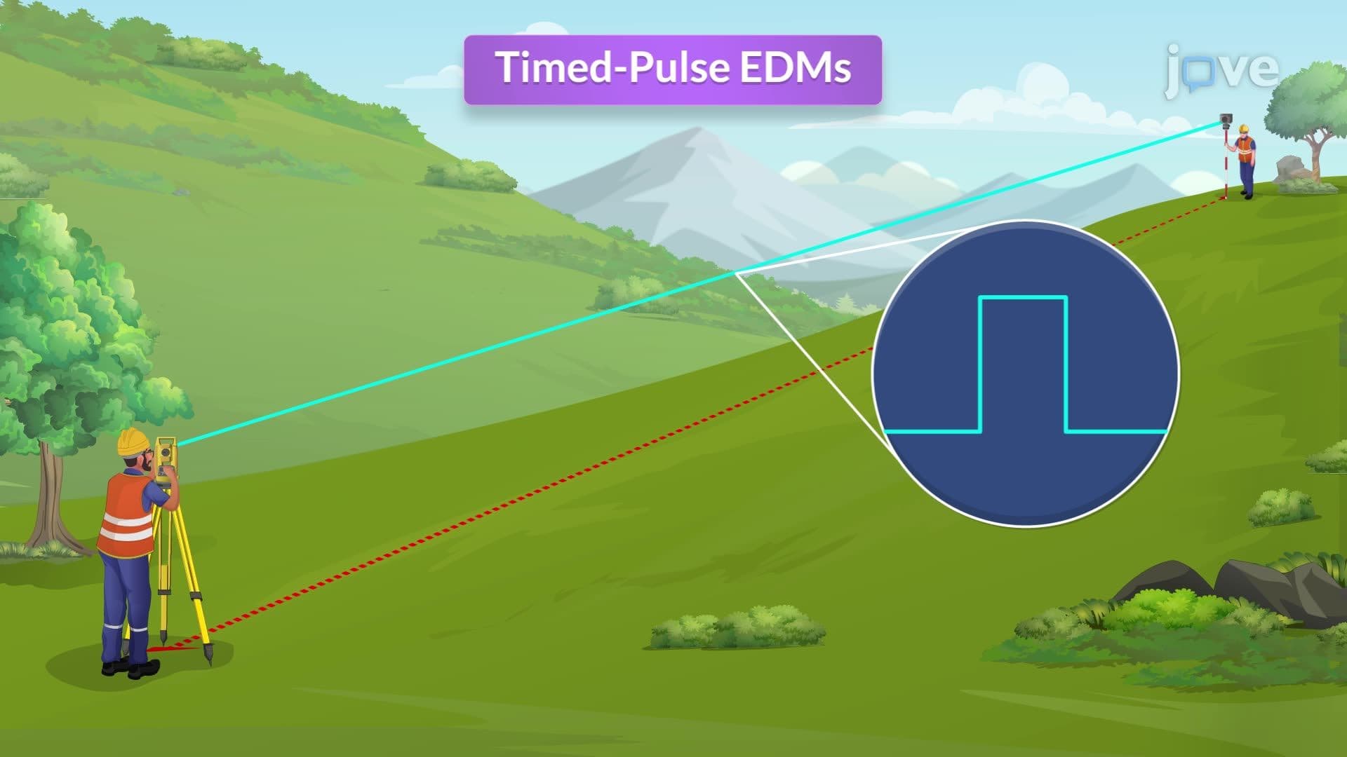
6. Electronic Distance Measuring (EDM) Technology - Modern EDM instruments use laser or infrared signals for precise measurements across challenging terrain like the Grand Canyon or Chesapeake Bay. Microwave-based systems penetrate fog and rain, making them suitable for surveying in Pacific Northwest weather conditions or Gulf Coast humidity. Phase shift methods provide high accuracy for shorter distances typical of urban development projects, while timed-pulse systems handle long-range measurements needed for surveying large ranches in Texas or Montana wilderness areas.