Loading subject page…


2,457 views

Video Summary: What are Types of Surveys
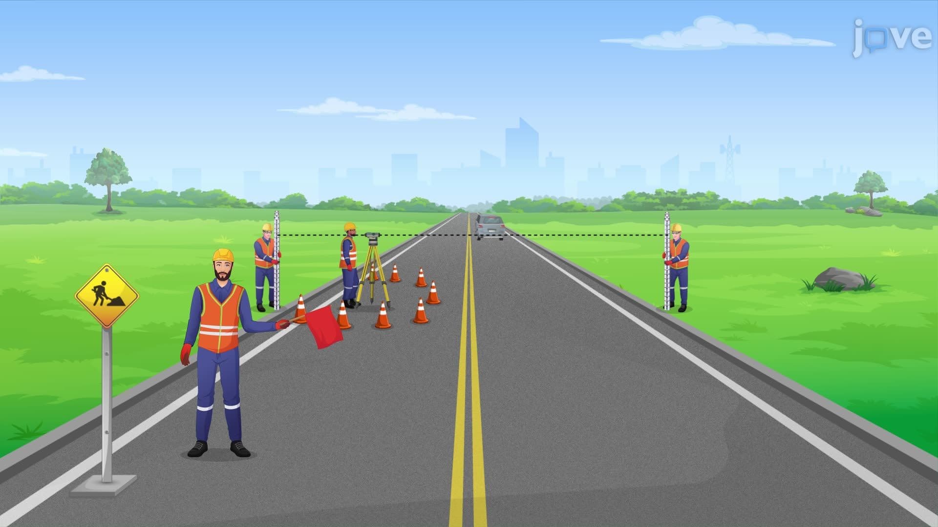
Did you know that before the Golden Gate Bridge was built, engineers needed seven different types of surveys to ensure safe construction over San Francisco Bay? Survey safety protocols are critical when conducting land surveys, route surveys, topographic surveys, hydrographic surveys, mine surveys, control surveys, and construction surveys. Each type serves a specific purpose in mapping and measuring our environment safely. Watch the full video on JoVE Coach to master this concept with expert-led visuals and step-by-step explanations.
Professional surveying encompasses seven distinct categories, each designed for specific measurement and mapping purposes. These survey types form the foundation of civil engineering, construction, and land development projects across the United States. From determining property lines to planning major infrastructure projects like interstate highways, understanding these survey classifications is essential for anyone pursuing careers in engineering, construction management, or urban planning.
Land surveys establish precise property boundaries and are legally required for real estate transactions in all 50 states. Professional land surveyors use advanced GPS technology and traditional instruments to create detailed maps showing property lines, easements, and encroachments. These surveys are essential for title insurance and property disputes.
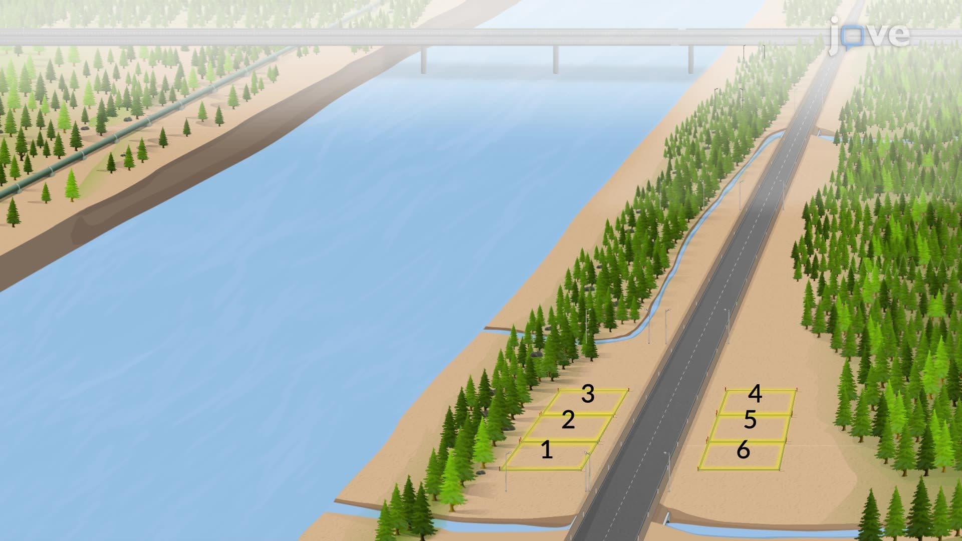
Route surveys serve transportation and utility planning by determining optimal paths for highways, railways, and pipelines. The Federal Highway Administration requires route surveys for all interstate projects, ensuring minimal environmental impact while maximizing efficiency. For example, the recent expansion of Interstate 405 in California required extensive route surveys to navigate through densely populated areas while avoiding sensitive ecosystems.
Topographic surveys create detailed three-dimensional maps showing elevation changes, natural features, and existing structures. These surveys are crucial for flood plain management and are required by FEMA for accurate flood insurance rate maps. Civil engineering students frequently encounter topographic survey data in courses covering drainage design and site planning.
Hydrographic surveys map underwater features and are essential for navigation safety and coastal engineering projects. The National Oceanic and Atmospheric Administration (NOAA) conducts hydrographic surveys to update nautical charts used by commercial shipping. These surveys become increasingly important as sea levels change and new ports are developed along US coastlines.
Mine surveys locate underground geological formations and are regulated by the Mine Safety and Health Administration (MSHA) for worker safety. These surveys use specialized equipment to map subsurface conditions before mining operations begin.
Control surveys establish reference networks with precisely measured horizontal and vertical positions. The National Geodetic Survey maintains a network of control points across the United States, providing the foundation for all other survey work. GPS technology has revolutionized control surveys, but traditional benchmarks remain essential for local accuracy.
Construction surveys translate design plans into precise field measurements, guiding contractors in building placement and elevation. These surveys occur throughout construction phases, from initial site preparation to final as-built documentation required for project completion certificates.
Related Micro-courses