Loading video…


 10 Concepts
 2.5K views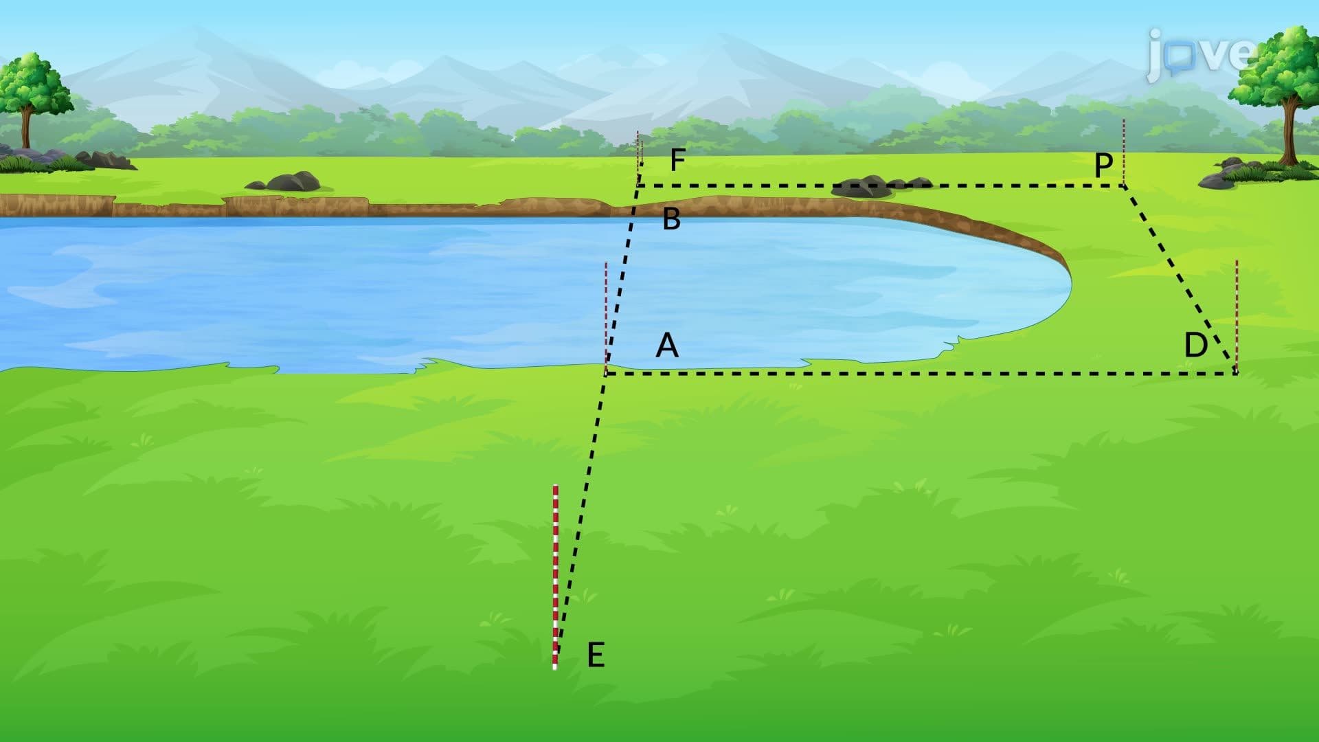

Video Summary: Design Example Measuring Distance Between Explained
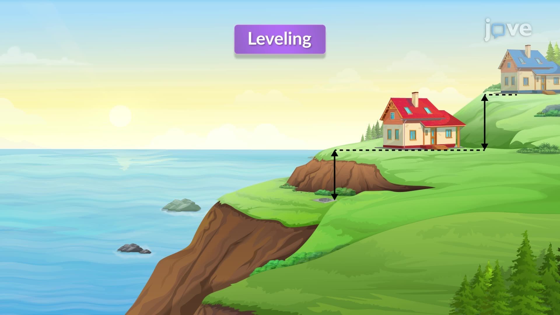
Did you know that California's Golden Gate Bridge engineers couldn't simply stretch a measuring tape across San Francisco Bay during construction planning? The introduction and methods of leveling become crucial when surveyors face natural obstacles like lakes, rivers, or canyons. Professional land surveyors routinely use the offset method-a clever technique demonstrated in Design Example Measuring Distance Between Explained-to measure distances across impassable terrain by creating parallel baselines and perpendicular measurements. Watch the full video on JoVE Coach to master this concept with expert-led visuals and step-by-step explanations.
The offset method represents a fundamental surveying technique that transforms an impossible direct measurement into a series of manageable, accurate calculations. When surveyors encounter obstacles like lakes, rivers, or steep terrain during property boundary determination or construction site mapping, traditional measuring tape becomes useless. This method creates a geometric solution by establishing a baseline parallel to the desired measurement and using perpendicular offsets to calculate the actual distance.
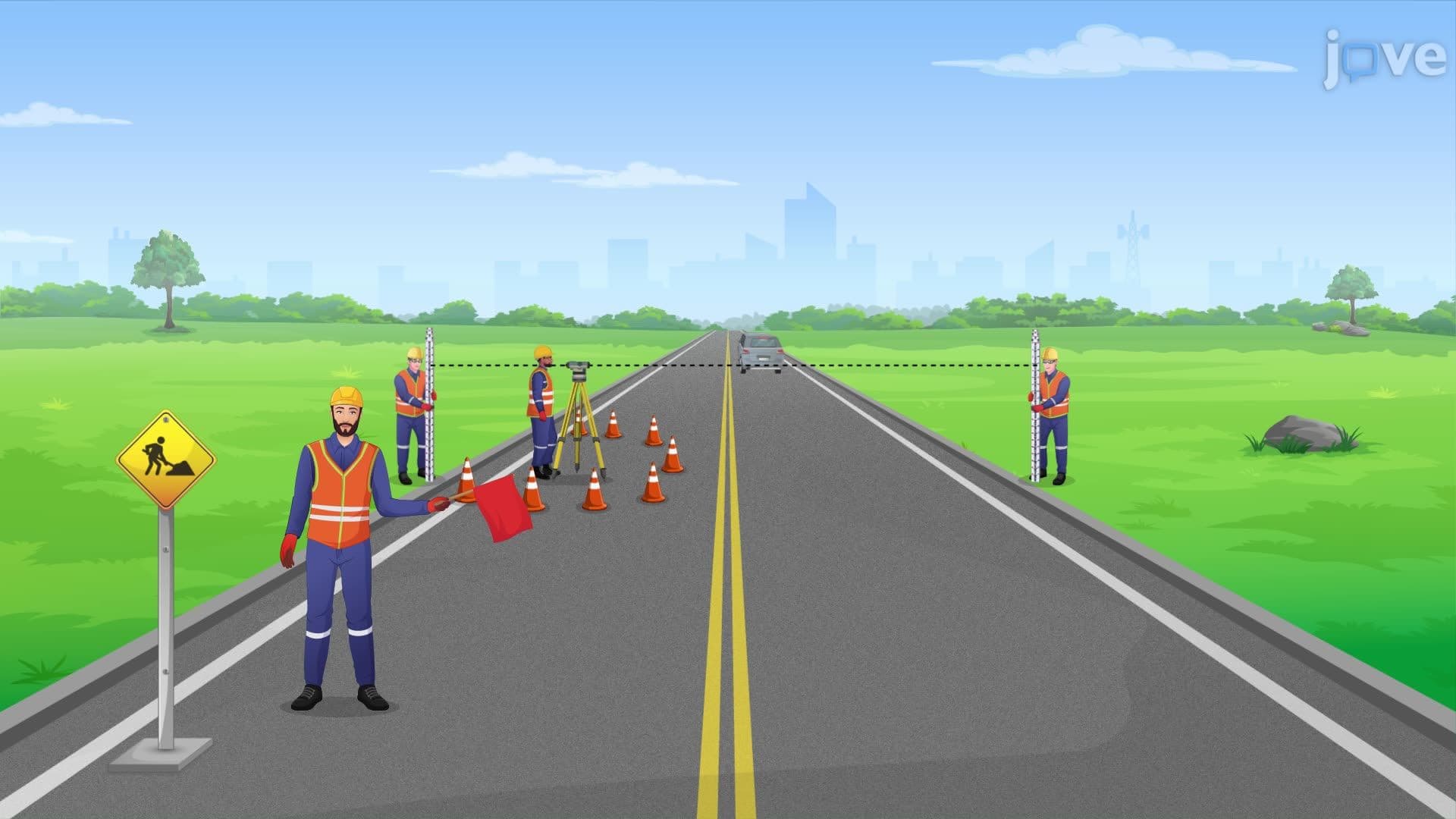
Professional surveyors begin by identifying the intended measurement line-the distance they need to determine across the obstacle. Using a surveying telescope or transit, they establish perfect alignment from one endpoint to the other, essentially creating an imaginary straight line across the water or obstruction. This baseline becomes the foundation for all subsequent measurements. The telescope's precision ensures that even across distances of several hundred feet, the alignment remains accurate to within inches-critical for legal property boundaries and engineering projects.
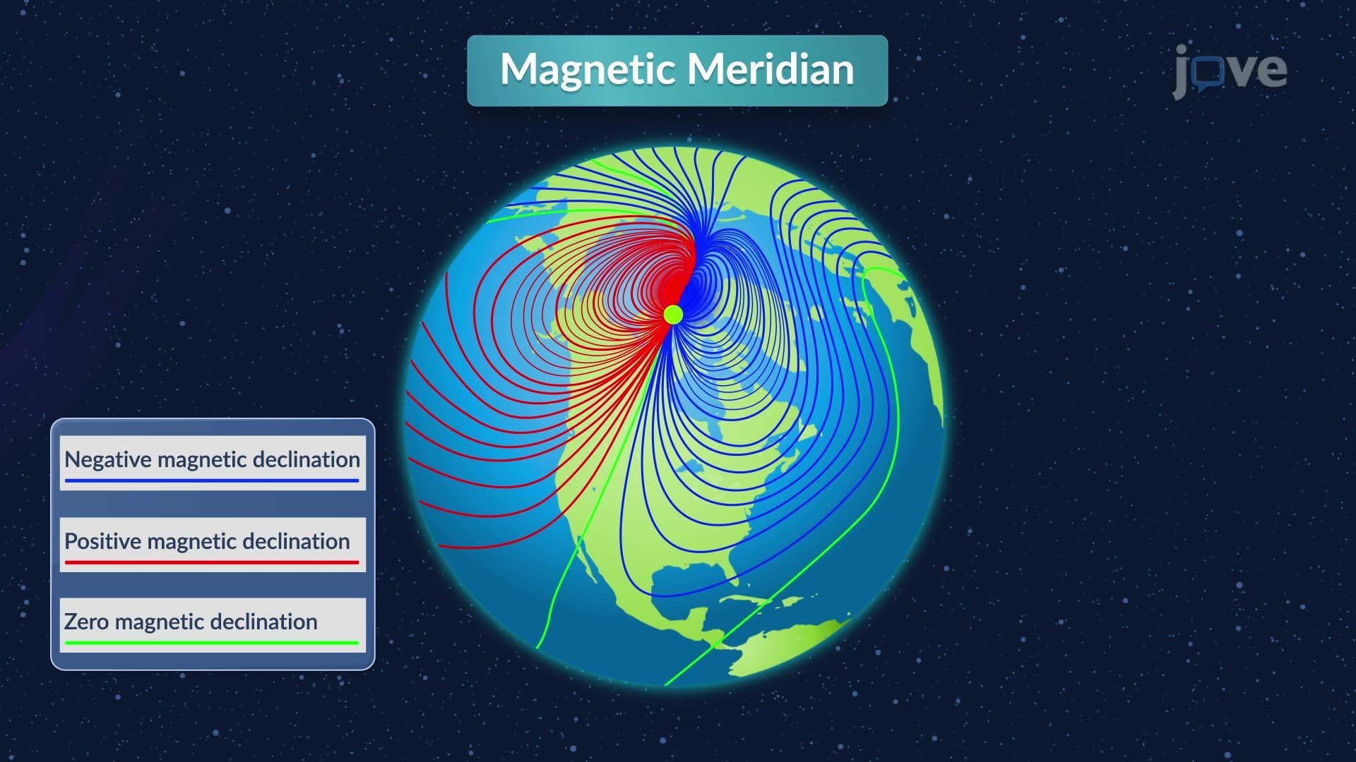
From both endpoints of the aligned baseline, surveyors use a compass to create perpendicular lines extending toward accessible ground. These offsets must be exactly 90 degrees from the baseline and of equal length-typically 50 to 200 feet depending on terrain and accuracy requirements. The compass ensures perpendicular precision, while careful pacing or chain measurements guarantee equal offset distances. This creates a rectangle where the unknown distance (across the obstacle) forms one side, and the measurable distance between offset endpoints forms the parallel opposite side.
This technique proves essential in numerous real-world scenarios across the United States. During the surveying of Central Park in Manhattan during the 1850s, surveyors used offset methods to measure across the various planned water features. Modern applications include highway construction projects crossing rivers, property line determination across wetlands, and urban development planning around existing infrastructure. Students preparing for the Fundamentals of Surveying (FS) exam-a requirement for professional surveying licensure-encounter offset method problems regularly, as this technique demonstrates core principles of geometric problem-solving and precision measurement that define professional practice.
Related Micro-courses