Loading subject page…
- Civil Engineering
- Introduction to Surveying
- Errors in Taping
Micro-course: Introduction to Surveying
2,456 views
Learn key concepts and earn your certificate.


Errors in Taping

00:00
01:18
Video Summary: What are Errors in Taping
Did you know that a 1-foot error in surveying a residential property boundary could cost homeowners thousands in legal disputes? Electronic distance measuring instruments have revolutionized modern surveying, but understanding traditional taping errors remains crucial for accuracy. California's Department of Transportation still requires surveyors to master tape correction techniques for highway construction projects. What are errors in taping becomes essential knowledge for any surveying professional. Watch the full video on JoVE Coach to master this concept with expert-led visuals and step-by-step explanations.
- Understand what are errors in taping and identify the five major categories that affect measurement accuracy in surveying applications
- Recognize alignment errors and how skilled tapemen use telescopes to maintain proper positioning during distance measurements
- Analyze reading and setting errors, including common number misreading patterns and worn tape markings
- Evaluate plumbing errors and their significant impact on surveying precision compared to minor measurement variations
- Apply sag correction formulas to compensate for tape curvature when measuring between elevated endpoints
- Identify endpoint errors by inspecting tape starting and ending positions before beginning measurements
- Explore environmental factors like wind effects on plumb bobs and tape positioning during field surveys
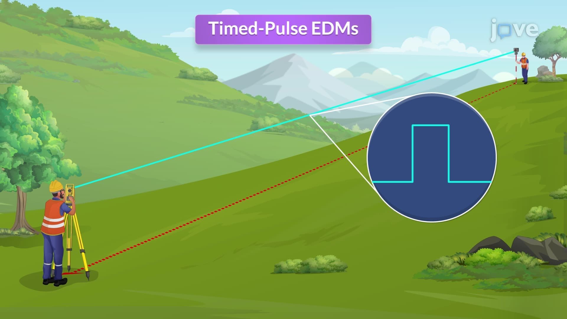
- Compare traditional taping methods with modern electronic distance measuring instruments for accuracy assessment
Understanding What Are Errors in Taping
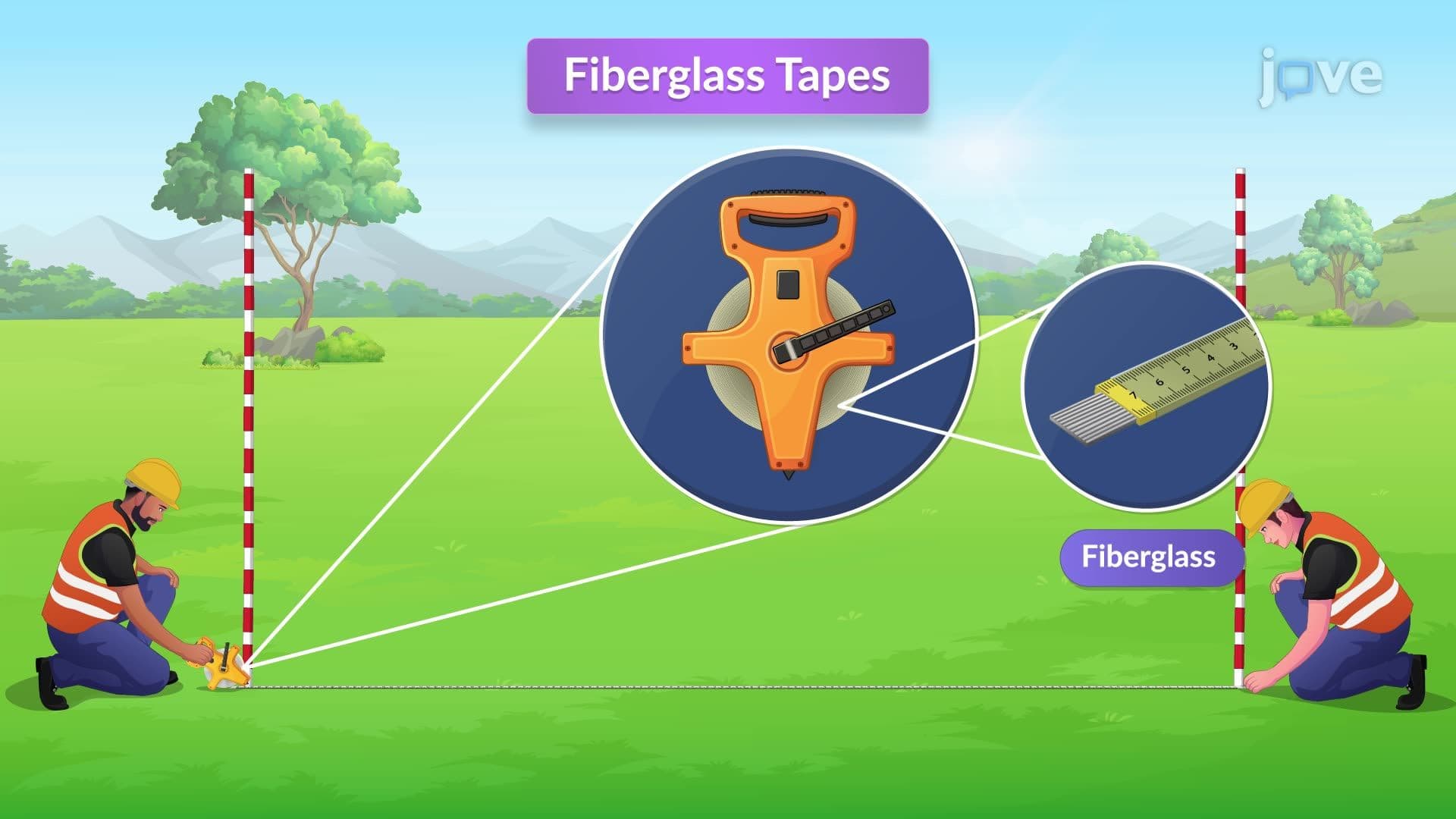
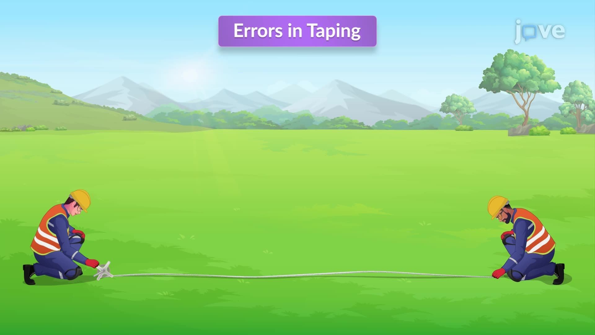
What are errors in taping refers to systematic and random inaccuracies that occur during traditional surveying measurements using steel or fiberglass tapes. These errors significantly impact the precision of distance measurements in construction, civil engineering, and land surveying projects. The Federal Emergency Management Agency (FEMA) requires surveyors to account for taping errors when establishing flood zone boundaries, making this knowledge essential for professional certification.
Major Categories of Taping Errors
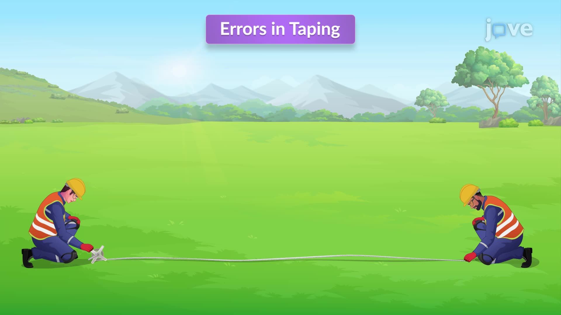
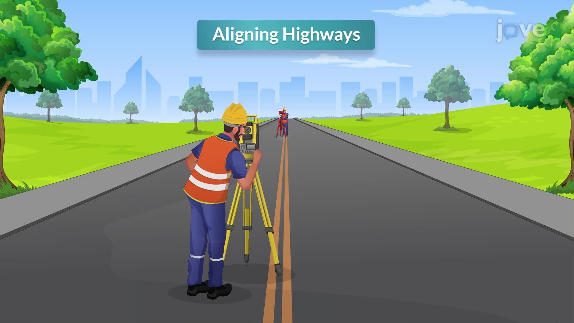
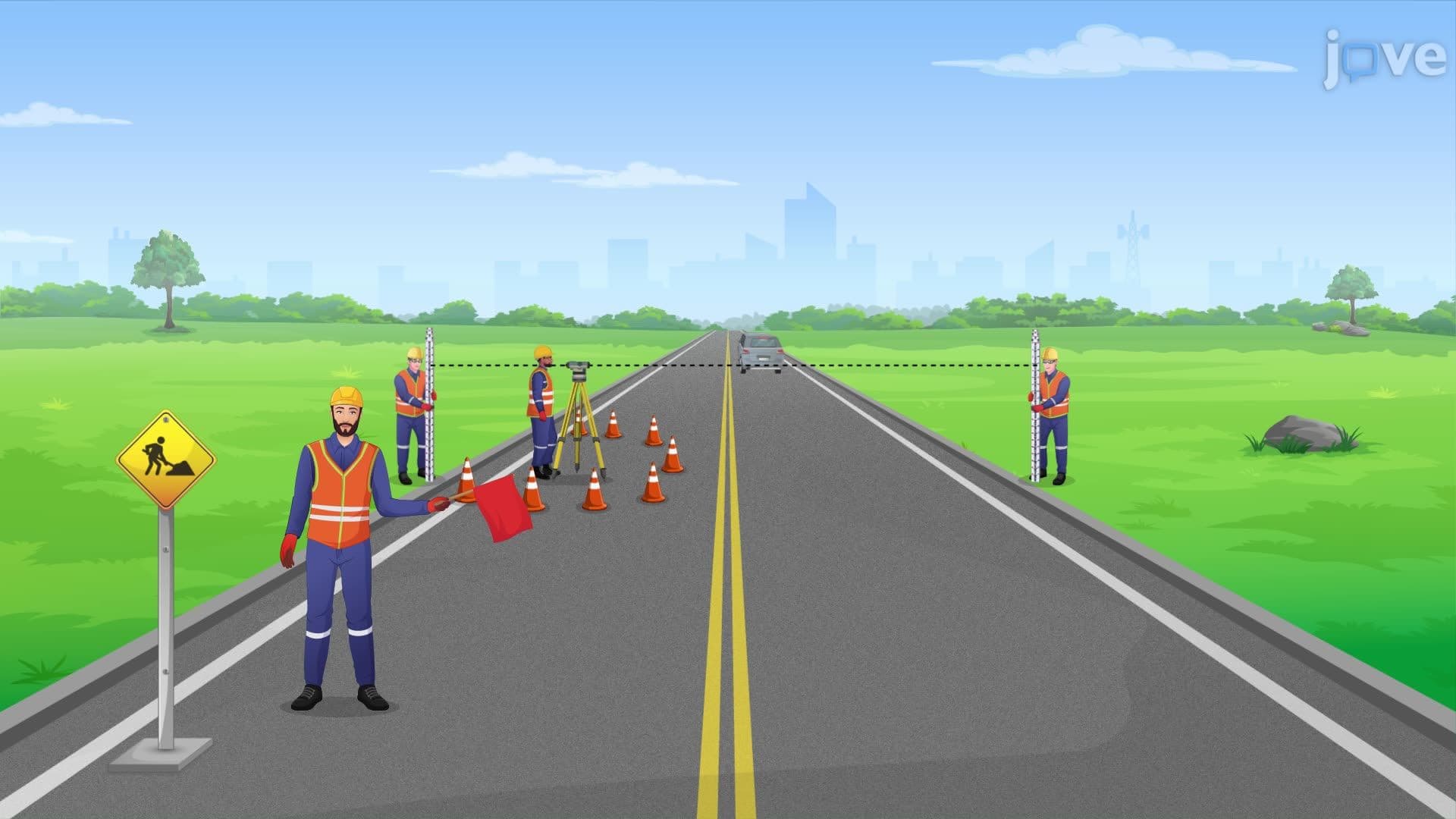
Alignment errors represent the most controllable source of inaccuracy. When the tape deviates from a straight line between measurement points, the recorded distance exceeds the true horizontal distance. Professional surveyors use transit telescopes or total stations to guide the head tapeman, ensuring proper alignment. The American Congress on Surveying and Mapping emphasizes alignment accuracy in their certification standards.
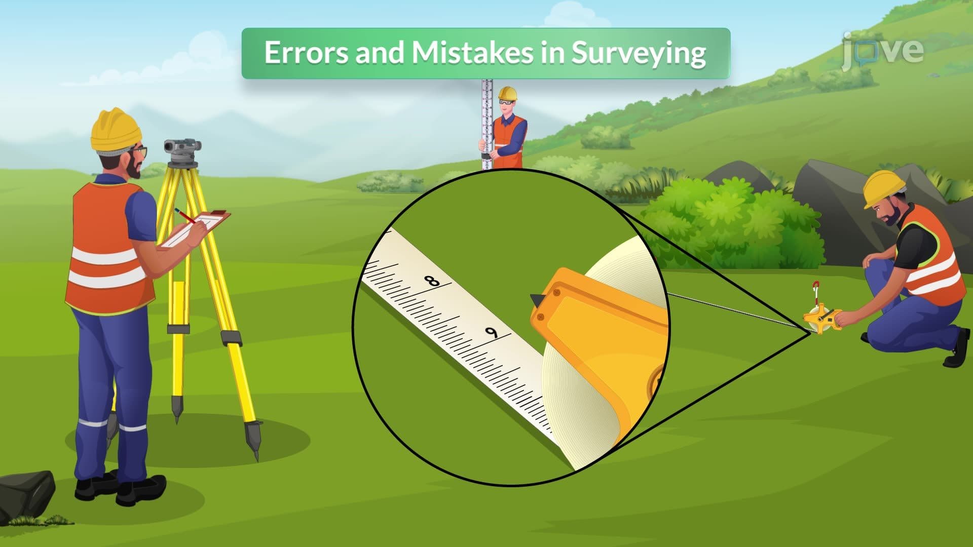
Reading and setting errors occur due to human limitations in interpreting tape markings and positioning equipment. Common mistakes include confusing similar-looking numbers (6 vs 9) and imprecise plumb bob positioning. These errors become more frequent with aged tapes where numbers wear off. AP Environmental Science students studying watershed boundaries must understand how these seemingly minor errors compound over large distances.
Systematic Error Sources
Plumbing errors create significant measurement discrepancies when transferring horizontal tape positions to ground points using plumb bobs. Wind conditions exacerbate this problem, particularly in open areas like the Great Plains where surveying wind farms requires exceptional precision.
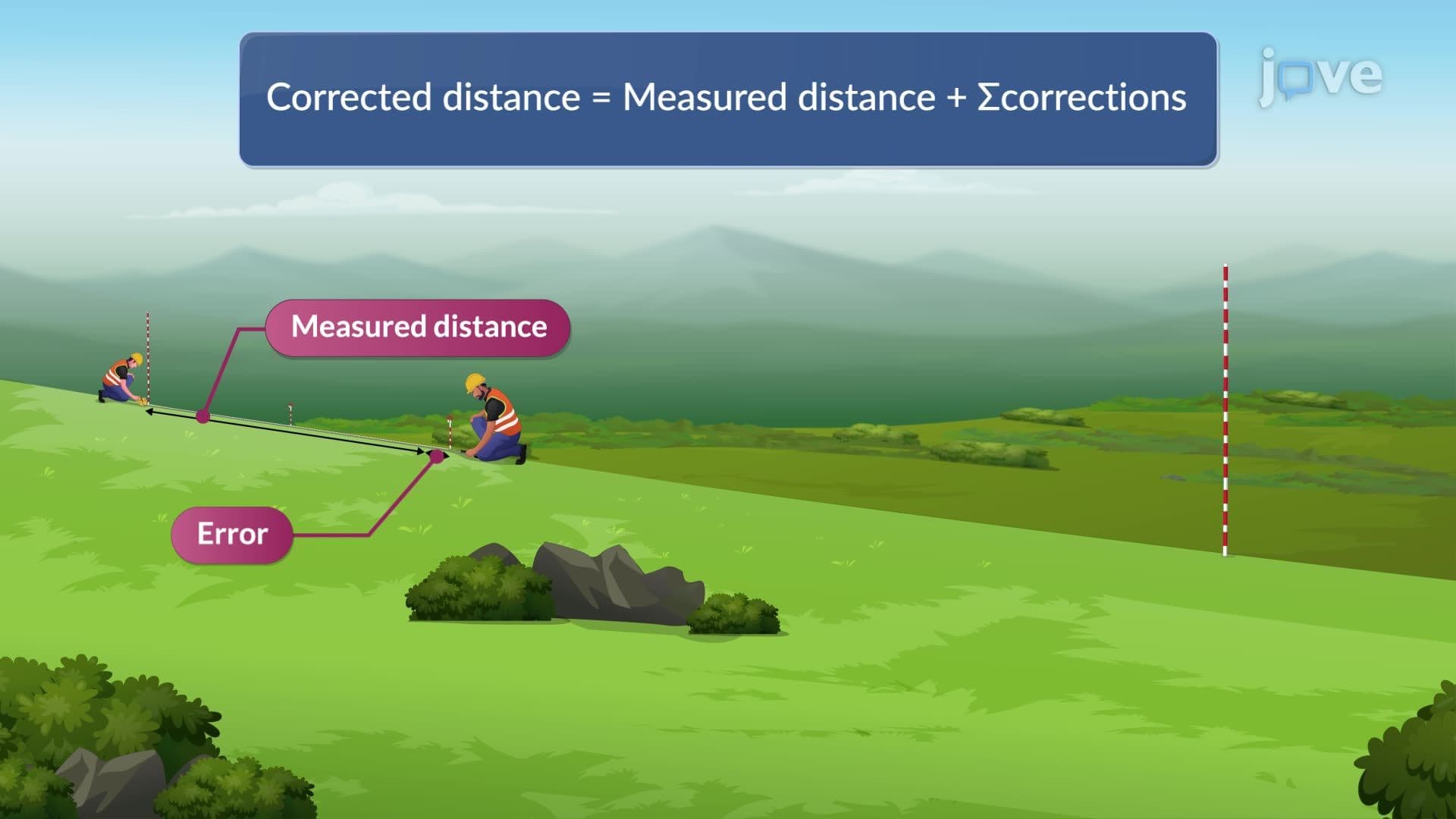
Sag errors result from gravitational effects on unsupported tape sections. The formula for sag correction is: Cs = (W²L)/(24P²), where W represents tape weight per unit length, L is the unsupported length, and P is the applied tension. The National Institute of Standards and Technology provides standardized correction factors for different tape materials and conditions.
Modern Applications and Electronic Distance Measuring Instruments
While electronic distance measuring instruments have largely replaced tape measurements for primary surveys, understanding taping errors remains crucial. The Surveying and Mapping Society of Georgia still requires manual taping proficiency for professional licensing. College surveying courses, including those at University of Florida and Texas A&M, teach both traditional and electronic methods.
Electronic distance measuring instruments eliminate most human-induced errors but require understanding of atmospheric corrections and instrumental limitations. The Federal Aviation Administration uses both traditional and electronic surveys for airport runway measurements, demonstrating the continued relevance of comprehensive measurement knowledge.
Frequently Asked Questions
Errors in taping are measurement inaccuracies that occur when using traditional surveying tapes, including alignment, reading, plumbing, sag, and environmental errors. They matter because many legal property descriptions still reference original tape surveys, and understanding these errors helps interpret historical survey data. Professional surveyors must know correction methods for license examinations and field applications.
The NCEES FS exam frequently tests sag correction calculations and error propagation in tape measurements. Students should memorize the sag correction formula and understand when to apply different correction factors. Practice problems often involve calculating corrected distances for sloped terrain measurements.
AP Environmental Science may include taping errors in watershed mapping or habitat boundary questions. Students should understand how measurement errors affect area calculations and environmental impact assessments. The College Board emphasizes practical applications rather than complex mathematical derivations.
Professional firms use electronic distance measuring instruments for primary control but maintain tape measurement capabilities for detail work and verification. They apply standardized correction procedures and maintain calibrated equipment according to American Land Title Association standards. Quality control protocols include redundant measurements and statistical error analysis.
Basic algebra and trigonometry suffice for most taping error calculations, making this accessible to high school students. The concepts emphasize practical problem-solving rather than theoretical mathematics. Understanding proportional relationships and unit conversions provides adequate foundation for most applications.
Focus on sag correction calculations, temperature effects, and slope corrections as these appear most frequently on professional exams. Memorize standard correction formulas and practice applying them to various scenarios. Understanding when corrections are significant versus negligible demonstrates practical judgment essential for professional practice.
The National Map Accuracy Standards specify allowable positional errors that trace back to original survey measurements, including tape surveys. Understanding historical taping limitations helps GIS professionals assess data quality and appropriate applications. Modern GPS surveys achieve higher precision but must account for datum transformations from older tape-based control networks.
Error propagation theory, least squares adjustment, and statistical analysis of survey networks extend taping error principles to complex projects. Students can explore geodetic surveying, GPS error modeling, and photogrammetric accuracy assessment. These topics appear in graduate-level courses and advanced professional certifications.
Related Micro-courses