Loading video…


 10 Concepts
 2.5K views

Video Summary: Taping Over Different Ground Profiles Explained
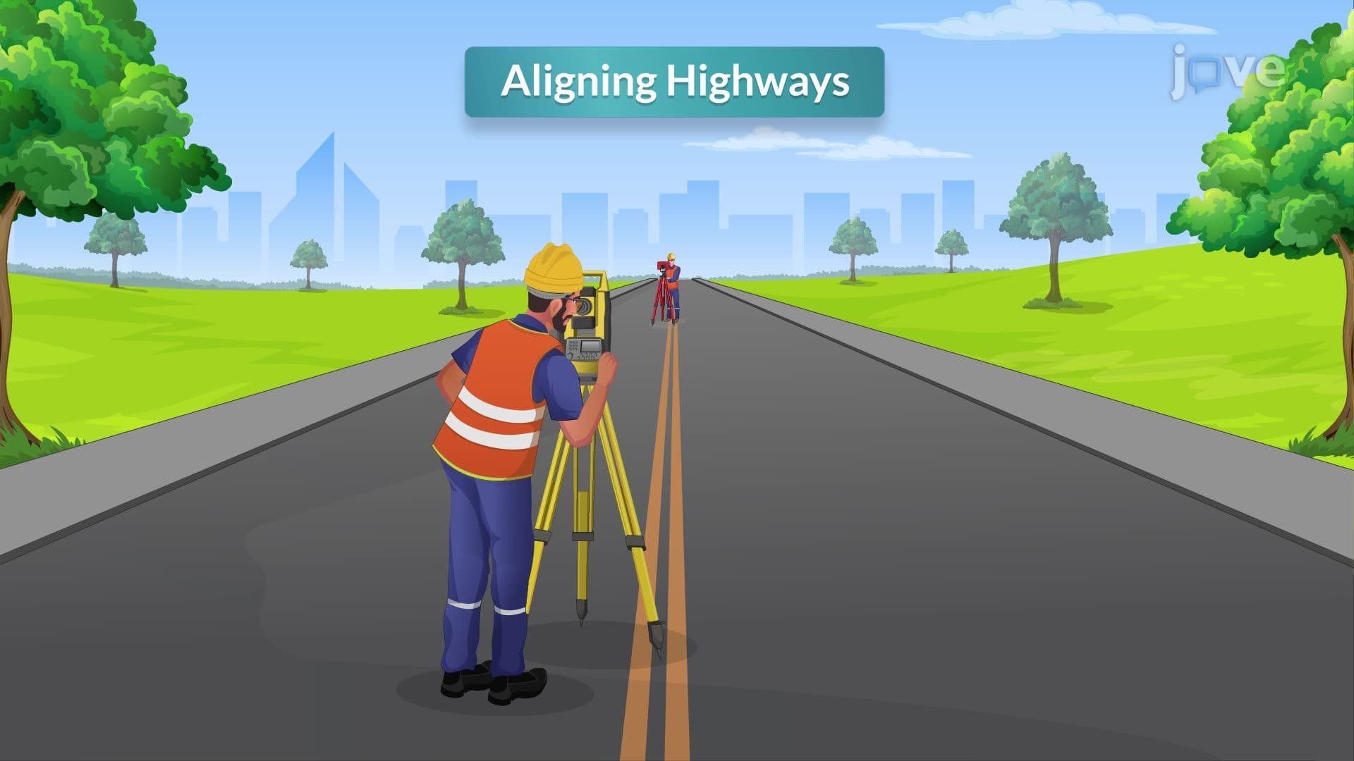
Distance corrections become critical when surveying teams encounter varying terrain-from Florida's flat wetlands to Colorado's steep mountain slopes. Understanding distance corrections and how taping over different ground profiles affects measurement accuracy can mean the difference between a successful construction project and costly engineering mistakes. Professional surveyors working on major US infrastructure projects like highway construction must master these techniques to ensure millimeter-precision measurements across diverse landscapes. Watch the full video on JoVE Coach to master this concept with expert-led visuals and step-by-step explanations.
Taping over different ground profiles represents a fundamental challenge in land surveying that directly impacts measurement accuracy and project success. Professional surveyors must adapt their techniques based on terrain conditions, from the flat agricultural fields of Iowa to the mountainous regions of the Appalachians. This adaptability ensures that distance corrections account for ground variations that could otherwise introduce significant errors into survey data used for property boundaries, construction layouts, and engineering projects.
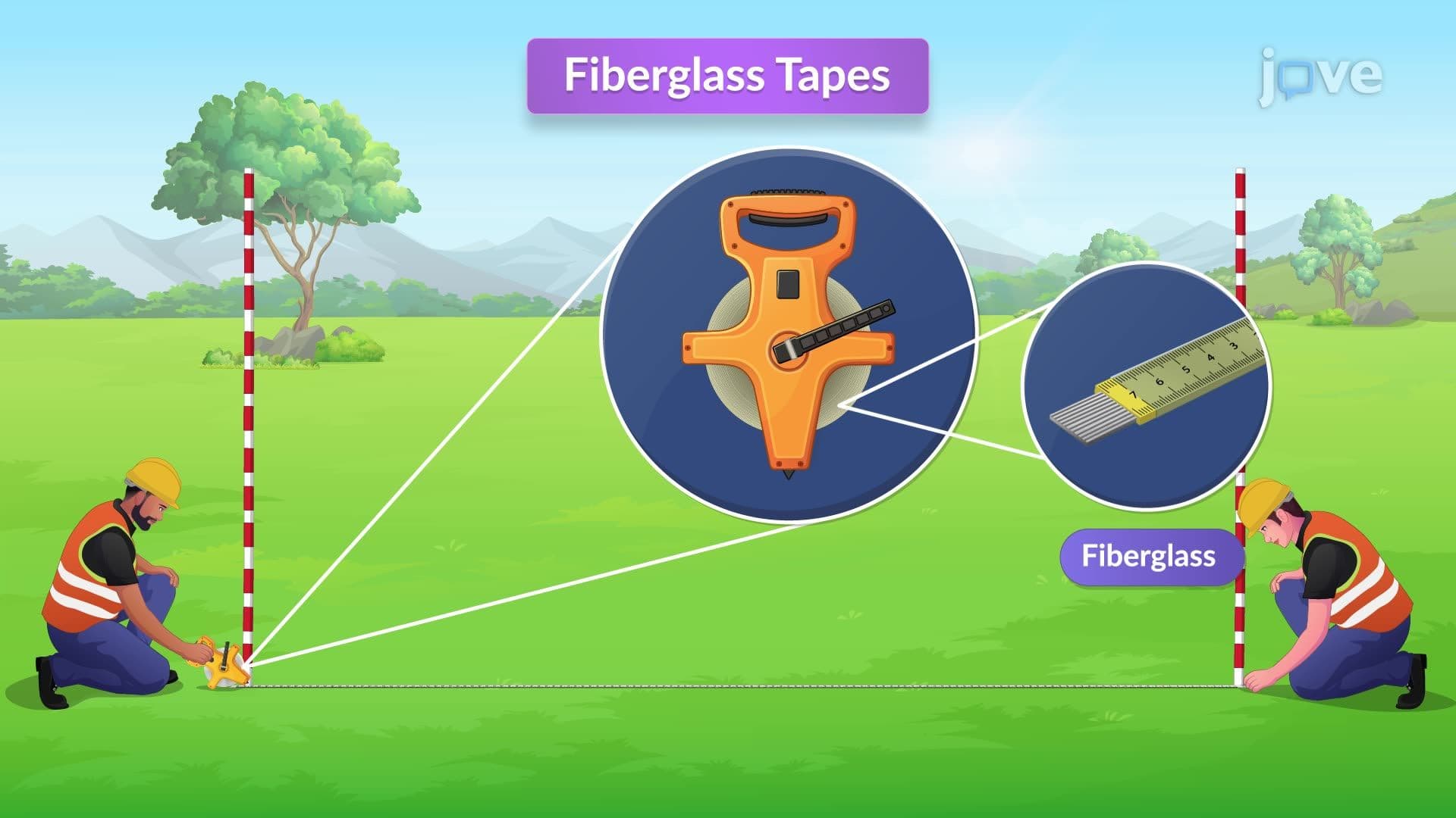
When working on smooth, level ground with minimal vegetation-such as surveying suburban subdivision lots in Phoenix or measuring athletic fields-surveyors can employ direct ground taping methods. This technique allows the measuring tape to rest directly on the surface, minimizing the need for complex distance corrections. The two-person team structure, consisting of a head tapeman and rear tapeman, establishes clear communication protocols essential for accurate measurements.
The rear tapeman maintains position at the starting point and provides directional guidance to the head tapeman through standardized hand signals or voice commands. This coordination ensures the tape follows the intended survey line, particularly when aligning with range poles positioned beyond the measurement endpoint. Such precision becomes critical in applications like establishing property lines for residential developments or laying out foundation markers for commercial construction projects.
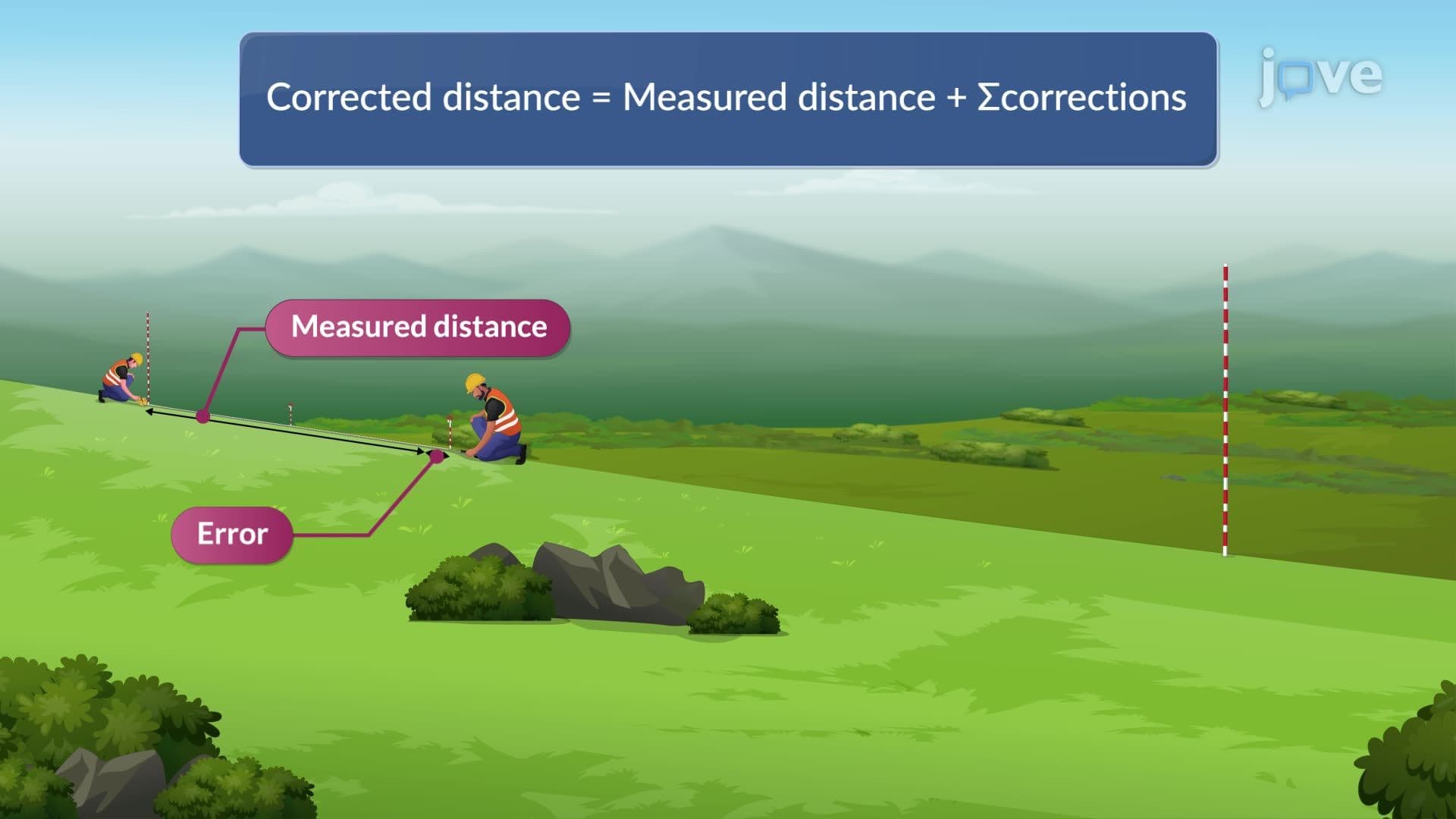
Challenging terrain conditions-including steep slopes, dense underbrush, or uneven surfaces like those found in Pacific Northwest forests or Southeastern swamplands-require horizontal taping techniques with specialized distance corrections. This method maintains the tape in a level position regardless of ground profile variations, ensuring measurements reflect true horizontal distances rather than slope distances that would introduce systematic errors.
The breaking tape method becomes particularly valuable when proceeding downhill, such as during highway survey work in mountainous states like Montana or West Virginia. The head tapeman advances along the survey line while maintaining horizontal tape position from intermediate measurement points. Plumb bob alignment over specific foot marks ensures vertical accuracy, with measurements recorded only after the tape achieves proper horizontal leveling and appropriate tension.
These taping techniques appear frequently in standardized assessments, including AP Environmental Science field work components and college-level surveying courses offered at institutions like Texas A&M University and Virginia Tech. Students preparing for professional licensing exams, such as the Fundamentals of Engineering (FE) exam, must demonstrate proficiency in selecting appropriate measurement methods based on terrain conditions and calculating necessary distance corrections for various ground profiles.
Related Micro-courses