Loading video…


 7 Concepts
 2.8K views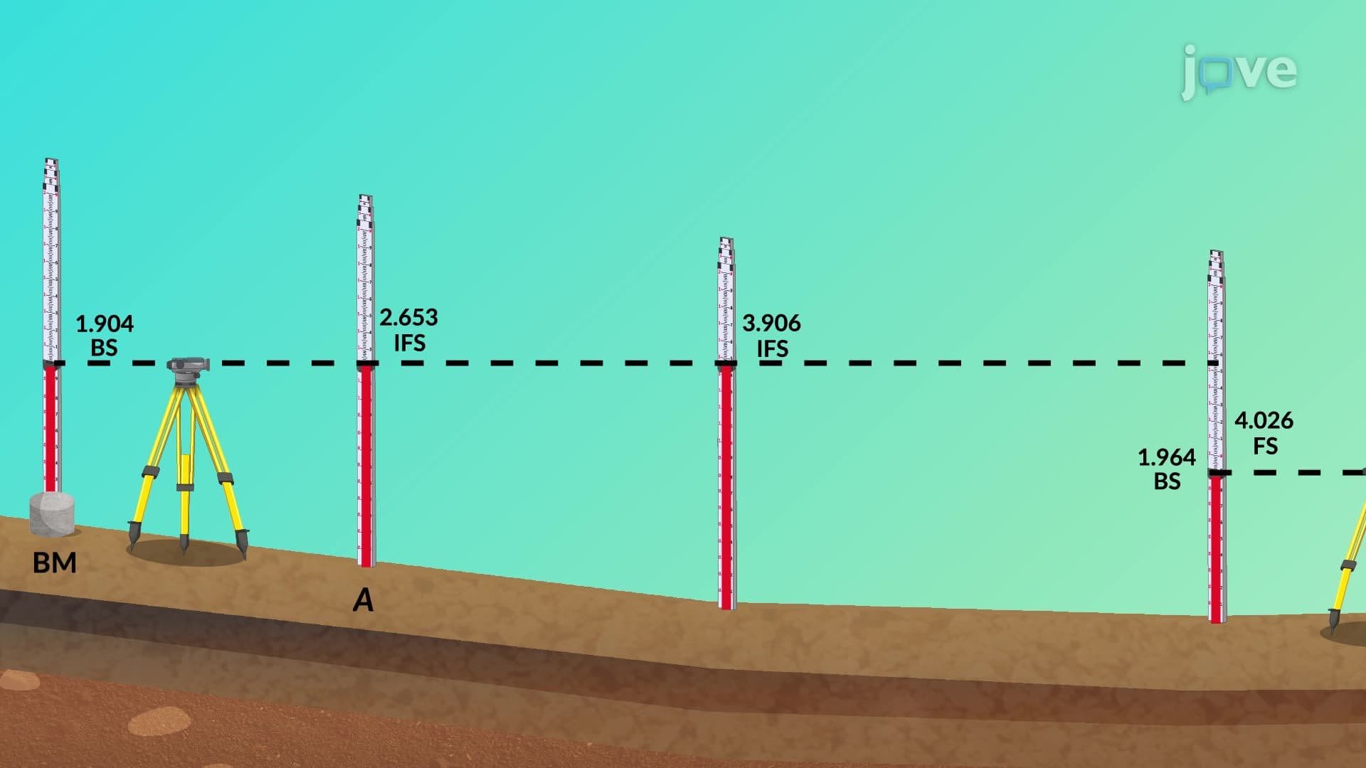

Video Summary: Profile Leveling and Cross Sections Explained
Ever wonder how engineers ensure the Interstate Highway System maintains safe grades across America's varied terrain? A design example maintaining level of precision in surveying requires mastering Profile Leveling And Cross Sections Explained techniques. From California's mountainous I-5 to Florida's coastal highways, surveyors use these methods to map elevation changes and plan earthwork. Watch the full video on JoVE Coach to master this concept with expert-led visuals and step-by-step explanations.
Profile leveling serves as the backbone of modern infrastructure development, providing engineers with precise elevation data essential for safe, cost-effective construction. This surveying technique measures height differences along a predetermined route, creating a detailed vertical profile that guides design decisions for highways, railroads, and utility corridors.
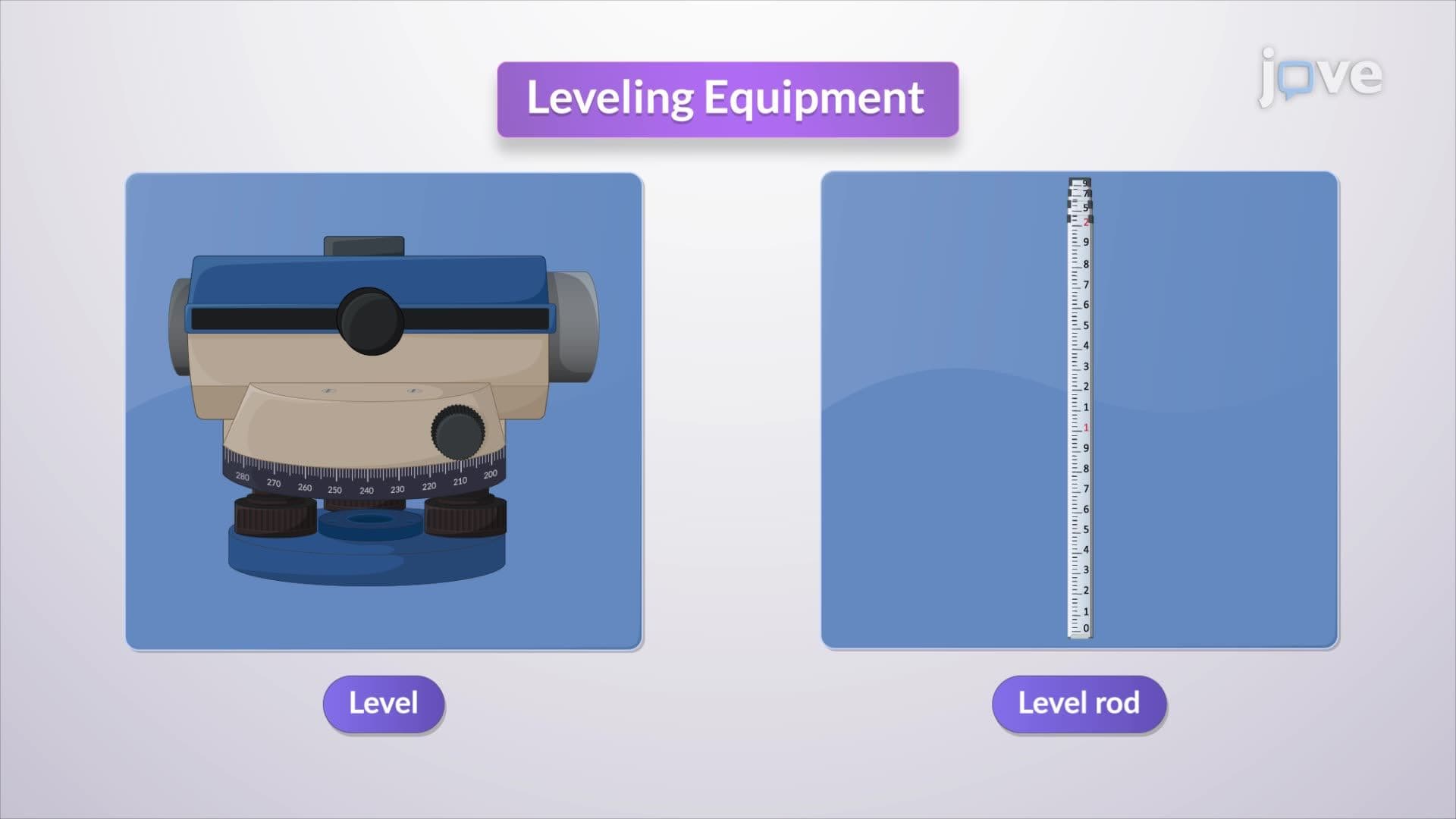
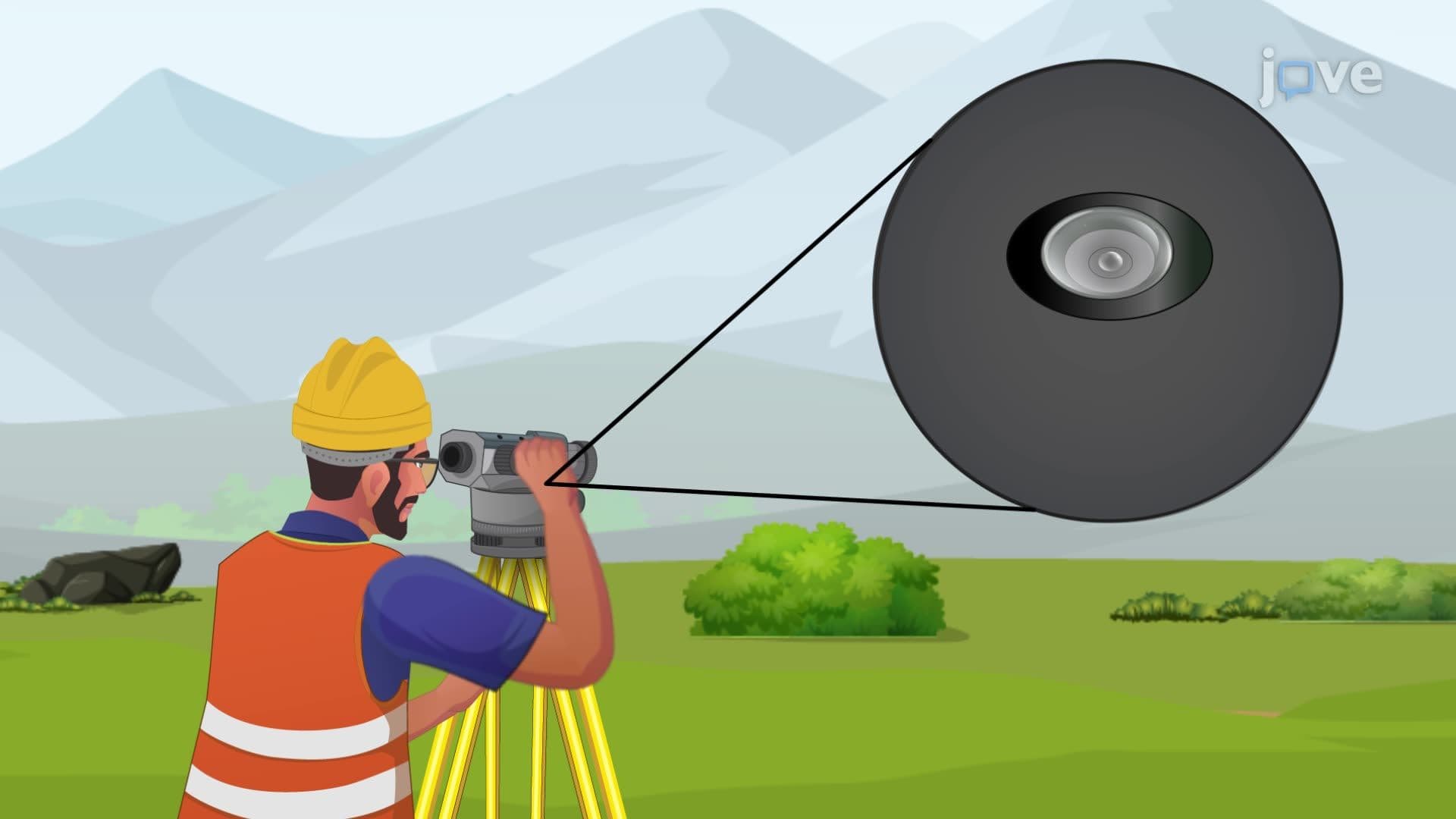
The process begins with establishing a benchmark-a point of known elevation that serves as the reference for all subsequent measurements. Surveyors position their leveling instrument at strategic locations, taking backsight readings to determine the height of the instrument above sea level. This calculation, known as the "height of instrument" (HI), becomes crucial for accurate elevation determination.
Systematic data collection involves taking foresight readings at regular stations along the survey line. These intervals typically range from 50 to 100 feet, depending on terrain complexity and project requirements. Critical points such as drainage crossings, slope changes, and property boundaries receive special attention during measurement.
When the instrument's effective range is exceeded-usually around 300 feet for optimal accuracy-the surveyor relocates the equipment. Maintaining elevation continuity requires careful attention to the last measured point, which becomes the new backsight reference. This "leapfrogging" technique ensures unbroken elevation data across miles of survey line.
Cross sections complement profile data by capturing elevation changes perpendicular to the main survey line. Stakes placed at predetermined distances from the centerline-typically 25, 50, or 100 feet-provide elevation data essential for calculating earthwork volumes and assessing drainage patterns.
This perpendicular measurement technique proves invaluable for highway design, where understanding side slopes affects cut-and-fill calculations. For example, the design example maintaining level of accuracy required for Interstate 80's construction through Nevada's desert terrain demanded extensive cross-sectional analysis to minimize environmental impact while maintaining safe grades.
Modern surveying projects integrate profile and cross-sectional data using computer-aided design software. Engineers use this information to optimize alignment, minimize earthwork costs, and ensure compliance with design standards. The Federal Highway Administration requires specific gradient limitations-typically 6% maximum for interstate highways-making accurate elevation data critical for project approval.
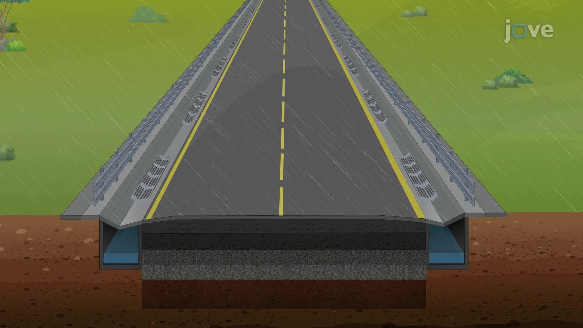
Students preparing for AP Environmental Science or college-level surveying courses should understand how these techniques support sustainable development practices. Proper elevation planning reduces soil erosion, minimizes habitat disruption, and ensures effective stormwater management in construction projects.
Related Micro-courses