Loading video…


 7 Concepts
 2.8K views

Video Summary: Introduction and Methods of Leveling Guide
Ever wonder how engineers determined that the Empire State Building sits 12 feet above sea level, or how surveyors map elevation changes across Manhattan's varied terrain? Understanding leveling equipment and measurement techniques is essential for any construction project, from skyscrapers to subway systems. The Introduction And Methods of Leveling Guide explores three fundamental approaches: trigonometric, barometric, and spirit leveling methods used by professionals across the United States. Watch the full video on JoVE Coach to master this concept with expert-led visuals and step-by-step explanations.
Leveling represents one of surveying's most critical functions, enabling precise determination of elevation differences across Earth's surface. This measurement science forms the backbone of virtually every construction project, from the foundation of One World Trade Center to the grading of Interstate highways. Understanding leveling equipment definition begins with recognizing that elevation refers to vertical distance measured from mean sea level-a standardized reference point that allows surveyors nationwide to maintain consistency.
The establishment of benchmarks creates a network of precisely known elevation points throughout regions. The National Geodetic Survey maintains over 240,000 benchmarks across the United States, providing reference points for local surveying projects. These permanent markers, often brass disks embedded in concrete or bedrock, enable surveyors to extend accurate elevation measurements to new locations.
What is leveling equipment in detail becomes clearer when examining trigonometric leveling, which determines inaccessible point elevations through indirect measurement. This method proves invaluable when direct measurement isn't feasible-such as determining the height of cell phone towers or measuring across rivers. Surveyors measure horizontal distance using electronic distance meters and vertical angles using theodolites or total stations.
The calculation involves basic trigonometry: elevation difference equals horizontal distance multiplied by the tangent of the vertical angle. For AP Physics students, this demonstrates practical trigonometry applications beyond classroom problems. Modern total stations combine these functions, automatically calculating elevations and storing data electronically.
Barometric leveling exploits atmospheric pressure's relationship with elevation-pressure decreases approximately 1 millibar per 8 meters of elevation gain at sea level. This method requires multiple simultaneous readings to account for weather-related pressure changes. While less precise than other methods, barometric leveling provides rapid elevation estimates across large areas, making it useful for preliminary surveys.
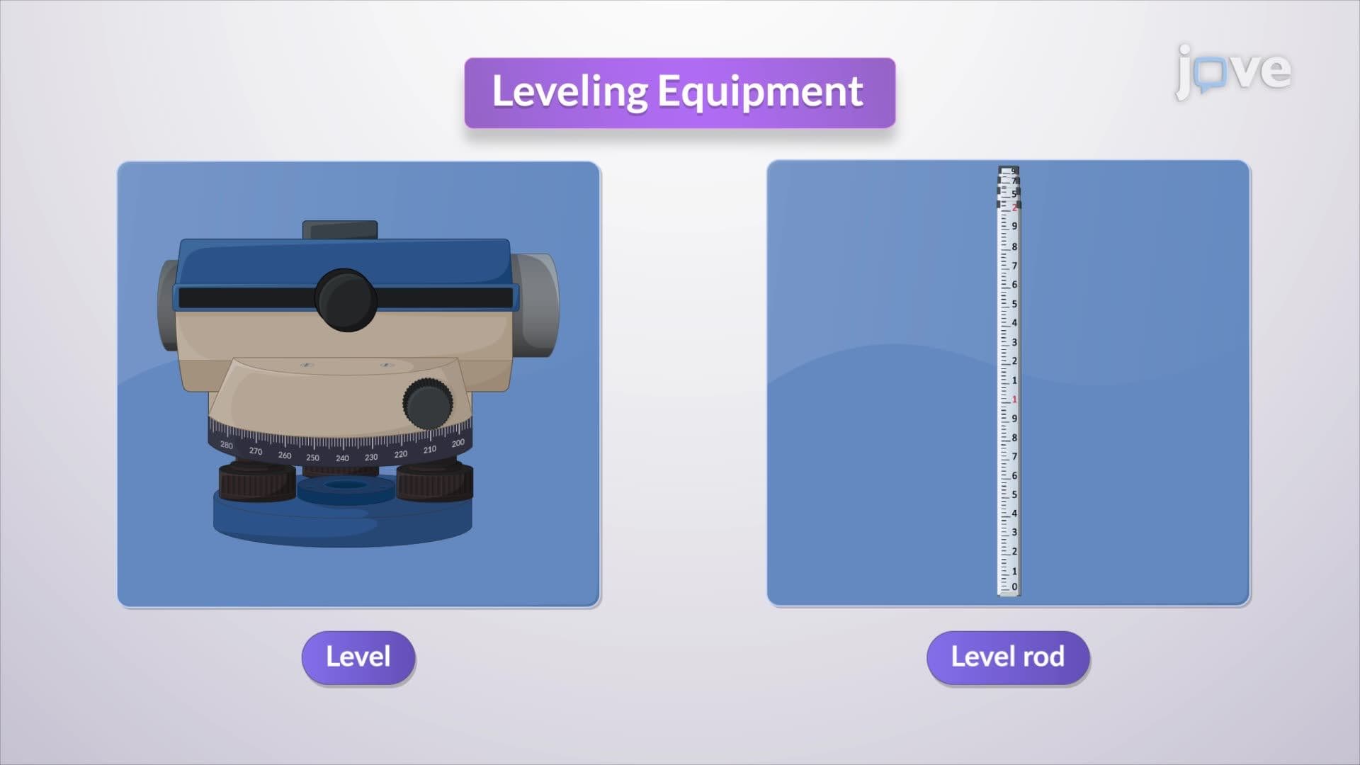
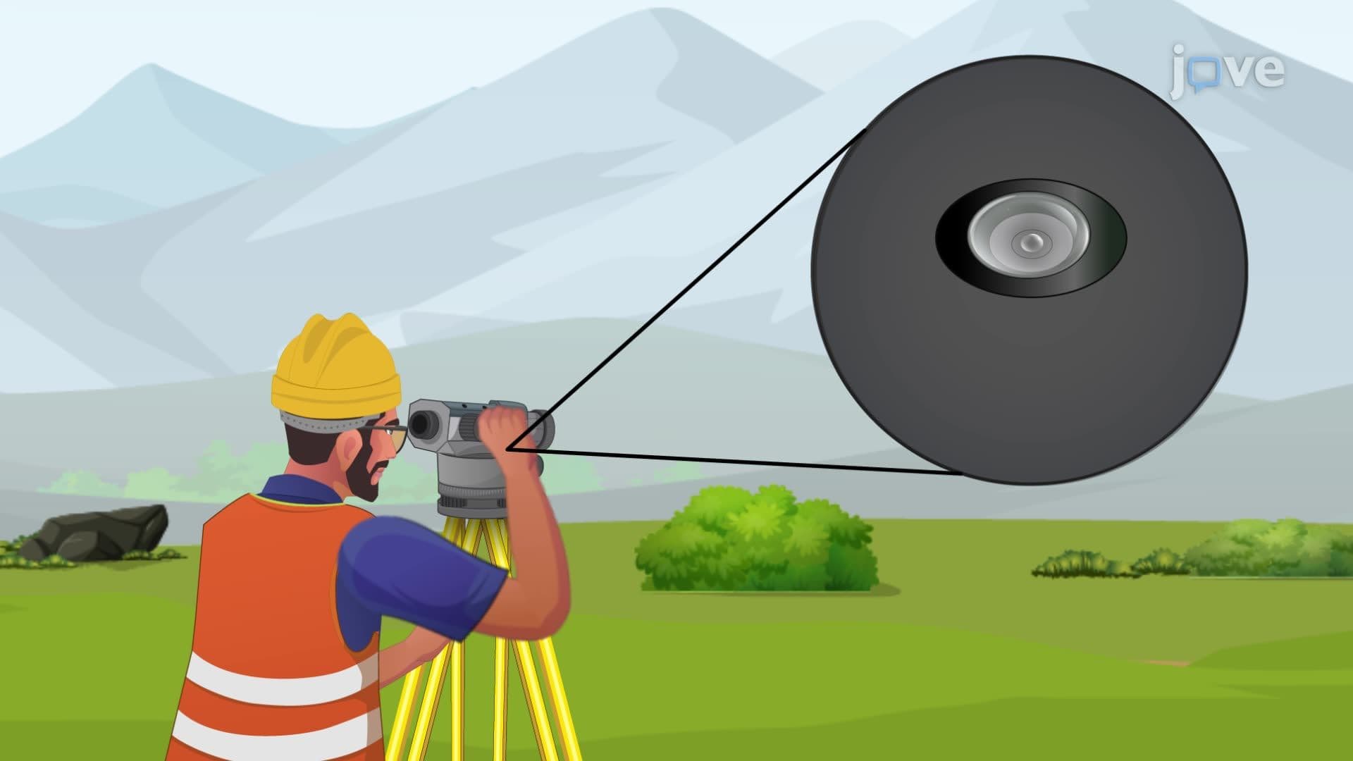
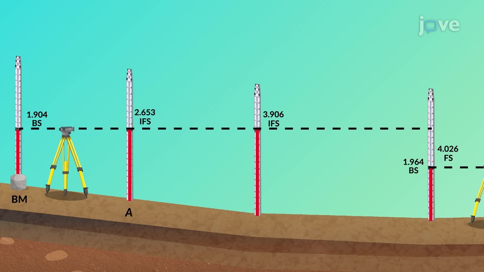
Spirit leveling, considered the most accurate method, uses precise leveling instruments to measure vertical differences along horizontal sight lines. The leveling equipment overview includes automatic levels, digital levels, and laser levels. These instruments can achieve millimeter accuracy over short distances, making them essential for construction projects requiring precise elevation control, such as building foundations or roadway grading. The process involves establishing a horizontal line of sight and measuring vertical distances to target points, then calculating elevations through simple arithmetic.
Related Micro-courses