Loading video…


 7 Concepts
 2.8K views

Video Summary: What Is Differential Leveling
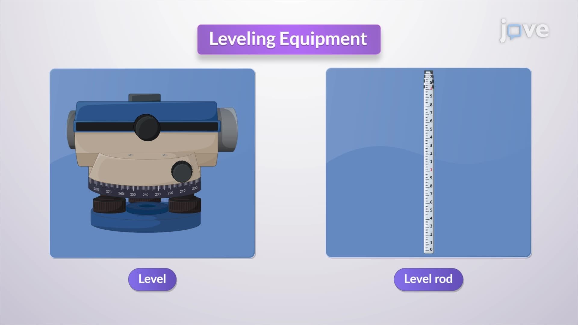
The influence of earth's curvature becomes critically important when surveyors need precise elevation measurements across long distances-imagine measuring elevation changes along California's 840-mile coastline where Earth's curvature creates significant measurement errors. Differential leveling accounts for these curvature effects by using systematic measurement techniques with leveling instruments and benchmark points to determine accurate elevation differences between distant locations. Watch the full video on JoVE Coach to master this concept with expert-led visuals and step-by-step explanations.
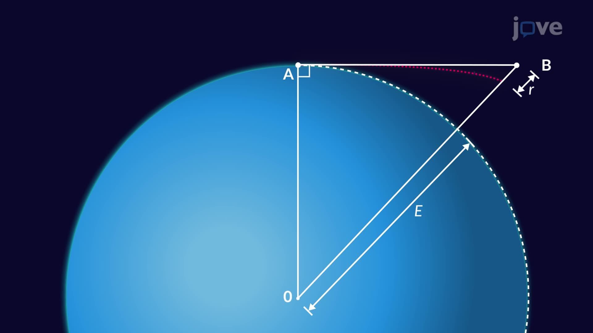
Differential leveling is a precise surveying technique used to determine elevation differences between points that are too far apart for direct measurement. This method becomes essential when the influence of earth's curvature introduces significant errors into standard leveling procedures. Unlike simple spirit leveling over short distances, differential leveling accounts for the fact that Earth's surface curves approximately 8 inches per mile, creating substantial measurement discrepancies over longer distances.
The technique employs a systematic approach using benchmarks-points with known, established elevations-as reference points. For example, the U.S. Geological Survey maintains over 740,000 benchmarks across the United States, providing surveyors with reliable elevation references for differential leveling projects.
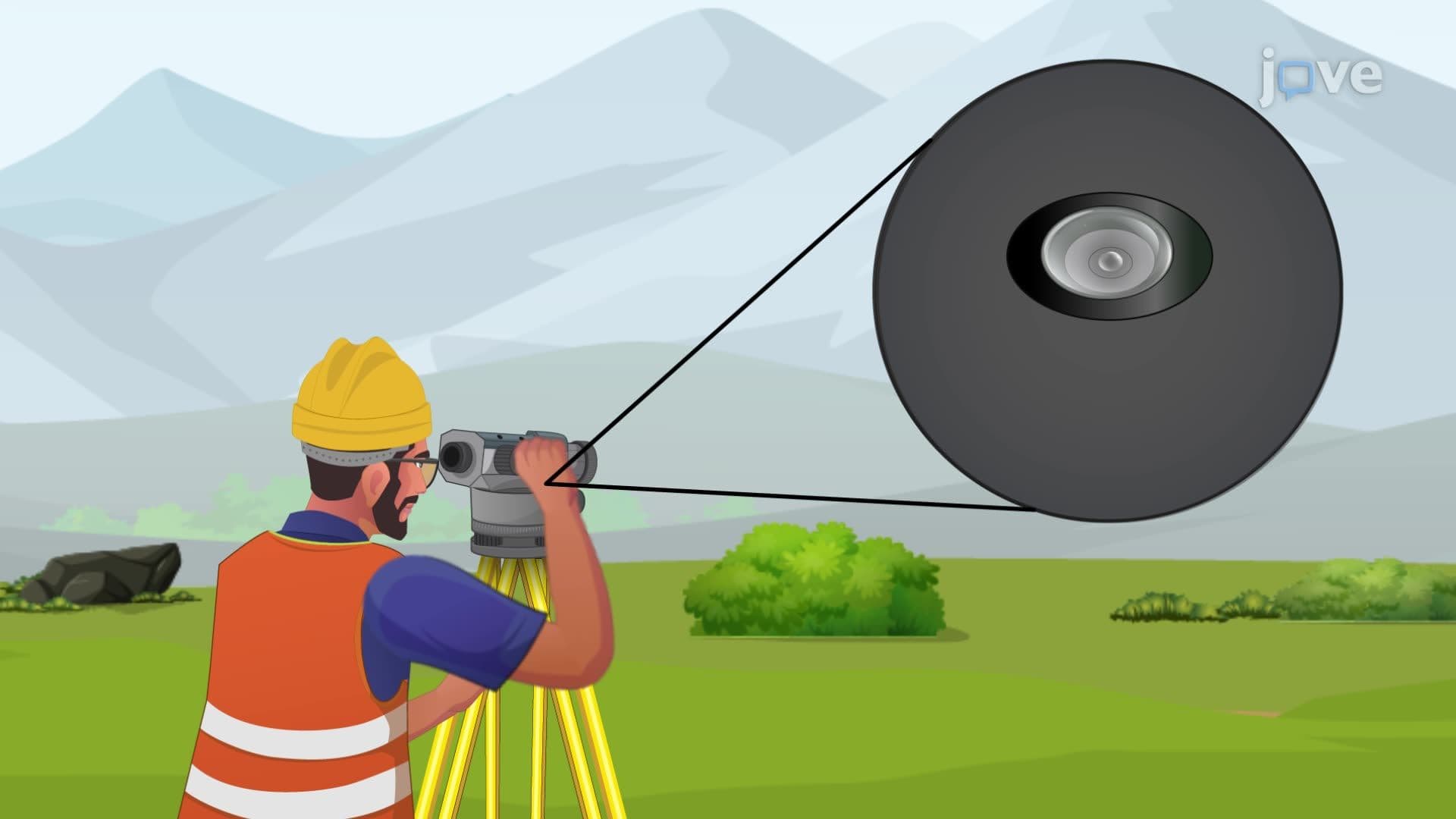
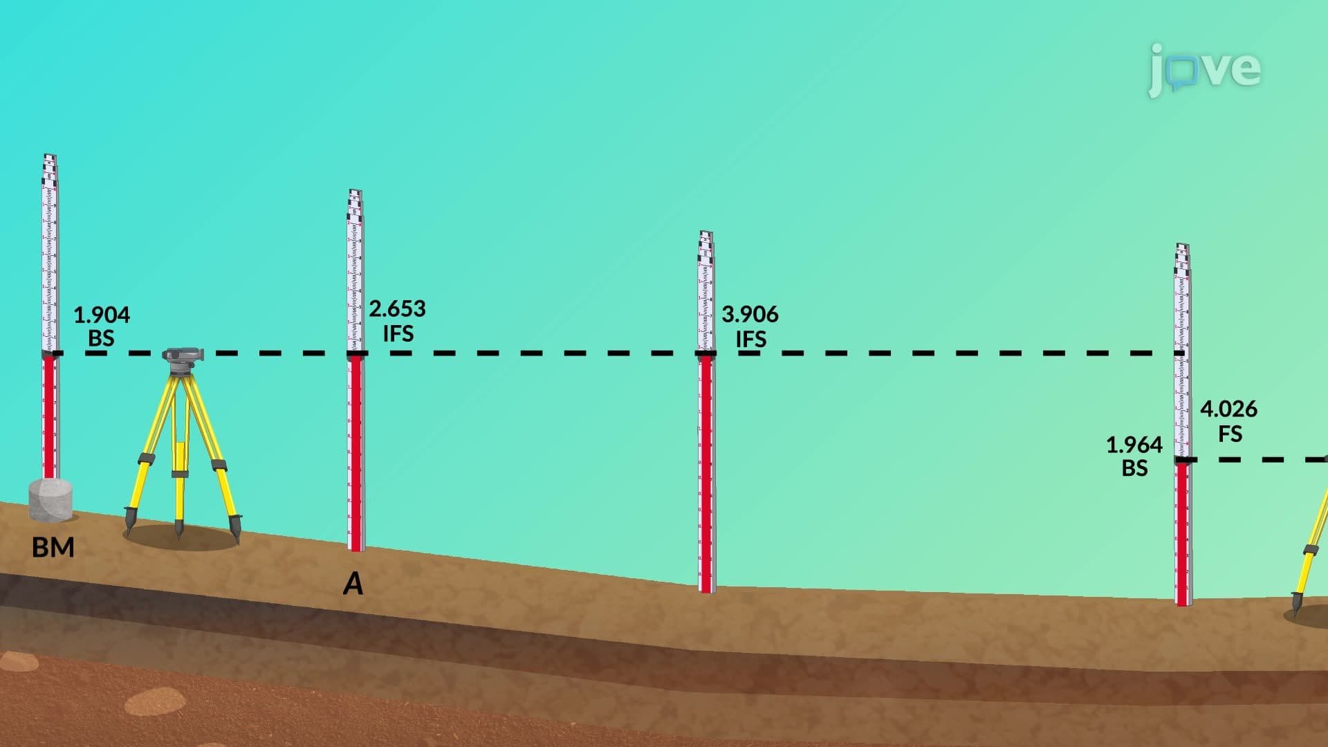
The differential leveling process involves strategic instrument positioning and careful measurement recording. Surveyors begin by establishing the height of instrument (HI) using a backsight reading to a known benchmark. This creates a horizontal reference plane from which all subsequent measurements are calculated.
As distances increase, the surveyor must "leap-frog" the leveling instrument forward, using intermediate turning points to maintain measurement continuity. Each setup requires both a backsight (reading back to the previous point) and a foresight (reading forward to the next point). This systematic progression ensures that cumulative errors don't compound while maintaining the precision needed to account for Earth's curvature.
The influence of earth's curvature becomes mathematically significant at distances exceeding 300 feet, where the curvature correction equals approximately 0.024 times the distance squared (in thousands of feet). Additionally, atmospheric refraction bends light rays, typically reducing the apparent curvature effect by about 14%. Combined, these factors create a net correction of roughly 0.021 times the distance squared.
For instance, when surveying across San Francisco Bay (approximately 4.5 miles), the curvature and refraction correction would amount to nearly 2.5 feet-a substantial error that differential leveling techniques must address through proper measurement procedures and mathematical corrections.
Differential leveling proves essential in major U.S. infrastructure projects. The California High-Speed Rail project relies on differential leveling to maintain precise grade requirements across hundreds of miles of terrain. Similarly, the U.S. Army Corps of Engineers uses these techniques for flood control projects along the Mississippi River, where accurate elevation data determines levee heights and flood protection effectiveness.
Students preparing for the Fundamentals of Engineering (FE) exam or surveying courses in civil engineering programs will encounter differential leveling problems requiring both conceptual understanding and practical calculation skills. AP Environmental Science students also benefit from understanding how these techniques support watershed management and environmental monitoring projects.
Related Micro-courses