Loading video…


 6 Concepts
 2.8K views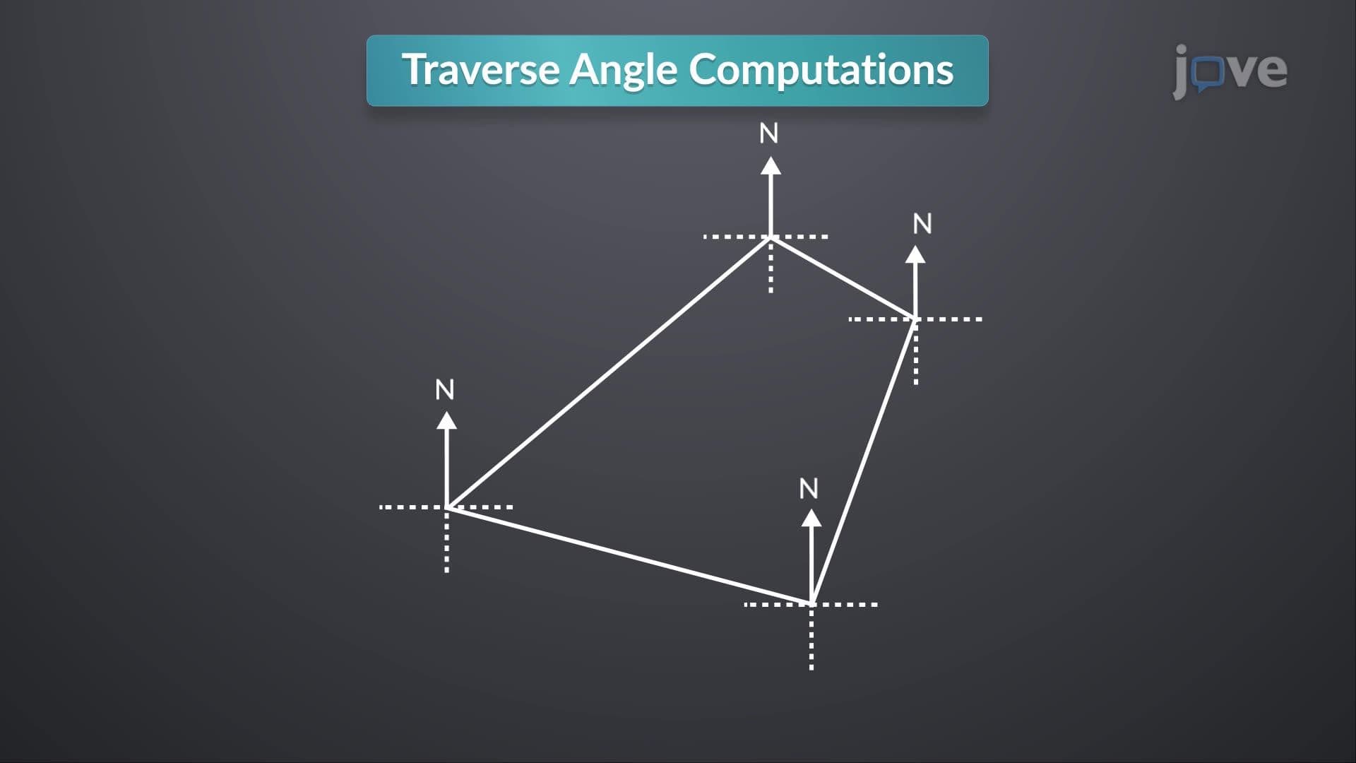

Video Summary: Design Example Traverse Angle Computations Explained
Did you know that surveying errors in major US infrastructure projects like the Big Dig tunnel in Boston cost millions to correct? Adjusting a traverse is the fundamental surveying technique that prevents such costly mistakes by ensuring accurate angle measurements in closed polygonal surveys. This Design Example Traverse Angle Computations Explained demonstrates how surveyors calculate internal angles using azimuth and bearing data to verify measurement accuracy. Watch the full video on JoVE Coach to master this concept with expert-led visuals and step-by-step explanations.
Traverse angle computations form the backbone of accurate surveying, a skill essential for civil engineering students preparing for the Fundamentals of Engineering (FE) exam and professional practice. In surveying, a traverse is a series of connected straight lines with measured lengths and directions, creating a closed polygon that represents property boundaries, construction sites, or topographical features.
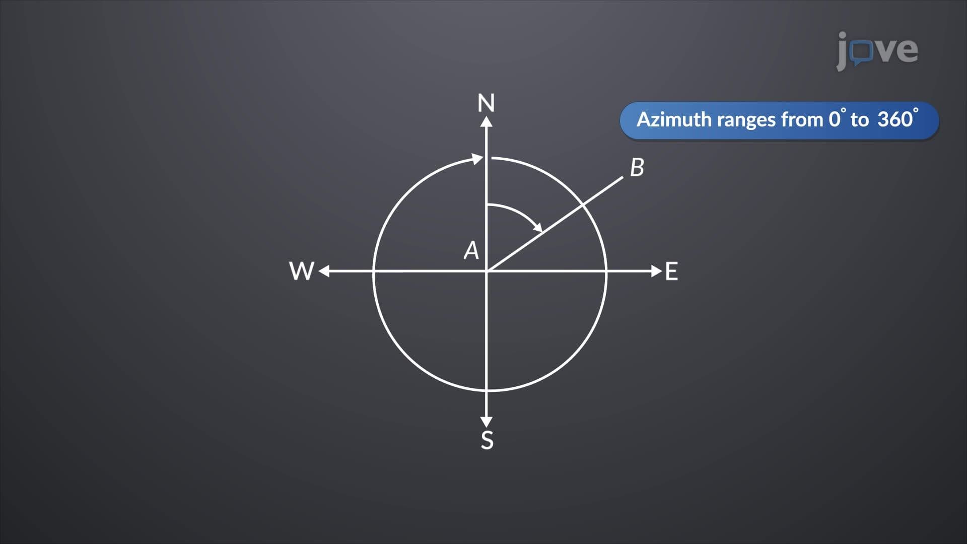
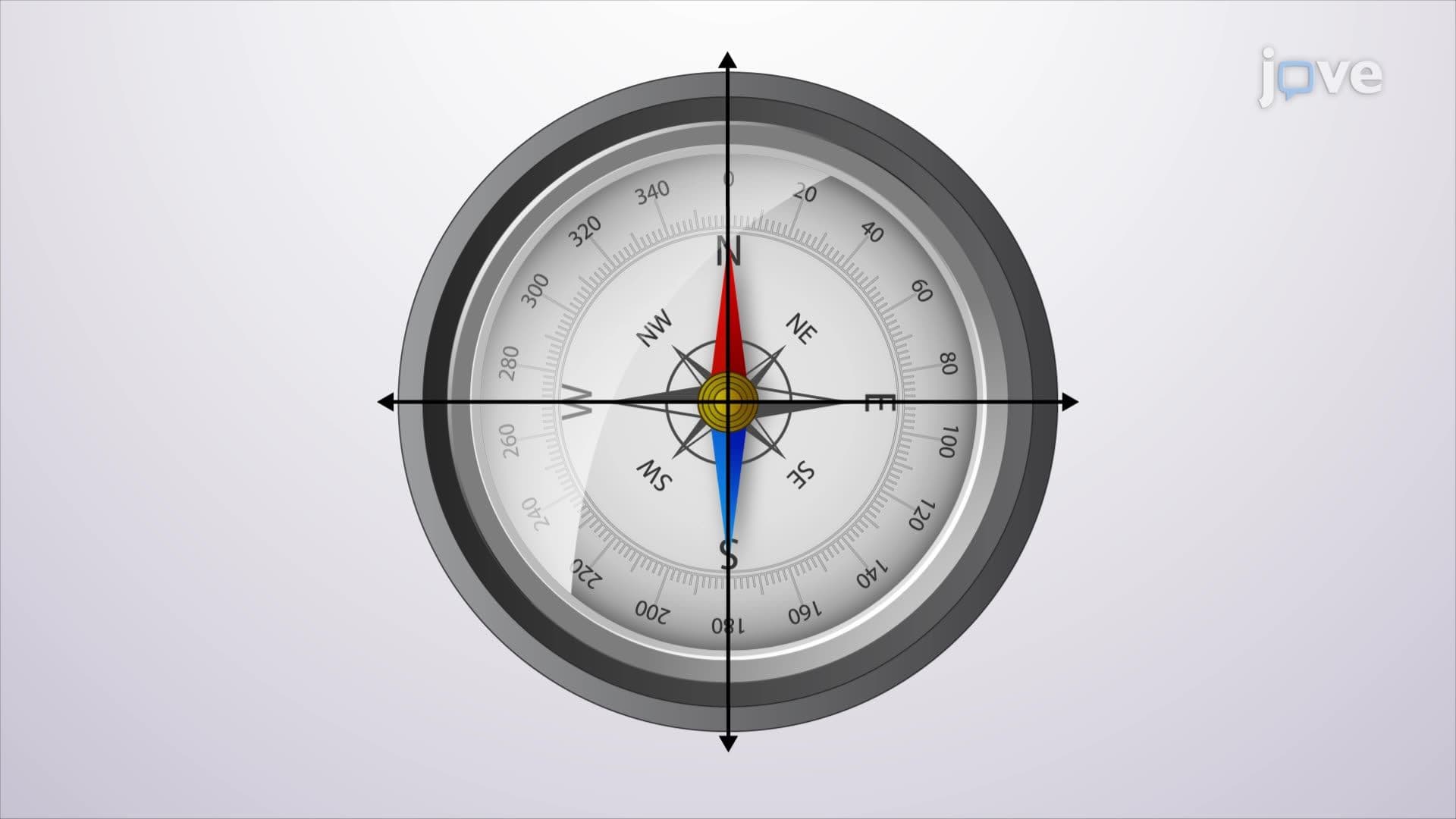
The computation process relies on understanding the relationship between azimuths (angles measured clockwise from north) and bearings (angles measured from north or south toward east or west). For any vertex in a closed traverse, the internal angle can be calculated using geometric principles that account for the directional measurements of adjacent sides.
When working with azimuth data, the internal angle at a vertex equals 180° minus the difference between consecutive azimuths (when moving counterclockwise). For bearing calculations, the approach varies depending on the quadrant orientations of the adjacent sides. Students preparing for AP Physics or college-level surveying courses should practice converting between these measurement systems, as exam problems often require flexibility in handling both formats.
The critical validation step involves checking that all calculated internal angles sum to (n-2) × 180°, where n represents the number of vertices. For a quadrilateral traverse, this theoretical sum equals 360°. This verification process, fundamental to adjusting a traverse definition, ensures computational accuracy and identifies potential measurement errors before they propagate through subsequent calculations.
In professional surveying practice, organizations like the American Congress on Surveying and Mapping emphasize the importance of systematic traverse adjustment procedures. When students understand adjusting a traverse in detail, they appreciate how small angular errors can compound across large survey networks. For example, a 30-second angular error in a property boundary survey could result in significant acreage discrepancies, leading to legal disputes and financial losses.
Modern surveying technology, including GPS and total stations, has enhanced measurement precision, but understanding manual traverse adjustment remains crucial for validating electronic measurements and troubleshooting equipment malfunctions. Students studying adjusting a traverse concept should practice both manual calculations and electronic verification methods to develop comprehensive surveying competency.
Related Micro-courses