Loading video…


 6 Concepts
 2.8K views

Video Summary: What Is Magnetic Declination
Did you know that your smartphone compass might be off by up to 20 degrees depending on where you are in the United States? Local attraction and magnetic declination work together to create these navigational challenges that affect everything from hiking in Yellowstone National Park to urban surveying in Manhattan. What is magnetic declination reveals how Earth's magnetic field creates systematic compass errors that professionals must correct for accurate navigation. Watch the full video on JoVE Coach to master this concept with expert-led visuals and step-by-step explanations.
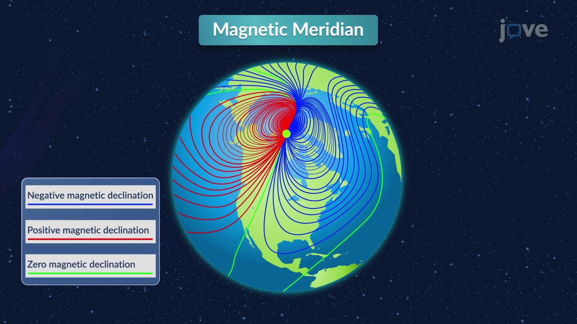
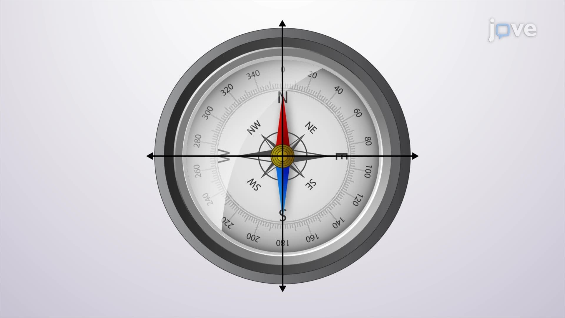
What is magnetic declination represents one of the fundamental challenges in navigation and surveying. Unlike a simple compass error, magnetic declination is the systematic angular difference between true north (the direction to Earth's geographic North Pole) and magnetic north (the direction a compass needle points). This phenomenon occurs because Earth's magnetic poles don't align with its geographic poles, creating predictable but location-specific compass deviations.
The local attraction definition encompasses both magnetic declination and localized magnetic disturbances. While magnetic declination affects entire regions consistently, local attraction includes additional factors like nearby iron deposits, steel buildings, or power lines that can further deflect compass needles. Understanding this distinction is crucial for students preparing for AP Environmental Science or college-level geology courses.
Magnetic declination varies dramatically across the continental United States. In Maine, declination reaches approximately 17° West, meaning compass needles point 17 degrees west of true north. Conversely, in Washington State, declination is about 16° East. The agonic line-where declination equals zero-currently runs through the Great Lakes region, passing near Chicago and continuing south through Alabama.
What is local attraction in detail becomes particularly important in urban environments. Cities like Pittsburgh or Detroit, with extensive steel infrastructure, experience significant local magnetic disturbances that compound the regional declination. This complexity explains why professional surveyors use GPS systems and mathematical corrections rather than relying solely on magnetic compasses.
Magnetic declination isn't static-it changes predictably over time through secular variation. This long-term shift occurs because Earth's magnetic field continuously evolves as molten iron moves within the planet's core. The secular variation follows roughly 150-year cycles, with declination values shifting several arc-minutes annually.
For college students studying surveying or geology, understanding secular variation is essential for interpreting historical maps and updating property boundaries. The U.S. Geological Survey maintains detailed records of these changes, enabling surveyors to correct old survey data for modern applications. This concept frequently appears in MCAT physics sections and engineering fundamentals courses.
Professional applications of magnetic declination corrections are extensive throughout American industries. Forest Service fire crews use declination-corrected compasses for wildfire management in places like Montana's Glacier National Park. Urban planners in cities like Phoenix must account for both regional declination and local attraction when establishing new developments near mining operations or industrial facilities.
The local attraction study guide for most surveying programs emphasizes practical calculation methods using NOAA's online magnetic declination calculator. This tool requires only latitude, longitude, and date inputs to provide accurate declination values essential for converting magnetic bearings to true bearings-a skill tested in surveying licensing examinations across all 50 states.
Related Micro-courses