Loading video…


 6 Concepts
 2.8K views

Video Summary: What Is Local Attraction
Did you know that your smartphone's compass can be thrown off by as much as 30 degrees just by standing near a parked car? Design example traverse angle computations become critical when surveyors encounter local attraction, magnetic interference that skews compass readings from nearby metal objects, power lines, or even underground pipes. Consider how GPS mapping for the Golden Gate Bridge construction required accounting for the bridge's own steel framework affecting magnetic instruments. What is local attraction represents a fundamental challenge in surveying accuracy that affects everything from property boundary disputes to infrastructure projects. Watch the full video on JoVE Coach to master this concept with expert-led visuals and step-by-step explanations.
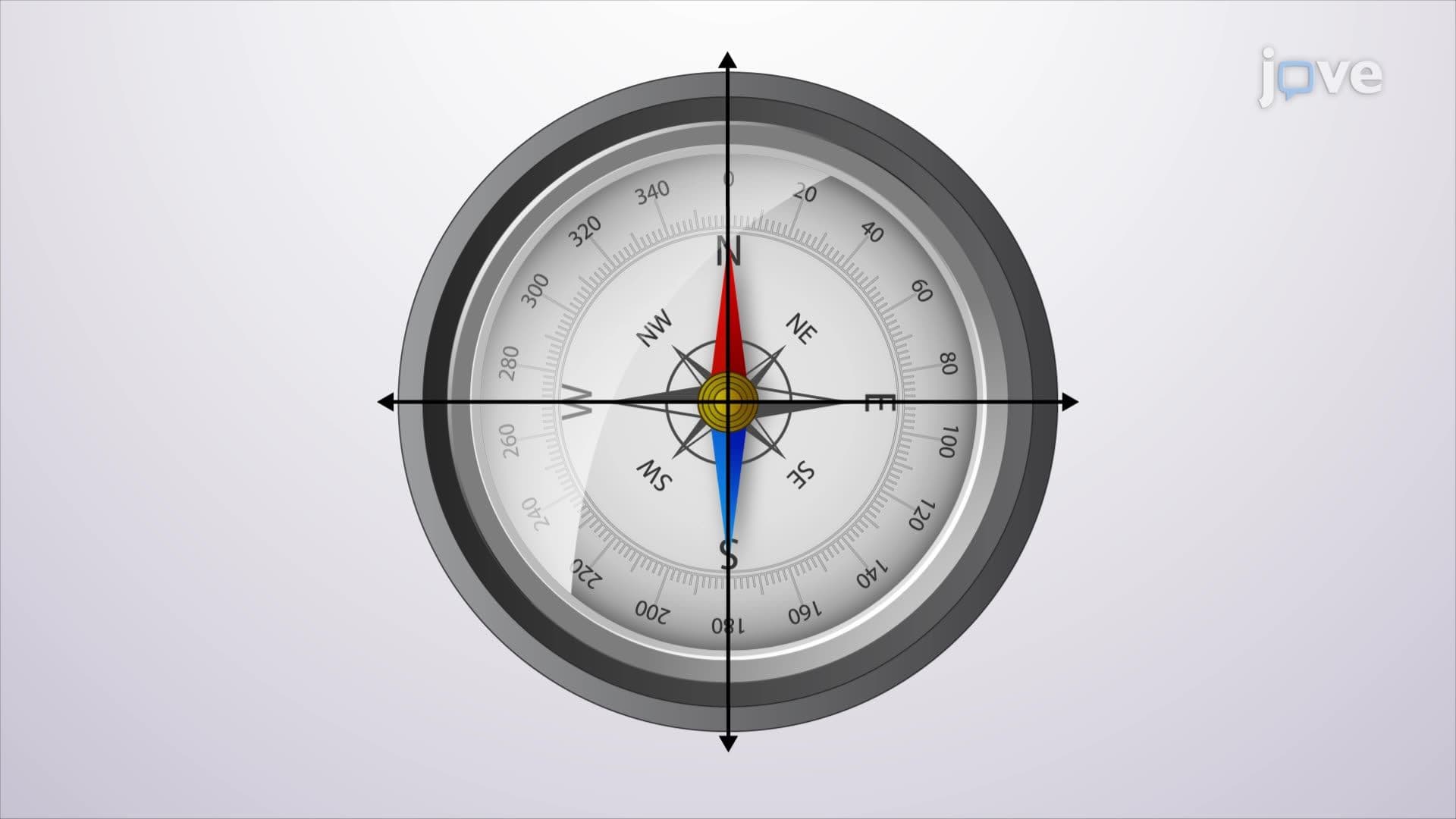
Local attraction represents one of the most significant challenges in magnetic surveying, affecting the precision of design example traverse angle computations across countless projects. When surveyors establish property boundaries for residential developments in states like California or Texas, they must account for magnetic interference from nearby infrastructure that can throw off compass readings by several degrees.
The phenomenon occurs when ferromagnetic materials create localized magnetic fields that interfere with Earth's natural magnetic field. Major sources include overhead power transmission lines (common along interstate highways), buried utility pipes in urban areas, and vehicles parked near survey sites. Natural sources like iron ore deposits in regions such as Minnesota's Iron Range can affect surveying operations across several square miles.
Students preparing for AP Physics or college-level surveying courses should understand that even small objects create measurable interference. A surveyor's steel measuring tape or smartphone can deflect compass readings within a 10-foot radius. This concept frequently appears in design example traverse angle computations tutorial problems where students must identify potential interference sources.
The standard detection method involves comparing forward and back bearings along survey lines. In ideal conditions, these readings should differ by exactly 180 degrees. When local attraction influences one station but not another, this relationship breaks down. For instance, if a forward bearing reads 45°30' and the back bearing reads 225°45', the 15-minute discrepancy indicates magnetic interference.
Professional surveyors working on projects like highway construction or municipal boundary establishment use this technique routinely. The design example traverse angle computations concept becomes essential for distinguishing between systematic errors (affecting all readings equally) and localized disturbances (affecting specific stations).
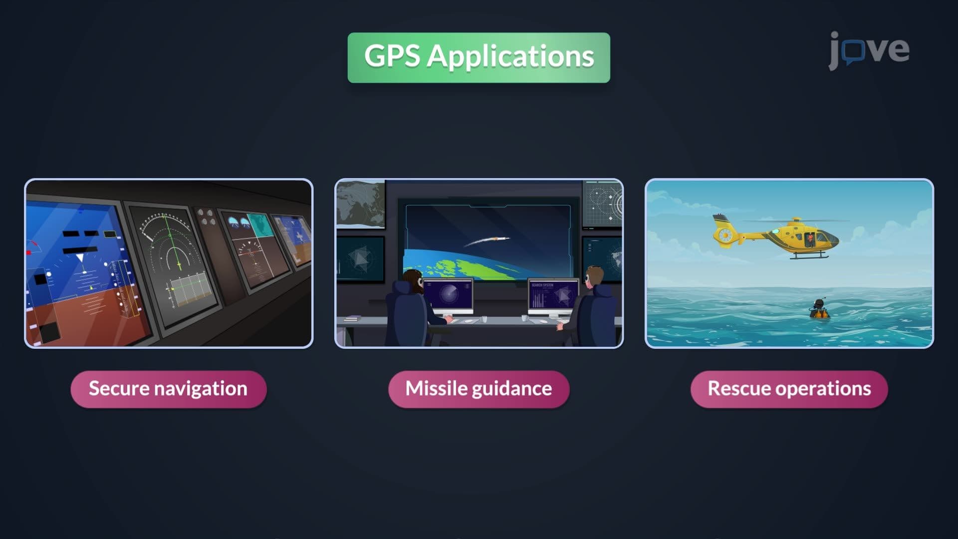
Establishing reference points beyond the influence of magnetic disturbances allows surveyors to isolate errors to specific locations. This approach proves crucial for large-scale projects like airport runway surveys or coastal development where accuracy requirements are stringent. Modern GPS technology has reduced reliance on magnetic bearings, but understanding local attraction remains fundamental for backup systems and areas where satellite coverage is compromised.
Related Micro-courses