Loading video…


 6 Concepts
 1.2K views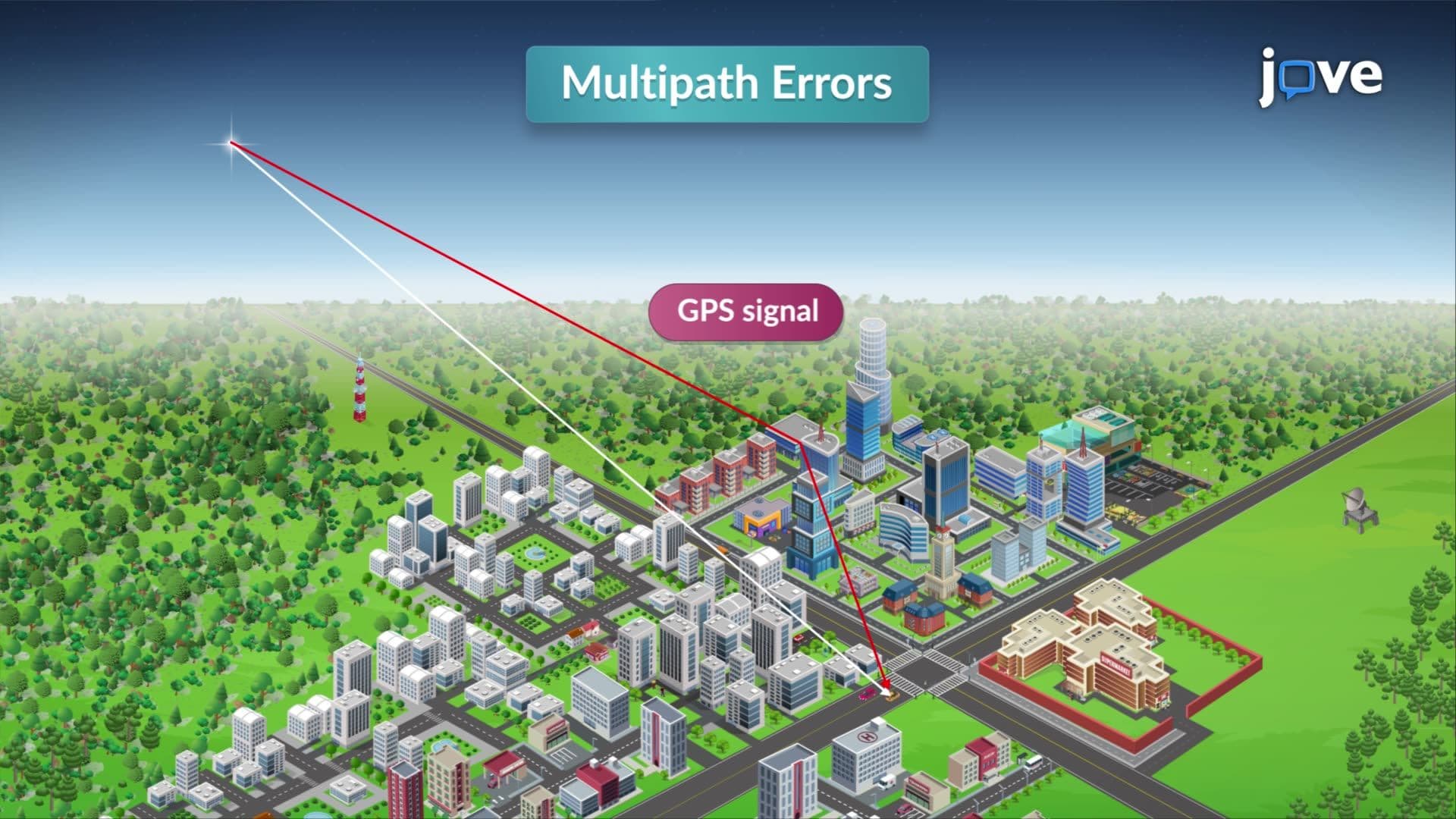

Video Summary: Errors in Global Positioning System Explained
Did you know that your smartphone's GPS can be off by several meters even on a clear day? Understanding the geoid and ellipsoid relationship is crucial for grasping why GPS systems encounter systematic errors in positioning accuracy. The Federal Aviation Administration relies on precise GPS corrections to safely guide aircraft landings at major airports like LAX, where even small positioning errors could prove catastrophic. Errors in Global Positioning System Explained reveals how atmospheric interference, signal reflection, and satellite imperfections create measurement challenges that engineers must constantly address. Watch the full video on JoVE Coach to master this concept with expert-led visuals and step-by-step explanations.
GPS technology revolutionized navigation and surveying, but achieving centimeter-level accuracy requires understanding complex error sources. The geoid and ellipsoid relationship forms the foundation for understanding why GPS measurements differ from ground truth positions. The ellipsoid represents Earth's idealized mathematical shape, while the geoid approximates mean sea level's irregular surface affected by gravitational variations.
Atmospheric interference represents the largest GPS error source, particularly affecting students taking AP Physics or college-level surveying courses. The ionosphere, extending from 50 to 1,000 kilometers altitude, contains charged particles that slow GPS signals proportionally to electron density. Solar activity dramatically increases ionospheric interference-during the 2003 Halloween solar storms, GPS accuracy degraded by over 10 meters across North America. The troposphere causes additional delays through water vapor and temperature variations, with effects varying by geographic location and weather patterns.
Modern dual-frequency GPS receivers combat atmospheric errors by transmitting on both L1 (1575.42 MHz) and L2 (1227.60 MHz) frequencies. Since ionospheric delay varies inversely with frequency squared, comparing arrival times enables atmospheric correction calculations.
Multipath errors occur when GPS signals reflect off surfaces before reaching receivers, creating false distance measurements. Urban environments like downtown Manhattan create "urban canyons" where signals bounce between skyscrapers, potentially causing 5-15 meter positioning errors. Water bodies present unique challenges-surveys near the Great Lakes often require specialized techniques to minimize reflection-induced errors.
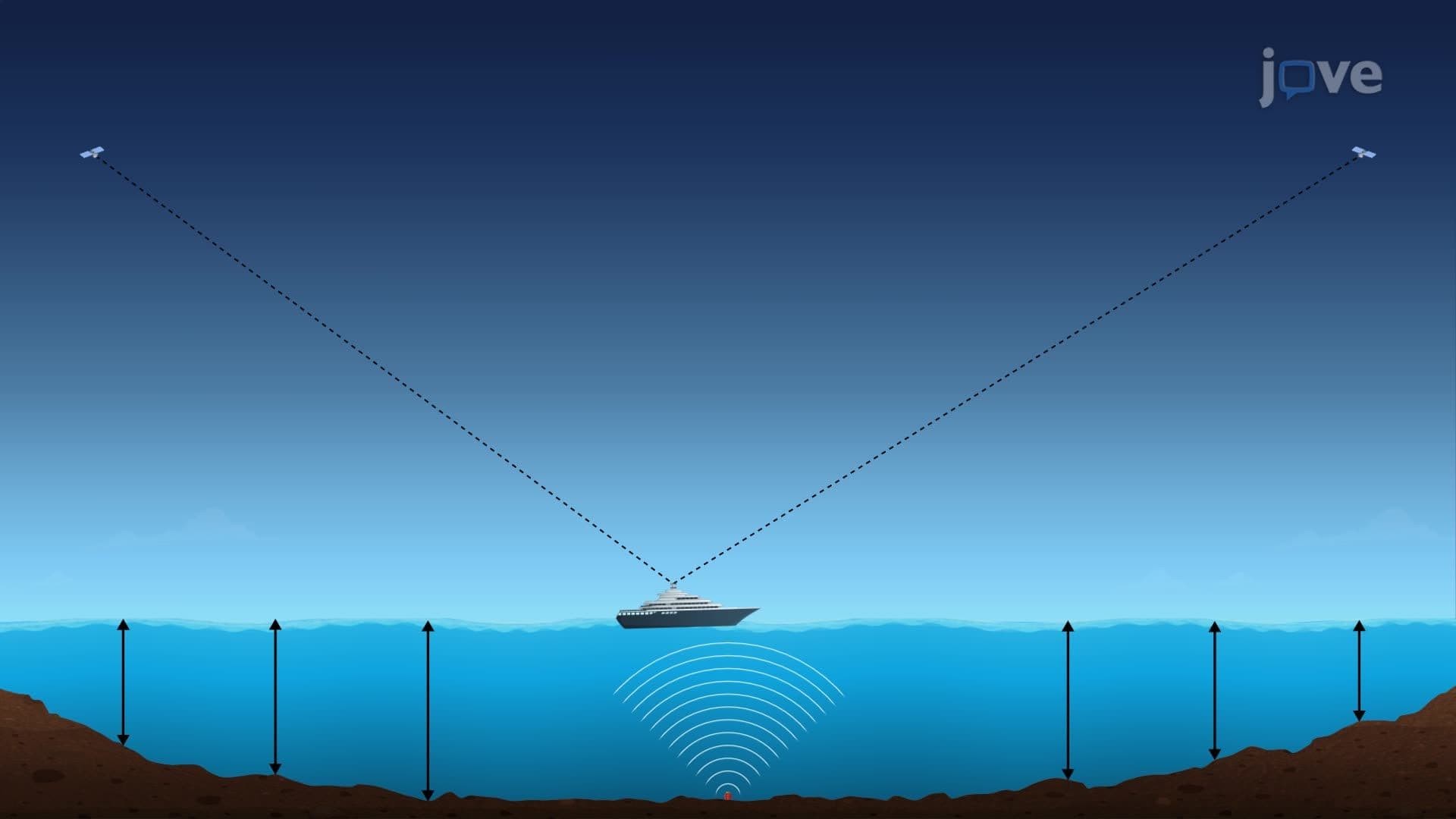
The US Coast Guard's Differential GPS (DGPS) system addresses multipath and other errors by broadcasting corrections from known reference stations. This system achieves 1-3 meter accuracy for maritime navigation along US coastlines.
Satellite clock drift, though corrected to nanosecond precision, still introduces measurable errors. The GPS Control Segment, operated by the US Space Force from Colorado Springs, continuously monitors and corrects satellite clock discrepancies. Ephemeris errors result from imperfect orbital predictions-gravitational perturbations from the Moon, Sun, and Earth's irregular mass distribution affect satellite positions.
Professional surveyors often use Real-Time Kinematic (RTK) GPS systems, achieving centimeter accuracy for applications like precision agriculture in states like Iowa and Nebraska, where property boundaries worth millions per acre demand exceptional accuracy.
Related Micro-courses