Loading video…


 6 Concepts
 1.2K views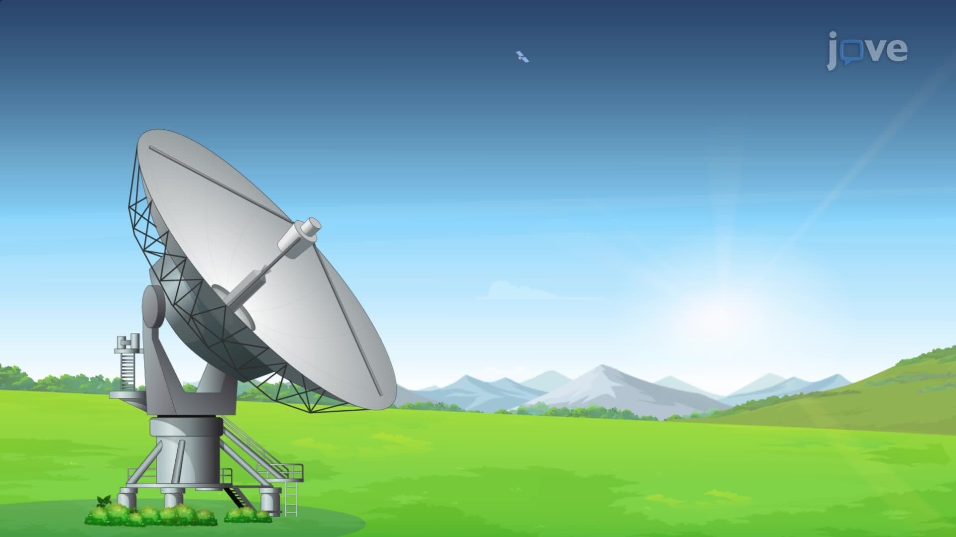

Video Summary: Field Application of Global Positioning System Explained
Did you know that GPS satellites orbiting 12,000 miles above Earth can pinpoint your exact location within just one meter? Understanding the types of global positioning systems and their field applications is crucial for careers in surveying, engineering, and environmental science. From helping civil engineers map construction sites in Texas to assisting geologists conduct field research in California's national parks, the Field Application of Global Positioning System Explained demonstrates how modern GPS technology transforms real-world data collection and navigation challenges. Watch the full video on JoVE Coach to master this concept with expert-led visuals and step-by-step explanations.
GPS technology revolutionizes how professionals collect spatial data across industries from agriculture to urban planning. The system operates through a constellation of 24+ satellites that continuously broadcast precise timing signals, enabling receivers to calculate their three-dimensional position through trilateration. This types of global positioning technology has become indispensable for modern surveying, where accuracy within centimeters can mean the difference between project success and costly errors.
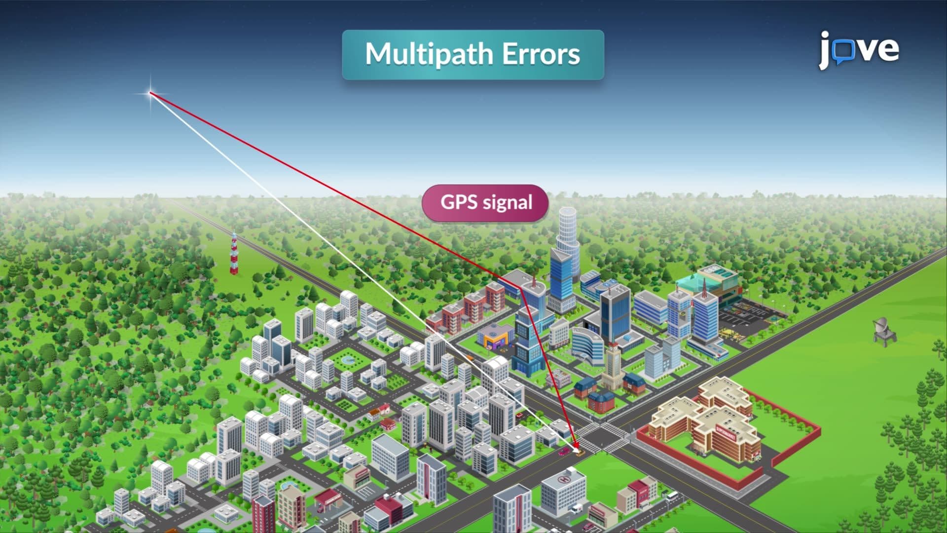
Modern GPS receivers represent significant technological advancement over earlier models. Today's units are compact, energy-efficient devices capable of maintaining accuracy even in challenging field conditions. The key to optimal performance lies in understanding satellite geometry and signal acquisition. For reliable measurements, GPS antennas must maintain clear sight lines to satellites positioned at least 15-20 degrees above the horizon. This requirement explains why GPS professionals often use portable towers or elevated mounting systems when working in forested areas or urban environments with significant obstruction.
PDOP values serve as critical indicators of GPS measurement quality, with lower values indicating better satellite geometry and higher precision. Professional surveyors regularly monitor PDOP throughout the day to identify optimal observation windows. For instance, when establishing control points for a highway construction project in Arizona, engineers might schedule GPS sessions during periods when PDOP values drop below 3.0, ensuring survey-grade accuracy. This strategic approach to types of global positioning measurements directly impacts project timelines and data reliability.
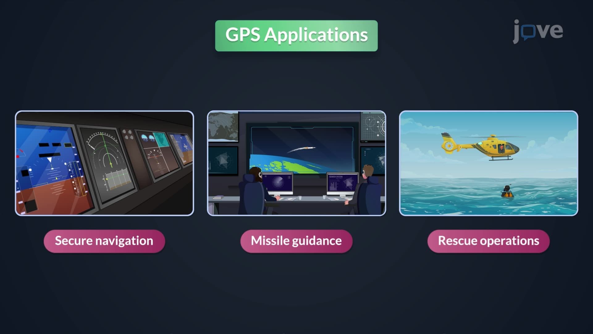
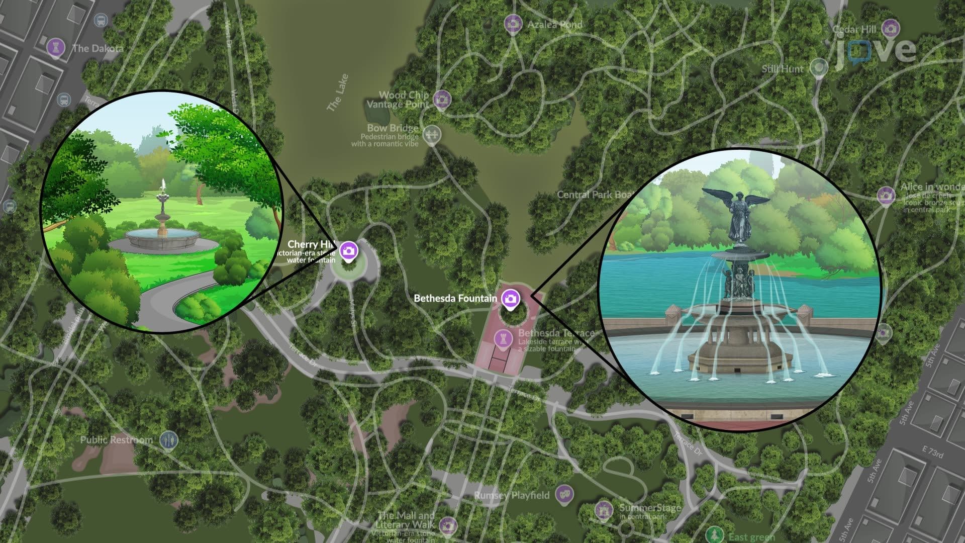
GPS finds extensive application in diverse field scenarios across the United States. Environmental scientists use GPS to map ecosystem boundaries in Yellowstone National Park, while urban planners rely on the technology for infrastructure development in cities like Seattle and Denver. The technology proves particularly valuable in establishing precise control networks for large-scale mapping projects, where traditional surveying methods would be time-prohibitive or impossible.
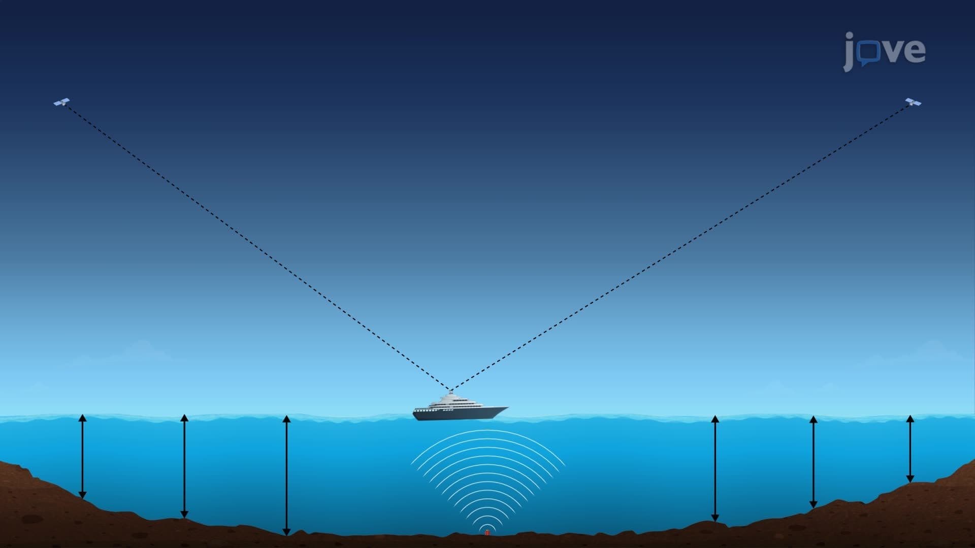
Students preparing for AP Environmental Science or college-level geography courses should understand that GPS applications extend beyond simple navigation. The technology enables precision agriculture, archaeological site mapping, and disaster response coordination. However, professionals must also recognize GPS limitations-signals cannot penetrate water bodies, underground spaces, or dense building materials, necessitating alternative positioning methods in these environments.
Related Micro-courses