Loading subject page…


1,195 views

Video Summary: What Is Geoid and Ellipsoid
Ever wonder why GPS coordinates don't always match the elevation on your hiking map? The field application of global positioning system technology relies on understanding two critical Earth models: the geoid and ellipsoid. While your smartphone GPS uses an ellipsoid model (a mathematically perfect, slightly flattened sphere), real-world applications like flood mapping in Louisiana require conversion to the geoid, which follows actual gravitational forces and mean sea level. This fundamental difference affects everything from civil engineering projects to precision agriculture across the United States. Watch the full video on JoVE Coach to master this concept with expert-led visuals and step-by-step explanations.
The field application of global positioning system technology depends entirely on understanding how we mathematically represent Earth's complex shape. While our planet appears spherical from space, precise measurements reveal a more nuanced reality requiring two distinct models: the ellipsoid and the geoid.
The ellipsoid represents Earth as a smooth, mathematically perfect shape created by rotating an ellipse around its shorter axis. This creates an "oblate spheroid", essentially a sphere flattened at the poles. The polar diameter measures approximately 21 kilometers shorter than the equatorial diameter, reflecting Earth's rotation-induced bulging at the equator.
Modern GPS systems, including those used by smartphone apps and professional surveying equipment across the United States, reference the World Geodetic System 1984 (WGS84) ellipsoid. This standardized model enables consistent global positioning calculations. When your GPS device displays coordinates, it's measuring your position relative to this smooth, idealized Earth surface.
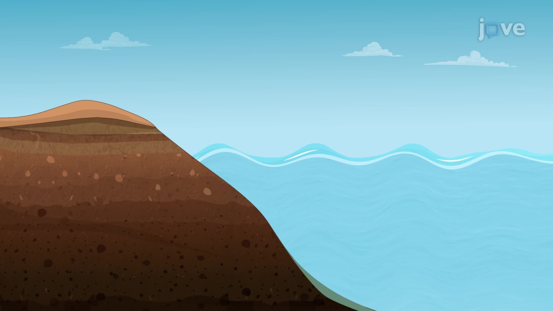
Unlike the mathematical perfection of the ellipsoid, the geoid represents Earth's actual gravitational field. This irregular surface closely follows mean sea level across oceans and extends this equipotential surface across continents. At every point on the geoid, gravity acts perpendicular to the surface, a critical property for traditional surveying and engineering applications.
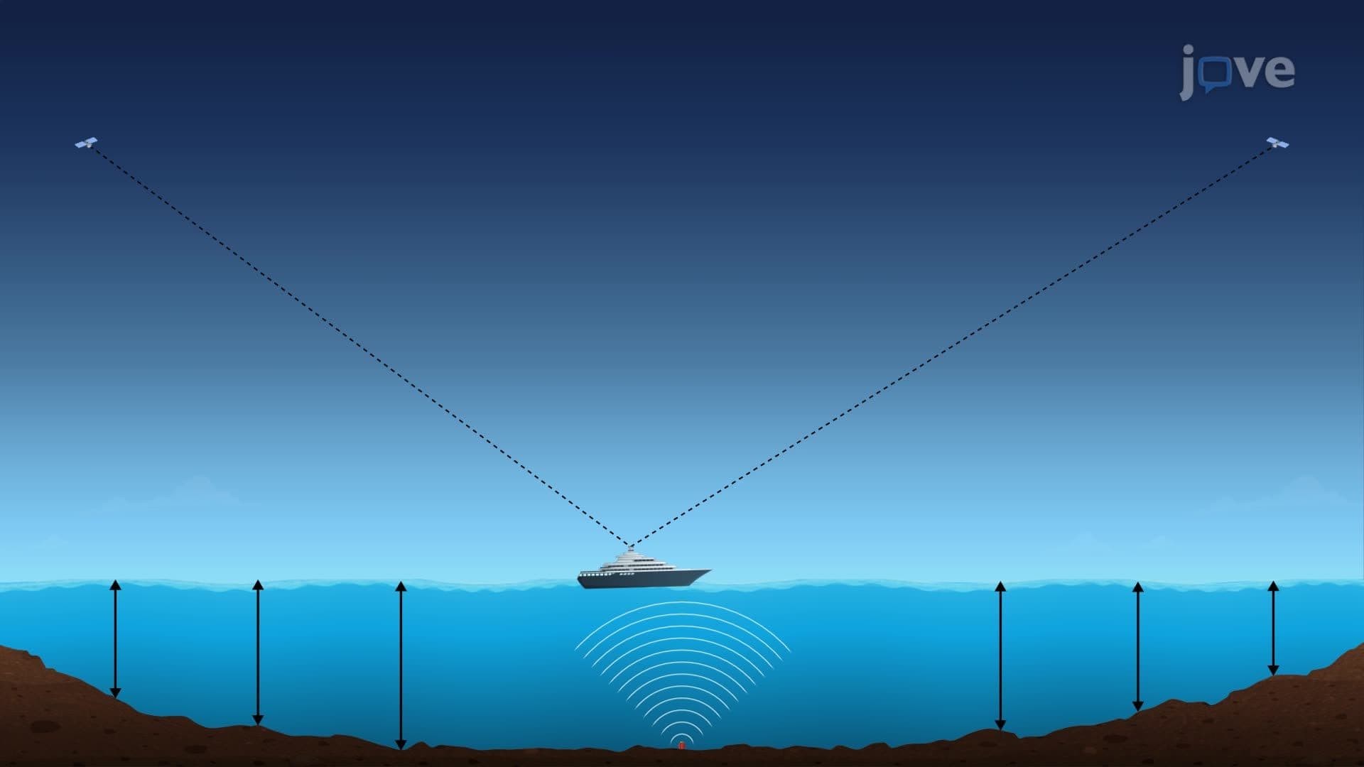
The geoid's irregularity stems from variations in Earth's mass distribution. Dense rock formations, mountain ranges, and ocean trenches all influence local gravitational fields, causing the geoid to undulate up to 100 meters above or below the smooth ellipsoid surface. These variations significantly impact precision applications like flood plain mapping along the Mississippi River or coastal engineering projects in Florida.
For students preparing for AP Environmental Science or college-level geography courses, understanding these concepts proves essential for interpreting topographic data and satellite imagery. Civil engineering programs at universities like MIT and Stanford extensively cover coordinate transformations between ellipsoid and geoid references.
Professional applications include precision agriculture in Iowa corn fields, where GPS-guided tractors require geoid corrections for accurate field operations, and construction projects like California's high-speed rail system, where millimeter-level accuracy demands proper coordinate system understanding.
Related Micro-courses