Loading video…


 6 Concepts
 1.2K views

Video Summary: Design Example Identifying the Locations Explained
Ever wondered how emergency responders find your exact location during a 911 call? GIS (Geographic Information System) technology makes this possible by combining GPS data with detailed mapping systems. When the National Park Service needs to document monument locations for preservation projects, surveyors use sophisticated GIS workflows called Design Example Identifying The Locations Explained to ensure centimeter-level accuracy. This process integrates satellite positioning, geodetic models, and correction algorithms to create precise spatial records that support everything from archaeological surveys to urban planning initiatives. Watch the full video on JoVE Coach to master this concept with expert-led visuals and step-by-step explanations.
GIS definition encompasses far more than simple mapping software-it represents a comprehensive framework for capturing, analyzing, and visualizing spatial data with scientific precision. When surveyors tackle monument location projects, they demonstrate what is GIS in detail: a sophisticated integration of hardware, software, and methodologies that transform raw satellite signals into legally defensible coordinate systems.
Professional GIS workflows begin with strategic planning that considers orbital mechanics and signal propagation physics. Surveyors analyze satellite constellation patterns to identify optimal observation windows, typically seeking PDOP values below 3.0 for survey-grade accuracy. This GIS overview principle appears frequently on Advanced Placement (AP) Environmental Science exams, where students must understand how satellite geometry affects measurement precision.
The Federal Aviation Administration (FAA) uses similar protocols when establishing GPS approach procedures at airports like Denver International, where elevation accuracy directly impacts flight safety. College surveying programs emphasize this connection between theoretical GIS concepts and practical applications in infrastructure development.
GIS basics include understanding how static observation techniques minimize random errors through extended data collection periods. The 30-minute observation standard reflects statistical requirements for achieving centimeter-level accuracy, a concept that appears in college-level Geographic Information Systems courses and professional licensing examinations.
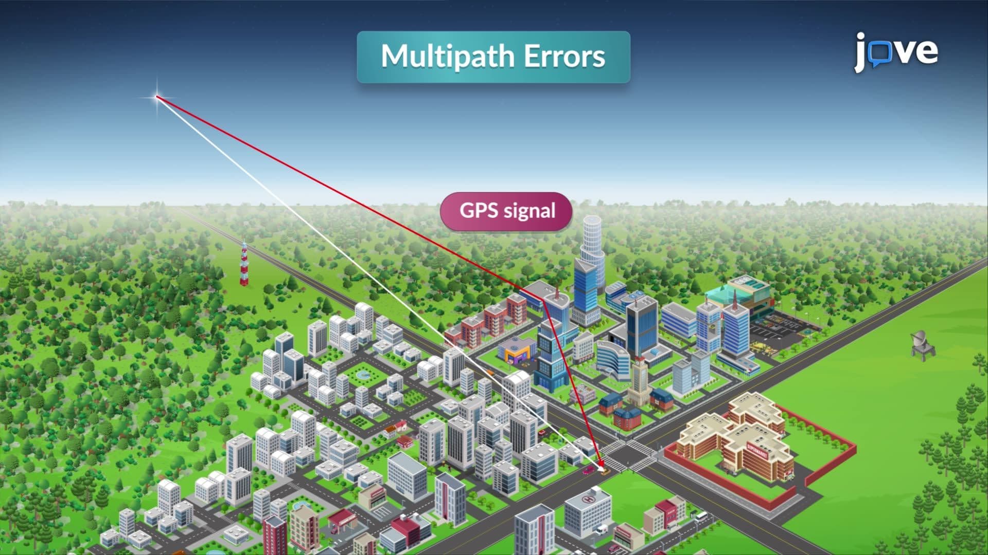
Correction software addresses systematic errors including ionospheric delays (caused by charged particles in Earth's upper atmosphere) and multipath effects (where signals bounce off nearby surfaces before reaching the receiver). The National Geodetic Survey employs these techniques when maintaining the National Spatial Reference System, which provides the coordinate framework for all US mapping activities.
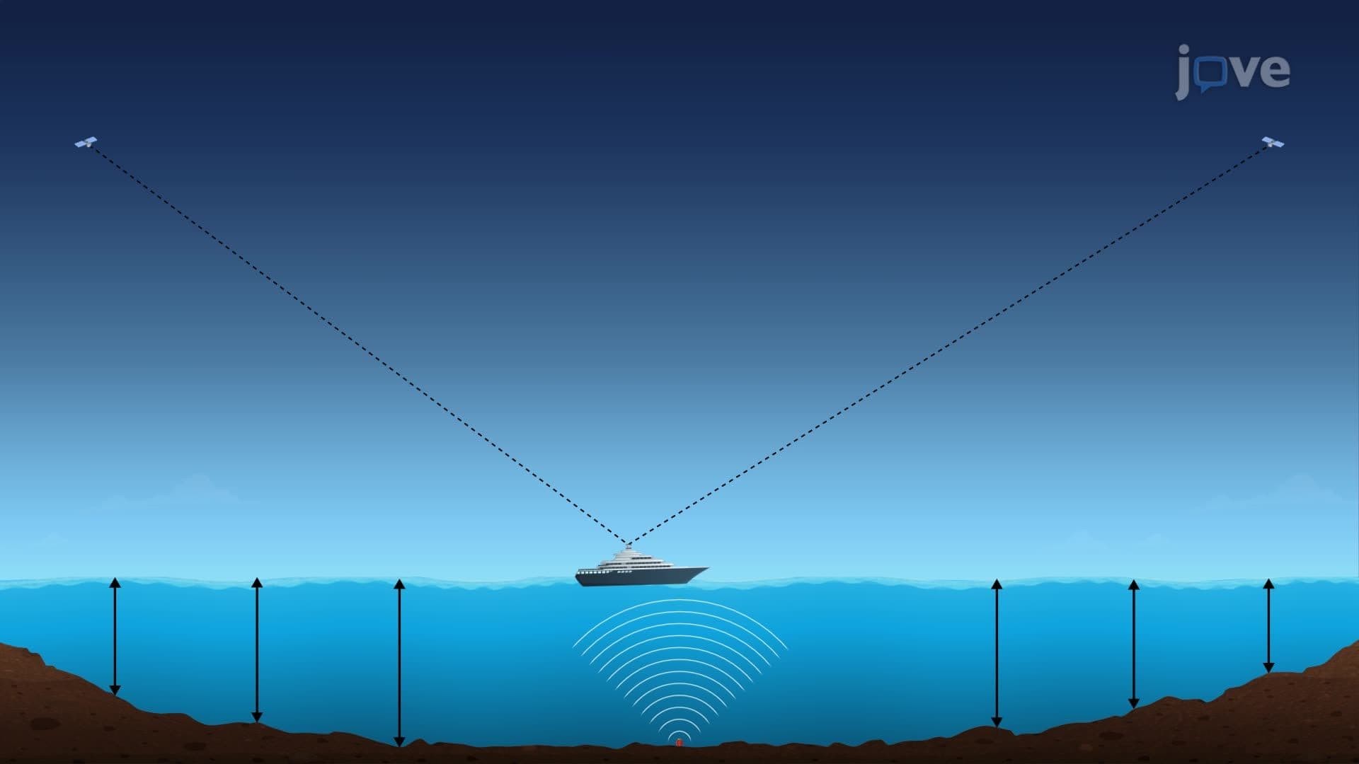
Understanding GIS requires grasping the relationship between GPS ellipsoidal heights and practical elevation systems. The North American Vertical Datum of 1988 (NAVD 88) provides the reference surface for elevation measurements throughout the United States. Surveyors use geoid models like GEOID18 to convert GPS heights into elevations that match traditional surveying benchmarks.
This GIS concept frequently appears in SAT Subject Tests and college entrance examinations, where students must demonstrate understanding of coordinate systems and datum transformations. Engineering programs at universities like MIT and Stanford integrate these principles into coursework covering transportation planning, flood modeling, and construction surveying applications.
Related Micro-courses