Loading subject page…


2,165 views

Video Summary: Elevation of Intermediate Points on Explained
Ever wonder how engineers ensure sight distance is safe on highways like I-95 when roads curve up and down hills? Proper sight distance calculations depend on understanding elevation of intermediate points on vertical curves, which determines whether drivers can see far enough ahead to stop safely. For example, on the steep grades approaching the Golden Gate Bridge, engineers must calculate precise elevations at every point to maintain adequate sight distance for vehicle safety. Watch the full video on JoVE Coach to master this concept with expert-led visuals and step-by-step explanations.
Elevation of intermediate points on represents one of the most critical calculations in highway engineering, directly impacting sight distance and overall roadway safety. When vehicles travel over hills or through valleys, the vertical alignment must provide sufficient sight distance for drivers to see obstacles, other vehicles, or stopping points ahead. This concept bridges fundamental geometry with practical engineering applications that keep millions of Americans safe on highways daily.
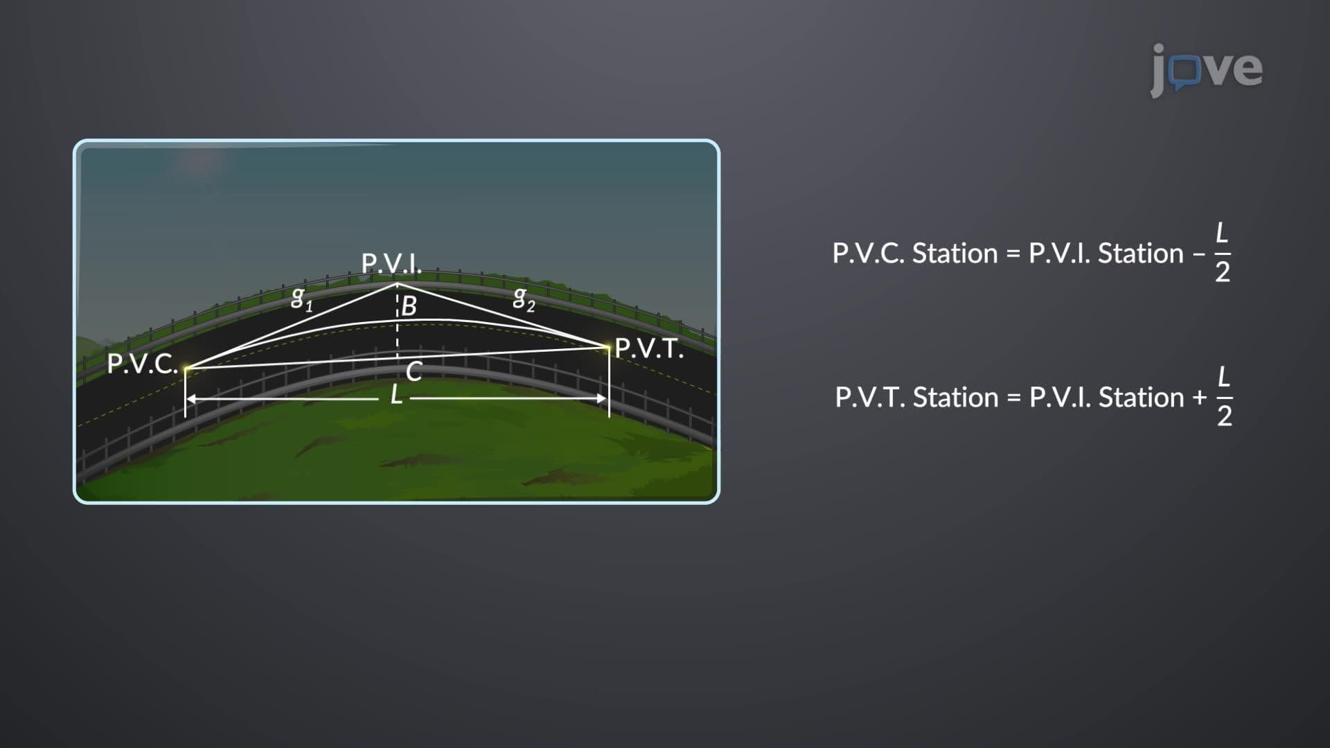
The tangent offset method serves as the cornerstone for calculating elevations at intermediate points along vertical curves. This mathematical approach considers three key variables: the initial elevation at the curve's beginning, the grades (slopes) of the approaching and departing tangent lines, and the curve's geometric properties. The relationship between these factors determines not only the elevation at any point but also the available sight distance for drivers.
Students preparing for AP Calculus or college-level engineering courses will recognize this as an application of quadratic functions in real-world contexts. The tangent offset follows a parabolic relationship, where the offset equals the square of the distance from the curve's start, multiplied by the grade change rate, then divided by twice the curve length. This formula appears frequently on engineering fundamentals exams and state licensing tests.
The highest or lowest point on a vertical curve-where the slope equals zero-represents the most critical location for sight distance analysis. At these points, drivers experience maximum or minimum sight distance, depending on whether they're cresting a hill (crest curve) or passing through a valley (sag curve). Engineers calculate this critical point's location by dividing the initial grade by the rate of grade change across the curve.
Real-world examples demonstrate this concept's importance. On Interstate 80 crossing the Sierra Nevada mountains in California, engineers must ensure adequate sight distance at every crest to prevent accidents during overtaking maneuvers. Similarly, the rolling hills of Pennsylvania's highways require careful elevation calculations to maintain sight distance standards established by the American Association of State Highway and Transportation Officials (AASHTO).
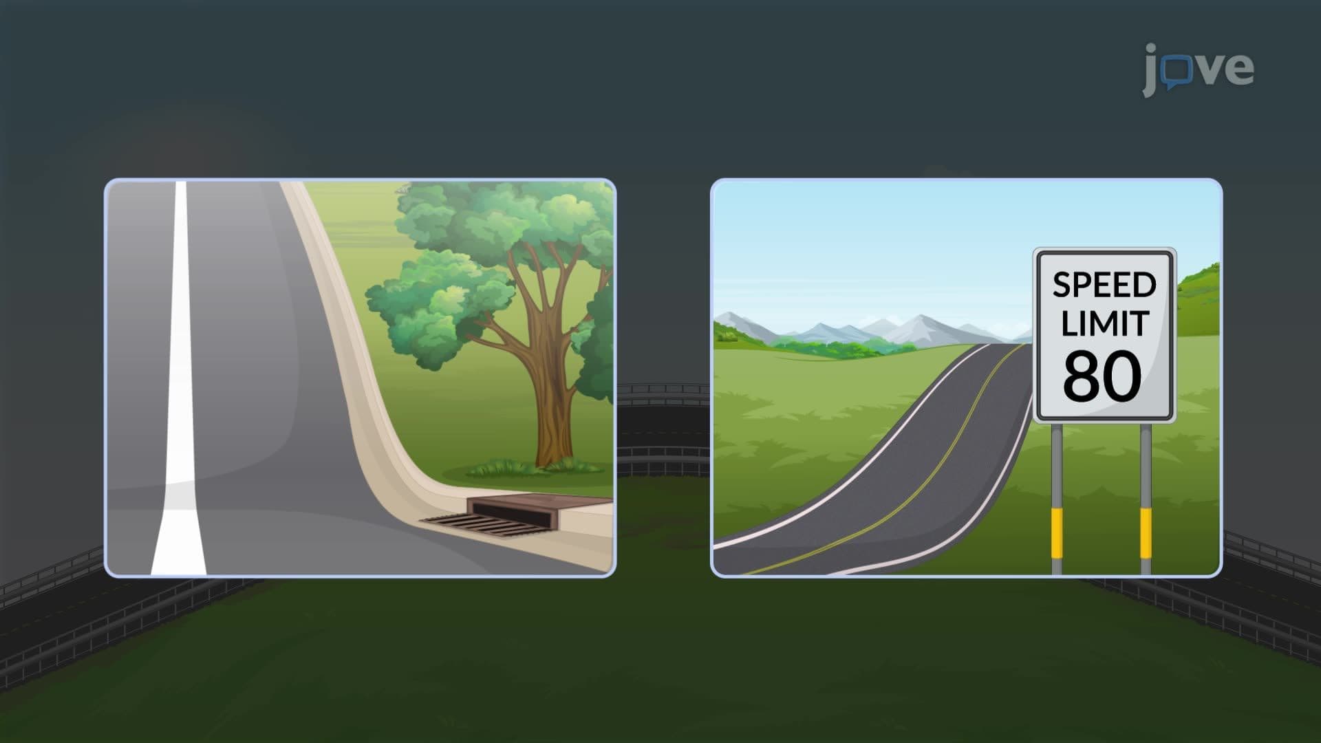
Modern highway design relies heavily on these elevation calculations for multiple purposes beyond basic sight distance. Drainage systems depend on precise elevation data to ensure proper water flow and prevent flooding. High-speed zones require extended sight distances, making accurate elevation calculations even more critical. The Federal Highway Administration mandates specific sight distance requirements based on design speeds, directly linking elevation calculations to federal safety standards.
Related Micro-courses