Loading subject page…


2,165 views

Video Summary: What Is Horizontal Curve Problem Solving
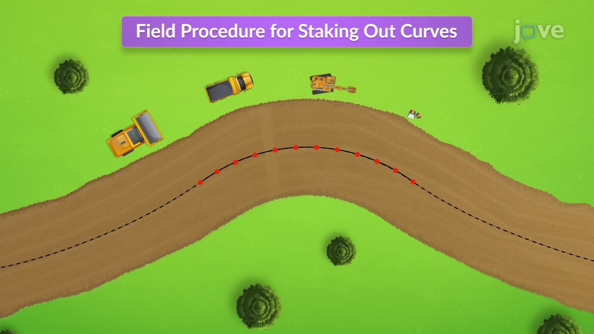
Did you know that every highway interchange you've driven through was designed using horizontal curve calculations? The field procedure for staking out curves begins with precise mathematical problem-solving to determine critical stations along curved roadways. Consider the complex interchange at Interstate 405 and Route 101 in Los Angeles-engineers used horizontal curve problem solving to calculate exact positioning points before any construction began. What is Horizontal Curve Problem Solving involves determining stations for points of curvature, intersection, and tangency using radius and angle measurements. Watch the full video on JoVE Coach to master this concept with expert-led visuals and step-by-step explanations.
What is Horizontal Curve Problem Solving represents a fundamental skill in surveying and civil engineering that bridges theoretical geometry with practical construction needs. This problem-solving approach involves calculating precise locations and measurements for curved sections of roads, railways, and pipelines. The field procedure for staking out curves relies heavily on these calculations to ensure accurate construction layout in the field.
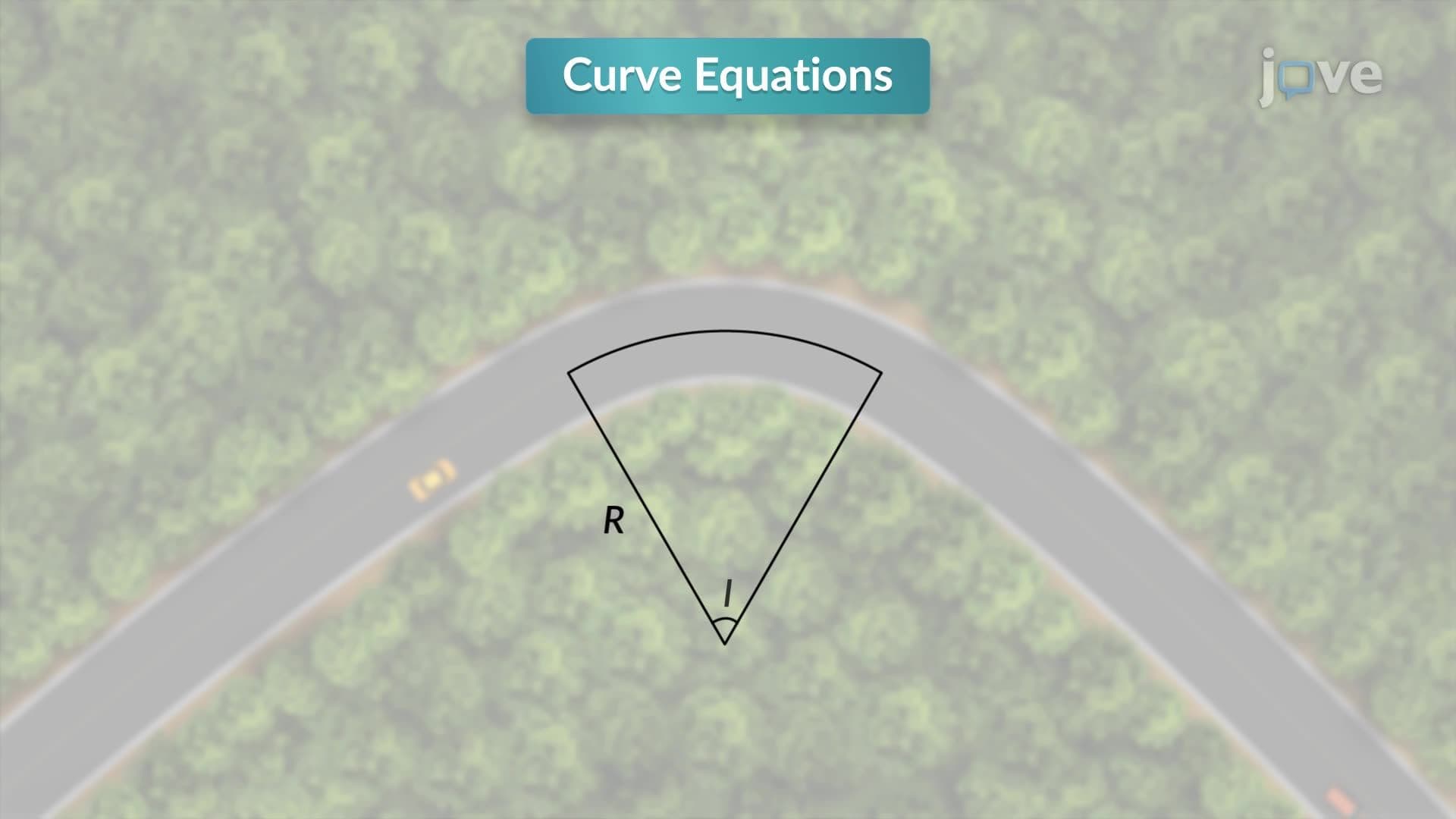
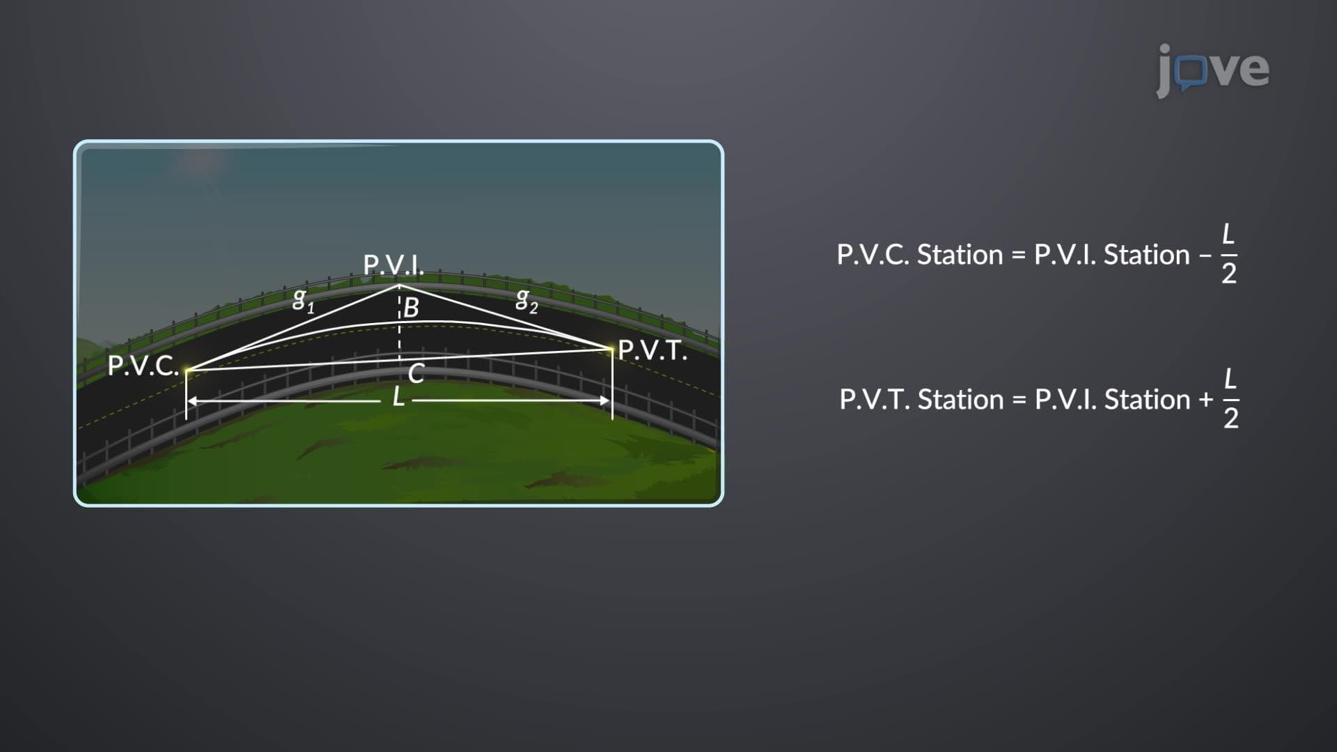
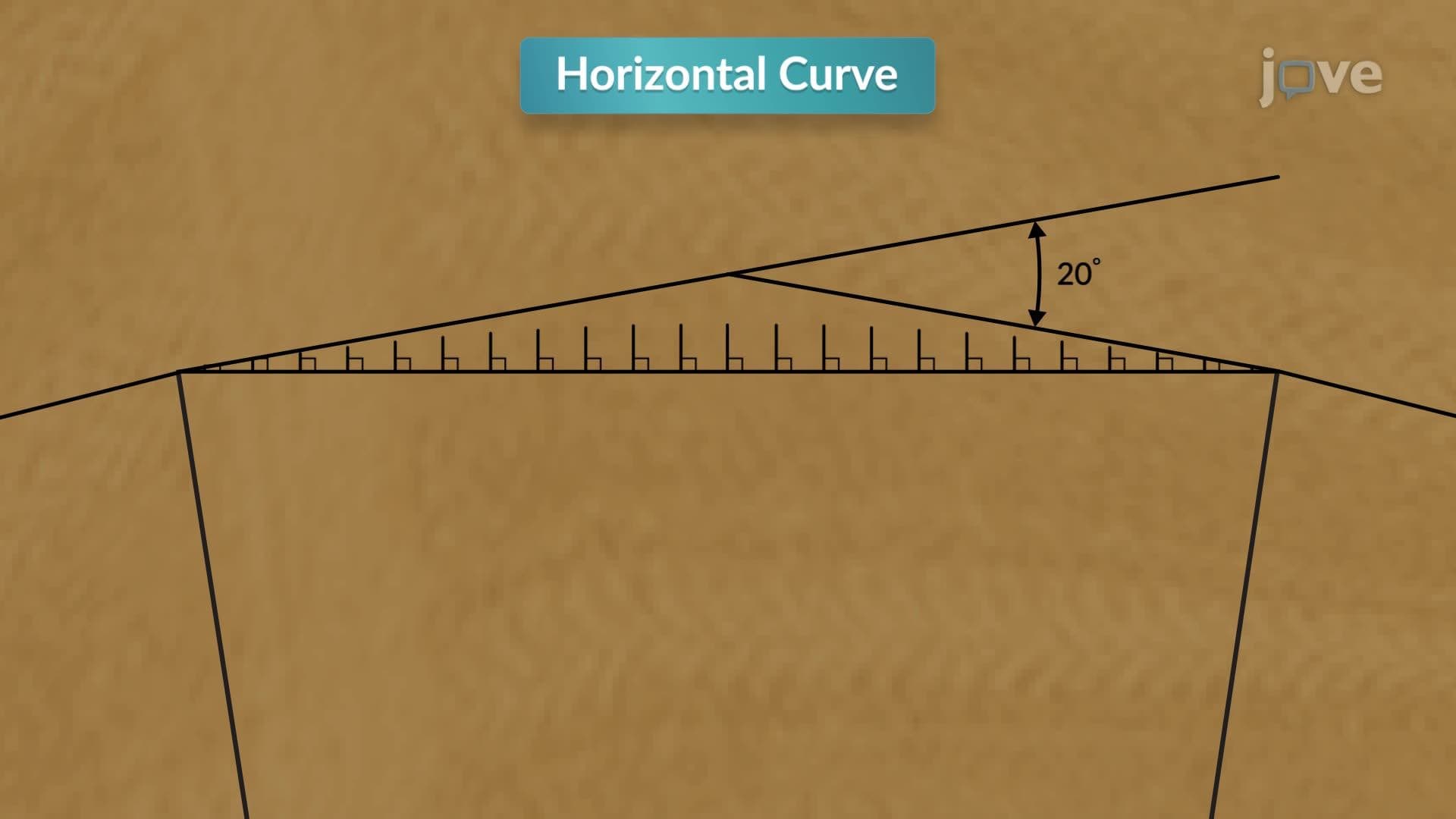
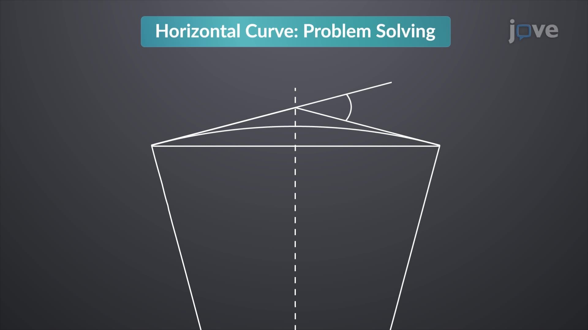
The field procedure for staking out curves tutorial begins with understanding three critical points: the Point of Curvature (PC) where the straight section transitions to the curve, the Point of Intersection (PI) where extended tangent lines would meet, and the Point of Tangency (PT) where the curve returns to a straight section. Engineers use the radius (R) and intersection angle (Δ) to calculate tangent distance using T = R × tan(Δ/2), and curve length using L = R × Δ (where Δ is in radians).
Students preparing for AP Calculus or college-level surveying courses encounter these problems frequently, as they demonstrate practical applications of trigonometry and geometry. The field procedure for staking out curves concept requires understanding how these mathematical relationships translate to real-world measurements that construction crews can follow.
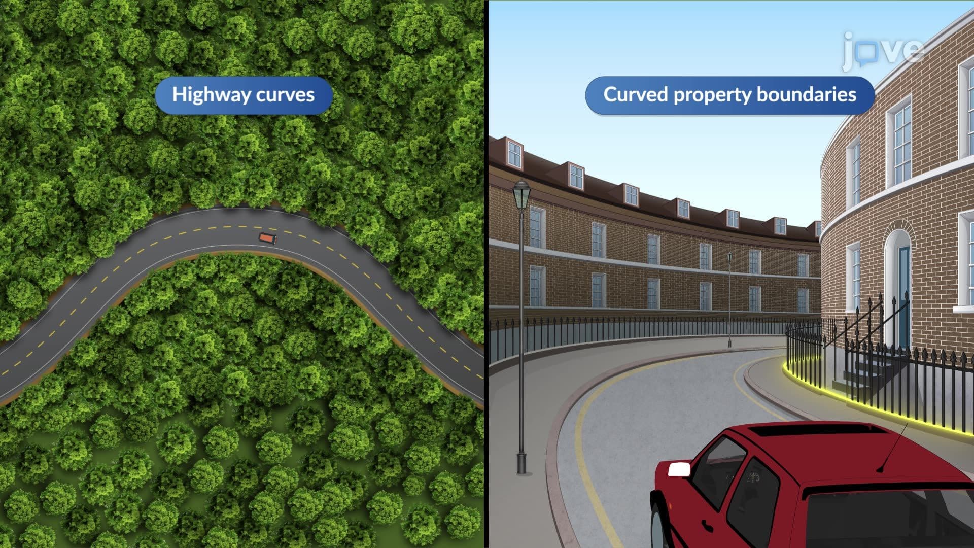
How field procedure for staking out curves works becomes evident when examining major US highway projects. The California Department of Transportation (Caltrans) uses these calculations extensively for designing curves along Highway 1's coastal route, where tight radius curves accommodate steep terrain while maintaining safe driving speeds. Similarly, the Interstate Highway System's design standards specify minimum curve radii based on design speed, requiring engineers to solve horizontal curve problems during the planning phase.
The field procedure for staking out curves study guide materials emphasize both computational accuracy and practical application. Civil engineering students at institutions like Georgia Tech and University of California Berkeley encounter these problems in surveying courses, where they learn to use both manual calculations and computer-aided design software. Understanding field procedure for staking out curves prepares students for professional licensing exams and real-world project management, where miscalculations can result in costly construction errors or safety issues.
Related Micro-courses