Loading video…



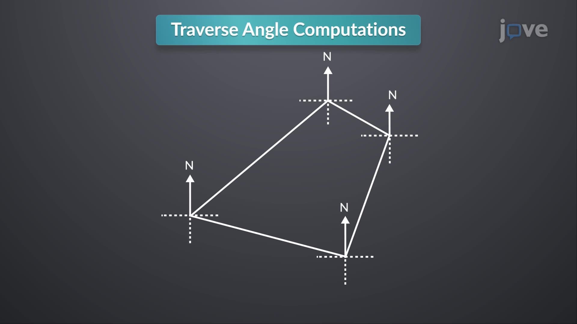
Imagine trying to navigate the vast wilderness of Yellowstone National Park without GPS—early explorers relied entirely on compasses for survival. Magnetic declination represents the crucial angular difference between magnetic north (where a compass points) and true north (actual geographic north pole). In Seattle, Washington, this declination measures approximately 15 degrees east, meaning compass readings require significant correction for accurate navigation. What is Compass reveals how this fundamental surveying instrument shaped American exploration and development. Watch the full video on JoVE Coach to master this concept with expert-led visuals and step-by-step explanations.
- Understand What is Compass as a magnetic instrument that relies on Earth's magnetic field for directional guidance
- Identify magnetic declination as the angular deviation between magnetic north and true geographic north
- Analyze how Earth's liquid outer core generates magnetic fields that influence compass needle orientation
- Compare historical compass-based surveying methods with modern GPS and electronic navigation systems
- Evaluate factors affecting compass accuracy, including magnetic interference and temporal variations in declination
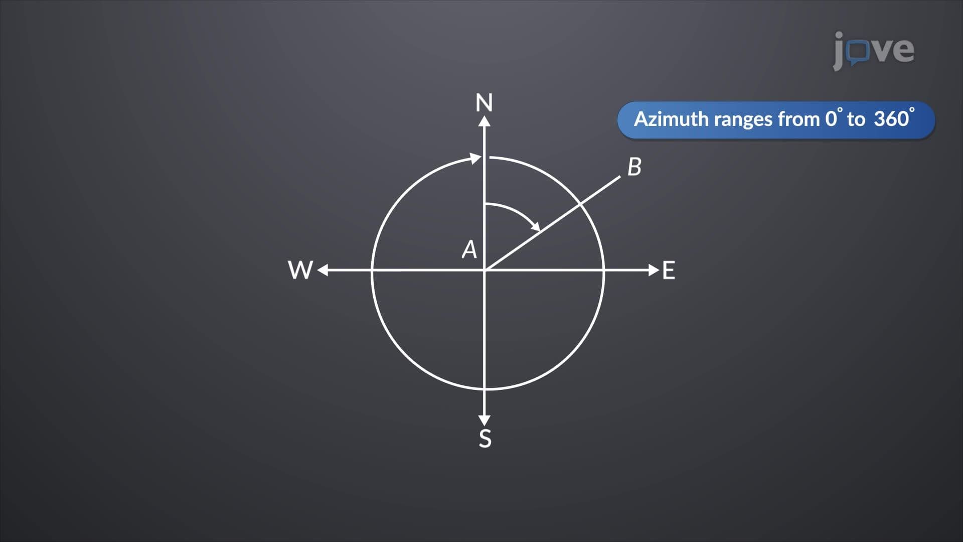
- Apply magnetic declination corrections to convert compass bearings into true geographic bearings
- Recognize the importance of location-specific declination values for precise navigation and surveying
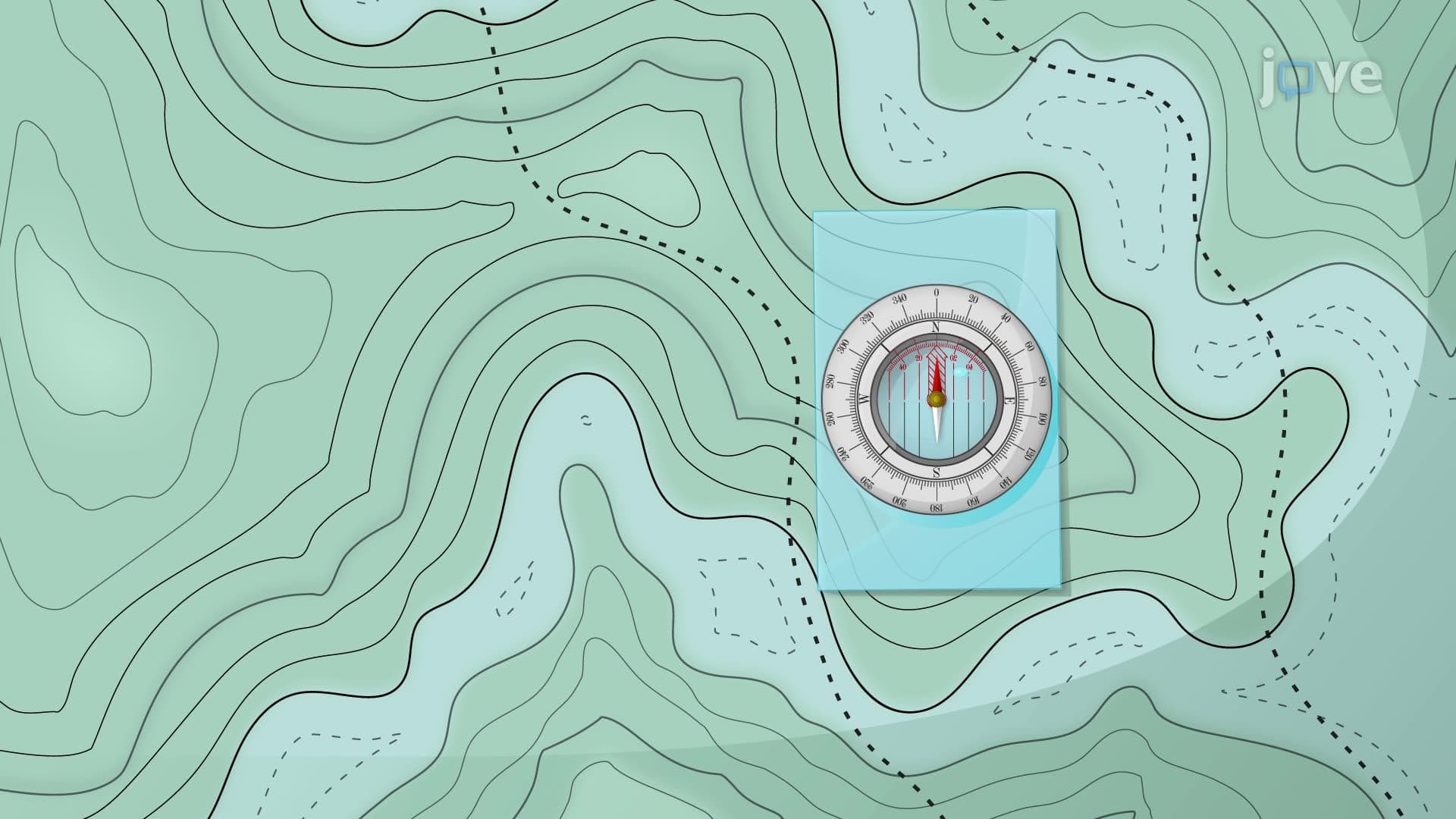
- Explore practical applications of compass technology in wilderness navigation, surveying, and emergency situations
Understanding What is Compass: The Foundation of Navigation
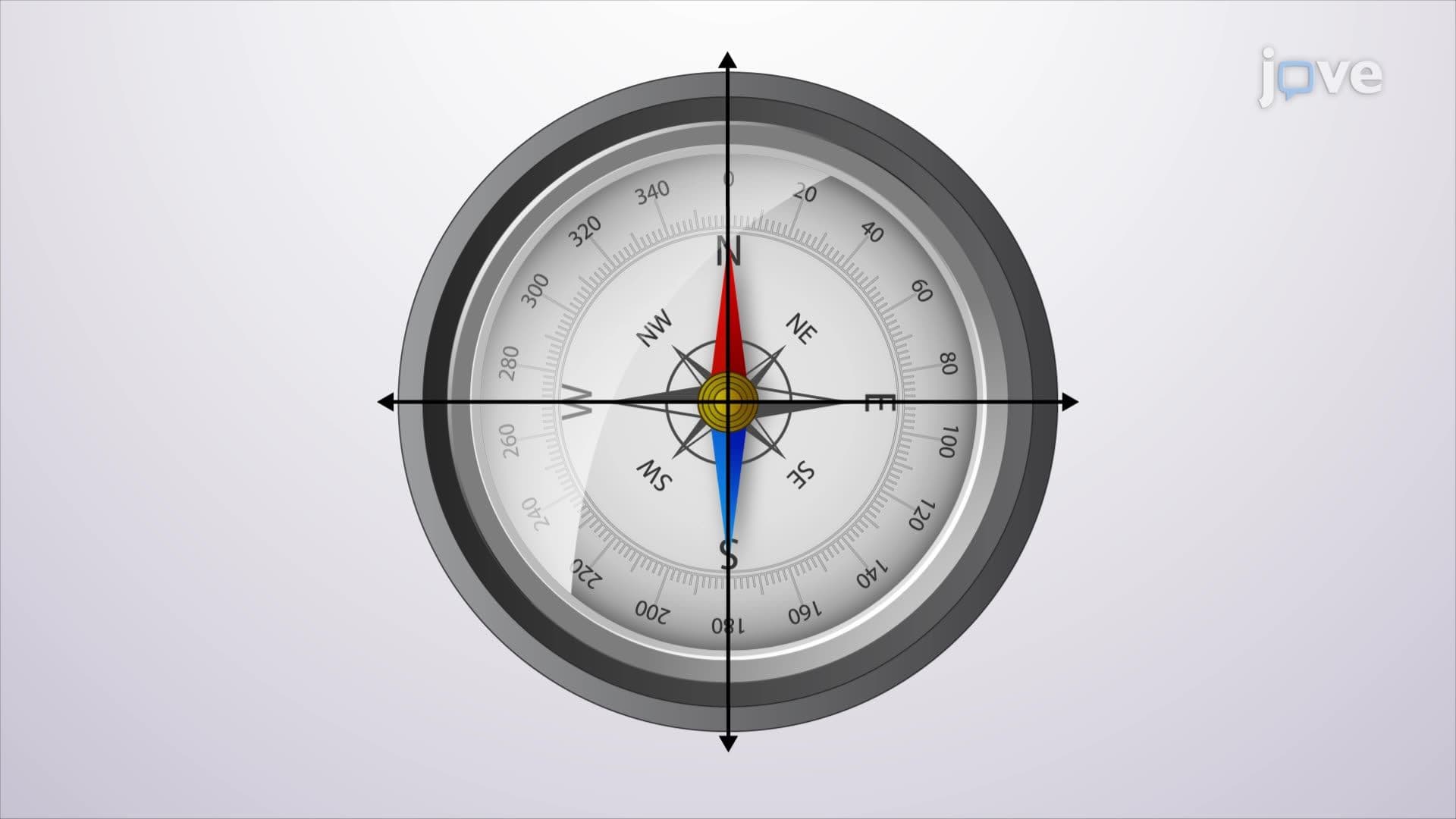
A compass represents one of humanity's most ingenious navigation tools, functioning as a simple yet sophisticated magnetic instrument. The device operates on the fundamental principle that a magnetized needle aligns itself with Earth's magnetic field lines, consistently pointing toward magnetic north. This seemingly straightforward mechanism enabled centuries of exploration, territorial expansion, and scientific advancement across the American continent.
Magnetic Declination: The Critical Navigation Variable
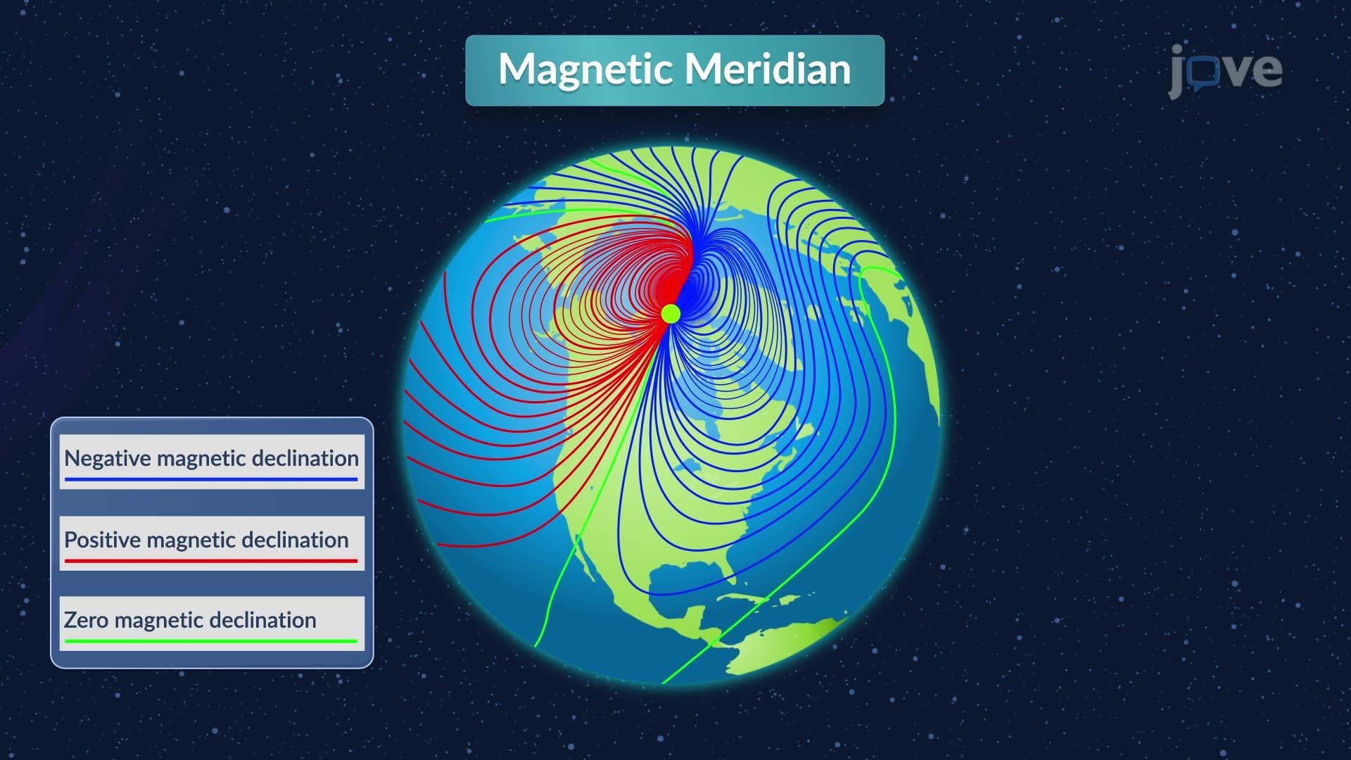
Magnetic declination forms the cornerstone of accurate compass navigation, representing the angular difference between magnetic north (where your compass needle points) and true north (the actual geographic North Pole). This declination varies significantly across the United States—ranging from approximately 20 degrees west in Maine to 15 degrees east in Washington State. Understanding this concept proves essential for AP Environmental Science students studying navigation systems and for college-level geography courses exploring spatial analysis.
The declination's variability stems from Earth's complex magnetic field geometry. Unlike a simple bar magnet, our planet's magnetic field originates from dynamic electrical currents flowing through the liquid iron outer core, approximately 1,800 miles beneath the surface. These currents create magnetic poles that don't align with geographic poles and shift position over time—a phenomenon called secular variation.
Practical Applications and Real-World Impact
Professional surveyors, forest rangers, and military personnel across the United States rely on precise declination calculations daily. The U.S. Geological Survey maintains detailed declination maps updated every five years, providing location-specific values essential for accurate land surveying and property boundary determination. For instance, a surveyor working in Colorado must apply a declination correction of approximately 8 degrees east to convert magnetic compass readings into true bearings for legal property descriptions.
Modern compass applications extend beyond traditional navigation. Search and rescue operations in national parks like Glacier or Grand Canyon depend on compass skills when electronic devices fail. The Federal Aviation Administration requires student pilots to demonstrate compass navigation proficiency, incorporating magnetic declination calculations into flight planning procedures.
Historical Significance and Contemporary Relevance
The compass revolutionized American westward expansion, enabling Lewis and Clark's expedition and countless pioneer journeys. Today's SAT Subject Tests and AP Physics courses often include compass-related problems, testing students' understanding of magnetic field interactions and practical navigation calculations. College-level surveying programs at institutions like Penn State and Virginia Tech continue emphasizing compass fundamentals alongside advanced GPS technology, recognizing that reliable navigation requires understanding both traditional and modern methods.
Frequently Asked Questions
Magnetic declination is the angular difference between magnetic north and true north, varying by geographic location. This difference matters because ignoring it leads to significant navigation errors—a 10-degree declination error results in being off-course by nearly one mile after traveling just six miles.
AP Environmental Science often includes questions about navigation tools and spatial analysis in wilderness management contexts. Students may encounter problems requiring declination corrections for wildlife tracking studies or calculating true bearings from magnetic compass readings in field research scenarios.
Magnetic declination changes due to secular variation—the gradual shifting of Earth's magnetic poles caused by changing electrical currents in the liquid outer core. The magnetic north pole currently moves northwest at approximately 34 miles per year, requiring periodic updates to declination values for accurate navigation.
No advanced mathematics is required—magnetic declination calculations involve basic addition and subtraction of angles. If you can handle geometry and understand angular measurements, you possess sufficient mathematical background to master declination corrections and compass navigation principles.
Professional surveyors use current USGS declination values specific to their work location, applying corrections to convert magnetic bearings into true bearings for legal property descriptions. They also employ GPS systems alongside traditional compasses, ensuring redundant navigation capabilities and cross-checking accuracy.
The National Oceanic and Atmospheric Administration (NOAA) provides an online magnetic declination calculator at their National Centers for Environmental Information website. Simply enter your zip code or coordinates to obtain current declination values and annual change rates for precise navigation planning.
Advanced navigation topics include GPS coordinate systems, triangulation methods, celestial navigation principles, and GIS (Geographic Information Systems) applications. Consider exploring surveying technology, cartographic projections, or geomagnetic field theory if pursuing earth science or engineering pathways.
College entrance exams may include declination problems in earth science or physics sections, often presenting scenarios requiring bearing corrections or navigation calculations. Practice converting between magnetic and true bearings, interpreting declination maps, and solving distance/direction problems using corrected compass readings.
Related Micro-courses
9 Concepts

10 Concepts

6 Concepts
Related Subjects
 Electrical Engineering 33 micro-courses›Mechanical Engineering 28 micro-courses›