Loading…
Loading video…
392 views

Ever wondered how GPS navigation pinpoints your exact location among millions of possibilities? The coordinate plane uses the same mathematical principles that help delivery drivers find your house or emergency responders locate accident scenes. This two-dimensional grid system, formed by intersecting x and y axes, transforms abstract mathematical concepts into practical navigation tools used everywhere from Google Maps to air traffic control systems across the United States. Watch the full video on JoVE Coach to master this concept with expert-led visuals and step-by-step explanations.
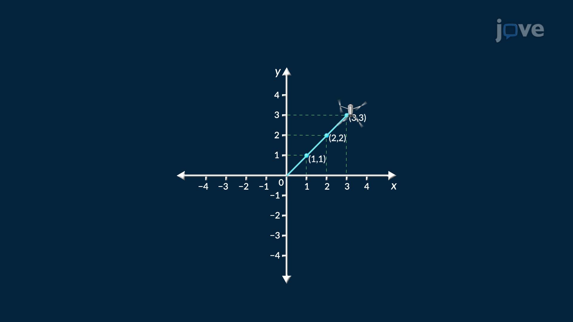
The coordinate plane serves as mathematics' most fundamental tool for representing two-dimensional space. Also known as the Cartesian plane (named after French mathematician René Descartes), this system revolutionized how we visualize mathematical relationships. The coordinate plane consists of two perpendicular number lines: the horizontal x-axis and vertical y-axis, intersecting at the origin point (0, 0).
The intersection of these axes creates four distinct quadrants, each with unique characteristics. Quadrant I contains points with positive x and y coordinates, Quadrant II has negative x but positive y values, Quadrant III contains both negative coordinates, and Quadrant IV features positive x but negative y values. This systematic organization allows mathematicians, engineers, and scientists to precisely locate any point in two-dimensional space using ordered pairs.
High school students encounter coordinate planes extensively in Algebra I and II courses, while college undergraduates use them in calculus, statistics, and physics. The AP Mathematics curriculum heavily emphasizes coordinate geometry, particularly in graphing functions and analyzing geometric transformations. Students preparing for standardized tests like the SAT Math section must master coordinate plane concepts to solve problems involving distance formulas, midpoint calculations, and linear equations.
American industries rely heavily on coordinate plane principles. Urban planners use coordinate systems to design city layouts, with Manhattan's grid system serving as a perfect real-world example of coordinate plane application. The Federal Aviation Administration employs coordinate-based navigation systems to manage air traffic across US airspace. Even video game developers use coordinate planes to create virtual environments, while architects utilize them for blueprints and structural designs. Understanding these applications helps students connect abstract mathematical concepts to tangible career opportunities in STEM fields throughout the United States.
Frequently Asked Questions
A coordinate plane is a two-dimensional grid system formed by perpendicular x and y axes that intersect at the origin. It's crucial because it provides a visual method for representing mathematical relationships, solving geometric problems, and connecting algebra with geometry in courses from high school through college.
Coordinate plane questions frequently appear on SAT Math sections and AP Calculus exams, typically involving graphing functions, calculating distances between points, or analyzing geometric transformations. Students often encounter 3-5 coordinate geometry questions per test, making mastery essential for competitive scores.
Prioritize plotting ordered pairs, identifying quadrants, graphing linear equations, and calculating slope between two points. Most Algebra II exams also test your ability to find x and y intercepts, understand parallel and perpendicular lines, and solve systems of equations graphically.
Coordinate systems are fundamental in numerous American industries including aerospace engineering at companies like Boeing, urban planning in major cities like Chicago, computer graphics at tech companies in Silicon Valley, and geological surveying for oil companies in Texas. GPS technology, used by millions daily, relies entirely on coordinate plane principles.
The coordinate plane is actually one of the more intuitive mathematical concepts since it resembles familiar grid systems like city maps or graph paper. Most students grasp the basic plotting concept quickly, though applications involving negative numbers or complex functions may require additional practice.
Practice plotting points daily, memorize quadrant characteristics, and work through real-world application problems. Focus on understanding the relationship between algebraic equations and their graphical representations, as this connection appears frequently on both classroom tests and standardized exams.
Build upon coordinate plane knowledge by exploring linear functions, quadratic equations, and their graphical representations. Advanced topics include coordinate geometry theorems, conic sections, and three-dimensional coordinate systems, all of which form the foundation for calculus and advanced mathematics courses.
Related Micro-courses


Related Subjects


