Loading subject page…


2,229 views

Video Summary: Design Example Marking Boundaries Site Explained
Ever wondered how surveyors ensure your property lines are exactly where they should be? Topographic surveying and contours form the foundation of accurate boundary marking, preventing costly legal disputes over land ownership. The U.S. Geological Survey uses these precise techniques to map everything from national parks to residential subdivisions. Design Example Marking Boundaries Site Explained demonstrates how surveyors systematically verify corner positions using compass bearings, range poles, and mathematical calculations to create legally defensible property boundaries. Watch the full video on JoVE Coach to master this concept with expert-led visuals and step-by-step explanations.
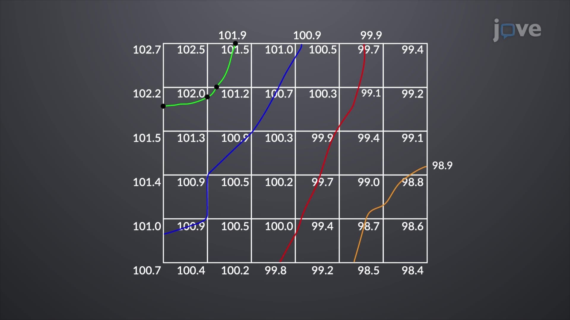
Boundary surveying represents one of the most critical applications of topographic surveying and contours in civil engineering and land development. When surveyors establish property lines, they must translate mathematical calculations into precise physical markers on the ground. This process requires understanding both the theoretical foundations of surveying mathematics and practical field techniques that ensure accuracy.
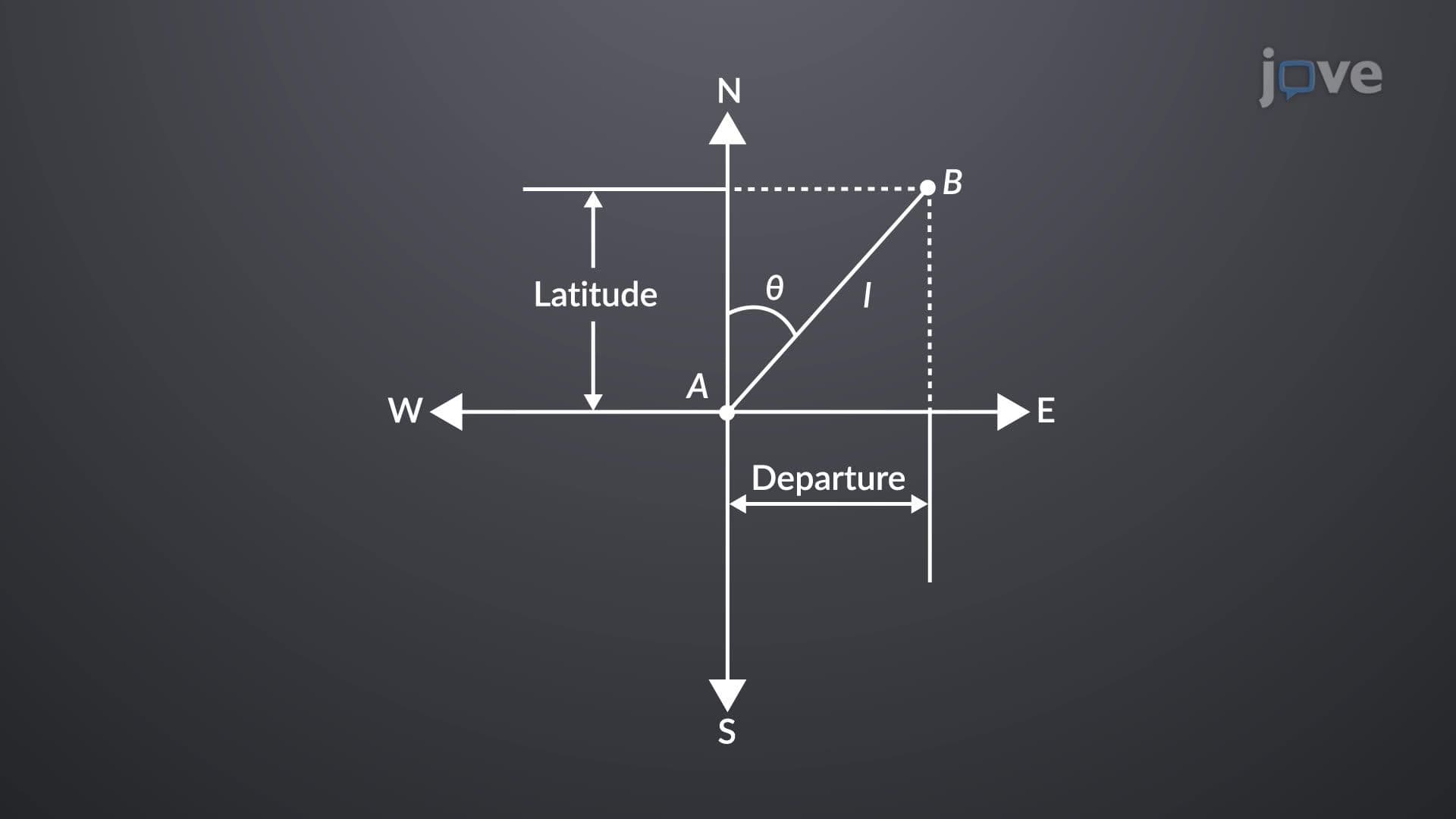
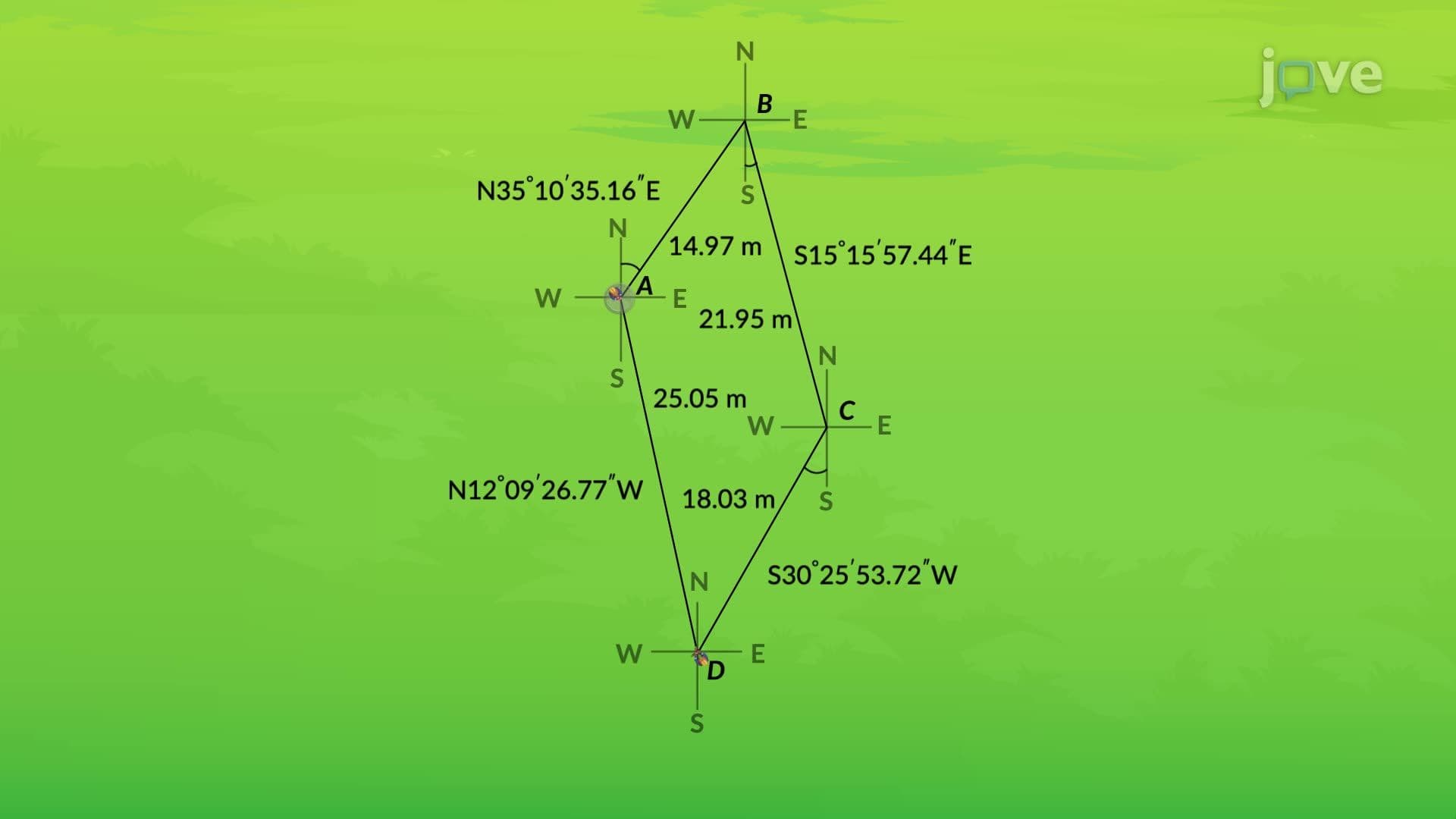
Before any physical marking begins, surveyors calculate latitudes and departures for each boundary segment. Latitude represents the north-south component of a survey line, while departure represents the east-west component. These calculations serve as a mathematical check-if the traverse closes properly (returns to the starting point), the survey contains no computational errors. Students preparing for AP Environmental Science or college-level surveying courses must understand that this mathematical verification prevents costly field mistakes. The Federal Geographic Data Committee requires this level of precision for all federal mapping projects.
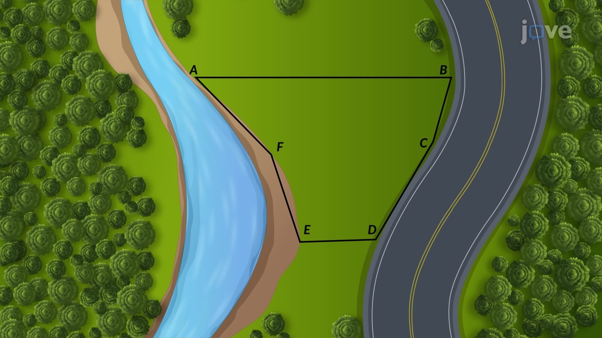
The physical marking process follows a rigid sequence that mirrors topographic surveying and contours principles. Starting from a permanent survey benchmark-often established by the U.S. Geological Survey-surveyors use compass bearings to align range poles toward calculated corner positions. Each corner marking involves multiple verification steps: forward bearing to establish position, instrument relocation, back bearing verification, and forward ranging to the next corner. This systematic approach ensures that human error doesn't compound throughout the survey.
Property boundary surveys directly impact millions of Americans through real estate transactions, construction projects, and legal disputes. The National Society of Professional Surveyors reports that boundary disputes cost property owners over $1 billion annually in legal fees. Accurate application of topographic surveying and contours definition prevents these disputes by creating legally defensible property descriptions. Students studying for the Fundamentals of Surveying exam must understand that boundary surveys require both mathematical precision and adherence to state-specific legal standards.
Understanding these principles prepares students for advanced coursework in civil engineering, geographic information systems, and urban planning, where precise spatial measurements form the foundation of professional practice.
Related Micro-courses