Loading video…


 9 Concepts
 2.2K views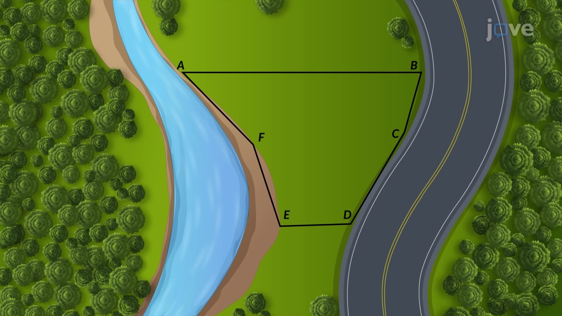

Video Summary: What Is Areas Within Irregular Boundaries
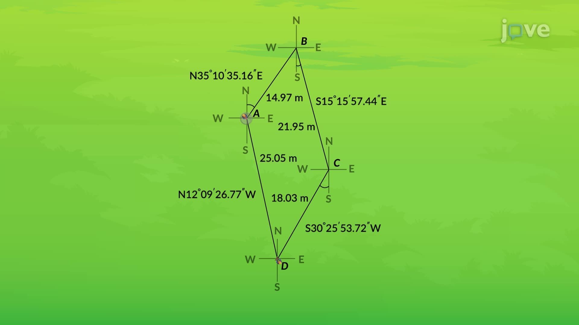
Did you know that calculating the area of Manhattan Island requires special surveying techniques because of its irregular coastline? A design example marking boundaries site demonstrates how surveyors tackle these complex measurements using traverse lines and precision instruments. Professional land surveyors routinely apply these methods when determining property boundaries along the Hudson River or calculating acreage for California's irregularly-shaped vineyards. Watch the full video on JoVE Coach to master this concept with expert-led visuals and step-by-step explanations.
Areas within irregular boundaries present unique measurement challenges that standard geometric formulas cannot solve. Unlike rectangles or triangles with straight edges, irregular boundaries follow natural features like riverbanks, coastlines, or property lines that curve unpredictably. This concept becomes essential for students preparing for AP Environmental Science exams, college-level surveying courses, and professional land surveying certification.
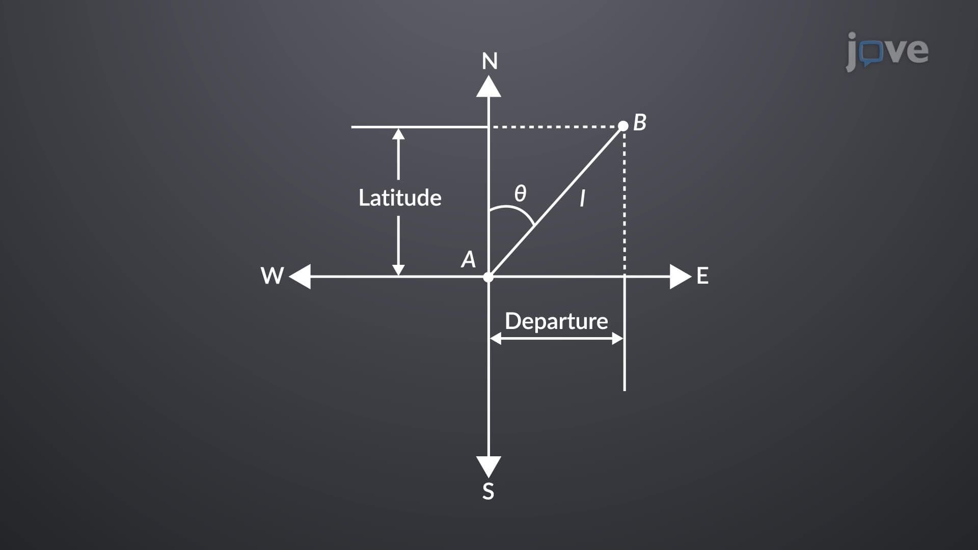
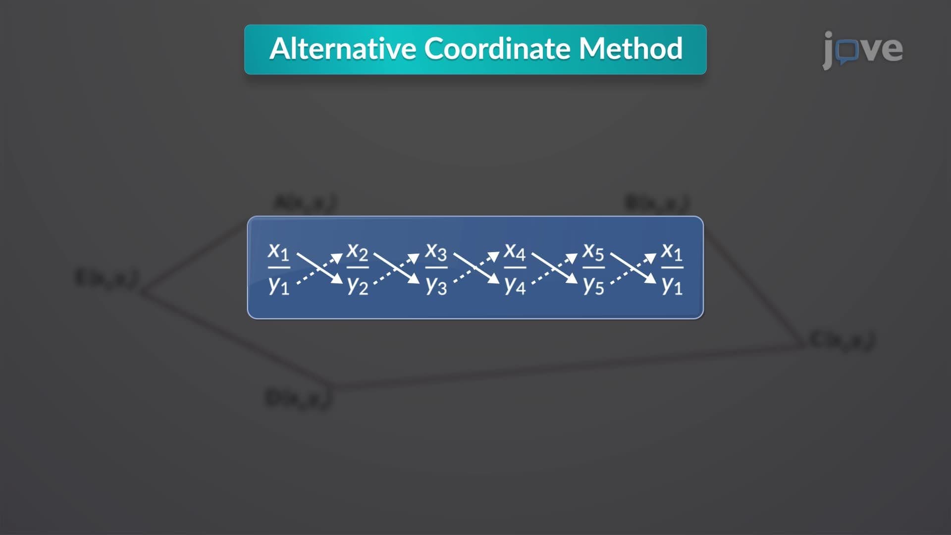
Professional surveyors solve irregular boundary problems by creating a traverse-a series of connected straight-line segments that approximate the curved boundary. Think of it like connecting dots around a lake's perimeter with straight lines. Each traverse point has precise coordinates, typically measured using GPS or electronic total stations. The enclosed area within these straight segments can then be calculated using the double meridian distance formula, which multiplies coordinate differences by specific factors to determine total area.
This traverse approach appears frequently in college surveying courses and civil engineering programs. Students studying for the Fundamentals of Surveying (FS) exam must demonstrate proficiency with coordinate-based area calculations, as these methods form the foundation for professional surveying practice.
The planimeter represents a fascinating mechanical solution to irregular area measurement. This device traces boundary lines on scaled maps or plots, mechanically integrating the enclosed area through precise wheel and arm movements. With 99% accuracy, planimeters remain valuable tools in engineering firms across the United States, particularly for environmental impact assessments and property boundary disputes.
Students encounter planimeter principles in physics courses when studying mechanical integration and in calculus classes exploring practical applications of definite integrals. The device demonstrates how mechanical systems can solve complex mathematical problems-a concept that bridges theoretical mathematics with real-world engineering solutions.
When planimeters aren't available, numerical methods provide flexible computational alternatives. The trapezoidal rule divides irregular areas into trapezoid-shaped segments based on measured offsets from the traverse line to the actual boundary. Each trapezoid's area gets calculated separately, then summed for the total area.
Simpson's one-third rule offers enhanced accuracy by using parabolic curves instead of straight lines between measurement points. This method applies weighted formulas that better approximate actual boundary curves, making it particularly valuable for environmental studies measuring watershed areas or wetland boundaries-topics common in AP Environmental Science coursework and college geography programs.
Related Micro-courses