Loading video…

 4 Concepts
 218 views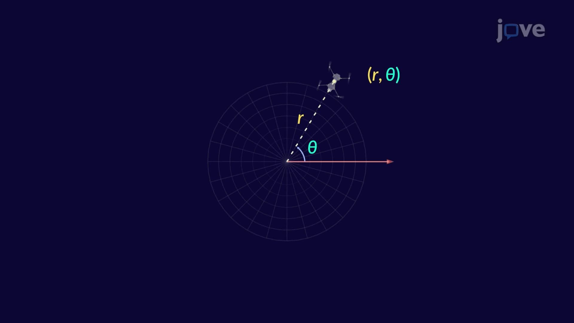

Video Summary: What are Polar Coordinates
Polar coordinates transform how we locate objects in space-imagine air traffic controllers tracking planes using distance and direction instead of traditional grid coordinates. This revolutionary coordinate system uses just two measurements: the distance from a central point (radius) and the angle from a reference direction. GPS systems across the United States rely on similar principles to pinpoint your exact location whether you're driving through Manhattan or hiking in Yellowstone. What are Polar Coordinates becomes essential knowledge for understanding navigation, physics, and advanced mathematics. Watch the full video on JoVE Coach to master this concept with expert-led visuals and step-by-step explanations.
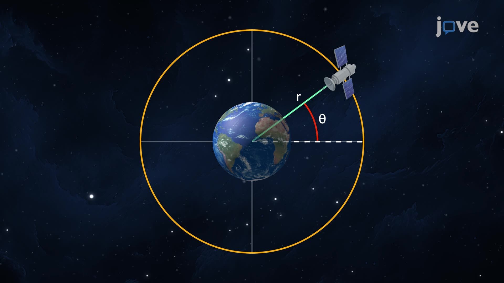
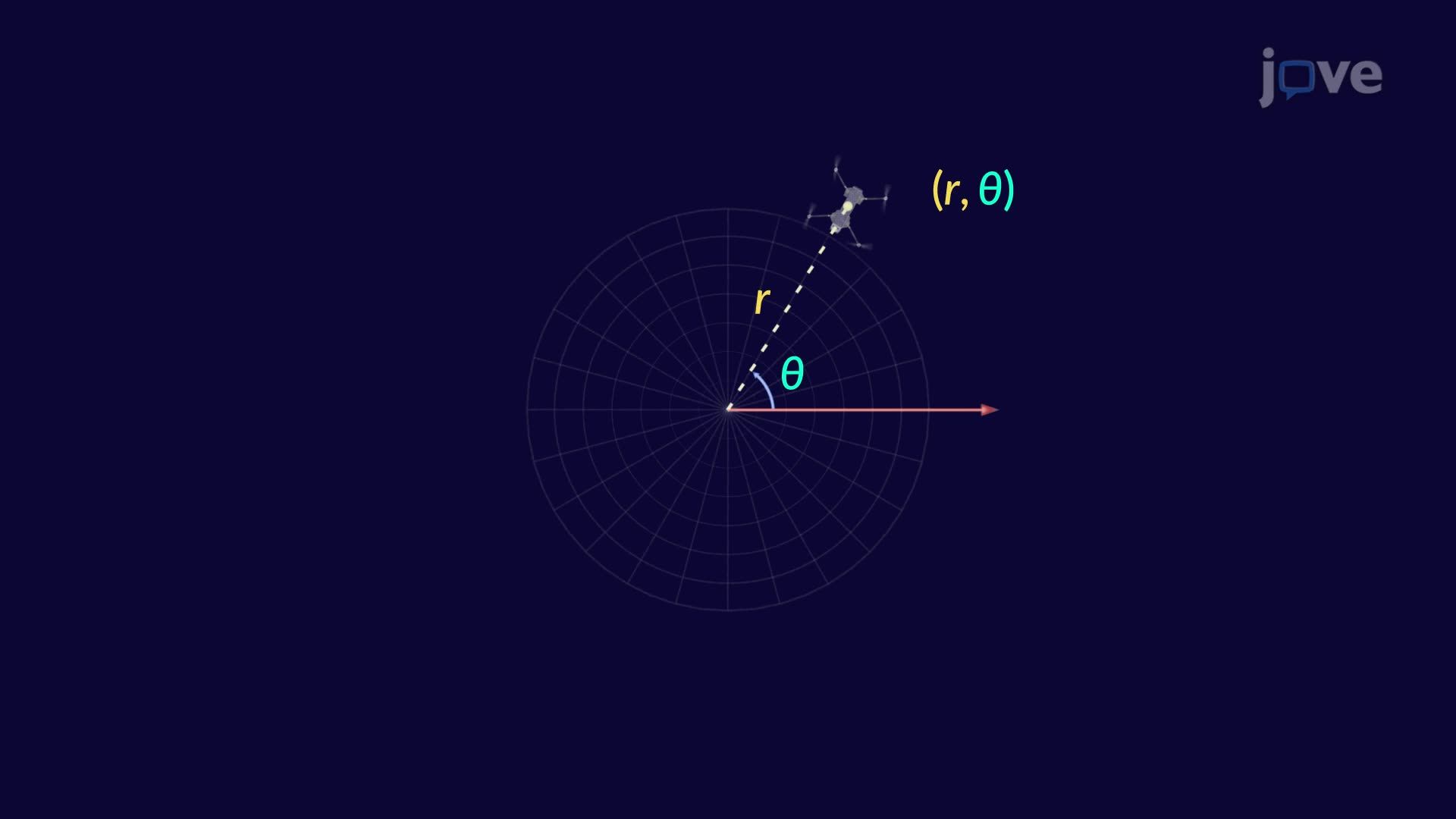
Polar coordinates represent a fundamentally different approach to describing positions in a plane. Unlike the familiar Cartesian system that uses perpendicular x and y axes, polar coordinates specify location using distance and direction from a central reference point. This system proves particularly powerful when dealing with circular or rotational motion, making it indispensable in fields ranging from aerospace engineering to robotics.
The system consists of four essential elements: the pole (origin point), the polar axis (typically aligned with the positive x-direction), the radius (r), and the angle (θ). Students often find this intuitive once they realize it mirrors how we naturally give directions: "Go 5 miles northeast from downtown."
Types of polar coordinates encompass various forms and conventions that make this system remarkably flexible. The standard form (r, θ) can accommodate both positive and negative values. When r > 0, the point lies in the direction of angle θ. However, when r < 0, the point appears in the opposite direction, effectively adding 180° to the angle.
This flexibility creates infinite representations for any single point. For example, the point (3, 45°) equals (3, 405°), (-3, 225°), and countless other combinations. This multiplicity, while initially confusing, proves valuable in advanced calculus and physics applications where different representations simplify specific calculations.
The mathematical bridge connecting polar and Cartesian coordinates relies on fundamental trigonometry. Converting from polar to Cartesian uses: x = r cos(θ) and y = r sin(θ). The reverse conversion employs: r = √(x² + y²) and θ = arctan(y/x), with careful attention to quadrant considerations.
These conversions appear frequently on AP Calculus exams and college placement tests. Students at universities like MIT, Stanford, and state schools across America encounter these transformations in physics courses studying projectile motion, engineering programs analyzing rotating machinery, and mathematics courses exploring complex numbers.
Polar coordinates excel in numerous American industries. Air traffic controllers at LAX and JFK airports use radar systems that naturally display aircraft positions in polar format. NASA engineers designing satellite orbits rely heavily on polar mathematics. Even the GPS system in your smartphone performs millions of polar-based calculations daily to determine your location whether you're navigating Los Angeles traffic or hiking Colorado's Rocky Mountains.
Related Micro-courses