Loading subject page…


2,229 views

Video Summary: What are Methods of Obtaining Topography
Ever wondered how engineers mapped the challenging terrain for California's Golden Gate Bridge construction? A design example analyzing capacity contours reveals how topographic data directly impacts major infrastructure projects across America. What are Methods of Obtaining Topography encompasses everything from traditional transit surveys to cutting-edge GPS technology that modern surveyors use daily. These measurement techniques determine whether highways can safely navigate mountain passes or if skyscrapers can be built on specific terrain. Watch the full video on JoVE Coach to master this concept with expert-led visuals and step-by-step explanations.
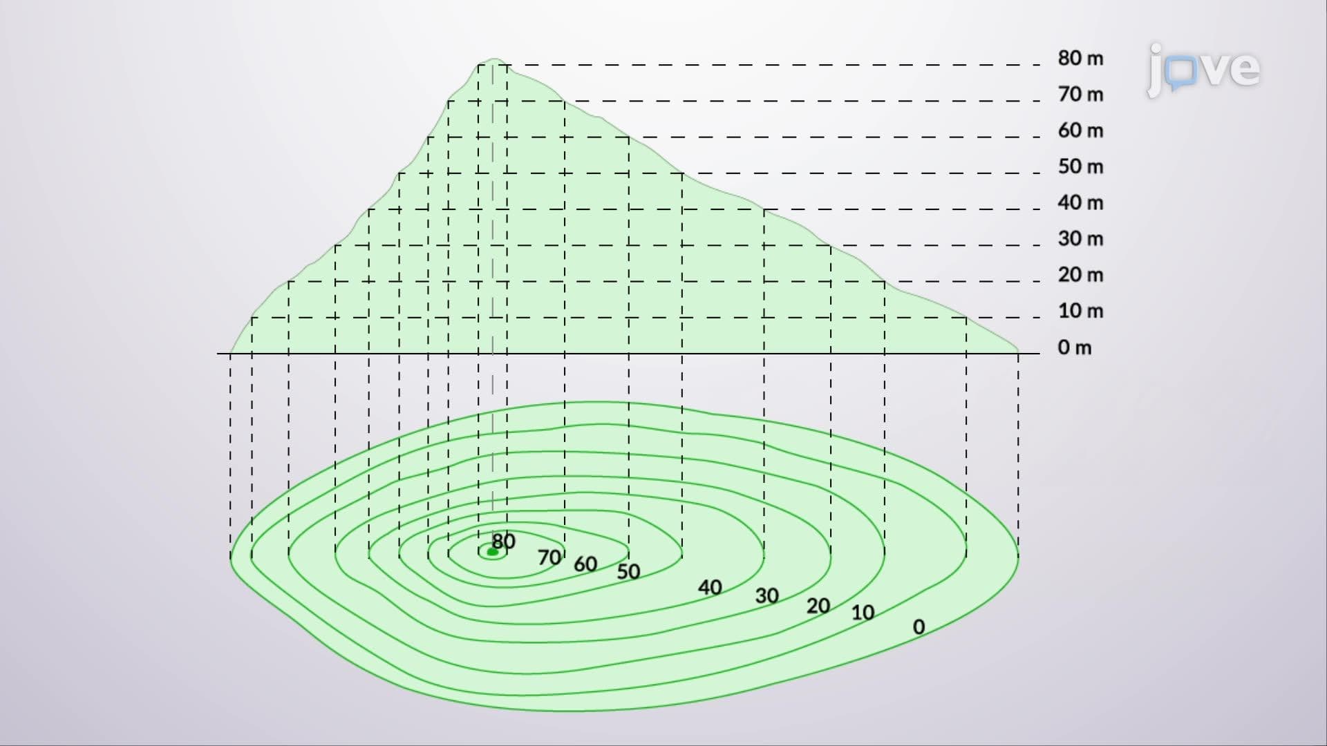
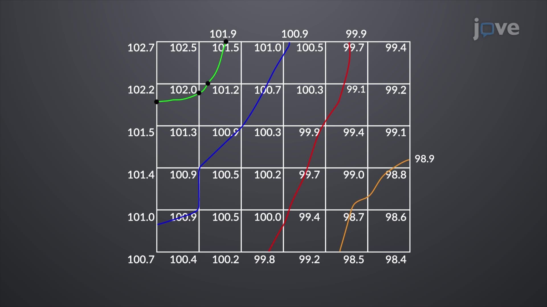
Topographic surveying forms the foundation of virtually every construction and engineering project across the United States. From the initial site analysis for Amazon's headquarters expansion in Arlington, Virginia, to flood mapping along the Mississippi River, accurate elevation data drives critical decision-making. The design example analyzing capacity contours demonstrates how topographic information directly translates into practical applications like determining building foundations, road gradients, and drainage patterns.
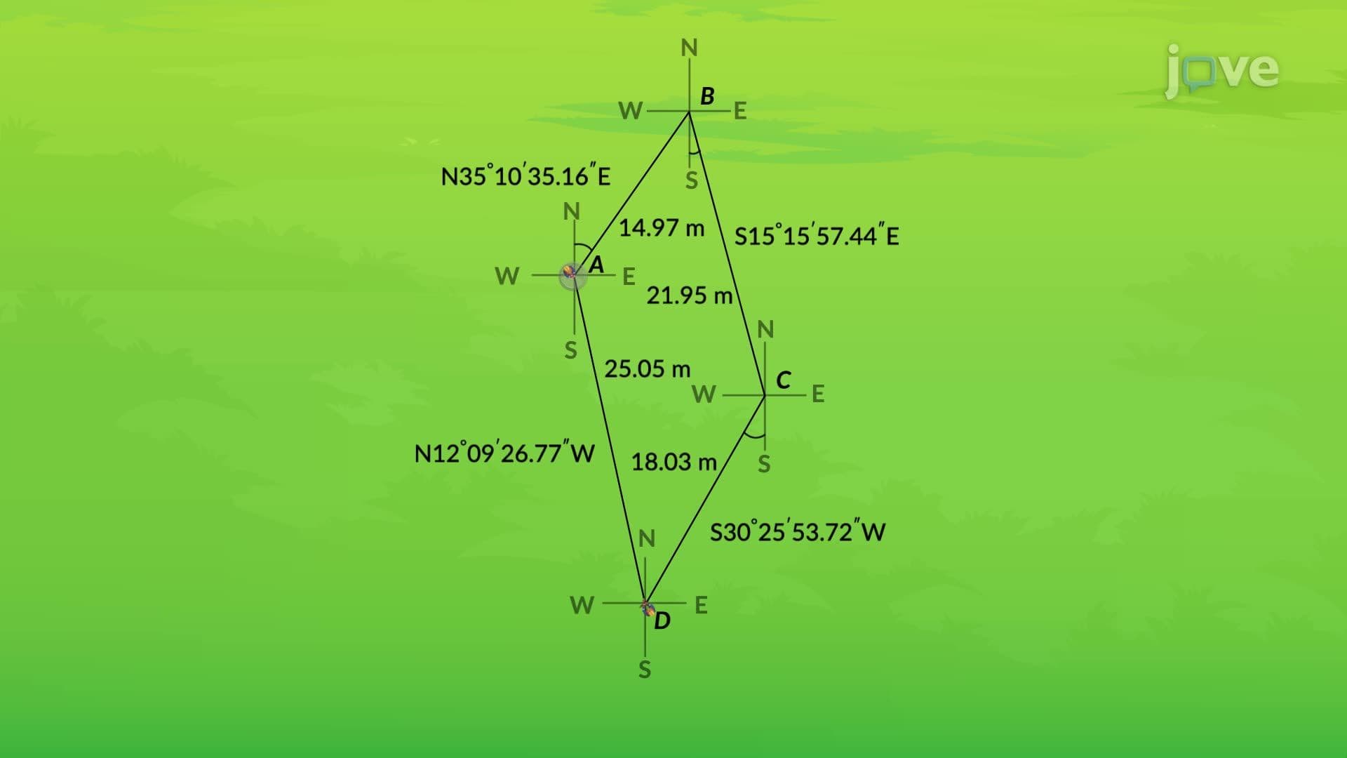
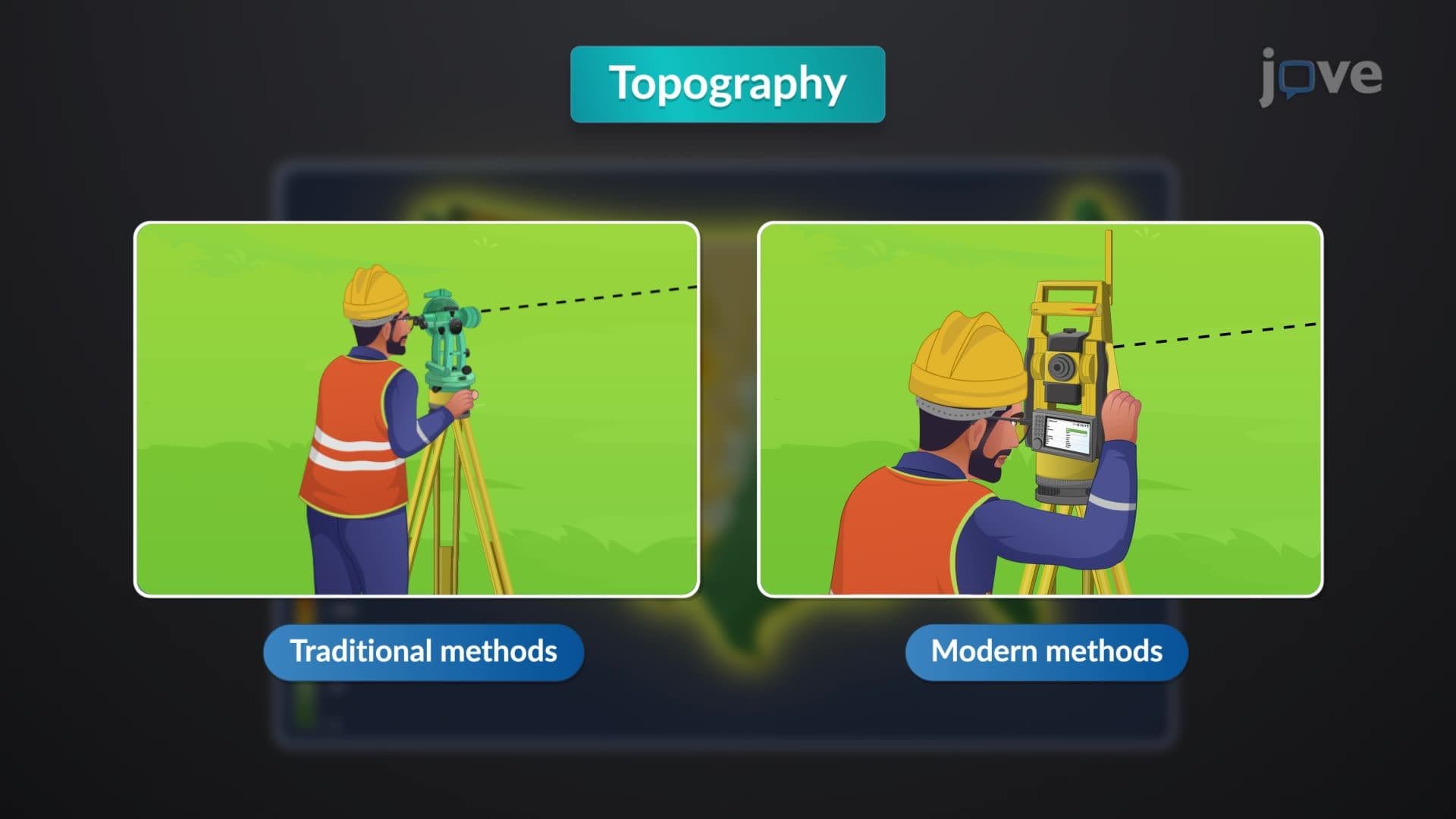
Traditional transit stadia surveys represent the historical backbone of American land surveying. These methods employ theodolites and stadia rods to manually measure horizontal and vertical angles, creating detailed elevation profiles through painstaking fieldwork. While time-intensive, these techniques remain valuable for small-scale projects and areas where modern equipment faces limitations. Many state surveying licensing exams, including those required for Professional Land Surveyor certification, still emphasize understanding these fundamental principles.
Total stations revolutionized topographic data collection by combining electronic distance measurement with digital angle calculation. These instruments can record up to 1,000 survey points daily, dramatically reducing project timelines compared to traditional methods. The design example analyzing capacity contours tutorial often demonstrates how total stations integrate seamlessly with Computer-Aided Design (CAD) software, enabling real-time map generation. Major infrastructure projects like California's high-speed rail system rely heavily on total station technology for precise elevation mapping across hundreds of miles.
Photogrammetry and GPS represent the cutting edge of topographic surveying, offering unprecedented accuracy and efficiency. Photogrammetric techniques use aerial imagery to create detailed contour maps, making them ideal for large-scale projects like national forest management or urban planning initiatives. GPS technology provides highly automated mapping capabilities, essential for applications ranging from agricultural precision farming to disaster response mapping. Understanding design example analyzing capacity contours becomes crucial when students encounter these technologies in AP Environmental Science or college-level geography courses, where real-world problem-solving skills are tested through practical applications of surveying data.
Related Micro-courses