Loading subject page…


2,228 views


Video Summary: What Is Adjusting a Traverse
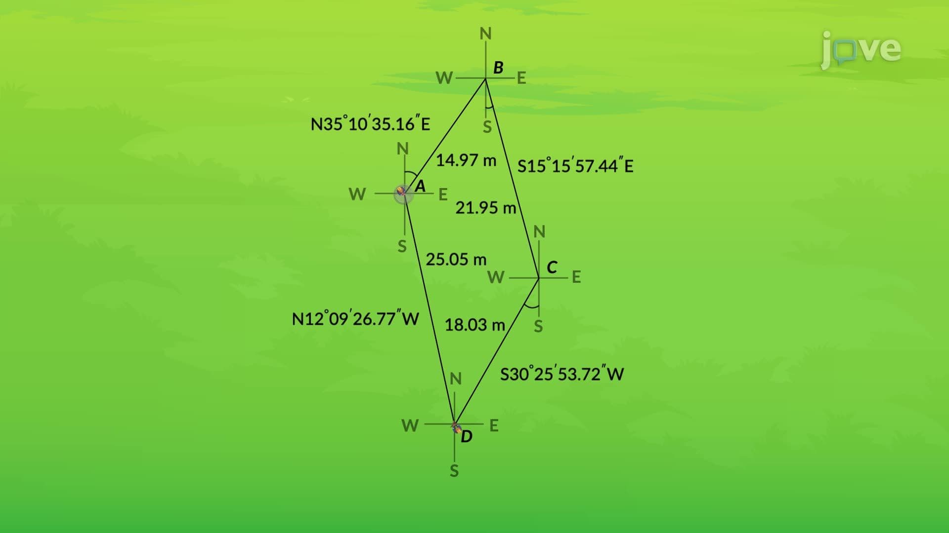
When surveying the Golden Gate Bridge construction site in 1933, engineers discovered their traverse measurements didn't perfectly close-a common challenge in latitudes and departures calculations. Adjusting a traverse becomes essential when field measurements contain small errors that prevent the geometric figure from mathematically closing. For instance, a four-sided traverse might sum to 359°48' instead of the required 360°, requiring systematic error distribution across all angles to achieve accuracy. Watch the full video on JoVE Coach to master this concept with expert-led visuals and step-by-step explanations.
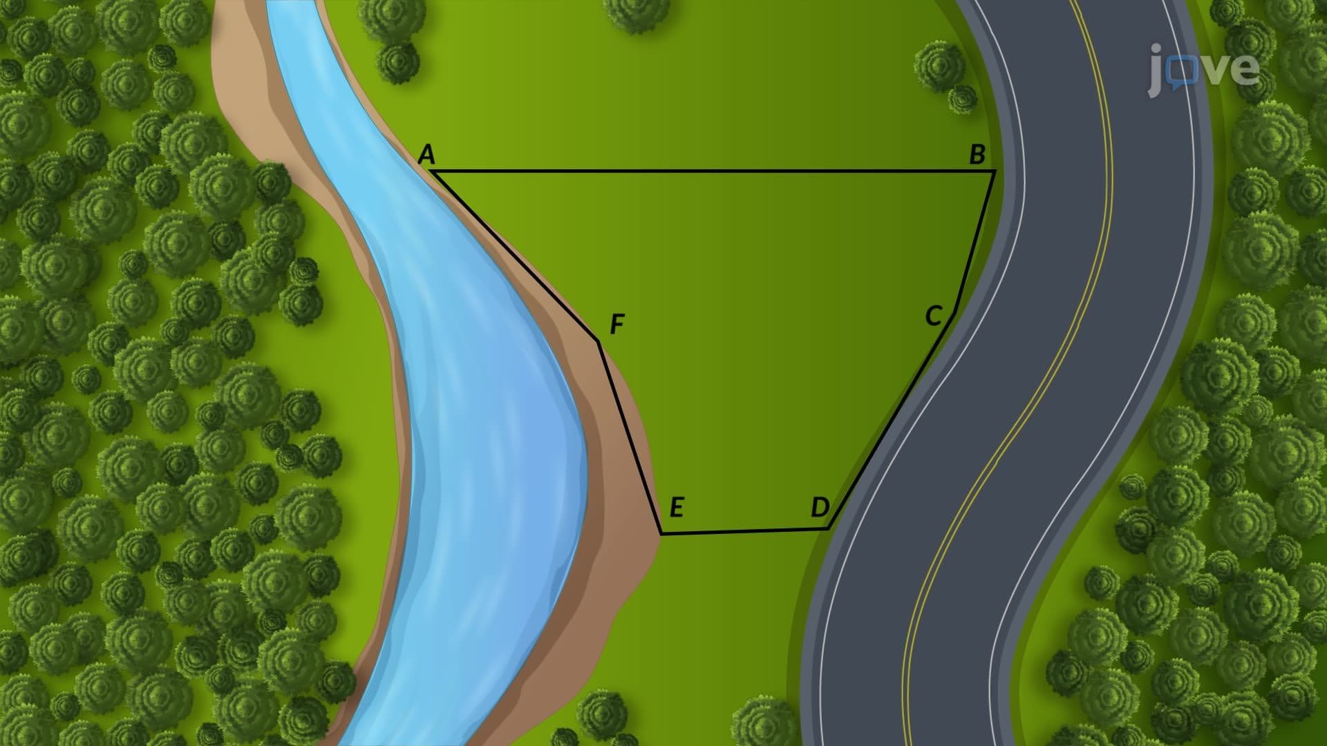
Adjusting a traverse represents a critical surveying technique that corrects field measurement errors to achieve geometric accuracy. In surveying practice, a traverse is a series of connected survey lines forming a closed polygon. When field measurements are taken-whether for property boundaries in Texas subdivisions or infrastructure projects like the Interstate Highway System-small errors inevitably occur due to instrument limitations, environmental conditions, or human factors.
The mathematical foundation requires that internal angles of any closed polygon sum to specific values: (n-2) × 180°, where n equals the number of sides. For a four-sided traverse, this sum must equal 360°. When field measurements produce 359°48', the 12-minute discrepancy signals the need for systematic adjustment.
Professional surveyors employ various adjustment techniques, with equal distribution being the most straightforward method. This approach divides the total angular error equally among all measured angles. In the example case, distributing 12 minutes across four angles adds 3 minutes to each internal angle, achieving the required 360° sum.
More sophisticated adjustment methods include compass rule adjustment and transit rule adjustment, commonly taught in surveying courses at institutions like Texas A&M University and Virginia Tech. These methods consider both angular and linear measurement quality, providing weighted corrections based on measurement precision.
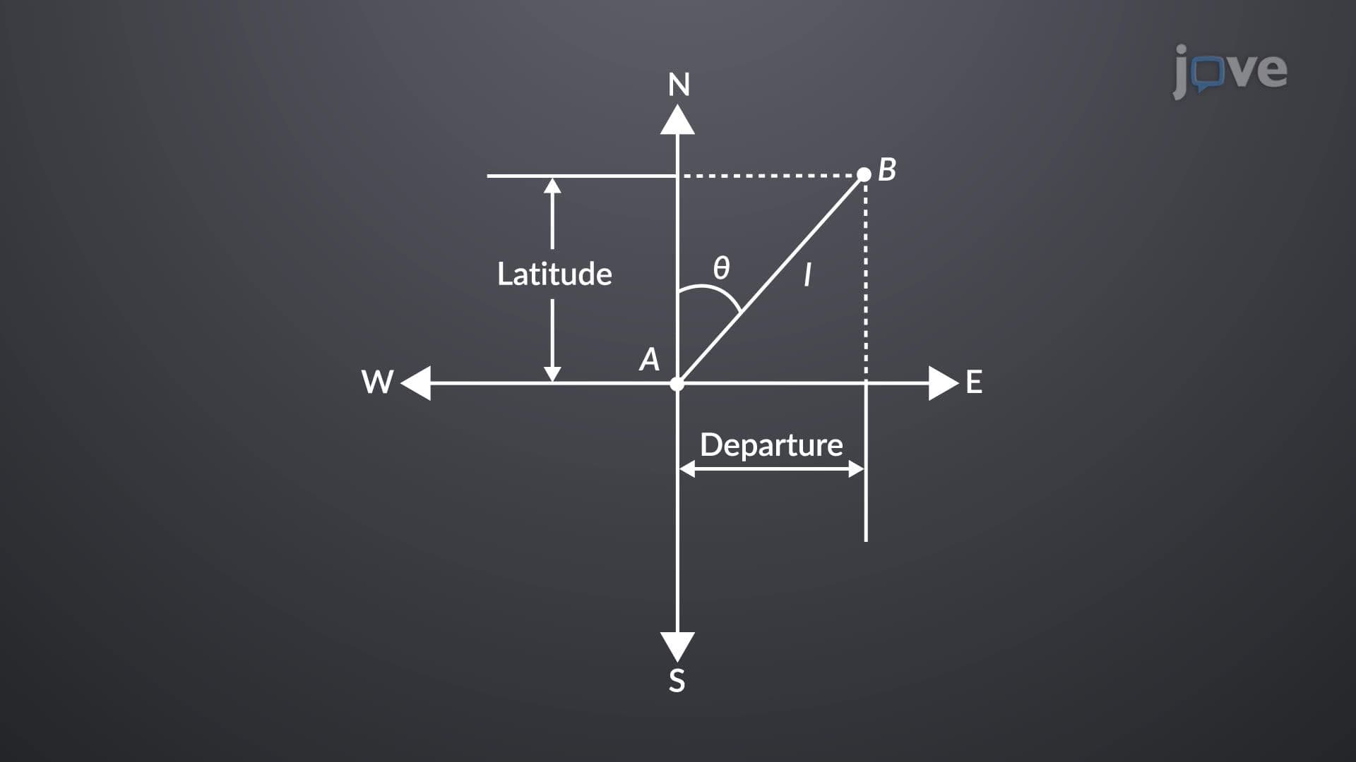
Once traverse angles are corrected, surveyors calculate latitudes and departures for each traverse side. Latitudes and departures definition encompasses the rectangular coordinate components: latitude represents the north-south component, while departure represents the east-west component of each survey line.
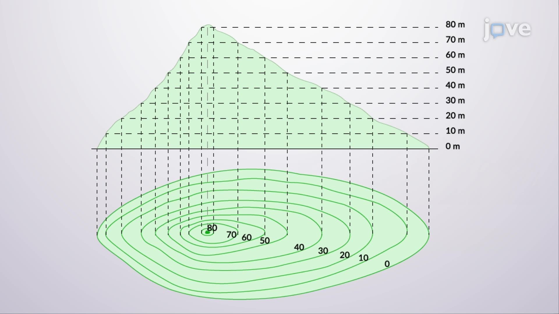
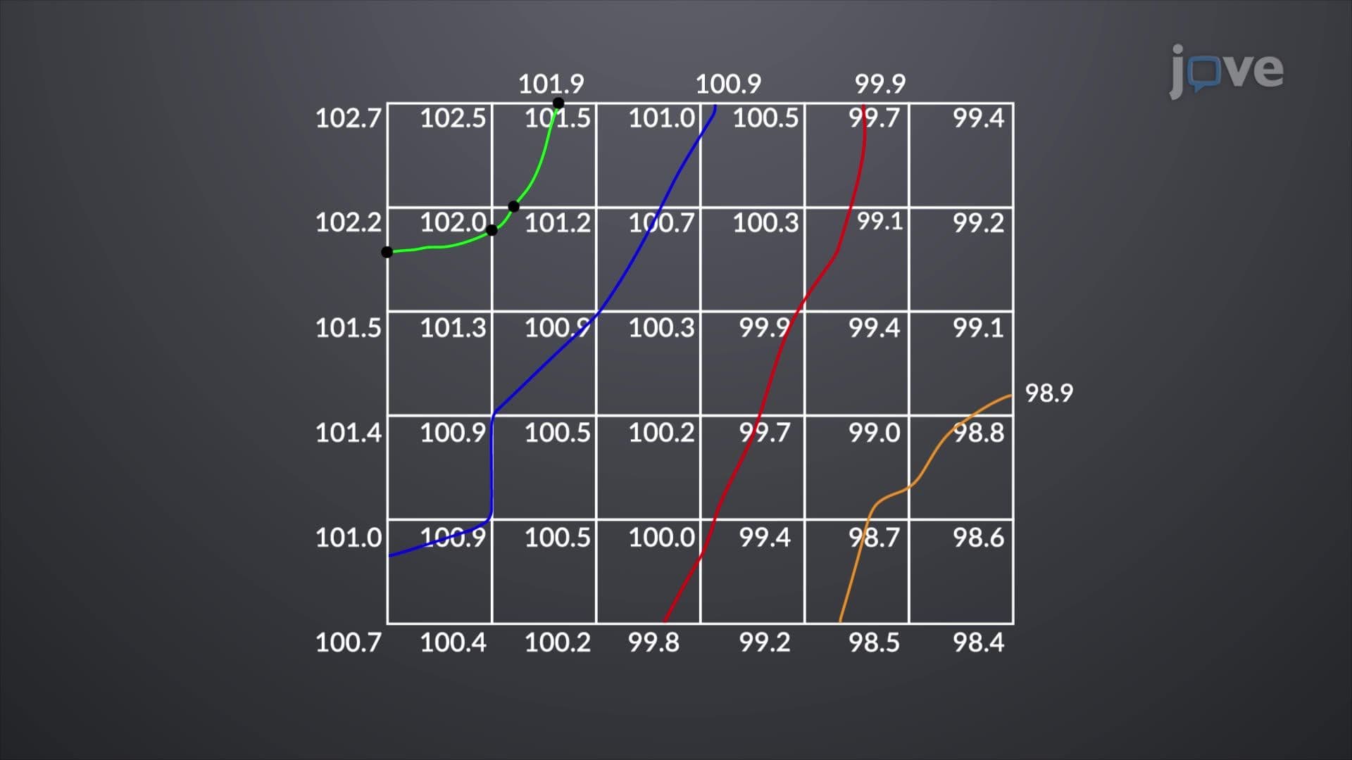
Understanding what is latitudes and departures in detail becomes crucial for coordinate geometry applications. These calculations enable surveyors to determine precise property boundaries, establish construction reference points, and create accurate topographic maps used by civil engineers across the United States.
Traverse adjustment appears frequently in AP Environmental Science projects involving land use analysis and in college-level civil engineering surveying courses. Students at universities like UC Berkeley and MIT encounter these concepts in introductory surveying and geomatics courses, where precision in latitudes and departures overview understanding directly impacts project success.
Professional licensing examinations for surveyors in all 50 states test traverse adjustment competency, emphasizing its fundamental importance in accurate boundary determination and construction layout.
Related Micro-courses