Loading subject page…


2,229 views

Video Summary: What Is Topographic Surveying and Contours
Did you know that every iPhone uses topographic data to calculate hiking routes and elevation changes? The plotting of topographic maps transforms raw elevation measurements into the detailed contour maps that guide everything from California wildfire evacuation routes to Florida hurricane flood planning. What is Topographic Surveying And Contours reveals how surveyors use GPS technology and mathematical principles to create these essential navigation tools. Watch the full video on JoVE Coach to master this concept with expert-led visuals and step-by-step explanations.
Topographic surveying represents one of the most fundamental applications of spatial mathematics and engineering, transforming three-dimensional terrain into accurate two-dimensional representations. This process combines advanced measurement technology with cartographic principles to create the detailed maps that support virtually every major construction project, urban planning initiative, and environmental management program across the United States.
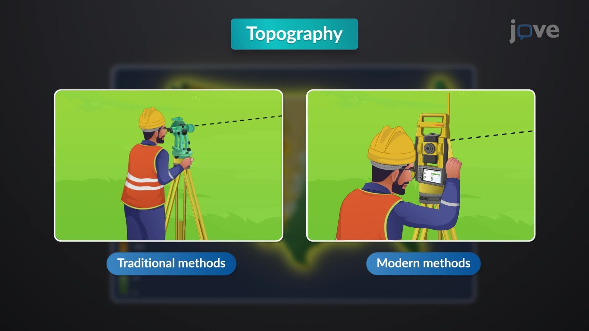
The plotting of topographic maps definition encompasses the systematic process of converting elevation data points into contour lines that reveal terrain characteristics. Modern surveyors employ GPS receivers capable of centimeter-level accuracy, combined with total stations that measure both horizontal and vertical distances using laser technology. These instruments collect thousands of elevation points across a survey area, creating a digital elevation model (DEM) that forms the foundation for contour generation.
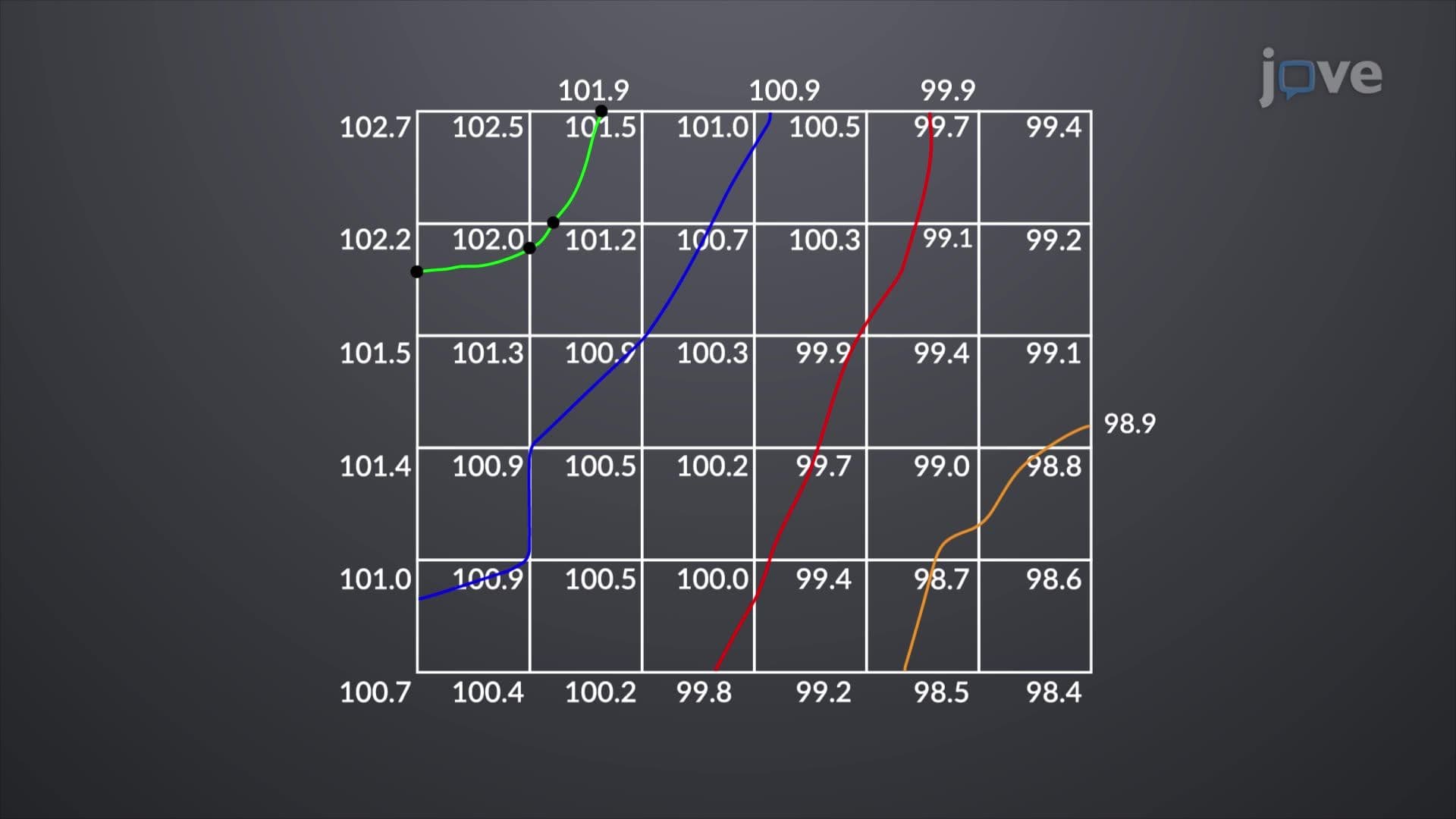
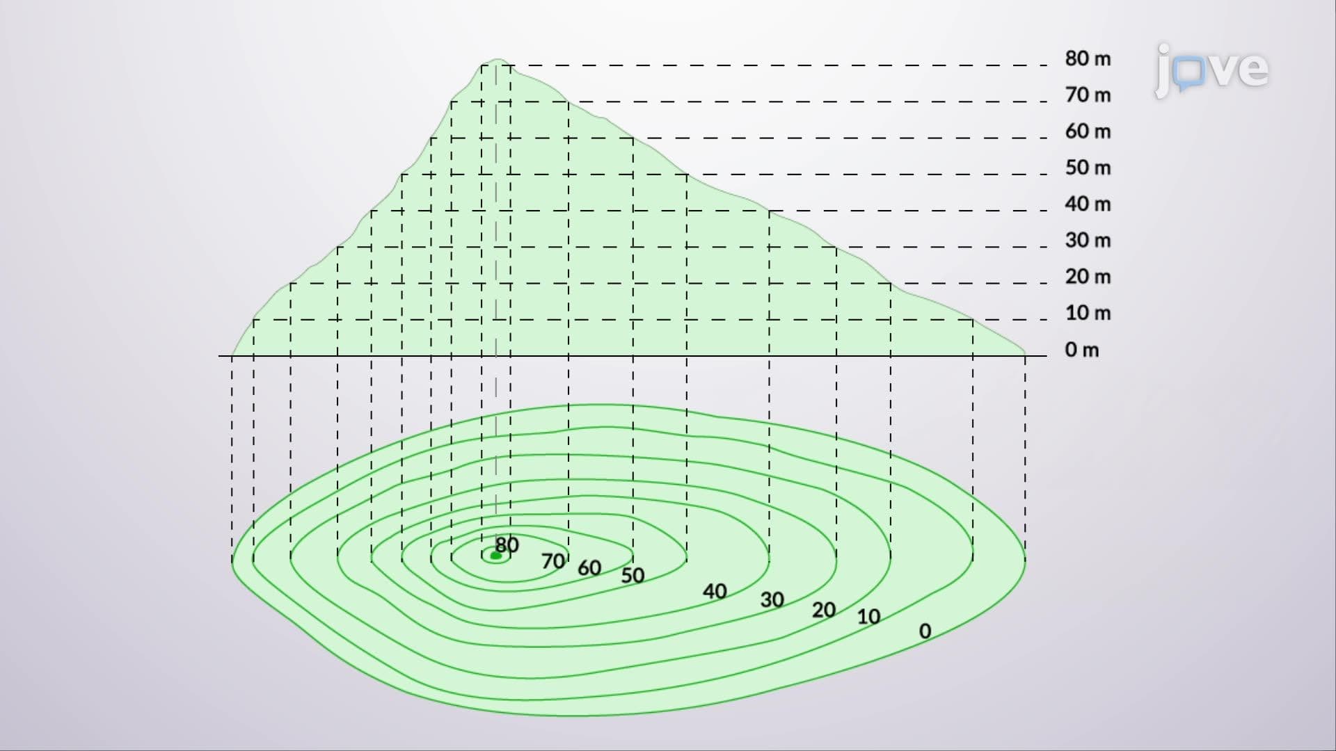
The mathematical relationship between elevation points determines contour line placement. When surveyors establish a contour interval-such as 10 feet for residential development or 100 feet for regional planning-specialized software interpolates between measured points to create smooth lines connecting areas of equal elevation. This process requires understanding of terrain behavior and geological principles, as contour lines must accurately represent natural drainage patterns and slope transitions.
What is plotting of topographic maps in detail becomes evident when examining real-world applications across American infrastructure projects. The California Department of Transportation relies heavily on topographic surveys for highway design, using 2-foot contour intervals to optimize road grades and minimize environmental impact through sensitive mountain terrain. Similarly, the US Army Corps of Engineers employs detailed topographic mapping for flood control projects along the Mississippi River, where 1-foot contour intervals help predict water flow patterns and levee placement.
In academic settings, topographic mapping appears prominently in AP Environmental Science coursework, where students analyze watershed boundaries and drainage basins using contour maps. College-level engineering programs, particularly civil and environmental engineering majors, dedicate entire courses to surveying principles, with topographic mapping serving as a cornerstone concept that connects mathematical theory with practical application.
Contemporary topographic surveying integrates multiple data sources to achieve unprecedented accuracy and efficiency. LiDAR (Light Detection and Ranging) technology, deployed from aircraft or drones, can capture millions of elevation points per second, creating highly detailed terrain models for large areas. The US Geological Survey's 3D Elevation Program utilizes LiDAR data to produce topographic maps with sub-meter accuracy, supporting everything from climate change research to precision agriculture applications.
Students preparing for standardized tests like the SAT Subject Tests or college entrance exams will encounter topographic map interpretation questions that test spatial reasoning skills and mathematical relationships. Understanding contour line patterns, calculating slope percentages, and identifying landform characteristics represent essential skills that extend beyond geography into engineering, environmental science, and urban planning disciplines.
Related Micro-courses