Loading subject page…

- Civil Engineering
- Leveling
- Influence of Earth's Curvature and Atmospheric Refraction on Leveling
Micro-course: Leveling
2,793 views
Learn key concepts and earn your certificate.

Influence of Earth's Curvature and Atmospheric Refraction on Leveling

00:00
01:26
Video Summary: Influence of Earths Curvature Explained
Did you know that surveying the Empire State Building's foundation requires accounting for Earth's curvature? Common leveling mistakes and errors often stem from ignoring how our planet's spherical shape affects measurement accuracy. When surveyors level across distances exceeding one kilometer-like mapping California's Central Valley-atmospheric refraction compounds curvature effects, creating deviations of approximately 0.0675 meters per kilometer. Watch the full video on JoVE Coach to master this concept with expert-led visuals and step-by-step explanations.
- Understand how the influence of Earth's curvature creates systematic errors in leveling measurements over long distances
- Identify the mathematical relationship between horizontal distance and curvature deviation using geometric principles
- Analyze why atmospheric refraction bends sight lines downward and compounds curvature effects
- Compare the relative magnitudes of curvature (0.0785 m/km) versus refraction (0.011 m/km) effects
- Evaluate the combined curvature-refraction correction of 0.0675 meters per kilometer in surveying calculations
- Apply geometric triangle relationships to derive curvature correction formulas for field measurements
- Recognize when distance thresholds require curvature corrections in professional surveying practice
- Explore real-world scenarios where ignoring Earth's curvature leads to significant measurement errors
Understanding the Influence of Earth's Curvature in Surveying
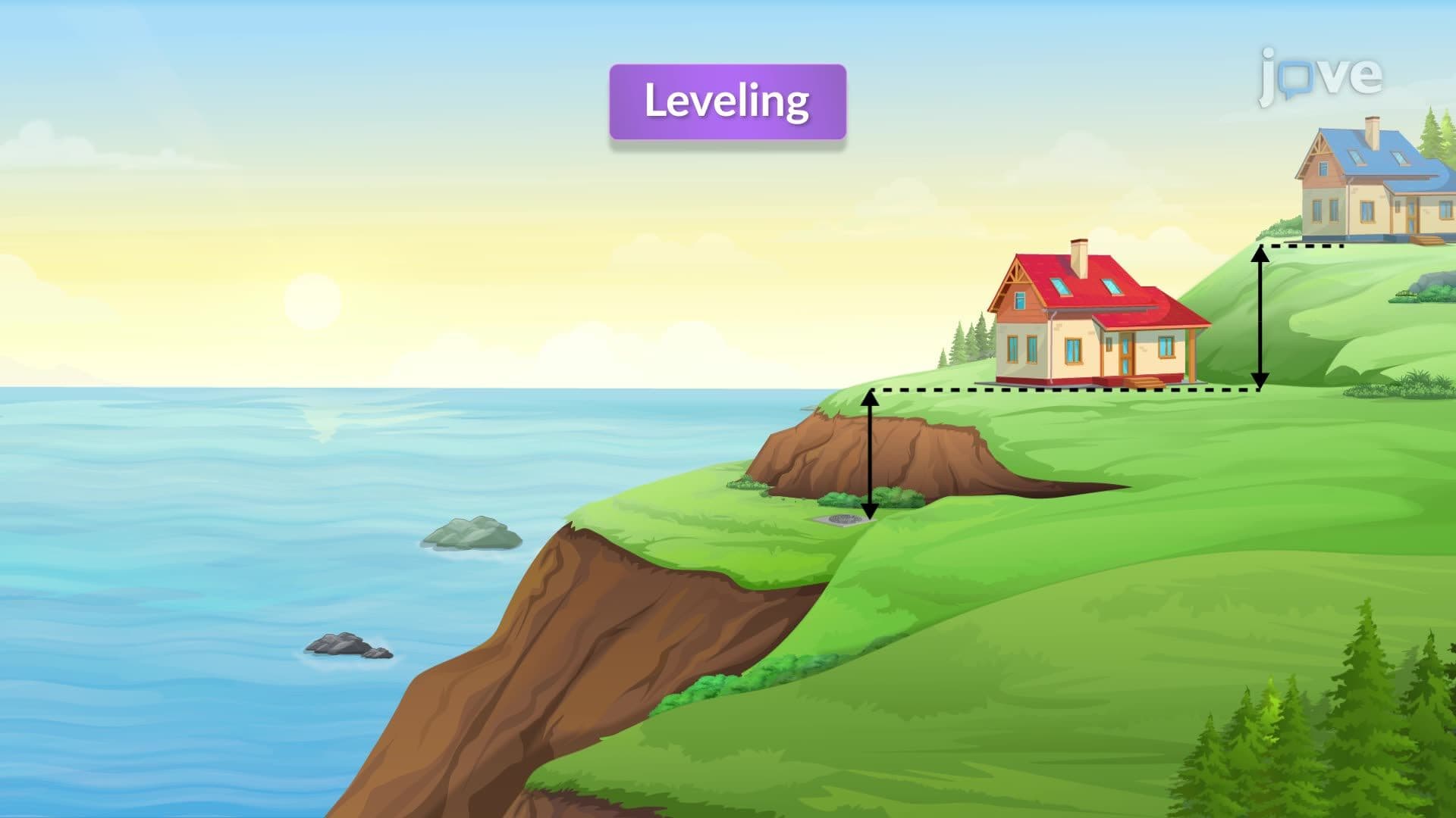
Earth's spherical shape creates fundamental challenges for precise leveling operations. Unlike idealized flat-earth assumptions taught in introductory geometry, real-world surveying must account for our planet's curvature, especially over distances exceeding several hundred meters. This geometric reality becomes critical in large-scale projects like interstate highway construction or urban planning initiatives.
The Mathematics Behind Curvature Deviation
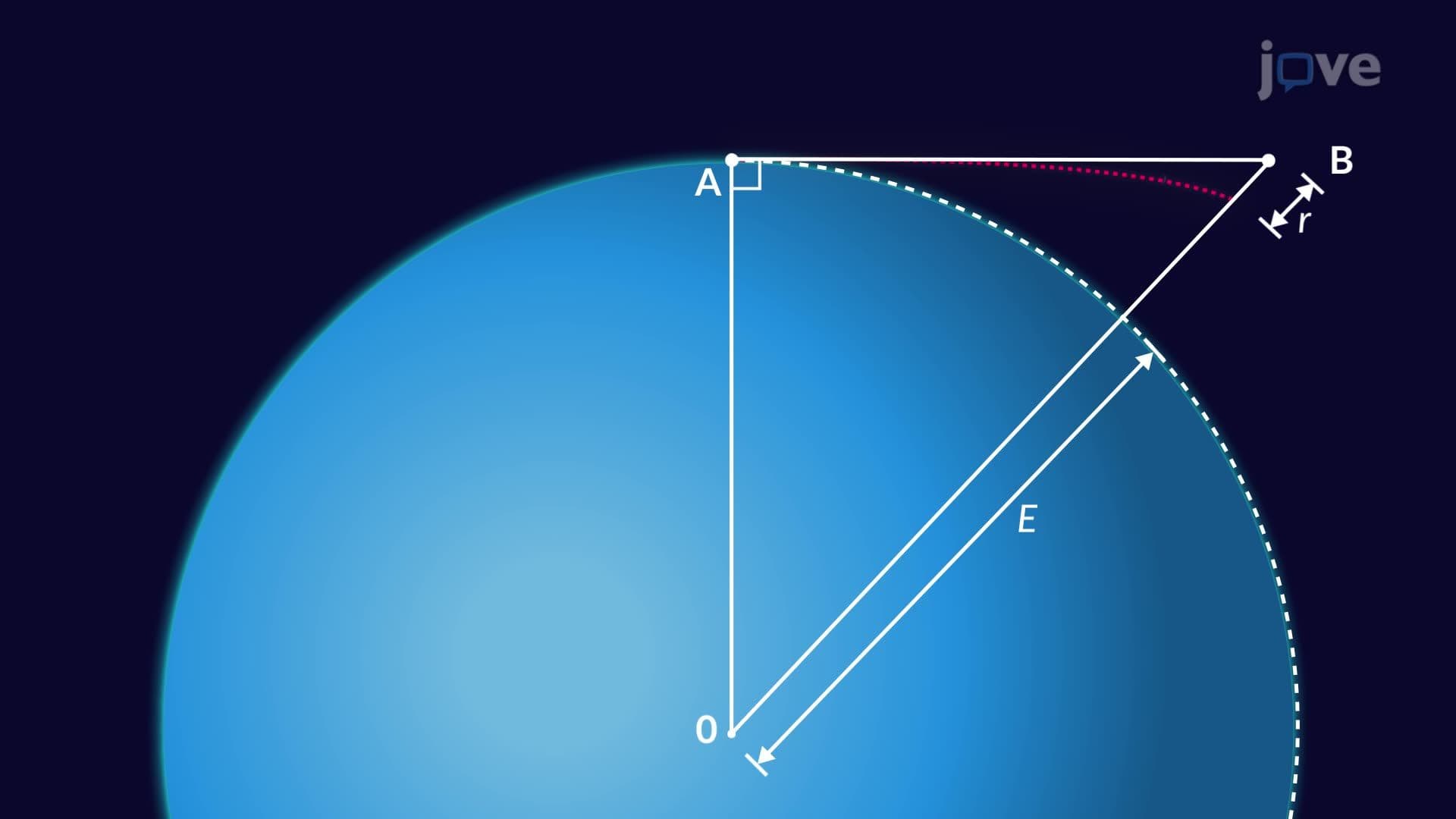
The curvature correction stems from basic geometric relationships. When establishing a level line across distance D, the line of sight remains tangent to Earth's surface only at the instrument location. As distance increases, the gap between this tangent line and Earth's curved surface grows quadratically. Using a right triangle with Earth's radius (approximately 6,371 kilometers) as one side, surveyors derive the fundamental curvature formula: C = D²/(2R), where C represents deviation, D is horizontal distance, and R is Earth's radius.
For practical calculations, this simplifies to approximately 0.0785 meters of deviation per kilometer of distance. Students preparing for AP Environmental Science or college-level surveying courses should remember this relationship follows a square law-doubling the distance quadruples the curvature effect. This concept frequently appears in civil engineering coursework and professional licensing examinations.
Atmospheric Refraction: The Complicating Factor
Atmospheric refraction adds complexity by bending light rays as they travel through air layers of varying density. Unlike curvature, which creates upward deviation, refraction bends sight lines downward by approximately 0.011 meters per kilometer-roughly one-seventh of curvature effects. Temperature gradients, humidity, and atmospheric pressure all influence refraction magnitude, making it somewhat unpredictable compared to the consistent geometric curvature.
Combined Effects in Professional Practice
Modern surveying practice combines both corrections, yielding a net upward deviation of about 0.0675 meters per kilometer. Major infrastructure projects-from California's Bay Area bridges to Florida's Everglades restoration-require these corrections for millimeter-level accuracy. Students should understand that ignoring these effects in MCAT physics problems or engineering coursework can lead to significant errors, particularly in problems involving large-scale measurements or satellite positioning systems.
Frequently Asked Questions
Earth's curvature causes level sight lines to deviate upward from the actual curved surface as distance increases. This geometric effect creates systematic errors in leveling operations, with deviations reaching 0.0785 meters per kilometer. Professional surveyors must apply curvature corrections for accurate measurements in construction and mapping projects.
Standardized tests often present curvature problems as geometry applications involving Earth's radius and tangent lines. Students might calculate sight-line deviations for given distances or determine when curvature corrections become necessary. MCAT questions may combine these concepts with optics principles when discussing atmospheric refraction effects.
Ignoring curvature leads to systematic height errors that accumulate with distance, causing structures to appear level when they're actually following Earth's curve. College surveying exams frequently test understanding of when these corrections become mandatory-typically beyond 300-meter distances for precision work.
Atmospheric refraction bends light rays downward as they pass through air layers of varying density, creating deviations of about 0.011 meters per kilometer. This effect combines with curvature to produce net deviations of approximately 0.0675 meters per kilometer in typical surveying conditions.
Major infrastructure projects like interstate highways, airport runways, and urban transit systems require curvature corrections when spanning several kilometers. Examples include surveying for Boston's Big Dig tunnel system or California's high-speed rail project, where millimeter-level accuracy demands accounting for Earth's spherical geometry.
The basic concepts build naturally on geometry and trigonometry skills from Algebra II and Pre-Calculus courses. Students comfortable with right triangles and quadratic relationships can master curvature calculations. The mathematical derivations use familiar geometric principles rather than advanced calculus.
Focus on memorizing the key relationship that curvature effects increase with the square of distance, practicing unit conversions between meters and kilometers, and working through sample calculations. Create reference cards with the standard correction values: 0.0785 m/km for curvature alone and 0.0675 m/km for combined curvature-refraction effects.
Advanced studies might include GPS error correction methods, satellite geodesy principles, or map projection mathematics. Students interested in civil engineering or geomatics can explore how modern electronic instruments automatically apply these corrections in professional surveying equipment.
Related Micro-courses
6 Concepts
9 Concepts
10 Concepts