Loading subject page…

- Civil Engineering
- Introduction to Surveying
- Distance Corrections
Micro-course: Introduction to Surveying
2,457 views
Learn key concepts and earn your certificate.


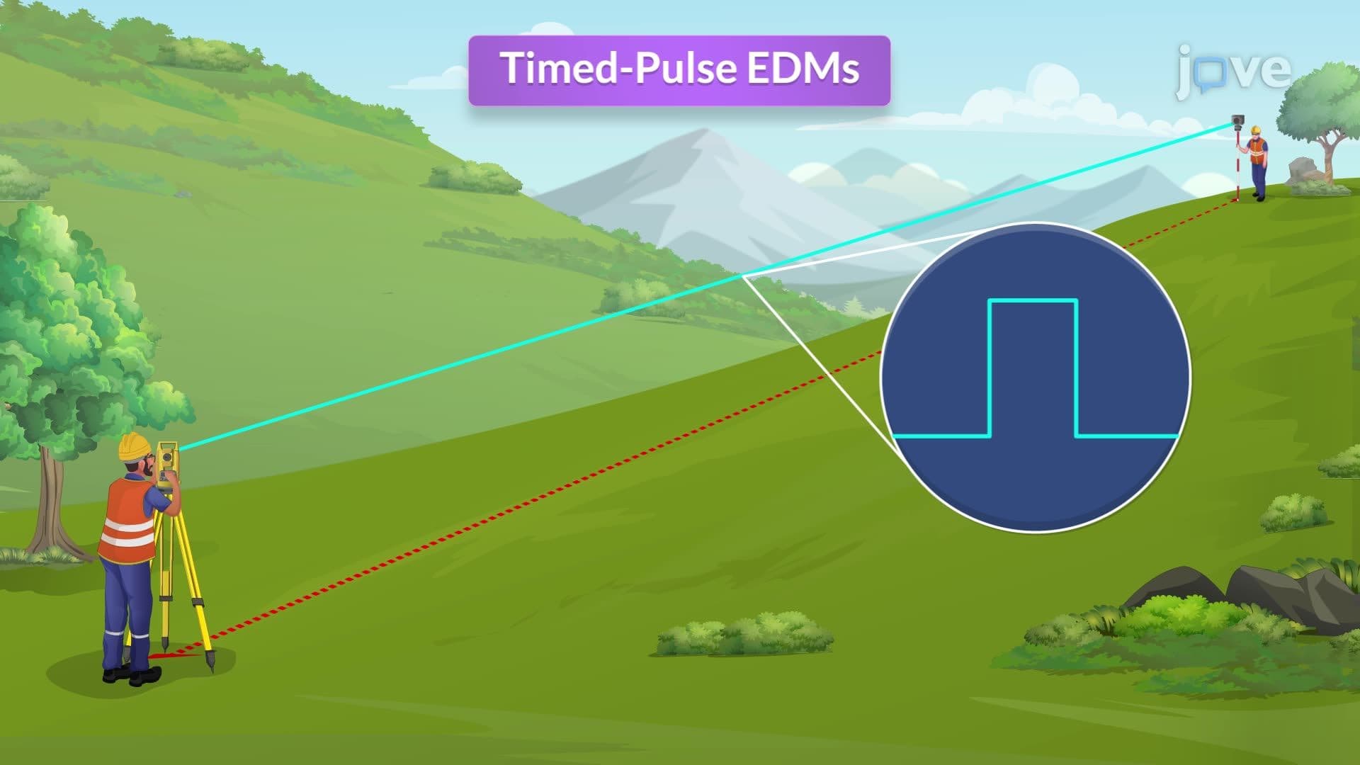
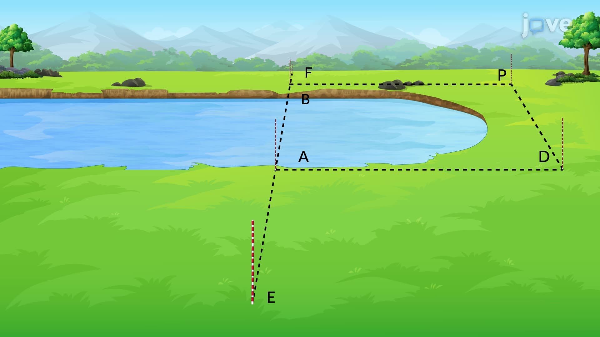
Distance Corrections
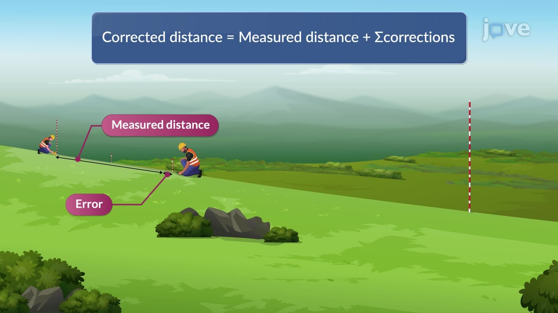

00:00
01:15
Video Summary: What Is Distance Corrections
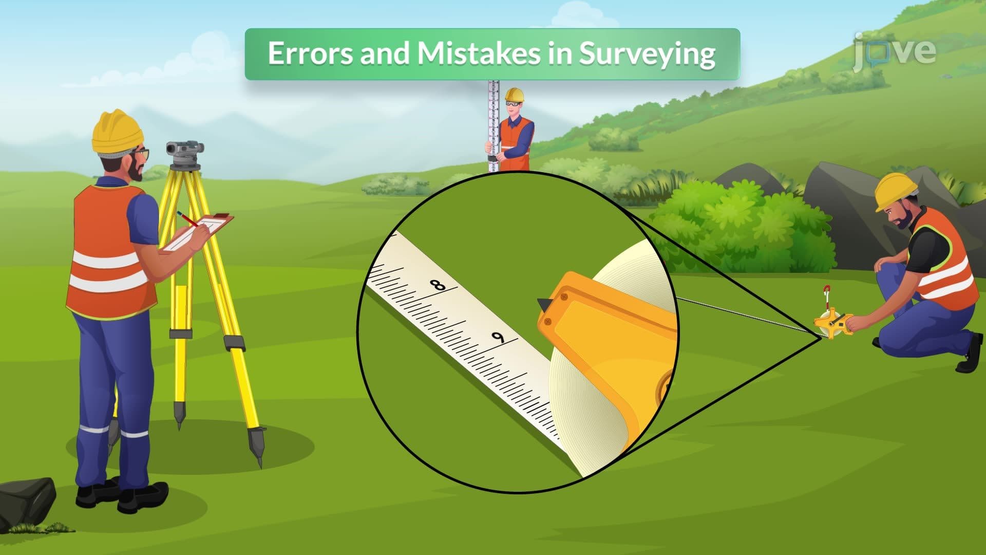
Ever wonder why construction crews double-check measurements on bridges like San Francisco's Golden Gate? Errors in taping can cause million-dollar mistakes in major infrastructure projects. When surveyors measure distances with steel tapes, factors like temperature changes, equipment wear, and sloped terrain create measurement inaccuracies that must be corrected. What is Distance Corrections addresses these critical adjustments that ensure precise measurements in engineering and construction. Watch the full video on JoVE Coach to master this concept with expert-led visuals and step-by-step explanations.
- Understand What is Distance Corrections and why accurate measurements require systematic error adjustments
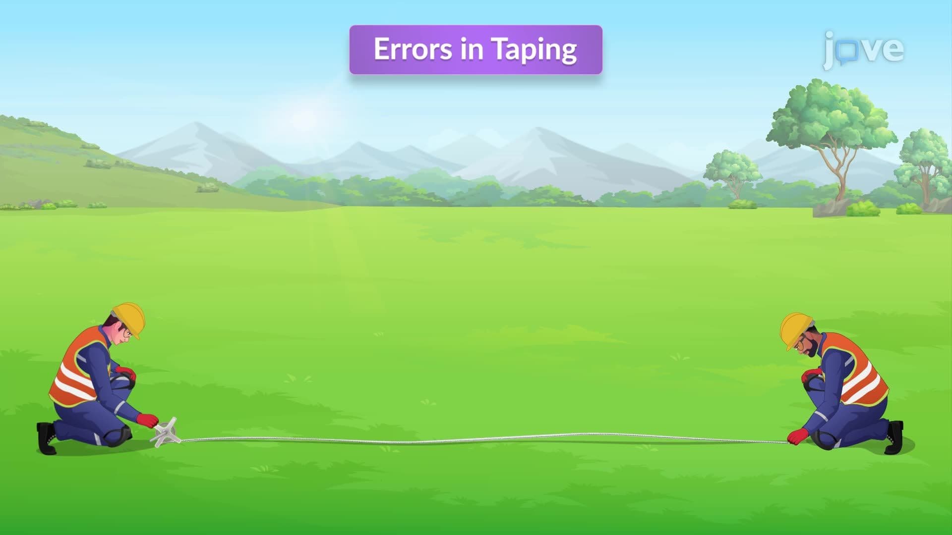
- Identify the three primary types of errors in taping: standardization, temperature, and slope corrections
- Analyze how equipment damage and environmental conditions affect measurement precision
- Evaluate the impact of steel tape thermal expansion using coefficient of linear expansion calculations
- Apply slope correction formulas to convert measured distances to true horizontal distances
- Recognize standardization procedures for calibrating measuring equipment against known standards
- Compare measurement accuracy under different weather conditions and terrain slopes
- Explore real-world applications in surveying, construction, and civil engineering projects
Understanding What is Distance Corrections in Surveying Practice
Distance corrections represent systematic adjustments made to raw measurements to eliminate known sources of error in surveying and engineering applications. Professional surveyors working on projects like the Interstate Highway System or urban development in cities like Houston must account for these corrections to ensure structural integrity and regulatory compliance.
Types of Errors in Taping: Standardization Corrections
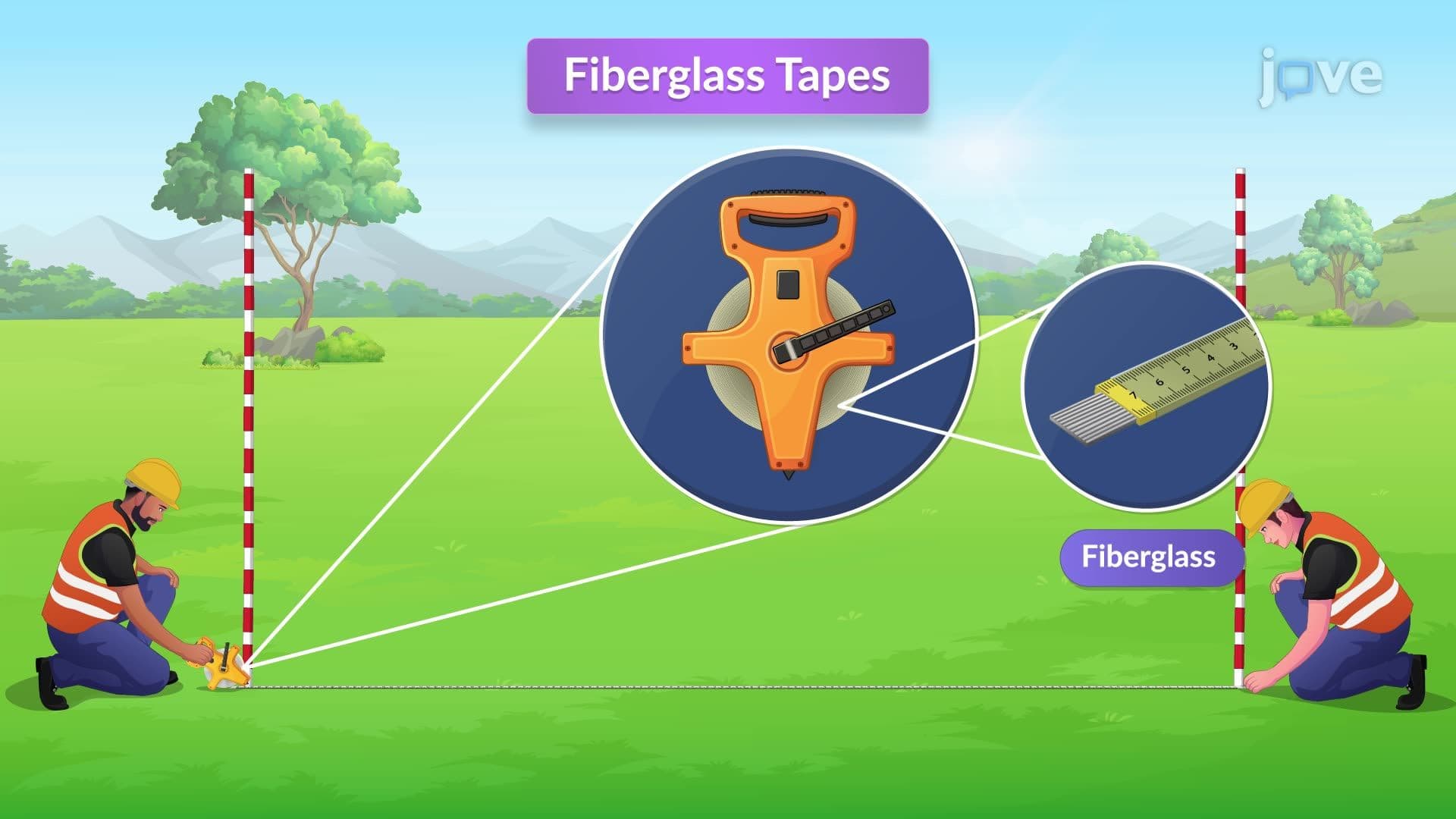
Standardization errors occur when measuring equipment deviates from its nominal length due to wear, damage, or manufacturing variations. For example, a 100-foot steel tape might actually measure 99.98 feet after extensive field use. Surveyors identify these errors in taping by comparing their equipment against certified standards maintained by the National Institute of Standards and Technology (NIST). The correction formula is: Correction = (Actual Length - Nominal Length) × (Measured Distance / Nominal Length). This process is crucial for projects like the California High-Speed Rail, where millimeter precision affects safety and functionality.
Temperature-Related Distance Corrections
Steel tapes expand and contract with temperature changes, following the coefficient of linear expansion (approximately 0.0000065 per degree Fahrenheit for steel). On hot Arizona construction sites, a steel tape can register significantly different measurements than on cool Oregon mornings. The temperature correction formula is: Correction = Coefficient × Length × Temperature Difference. This errors in taping overview concept frequently appears on AP Physics exams and civil engineering coursework, where students must calculate thermal expansion effects.
Slope Corrections for Horizontal Distance
When measuring along sloped terrain, the tape follows the ground contour rather than true horizontal distance. This creates systematic overestimation that must be corrected using the relationship between slope distance and horizontal distance. The correction is calculated as: Horizontal Distance = √(Slope Distance² - Vertical Distance²). This principle is essential for surveying projects in mountainous regions like Colorado's highway construction, where accurate horizontal distances determine proper grading and drainage.
Understanding what are errors in taping overview concepts prepares students for advanced surveying courses and professional licensing exams like the Fundamentals of Surveying (FS) examination administered by the National Council of Examiners for Engineering and Surveying (NCEES).
Frequently Asked Questions
Distance Corrections are systematic adjustments applied to raw measurements to eliminate known sources of error in surveying work. Surveyors need these corrections because factors like temperature, equipment wear, and terrain slopes can cause significant measurement inaccuracies that compromise construction safety and regulatory compliance. Without proper corrections, projects like bridge construction or property boundary surveys could have costly errors.
These concepts frequently appear as thermal expansion problems on AP Physics exams and surveying problems in civil engineering courses. Students typically calculate temperature corrections using coefficient of linear expansion or solve slope correction problems using Pythagorean theorem applications. Practice problems often involve real scenarios like highway construction or building layout.
College surveying courses cover standardization errors (equipment calibration), temperature corrections (thermal expansion), and slope corrections (horizontal distance calculations). Students learn to apply correction formulas and understand when each type becomes significant. These concepts build foundation knowledge for professional surveying licensure and advanced geomatics studies.
Distance corrections are critical in major infrastructure projects like interstate highways, skyscraper construction, and utility installations. For example, the Second Avenue Subway in New York required precise measurements for tunnel alignment, where small errors could cause costly construction delays. Bridge construction also demands accurate distance measurements to ensure proper structural connections.
The mathematical concepts use basic algebra and the Pythagorean theorem, making them accessible to students who have completed Algebra II. Most calculations involve straightforward substitution into correction formulas rather than complex mathematical derivations. Students with strong foundations in linear equations and basic trigonometry typically master these concepts quickly.
Focus on memorizing the three main correction types and their formulas: standardization, temperature, and slope corrections. Practice calculating corrections using realistic field scenarios and understand when each correction becomes significant. Create formula sheets and work through problems involving steel tape measurements under different conditions.
Advanced surveying courses expand into electronic distance measurement (EDM) corrections, atmospheric refraction effects, and GPS measurement uncertainties. Students also study error propagation in survey networks and statistical analysis of measurement precision. These concepts lead to specialized fields like geodetic surveying and precision engineering applications.
Electronic distance measurement devices and GPS systems automatically apply many corrections through built-in algorithms and real-time environmental sensors. However, understanding manual correction principles remains essential for equipment calibration, quality control, and situations where electronic systems may not be available or appropriate.
Combine textbook problems with hands-on measurement exercises using steel tapes under different temperature conditions. Practice applying correction formulas to realistic scenarios and understand the physical principles behind each correction type. Focus on understanding when corrections become significant rather than just memorizing formulas.
Related Micro-courses