Loading subject page…

- Civil Engineering
- Global Positioning System (gps)
- Types of Global Positioning System Surveys
Micro-course: Global Positioning System (GPS)
1,195 views
Learn key concepts and earn your certificate.



Types of Global Positioning System Surveys

00:00
01:30
Video Summary: What are Types of Global Positioning
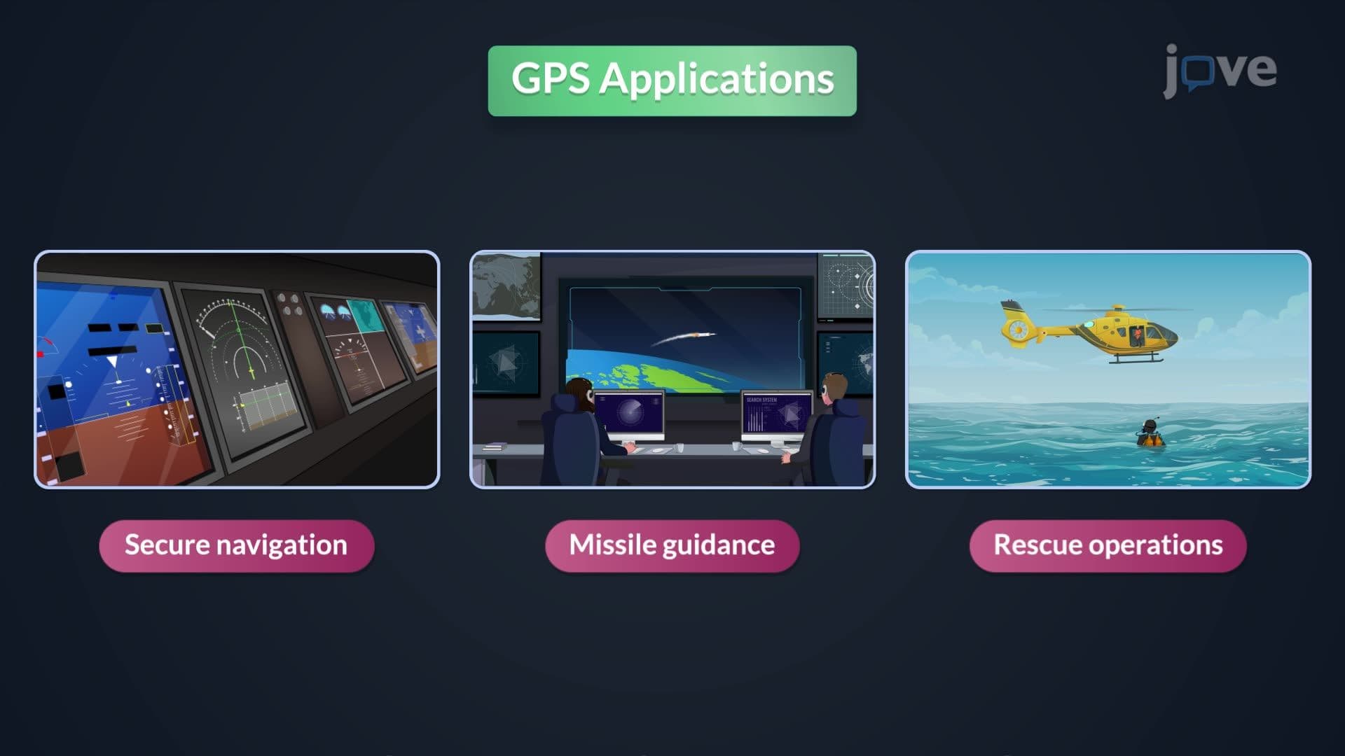
Ever wondered how your smartphone pinpoints your exact location within mere feet, or how surveyors achieve millimeter precision when mapping the Golden Gate Bridge? A design example identifying the locations through GPS surveying reveals three distinct methodologies that power everything from construction projects to emergency response systems. Static GPS achieves centimeter-level accuracy for control surveys, while kinematic methods track moving objects like Coast Guard vessels conducting oceanographic research. Watch the full video on JoVE Coach to master this concept with expert-led visuals and step-by-step explanations.
- Understand what are types of global positioning and distinguish between static, kinematic, and real-time kinematic GPS surveying methods
- Identify the optimal GPS surveying technique based on specific application requirements and accuracy demands
- Analyze how observation time, satellite geometry, and environmental conditions affect GPS positioning accuracy
- Compare the advantages and limitations of each positioning method for different surveying scenarios
- Evaluate when to use static GPS for control surveys versus kinematic methods for mobile applications
- Apply real-time kinematic GPS principles to solve engineering layout and large-scale mapping challenges
- Recognize how continuous satellite lock requirements impact GPS performance in obstructed environments
- Explore the relationship between receiver quality, atmospheric conditions, and positioning precision
Understanding What are Types of Global Positioning in Professional Surveying
Global positioning technology has transformed how we measure and map our world, with three primary GPS surveying methods forming the backbone of modern geospatial work. Each technique serves specific applications where precision, mobility, and real-time data requirements vary significantly. From establishing property boundaries to guiding construction of major infrastructure projects like California's high-speed rail system, understanding these positioning types is crucial for anyone entering surveying, engineering, or geospatial fields.
Static GPS Positioning: Maximum Precision for Control Networks
Static GPS surveying represents the gold standard for high-precision positioning applications. This method involves strategically placing GPS receivers at known control points and target locations, allowing them to collect satellite data over extended periods-typically 30 minutes to several hours. The technique excels in establishing primary control networks for large projects, such as the geodetic framework used in monitoring movements along the San Andreas Fault system.
The design example identifying the locations through static GPS demonstrates how repeated satellite observations over time eliminate random errors and atmospheric disturbances. By processing differential corrections between the base station and rover receivers, surveyors achieve centimeter-level accuracy across distances spanning several kilometers. This precision makes static GPS indispensable for legal boundary surveys, construction control points, and scientific monitoring applications where measurement certainty is paramount.
Kinematic GPS: Positioning in Motion
Kinematic GPS surveying revolutionizes data collection by enabling accurate positioning while receivers remain in motion. This design example identifying the locations tutorial shows how the method suits dynamic applications like topographic mapping, where surveyors can efficiently collect thousands of elevation points while walking across terrain. The U.S. Geological Survey extensively uses kinematic GPS for updating topographic maps and monitoring coastal erosion patterns.
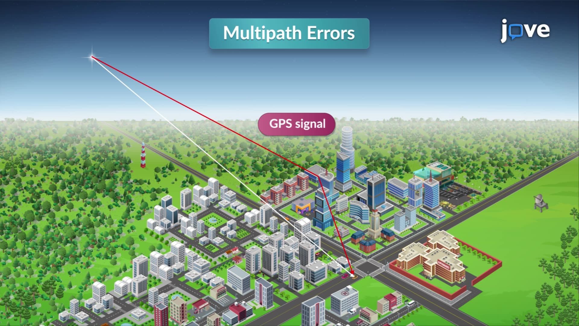
The key advantage lies in rapid data collection without sacrificing significant accuracy. When kinematic receivers pause briefly, they can achieve precision levels comparable to static methods. However, the technique requires maintaining continuous satellite lock, which creates challenges in environments with signal obstructions like dense urban areas or heavily forested regions.
Real-Time Kinematic (RTK) GPS: Instant Precision
Real-time kinematic GPS represents the cutting edge of positioning technology, combining the precision of static methods with the efficiency of kinematic surveying. This design example identifying the locations concept utilizes a base station that broadcasts differential corrections to mobile rovers, enabling centimeter-level accuracy in real-time. Major construction projects, including the expansion of Los Angeles International Airport, rely on RTK GPS for precise equipment positioning and grade control.
Understanding how design example identifying the locations works through RTK systems is essential for modern surveying practice. The technology has become standard in precision agriculture, where farmers use RTK-guided tractors for planting and harvesting, and in autonomous vehicle development programs at companies like Tesla and Waymo.
Frequently Asked Questions
The three main types are static GPS (stationary receivers for maximum accuracy), kinematic GPS (mobile positioning while moving), and real-time kinematic GPS (instant corrections for immediate precision). Each method serves different applications based on accuracy requirements, mobility needs, and real-time data demands. Static GPS achieves the highest precision for control surveys, while RTK provides immediate centimeter-level accuracy for construction and engineering applications.
GPS surveying concepts frequently appear in questions about environmental monitoring, land use analysis, and geographic information systems. Students might encounter scenarios involving wildlife tracking, deforestation mapping, or coastal erosion studies. The College Board emphasizes understanding how different GPS methods support environmental research and policy decisions.
The FE exam tests understanding of surveying principles, including GPS accuracy limitations, coordinate systems, and error sources. Expect problems involving horizontal and vertical accuracy specifications, observation time calculations, and method selection for specific engineering applications. Practice questions often focus on when to use static versus kinematic methods for different project requirements.
The National Park Service typically employs kinematic GPS for trail mapping because it allows continuous data collection while hiking along existing paths. This method efficiently captures trail coordinates, elevation profiles, and geographic features without requiring extended stationary observations. For establishing permanent survey monuments or boundary markers, they would use static GPS for maximum legal defensibility.
GPS surveying concepts are accessible to high school students with basic algebra and geometry skills. The fundamental principles involve measuring distances and angles, similar to traditional surveying methods but enhanced with satellite technology. While professional applications require specialized software training, understanding the core concepts and method selection criteria builds naturally from introductory physics and earth science knowledge.
Focus on understanding when to apply each GPS method rather than memorizing technical specifications. Create comparison charts highlighting accuracy ranges, observation times, and typical applications for static, kinematic, and RTK methods. Practice identifying optimal techniques for given scenarios, such as property boundary surveys versus topographic mapping projects.
Explore coordinate reference systems, datum transformations, and network adjustments to understand how GPS data integrates with existing mapping systems. Study atmospheric correction models, satellite constellation geometry effects, and multi-frequency receivers. Consider learning about emerging technologies like Precise Point Positioning (PPP) and integration with other positioning systems like LiDAR for comprehensive geospatial solutions.
Related Micro-courses