Loading subject page…

- Civil Engineering
- Geographic Information Systems (gis)
- Thematic Layering in GIS
Micro-course: Geographic Information Systems (GIS)
1,932 views
Learn key concepts and earn your certificate.


Thematic Layering in GIS

00:00
01:30
Video Summary: What Is Thematic Layering in Gis
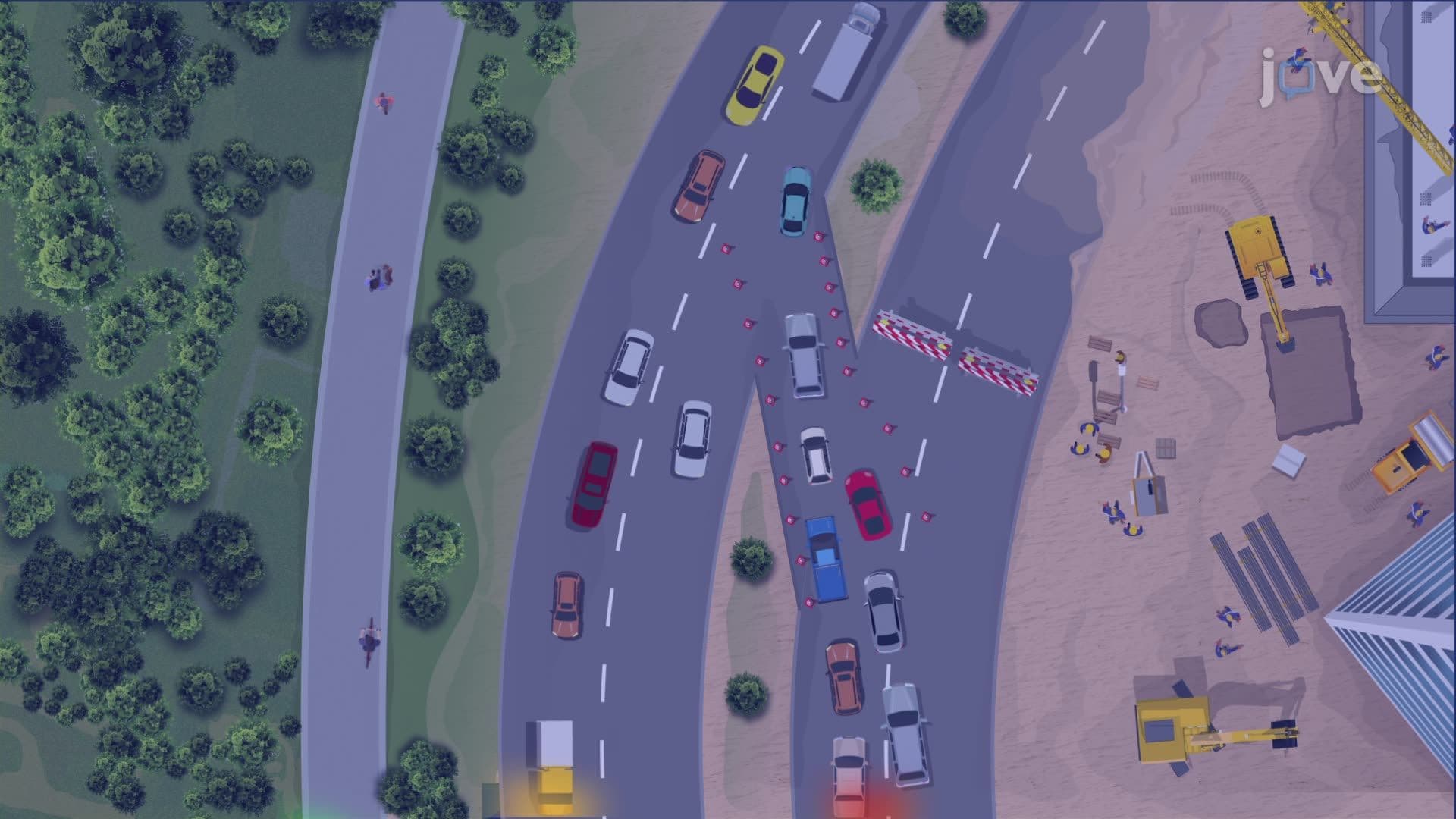
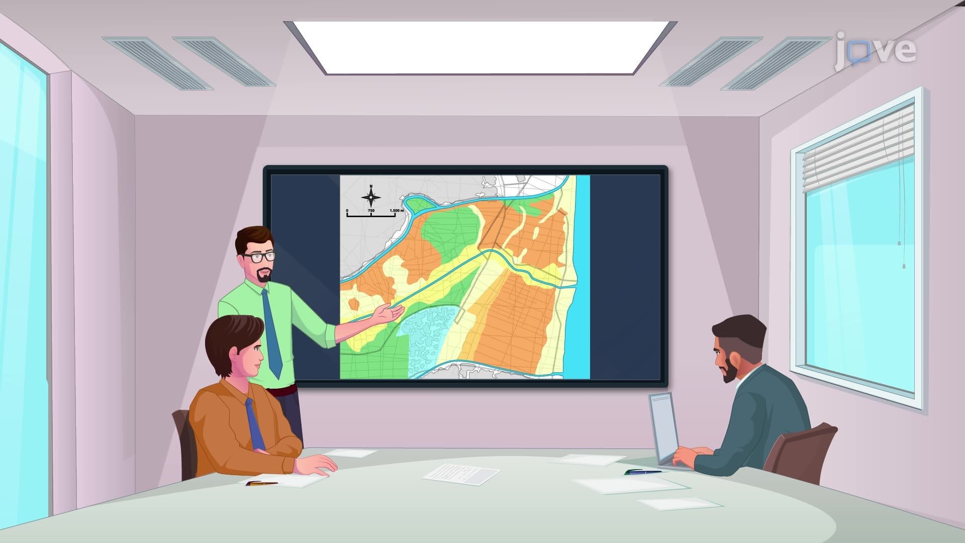
Did you know urban planners can now evaluate flood risks, soil conditions, and property boundaries for a new school site in just hours instead of months? Understanding levels of use GIS begins with mastering thematic layering-the foundation that makes Geographic Information Systems so powerful. When the City of Austin planned their new public library system, GIS thematic layering allowed planners to overlay demographic data, transportation routes, and zoning regulations simultaneously, creating comprehensive visual maps that guided optimal location decisions. Watch the full video on JoVE Coach to master this concept with expert-led visuals and step-by-explanations.
- Understand what is thematic layering in GIS and how it organizes geographic data into distinct, analyzable layers
- Identify different types of thematic layers including property boundaries, soil conditions, vegetation, and infrastructure data
- Apply thematic layering principles to solve real-world planning problems by overlaying multiple data sources
- Analyze how GIS revolutionized traditional data collection methods from manual, time-intensive processes to digital efficiency
- Compare the advantages of digital thematic layering versus traditional paper-based mapping systems
- Evaluate the impact of color-coded visualization techniques on data interpretation and decision-making
- Recognize practical applications of thematic layering in urban planning, environmental management, and facility development
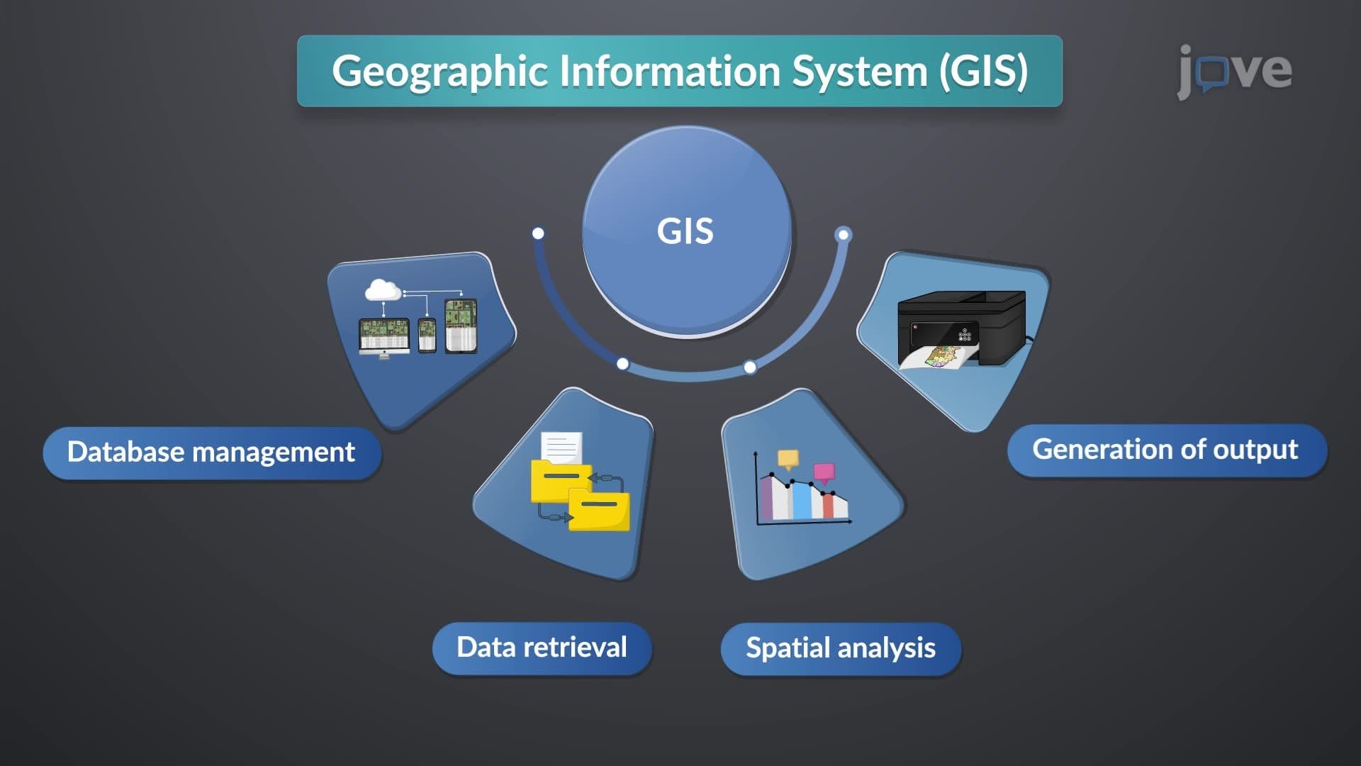
- Explore how modern GIS systems integrate multiple data sources to create comprehensive analytical tools
Understanding Thematic Layering in GIS Fundamentals
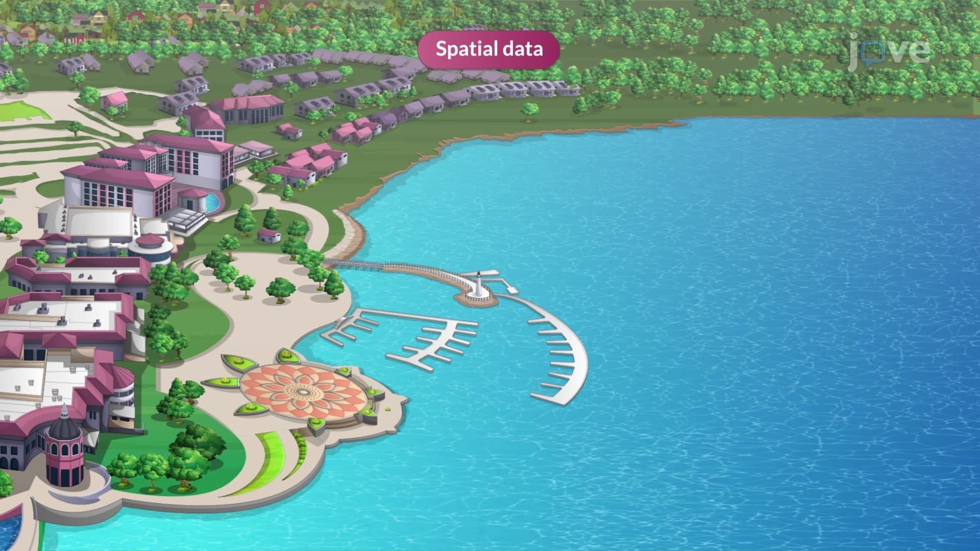
Levels of use GIS encompass various applications, with thematic layering serving as the cornerstone technology that transforms raw geographic data into actionable intelligence. Thematic layering represents a revolutionary approach to spatial data organization where complex geographic information is separated into distinct, manageable layers-each representing a specific theme or data category.
Think of thematic layering like a stack of transparent sheets, where each sheet contains one type of information. The bottom layer might show property boundaries, the next layer displays soil types, another shows flood zones, and the top layer indicates existing infrastructure. When stacked together, these layers create a comprehensive picture that reveals relationships and patterns invisible when examining each dataset separately.
Types of Levels of Use GIS Through Thematic Organization
The types of levels of use GIS become clear when examining how thematic layers categorize information. Physical layers include topography, soil composition, water bodies, and vegetation patterns. Infrastructure layers encompass roads, utilities, buildings, and transportation networks. Regulatory layers contain zoning boundaries, environmental restrictions, and jurisdictional limits. Demographic layers incorporate population data, income statistics, and community characteristics.
For AP Environmental Science students, understanding these layer categories proves essential for exam success. The College Board frequently tests concepts related to land use planning and environmental impact assessment-both heavily dependent on GIS thematic layering principles.
Real-World Applications and Academic Relevance
What are levels of use GIS overview questions often appear on college geography and environmental science exams. Consider how the Federal Emergency Management Agency (FEMA) uses thematic layering to create flood insurance rate maps. FEMA overlays historical flood data, current topography, projected rainfall patterns, and existing development to determine flood risk zones across American communities.
Students preparing for AP Human Geography exams encounter thematic layering concepts when studying urban planning and sustainable development. The ability to analyze multiple geographic variables simultaneously-a core GIS skill-directly supports success in spatial analysis free-response questions.
Practical Implementation and Study Strategies
Modern levels of use GIS study guide materials emphasize hands-on application. Universities like Penn State and UC Davis integrate ArcGIS software into undergraduate coursework, allowing students to create their own thematic layers. Students might overlay census data with environmental hazards to identify vulnerable populations or combine transportation networks with demographic information to plan public services.
For standardized test preparation, focus on understanding how thematic layering enables complex spatial analysis. Practice interpreting multi-layered maps and explaining how different data types interact to influence decision-making processes.
Frequently Asked Questions
Thematic layering in GIS organizes different types of geographic data into separate, overlayable digital layers that can be analyzed together. This system allows planners, researchers, and analysts to visualize complex relationships between multiple data sources simultaneously, making it essential for informed decision-making in urban planning, environmental management, and resource allocation. The layering approach transforms overwhelming amounts of geographic information into manageable, analyzable components.
AP exams frequently test thematic layering through questions about land use planning, environmental impact assessment, and spatial analysis. Students must demonstrate understanding of how multiple geographic variables interact to influence environmental and human systems. Exam questions often present scenarios requiring analysis of overlapping factors like population density, environmental hazards, and resource availability-all core applications of thematic layering principles.
College exams typically include map interpretation questions, case study analyses, and spatial relationship explanations involving thematic layers. Students might analyze urban development scenarios, environmental impact assessments, or resource management plans. Questions often require identifying appropriate layer combinations for specific planning objectives and explaining how different data types contribute to comprehensive spatial analysis.
FEMA uses thematic layering to create flood insurance rate maps by overlaying historical flood data, topography, rainfall projections, and current development patterns. The EPA applies similar techniques for environmental monitoring, combining air quality data, industrial locations, population demographics, and health statistics to identify pollution patterns and vulnerable communities. These real-world applications demonstrate thematic layering's critical role in public safety and environmental protection.
No advanced mathematics is required to grasp thematic layering fundamentals. The concept relies more on logical thinking and spatial reasoning than complex calculations. High school algebra provides sufficient mathematical background for understanding basic GIS operations. Focus on developing skills in data interpretation, pattern recognition, and logical analysis rather than worrying about mathematical complexity.
Practice interpreting multi-layered maps and identifying relationships between different data types. Create your own simple thematic layer examples using local data like school locations, demographics, and transportation routes. Focus on explaining how combining different layers reveals patterns and supports decision-making processes. Review real-world case studies from US planning projects to understand practical applications.
Thematic layering serves as the foundation for advanced GIS concepts including spatial modeling, network analysis, and predictive mapping. Once you master layering principles, you'll be prepared to explore topics like watershed analysis, site suitability modeling, and transportation planning. These advanced applications build directly on thematic layering fundamentals, making it an essential stepping stone to comprehensive GIS understanding.
Urban and regional planning, environmental consulting, emergency management, public health analysis, and natural resource management all rely extensively on thematic layering. Government agencies, consulting firms, non-profit organizations, and private companies seeking location-based solutions actively recruit professionals with strong GIS skills. Understanding thematic layering opens doors to diverse career opportunities in both technical and policy-oriented roles.
Related Micro-courses