Loading video…


 9 Concepts
 1.9K views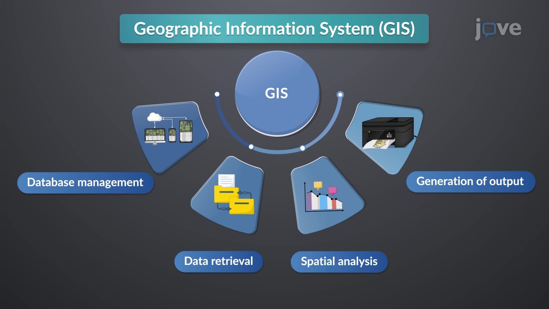

Video Summary: Gis Software Hardware and Sources Explained
Did you know that manipulation and analysis of spatial data helped NASA track Hurricane Katrina's path in 2005, potentially saving thousands of lives? The manipulation and analysis definition encompasses the core processes within Geographic Information Systems, where specialized software transforms raw geographic data into actionable insights. From the U.S. Geological Survey's earthquake monitoring to urban planning in cities like San Francisco, understanding what is manipulation and analysis in detail reveals how GIS Software Hardware And Sources Explained forms the backbone of modern spatial decision-making. Watch the full video on JoVE Coach to master this concept with expert-led visuals and step-by-step explanations.
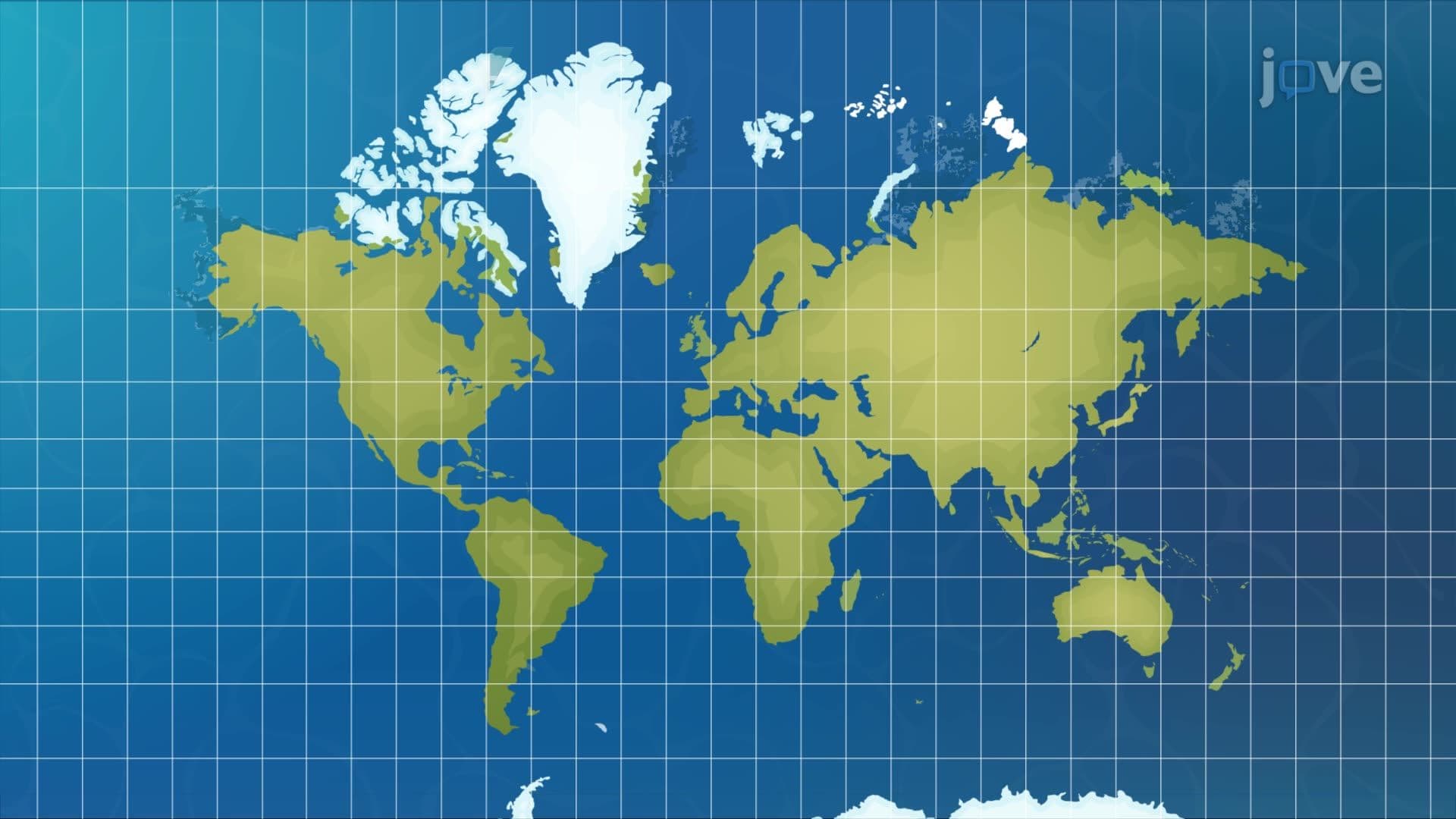
The manipulation and analysis of spatial data represents one of the most powerful applications of modern computing technology. At its core, the manipulation and analysis definition encompasses the systematic processing of geographic information to extract meaningful patterns, relationships, and insights. This process relies on sophisticated Geographic Information Systems that integrate hardware, software, and data sources into cohesive analytical frameworks.
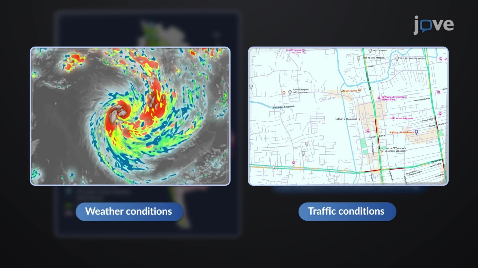
When exploring what is manipulation and analysis in detail, we must examine the four fundamental functions that define GIS operations. Database management forms the foundation, organizing vast datasets from sources like the U.S. Census Bureau's demographic information or the National Weather Service's meteorological records. Data retrieval mechanisms allow users to access specific information subsets, while spatial analysis functions perform complex calculations to identify patterns, measure distances, and model geographic phenomena.
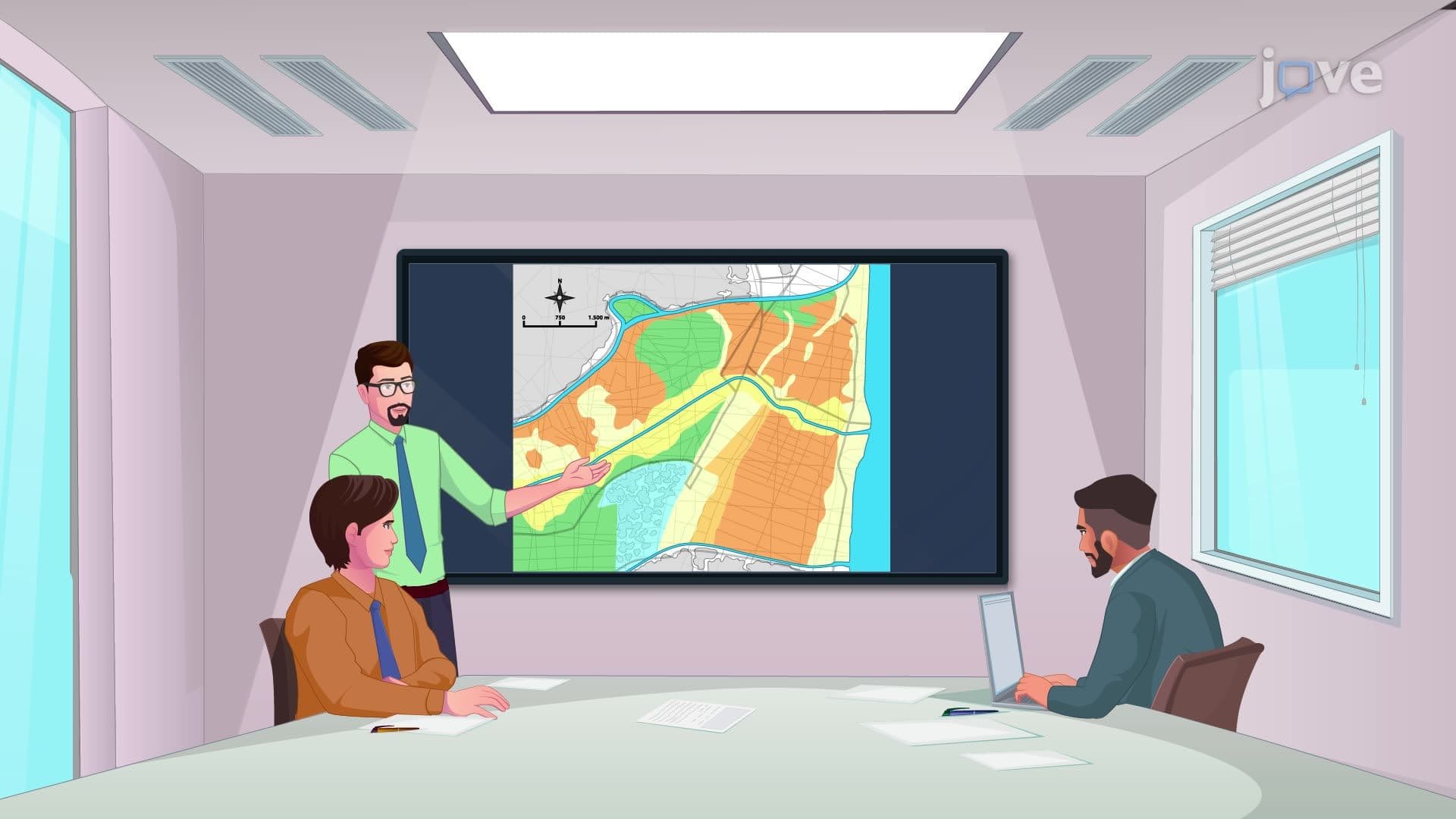
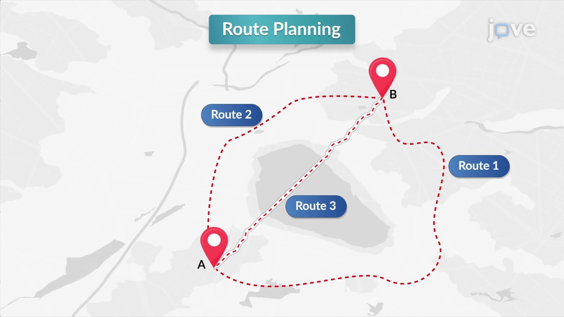
The manipulation and analysis overview reveals how these systems transform raw data into decision-making tools. For instance, the Federal Emergency Management Agency (FEMA) uses GIS manipulation and analysis to assess flood risks across American communities, combining topographic data from USGS with historical weather patterns from NOAA. This integration demonstrates the manipulation and analysis basics in action, where multiple data layers merge to create comprehensive risk assessments.
The manipulation and analysis concept extends beyond software to encompass specialized hardware components. Modern GIS systems rely on high-performance computers capable of processing massive datasets, while digitizers and scanners convert traditional paper maps into digital formats. GPS-integrated handheld devices enable real-time field data collection, essential for projects like the U.S. Forest Service's wildfire monitoring programs.
Output hardware plays an equally critical role in the manipulation and analysis study guide framework. Large-format plotters produce detailed maps for agencies like the Bureau of Land Management, while high-resolution printers create reports for environmental impact assessments required by the Environmental Protection Agency.
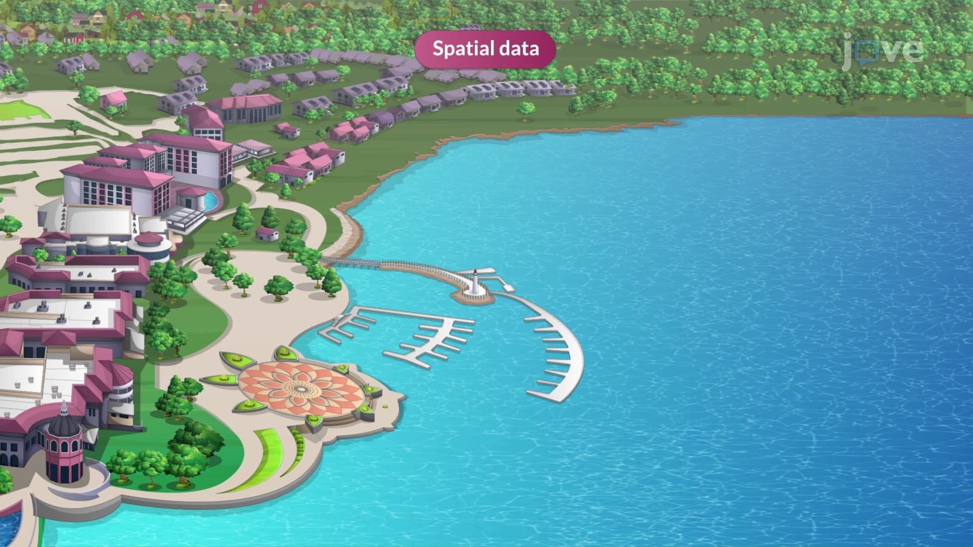
Understanding manipulation and analysis requires recognizing the diverse origins of spatial data. Government agencies provide foundational datasets: USGS supplies topographic maps and geological surveys, while NOAA contributes weather patterns and oceanographic information. The U.S. Department of Agriculture's National Agricultural Statistics Service offers crop yield data essential for farming applications.
When existing data proves insufficient, field collection becomes necessary. Surveying teams use total stations and GPS equipment to establish precise control points, particularly important for infrastructure projects like the Interstate Highway System expansions. Satellite imagery and orthophotos from commercial providers enhance these datasets, ensuring accuracy standards required for applications ranging from AP Environmental Science coursework to professional civil engineering examinations.
This comprehensive approach to spatial data manipulation and analysis prepares students for advanced study in geography, environmental science, and urban planning programs at institutions like UC Berkeley's Department of Geography or MIT's Department of Urban Studies and Planning.
Related Micro-courses