Loading subject page…

- Civil Engineering
- Geographic Information Systems (gis)
- Introduction to GIS
Micro-course: Geographic Information Systems (GIS)
1,932 views
Learn key concepts and earn your certificate.

Introduction to GIS

00:00
01:28
- Understand how Geographic Information Systems (GIS) integrate spatial data with attribute information to create comprehensive analytical tools
- Identify the core components of GIS technology, including cartography, database management systems, remote sensing, and computer-aided design
- Analyze how thematic layering enables complex spatial queries and visualization of geographic patterns
- Compare different GIS applications across industries such as urban planning, environmental monitoring, and public health
- Evaluate real-world scenarios where GIS transforms raw data into actionable insights for decision-makers
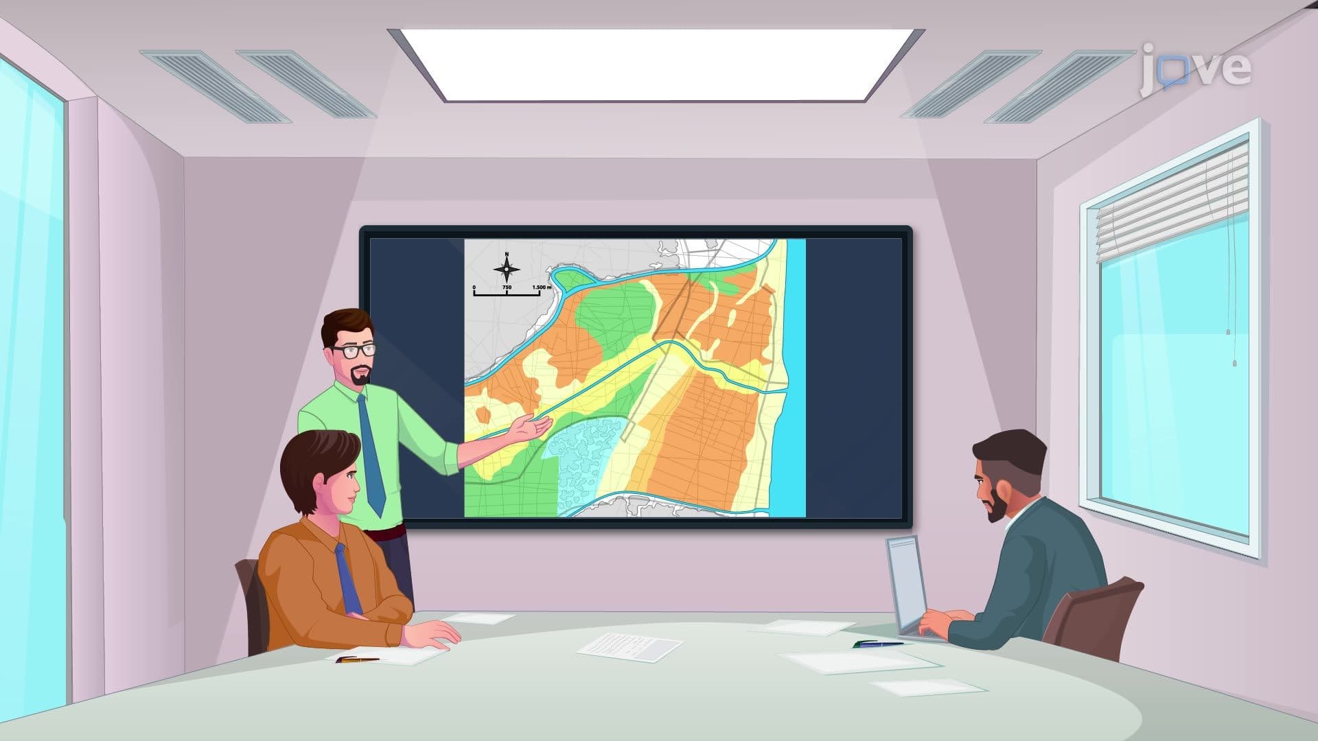
- Apply GIS concepts to understand how housing data, zip codes, and demographic information create density maps
- Recognize the role of thematic mapping in visualizing geographic distributions through gradients and shading techniques
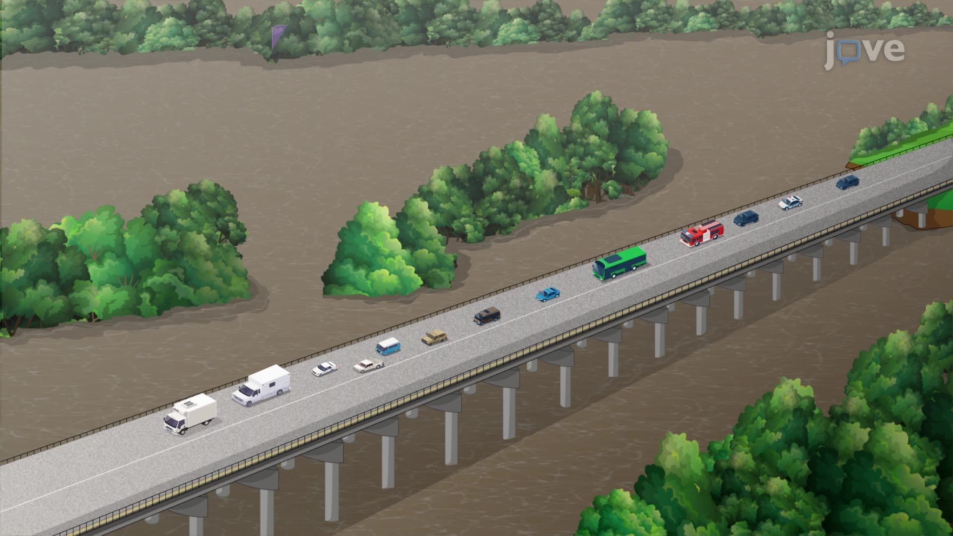
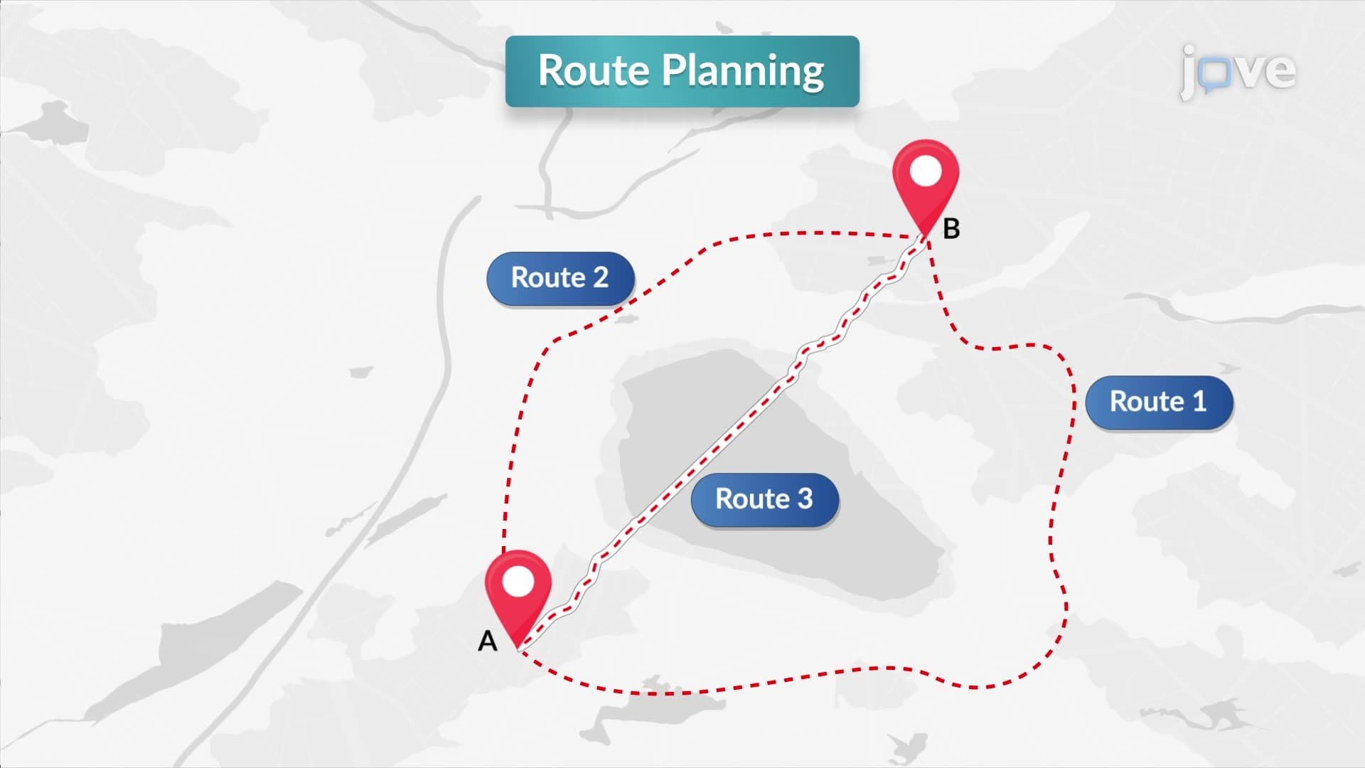
- Explore career applications of GIS in emergency response, epidemiology, transportation optimization, and infrastructure management
Understanding Geographic Information Systems (GIS) Fundamentals
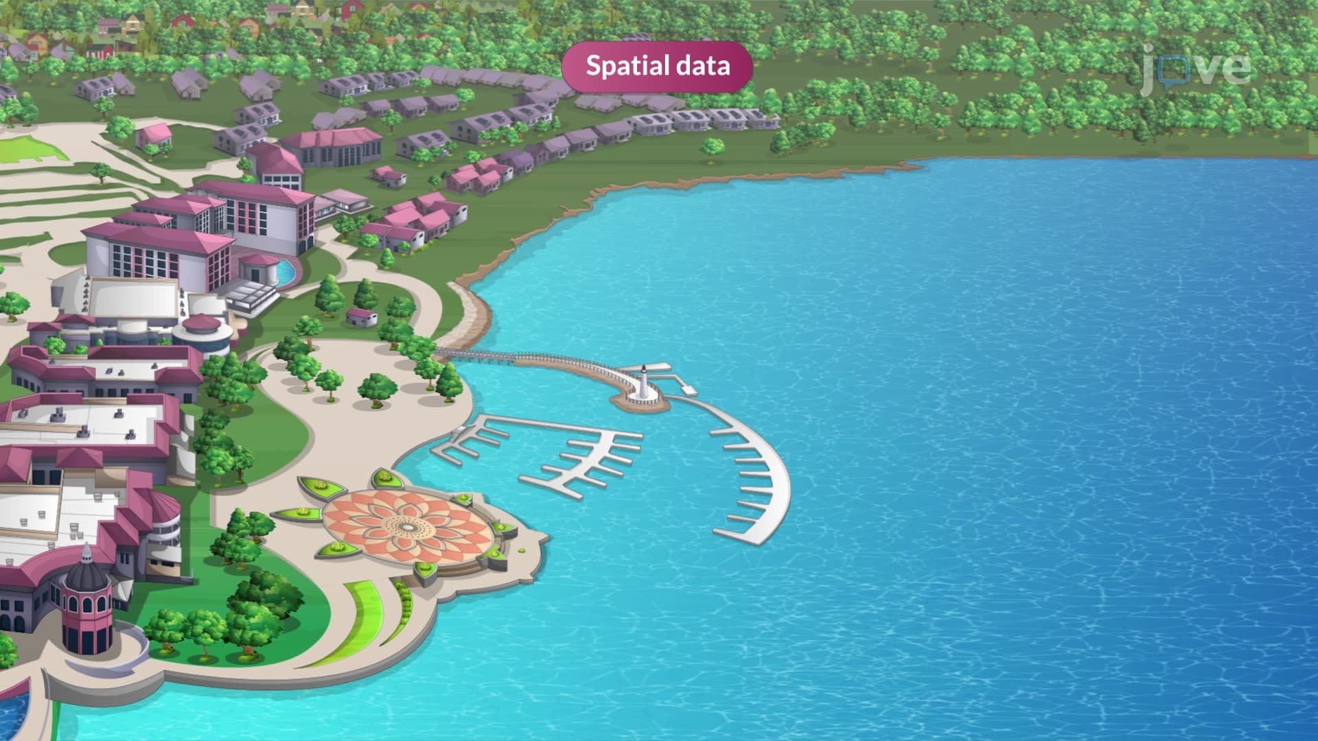
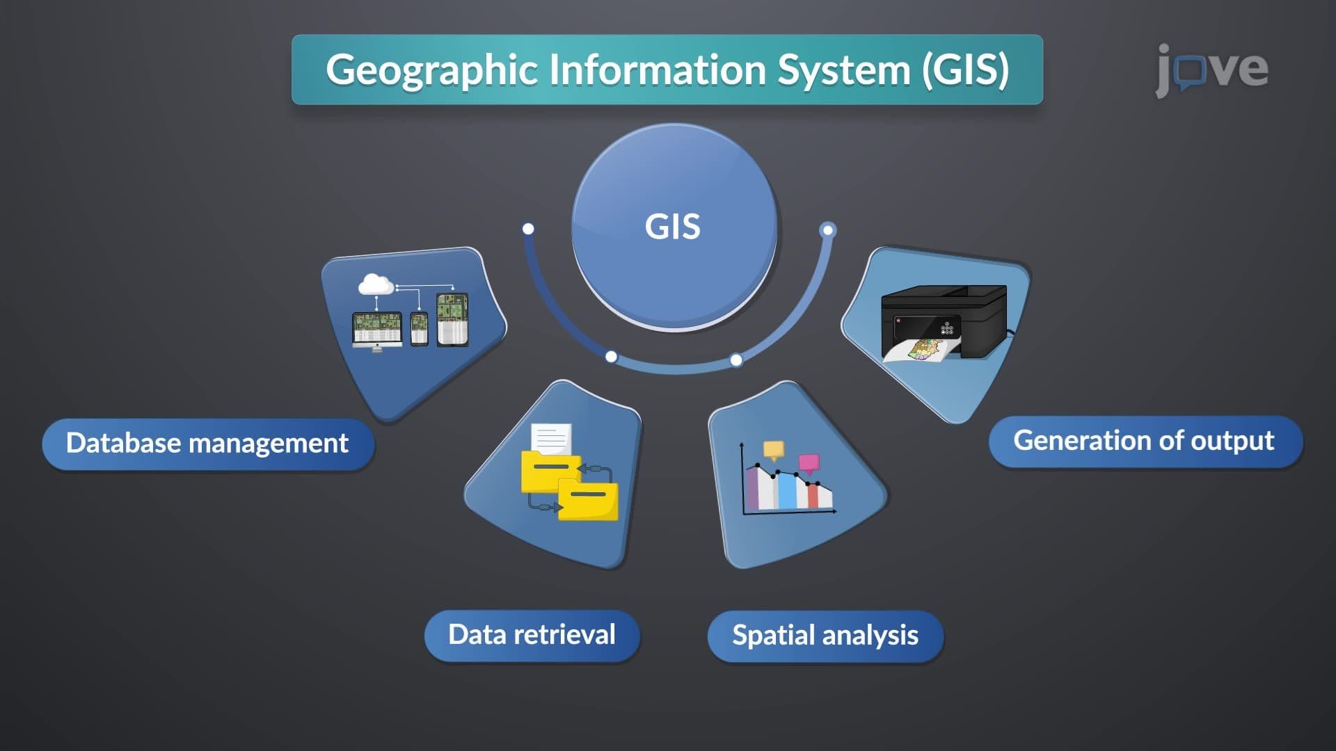
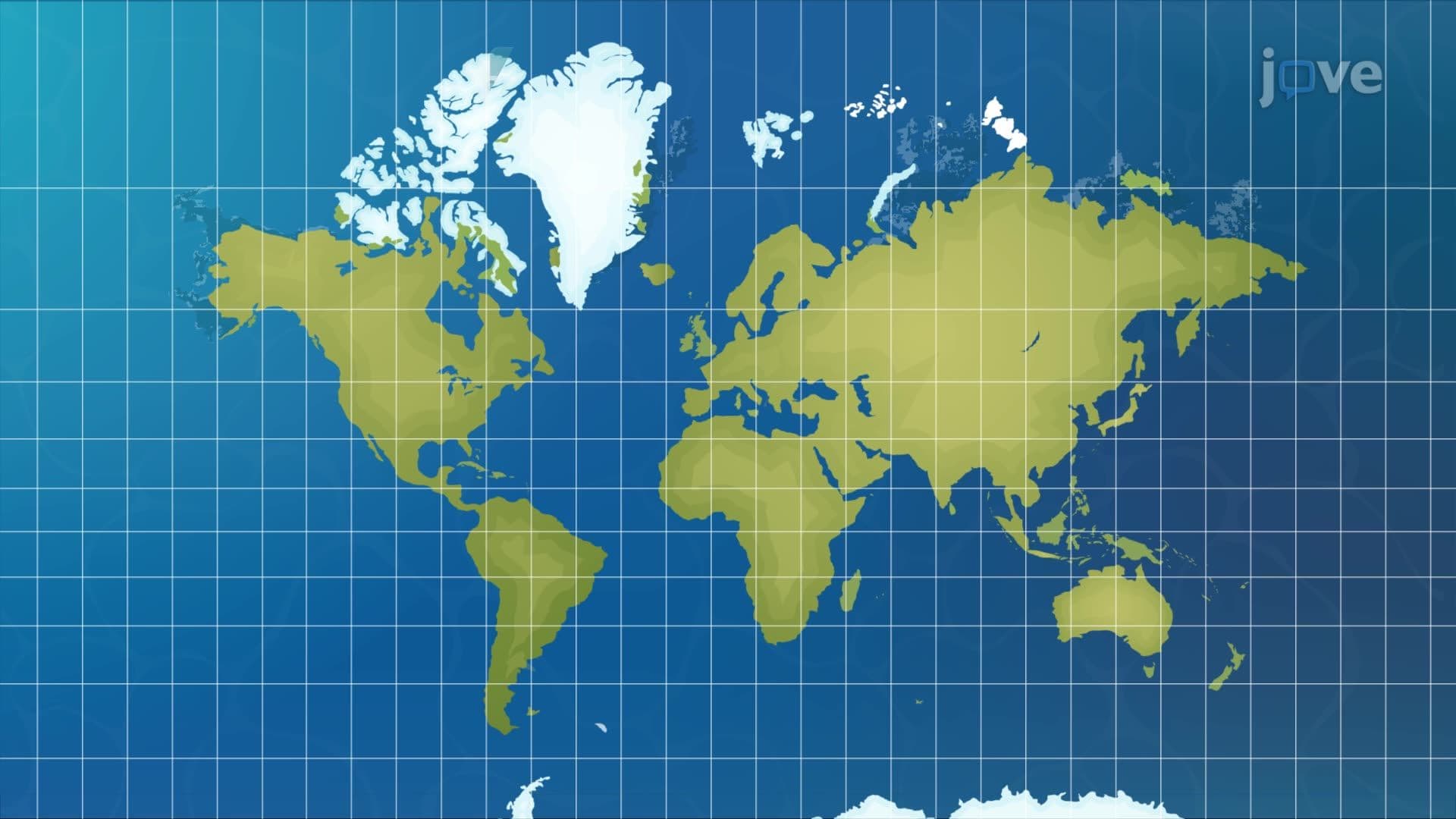
Geographic Information Systems represent a convergence of multiple technologies that revolutionize how we collect, store, analyze, and visualize spatial information. At its core, GIS combines the visual power of cartography with the analytical capabilities of database management systems, enhanced by remote sensing data and computer-aided design tools. This integration creates a comprehensive platform for understanding complex spatial relationships that would be impossible to grasp through traditional data analysis methods.
Thematic Layering in GIS: The Foundation of Spatial Analysis
Thematic layering in GIS forms the backbone of spatial analysis by allowing multiple data sets to be overlaid and analyzed simultaneously. Each thematic layer represents a specific type of information—such as elevation, population density, land use, or infrastructure—that can be visualized independently or in combination with other layers. For example, the U.S. Census Bureau uses thematic layering to combine demographic data with geographic boundaries, creating detailed maps that show income distribution, educational attainment, and housing patterns across different zip codes and census tracts.
Real-World Applications and Industry Impact
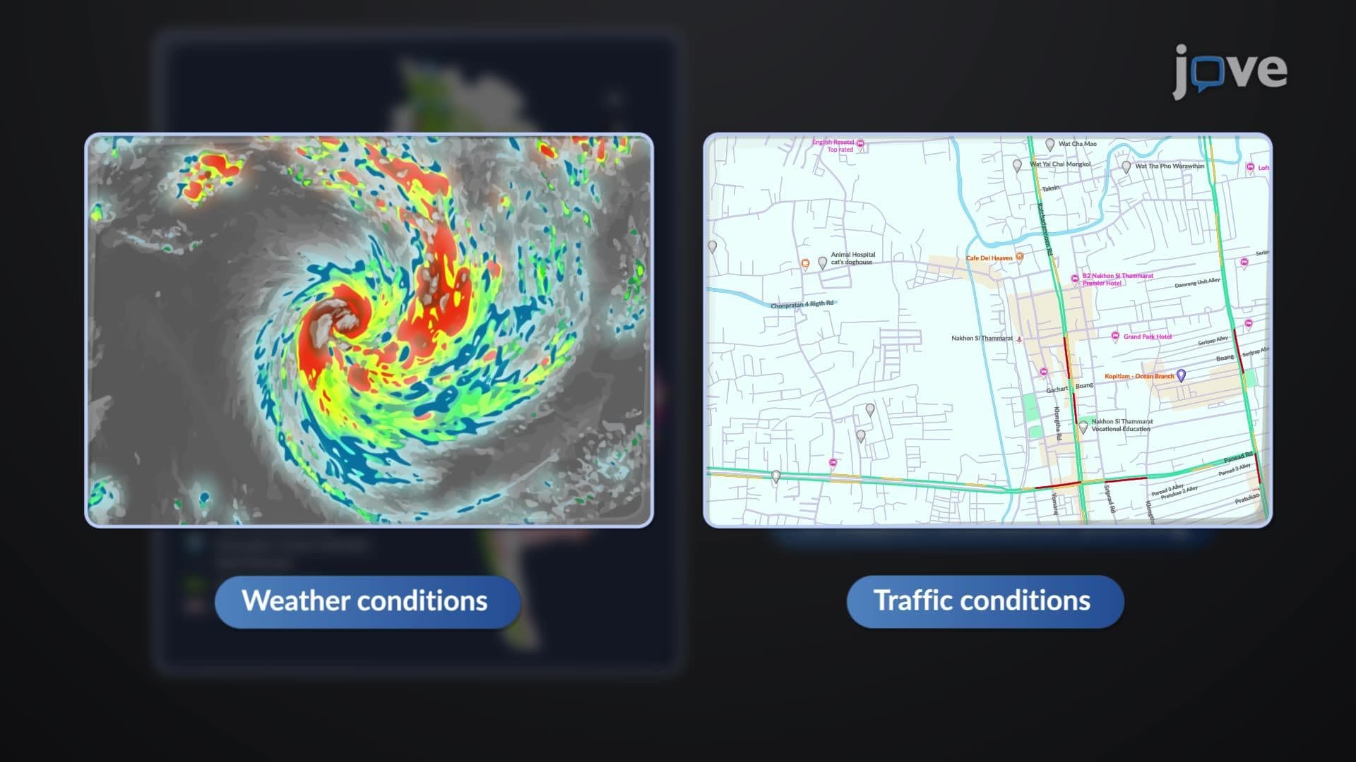
The practical applications of GIS extend across numerous sectors critical to American society. Urban planners in cities like Seattle and Austin rely on GIS for zoning decisions and resource allocation, layering information about population growth, transportation networks, and environmental constraints. The Federal Emergency Management Agency (FEMA) uses sophisticated GIS systems to create flood zone maps and coordinate disaster response efforts, as demonstrated during recent hurricanes along the Gulf Coast. In public health, the Centers for Disease Control and Prevention (CDC) employs GIS to track disease outbreaks, analyze environmental health risks, and optimize healthcare facility locations.
Academic and Professional Preparation
For students preparing for standardized tests like the AP Human Geography exam or college-level geography courses, understanding GIS concepts is increasingly important. Many universities, including the University of California system and Texas A&M, now offer dedicated GIS certificate programs and integrate spatial analysis into curricula across disciplines from environmental science to business analytics. The technology's growing importance in fields ranging from marketing to epidemiology makes GIS literacy a valuable skill for future career prospects.
Frequently Asked Questions
GIS is a technology that combines spatial data with attribute information to create powerful analytical and visualization tools. It's crucial because it enables decision-makers to understand complex geographic patterns and relationships, from tracking disease outbreaks to planning urban development projects across the United States.
Thematic layering allows different types of geographic information to be stacked and analyzed together, like overlaying population density with income levels and transportation routes. This layered approach reveals patterns and relationships that wouldn't be visible when examining each data type separately.
Yes, GIS principles frequently appear on AP Human Geography exams and are standard content in college-level geography and urban planning courses. Students should understand basic concepts like spatial analysis, thematic mapping, and real-world applications in urban planning and environmental management.
While direct GIS questions are rare on the SAT, understanding spatial relationships and map interpretation skills developed through GIS study enhance performance on geography-related questions. College admissions increasingly value students with technical skills including basic GIS literacy.
The New York Police Department uses GIS for crime mapping and patrol optimization, while the U.S. Geological Survey employs it for earthquake monitoring and natural resource management. Retail chains like Starbucks use GIS to analyze demographic data for optimal store placement decisions.
Basic GIS understanding requires only high school-level math, focusing more on spatial thinking and data interpretation than complex calculations. The technology handles computational work while users focus on analysis and decision-making based on visual patterns and relationships.
Focus on understanding real-world applications and practice interpreting different types of thematic maps. Create your own examples using familiar locations and datasets, and connect GIS principles to current events like disaster response or urban development projects in your region.
Consider studying remote sensing applications, GPS technology integration, and specialized fields like crime analysis or environmental modeling. Many students find career opportunities in urban planning, environmental consulting, or data science with strong GIS foundations.
Related Micro-courses


Related Subjects

Electrical Engineering33 micro-courses
›