Loading video…

 8 Concepts
 85 views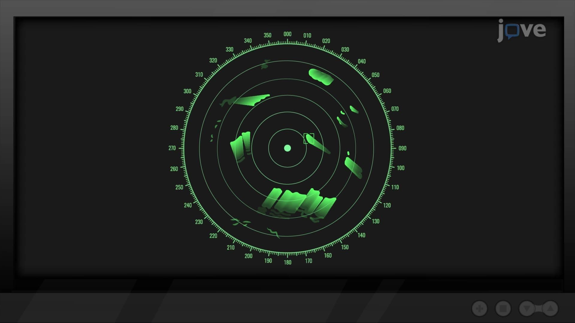

Video Summary: What Is Polar Coordinate System
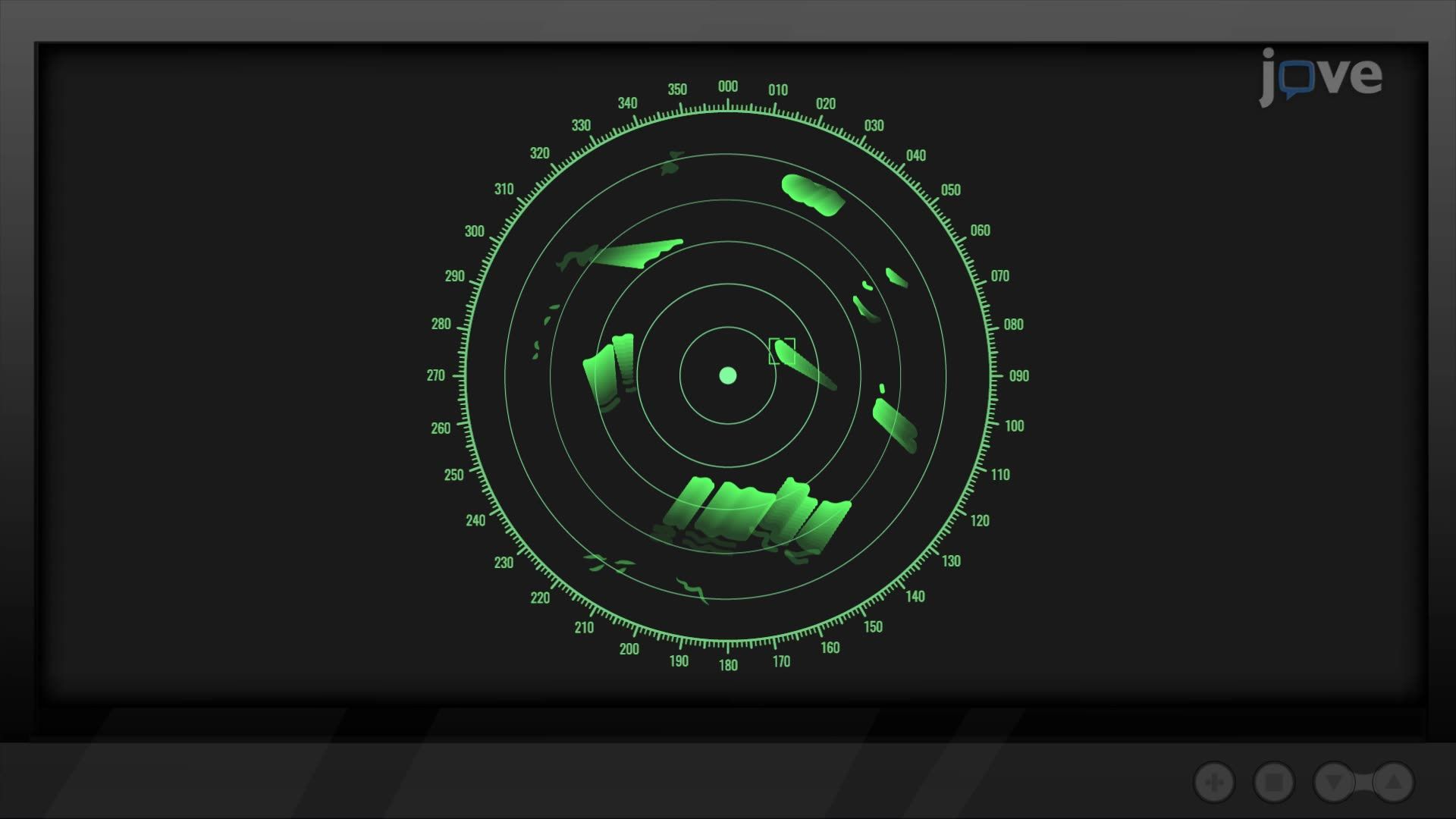
Did you know that radar systems on US Navy ships don't use street-map-style grids to track targets? They rely on the polar coordinate system, a powerful mathematical framework that locates points using distance and angle rather than x and y values. The polar coordinate system basics come to life through real applications like sonar, GPS, and circular motion analysis. Watch the full video on JoVE Coach to master this concept with expert-led visuals and step-by-step explanations.
The polar coordinate system is a two-dimensional coordinate framework where every point in a plane is defined by two values: a radial distance r from a central reference point called the pole, and an angular measurement theta from a fixed reference direction called the polar axis. Unlike the Cartesian system, which uses perpendicular x and y axes laid out like a city grid, the polar system is built around circular geometry. This makes it naturally suited for describing curves, rotations, and regions that would be cumbersome or impossible to express cleanly with standard rectangular equations.
The polar coordinate system explained simply: it measures *where something is* by asking "how far?" and "in what direction?" rather than "how far left/right and up/down?" This approach is especially powerful for graphing polar equations such as spirals, circles centered at the origin, and rose curves. In AP Calculus BC, one of the most rigorous high school math courses in the US, students are expected to compute the area of polar curves and arc length in polar coordinates, both of which depend on a solid conceptual foundation here. College courses in multivariable calculus and differential equations build directly on these same ideas.
Converting between coordinate systems is a core skill tested on AP exams and college midterms. Starting from a polar point (r, theta), picture a right triangle where r is the hypotenuse. Trigonometry gives the rectangular equivalents directly:
Going the other direction, from rectangular to polar, uses two familiar tools. The Pythagorean theorem gives: r squared = x squared + y squared. The tangent relationship gives: tan(theta) = y / x, which can be solved for theta using an inverse tangent function. Students should watch for quadrant ambiguity when solving for theta, since the inverse tangent function alone doesn't always return the correct angle without checking the signs of x and y.
One nuance that surprises many students is that a single point can have infinitely many valid polar representations. A point at (r, theta) can also be written as (r, theta + 2pi), since rotating a full circle returns to the same location. More interestingly, using a negative r value means traveling in the opposite direction along the same ray, so (-r, theta) lands at the same location as (r, theta + pi). This idea links directly to parametric equations examples explored in AP Calculus BC, where curves are traced with directionality in mind.
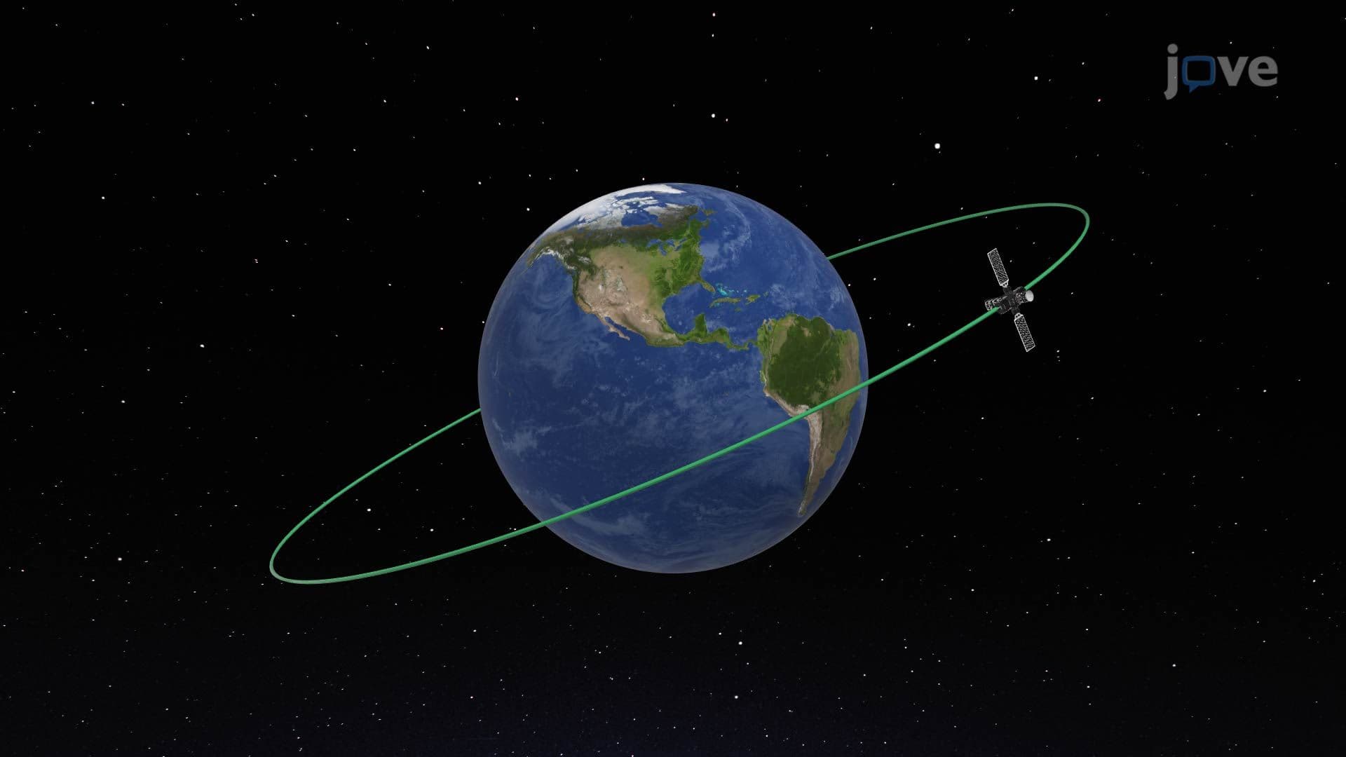
The polar coordinate system also provides the natural setting for conic sections in polar coordinates, ellipses, parabolas, and hyperbolas are expressed elegantly in polar form, appearing in astronomy (planetary orbits) and aerospace engineering at US universities like MIT and Caltech. Understanding how to find the slope of a parametric curve extends naturally into polar calculus, since polar equations can be reparametrized using theta as the independent variable, connecting calculus with parametric curves to the polar framework seamlessly.
Related Micro-courses